The best walks and hikes around Lupburg
4.7
(122)
834
hikers
99
hikes
Hiking around Lupburg offers varied terrain within the scenic Bavarian Jura landscape, characterized by the picturesque Black Laber Valley. The region features distinctive rock formations and a blend of historical sites and natural beauty. Hikers can explore paths along the Schwarze Laaber River and through varied topography, providing diverse outdoor experiences.
Best hiking trails around Lupburg
- The most popular hiking route is Parsberg Castle’s onion-domed towers – Parsberg train station loop from Lupburg, an 8.8 miles (14.2 km) trail…
Last updated: October 14, 2026
3.6
(8)
35
hikers
14.1km
03:48
180m
180m
Moderate hike. Good fitness required. Easily-accessible paths. Suitable for all skill levels.
4.4
(7)
47
hikers
6.94km
01:53
100m
100m
Easy hike. Great for any fitness level. Easily-accessible paths. Suitable for all skill levels.

4.3
(7)
32
hikers
Easy hike. Great for any fitness level. Easily-accessible paths. Suitable for all skill levels.
5.0
(3)
31
hikers
8.57km
02:18
100m
100m
Moderate hike. Good fitness required. Easily-accessible paths. Suitable for all skill levels.
4.3
(10)
54
hikers
Easy hike. Great for any fitness level. Easily-accessible paths. Suitable for all skill levels.
Get access to more routes and recommendations from other explorers.
Already have an account?
Our route recommendations are based on thousands of hikes, rides, and runs completed by other people on komoot.
Start today with a free account
Your next adventure awaits.
Tips from the Community

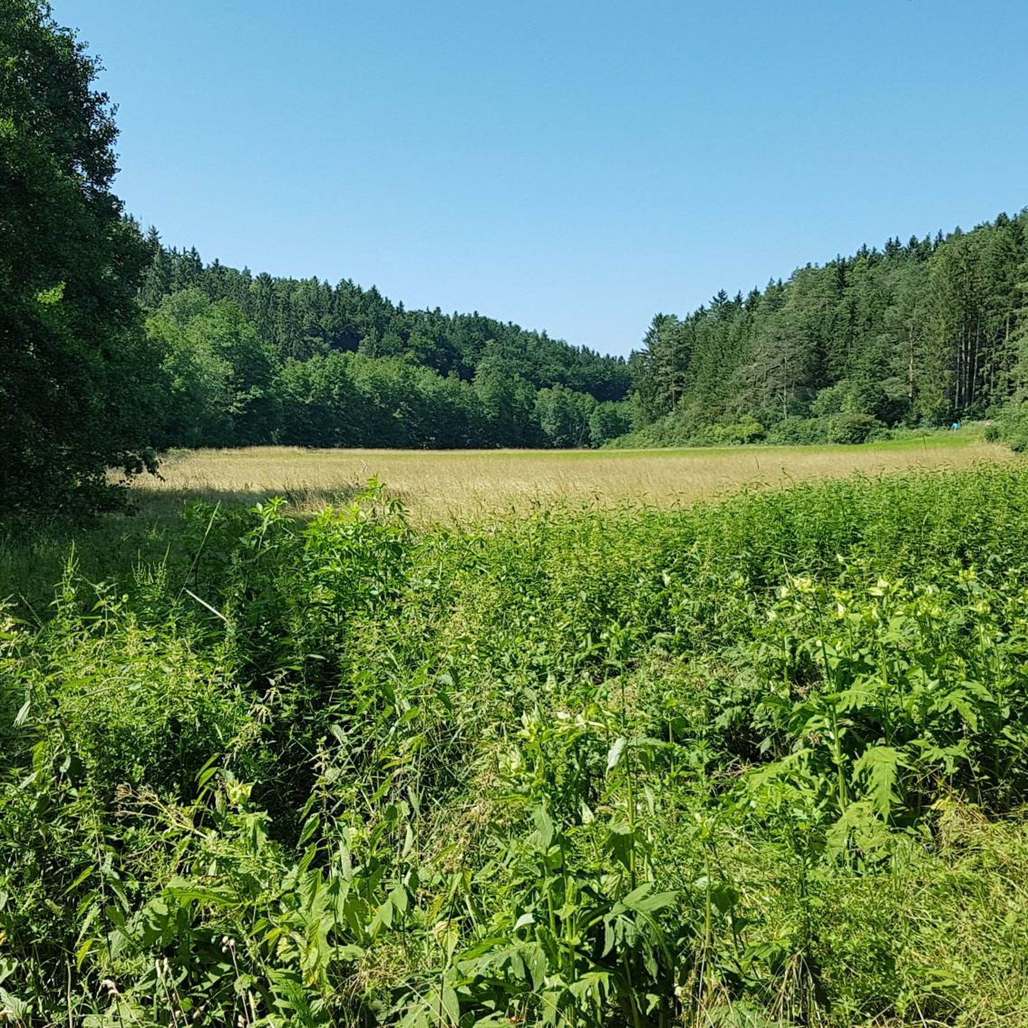
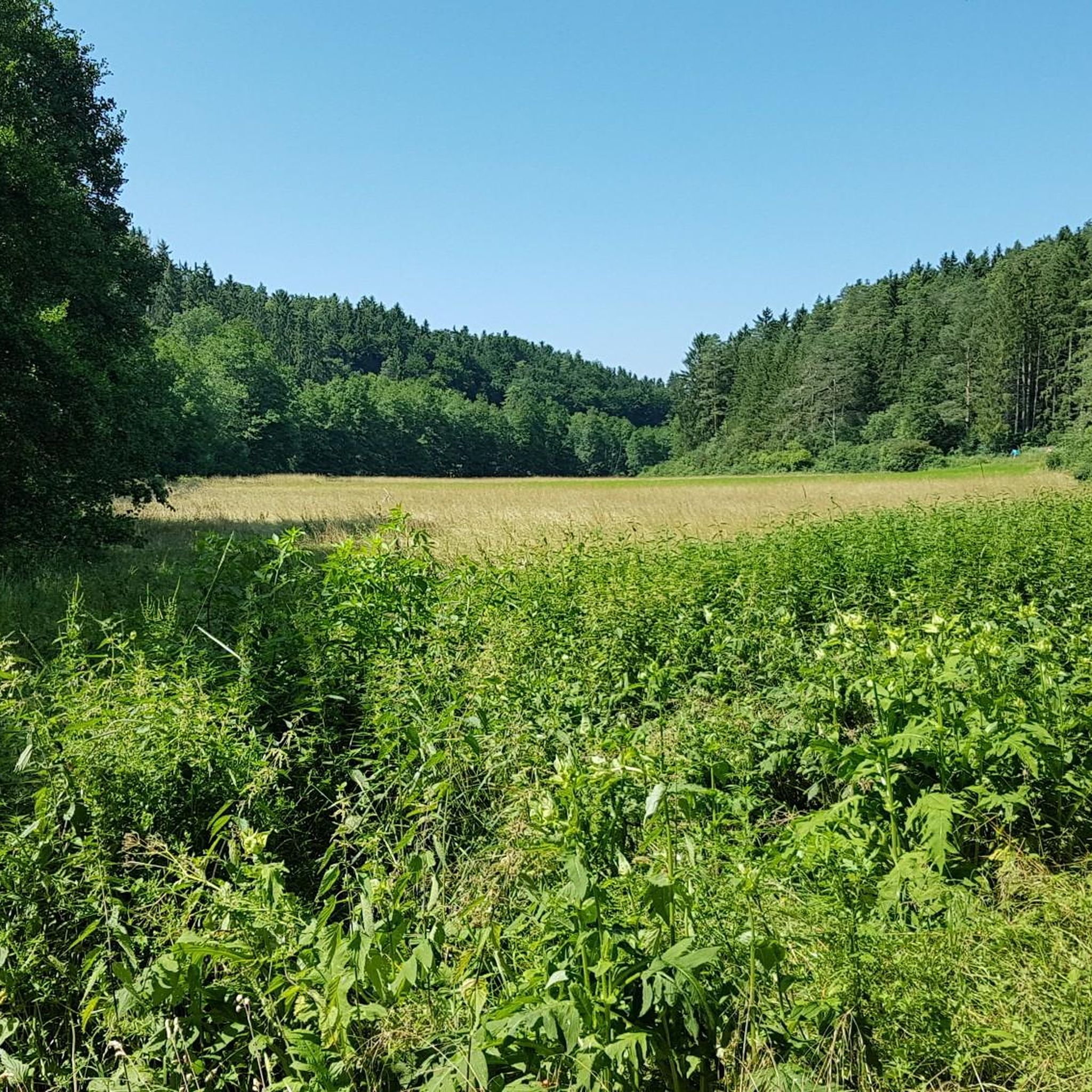
Between Degerndorf and Eggenthal, the narrow road by the cycle path is asphalted.
0
0
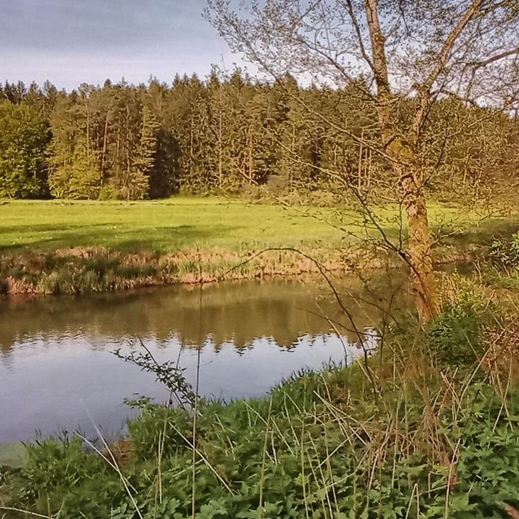
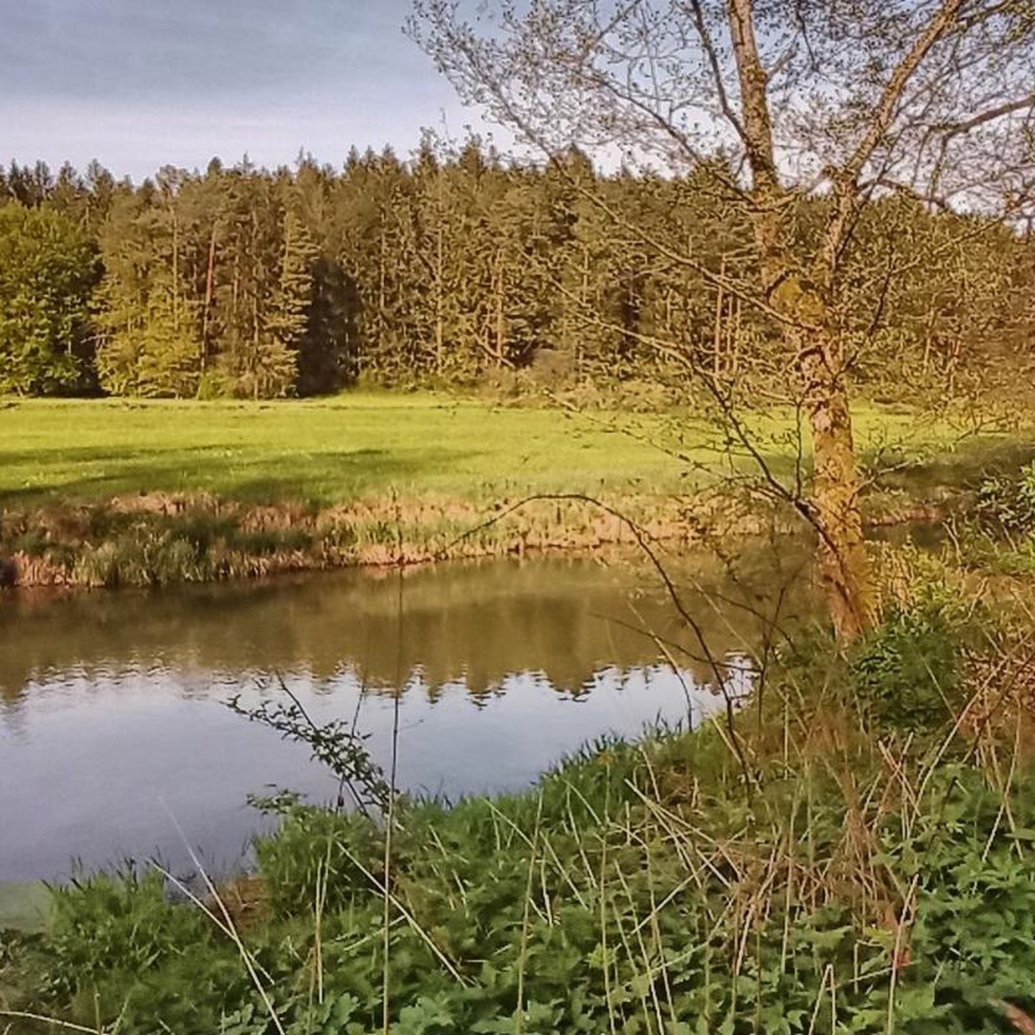
Beautiful resting place on the Schwarze Laber.
0
0
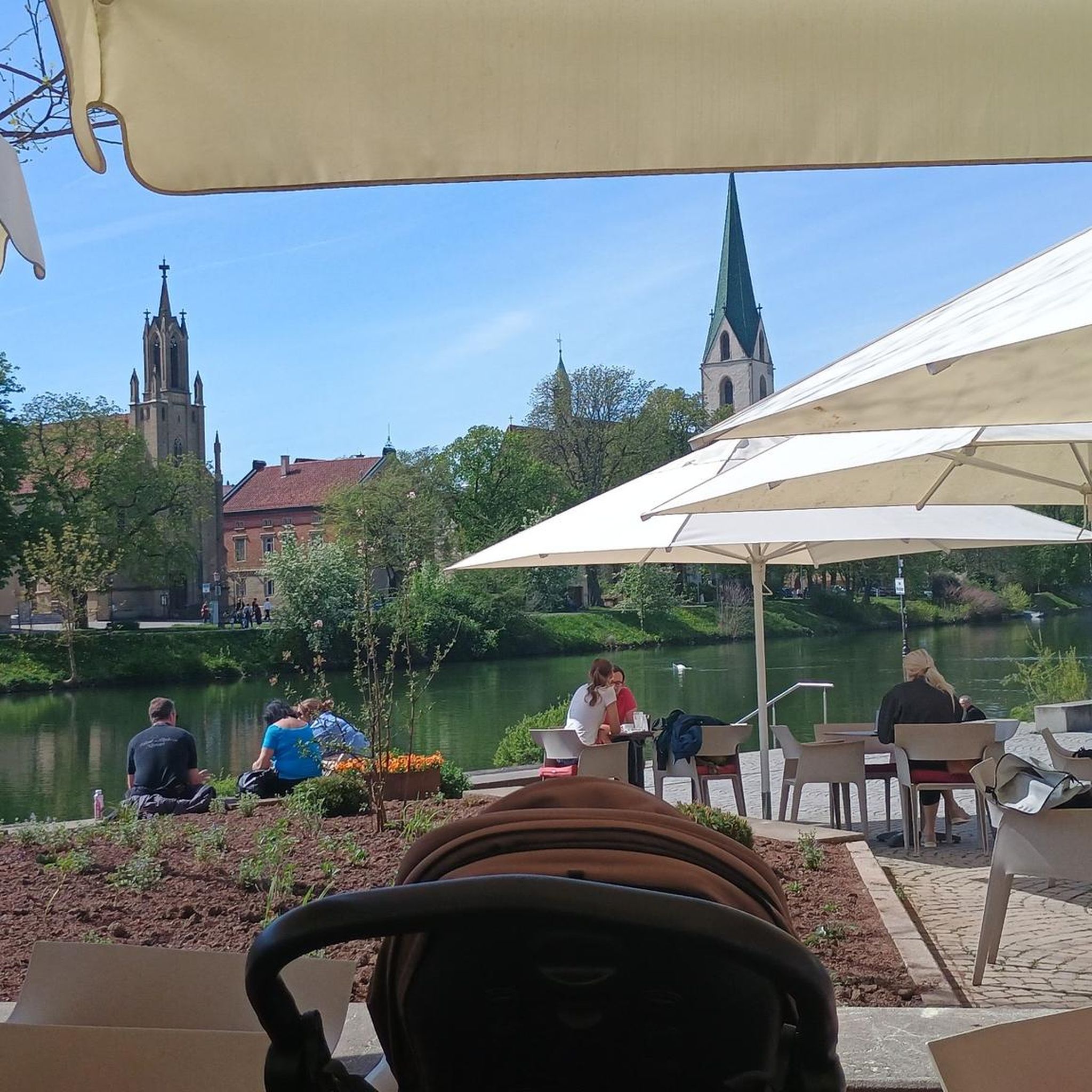
There are always resting opportunities.
0
0
Above Jura cliffs in dry grassland - below the Labertal
0
0
Small climbing rock near Fischhaus
0
0

Lupburg Castle is the ruin of a hilltop castle located in the town of Lupburg in the Neumarkt district of the Upper Palatinate region of Bavaria. The site is listed as an archaeological monument under file number D-3-6836-0065 in the Bavarian Atlas as "archaeological findings in the area of the medieval castle and the early modern palace of Lupburg." It is also listed as a protected architectural monument of Lupburg under file number D-3-73-143-4.
0
1
There are many flowers around the church in See.
1
0

Parish Church of St. Barbara The hall church, renovated in 1937, consists of a main nave and a northern side aisle, a recessed choir closed on three sides in the east, and a church tower in the west, the core of which was built in 1599, which was extended by two octagonal floors, divided by arched friezes and covered with an onion dome crowned with a lantern. The top floor houses the tower clock and the bell cage. The main nave is spanned inside by a wooden barrel vault that is integrated into the roof structure. The interior is particularly impressive due to the wooden ceiling and the beautiful baroque altars. The church furnishings include a high altar built in 1788, decorated with rocaille, which is flanked by statues of the princely apostles Peter and Paul. The martyrdom of Saint Barbara is depicted on the altarpiece. The Marian altar on the left shows the Mother of God standing on the globe, crushing the snake, the symbol of evil, under her feet; in her left hand she holds the white lily, a symbol of purity and love. The altarpiece shows a portrait of the Sacred Heart of Mary framed by two putti. In the right side altar we see a portrait of St. Joseph, the foster father of Christ, with the baby Jesus in his arms, and two putti at Joseph's feet, one of them again with the white lily. In the altarpiece there is a portrait of the Sacred Heart of Jesus framed by two putti. At the entrance there is an epitaph of Christoph von Parsberg, it dates from 1461 and shows the knight in full tournament armor with plate armor, sword and lance. The organ was built in 2009 by Josef Maier from Hergensweiler near Lindau. Source: Extracts from www.wikipedia.de
2
0
Frequently Asked Questions
How many hiking trails are available around Lupburg?
Lupburg offers a wide variety of hiking experiences, with over 100 routes available on komoot. These trails cater to different preferences, ranging from easy strolls to more challenging treks through the Bavarian Jura.
What kind of terrain can I expect on hikes around Lupburg?
The terrain around Lupburg is diverse, characterized by the scenic Bavarian Jura landscape and the picturesque Black Laber Valley. You'll encounter distinctive rock formations, varied topography, and paths winding along the Schwarze Laaber River. This blend provides engaging terrain for all types of hikers.
What do other hikers say about the trails in Lupburg?
The hiking routes in Lupburg are highly regarded by the komoot community, boasting an impressive average rating of 4.8 stars from over 100 reviews. Hikers often praise the varied scenery, the well-maintained paths, and the combination of natural beauty with historical landmarks.
Are there easy hiking options suitable for beginners or casual walkers in Lupburg?
Yes, Lupburg offers numerous easy hiking options. Approximately 59 of the available routes are classified as easy. An excellent example is the Eggenthaler Cave loop from Lupburg, which is a manageable 3.3 miles (5.2 km) and takes around 1 hour 24 minutes to complete, offering accessible terrain through the local landscape.
Are there any challenging hikes for experienced trekkers around Lupburg?
For those seeking a more challenging experience, Lupburg has a few demanding routes. The Sturmmühle – Black Laber River loop from Lupburg is a difficult 13.6 miles (21.9 km) trail that takes approximately 5 hours 46 minutes. This route features significant elevation changes and offers a more strenuous adventure through the region's diverse landscape.
What natural attractions can I discover while hiking near Lupburg?
While hiking near Lupburg, you can explore several natural wonders. The Hohlloch Cave (Velburg), a 'mega grotto,' is a significant natural attraction nearby. You can also enjoy the serene beauty of the Schwarze Laaber River, with its idyllic paths, and visit the unique Schwammerl Rock Formation, which offers a great resting spot and views.
Are there historical sites or castles to see on the trails around Lupburg?
Absolutely. The region is rich in history. You can hike to the prominent medieval Velburg Castle Ruins, which offer panoramic views from its tower. The Ehrenfels Castle Ruins, with its visible ramparts and moats, is another historical gem. Additionally, the Parsberg Castle’s onion-domed towers – Parsberg train station loop from Lupburg offers views of Parsberg Castle, which houses a museum.
Are there circular hiking routes available in Lupburg?
Yes, many of the trails around Lupburg are designed as circular routes, allowing you to start and end at the same point. An example is the St. Martin Church in See – Mariengrotte Wieselbruck loop from See, a 5.3 miles (8.6 km) trail that leads through varied scenery and is often completed in about 2 hours 17 minutes.
Is Lupburg a good destination for family-friendly hikes?
Lupburg is well-suited for family-friendly hikes, especially with its abundance of easy and moderate trails. The varied landscape and historical sites provide engaging points of interest for all ages. Many shorter, less strenuous loops are available, perfect for a family outing.
Can I bring my dog on the hiking trails in Lupburg?
Generally, the hiking trails around Lupburg are dog-friendly, allowing you to enjoy the scenic Bavarian Jura with your canine companion. It's always recommended to keep dogs on a leash, especially in nature reserves or near livestock, and to carry water for them. Always check local signage for any specific restrictions.
What is the best time of year to go hiking in Lupburg?
The best time to hike in Lupburg is typically from spring through autumn (April to October). During these months, the weather is generally pleasant, and the natural scenery, from blooming wildflowers to vibrant autumn foliage, is at its most beautiful. Summer offers longer daylight hours, while spring and autumn provide cooler temperatures ideal for longer treks.
Are there options for public transport or parking near the trailheads in Lupburg?
While specific public transport connections to every trailhead might be limited in this rural region, Lupburg itself has some public transport links. For most trails, parking is generally available near the starting points or in the town center. It's advisable to check the specific route details on komoot for information on parking facilities at individual trailheads.
Most popular attractions around Lupburg

Get inspired with the komoot mobile app


Explore more
Browse the best Hikes in other regions.
