The best traffic-free bike rides in the Purcell Mountains
5.0
(3)
232
riders
7
rides
No traffic road cycling routes in the Purcell Mountains traverse a landscape characterized by rugged, glaciated peaks and diverse ecosystems. The region features significant elevation changes, with towering mountains, alpine lakes, and extensive old-growth forests. Cyclists can expect to encounter verdant wetlands, rushing rivers, and scenic valleys, offering varied terrain for road biking. This mountainous area provides a challenging environment for cycling, with routes often winding through forested areas and along waterways.
Best no traffic road cycling routes in the…
Last updated: October 1, 2026
5.0
(1)
19
riders
25.3km
01:37
510m
510m
Moderate road ride. Good fitness required. Mostly well-paved surfaces and easy to ride.
16
riders
36.7km
02:02
360m
360m
Moderate road ride. Good fitness required. Mostly well-paved surfaces and easy to ride.

15
riders
38.5km
02:09
400m
400m
Moderate road ride. Good fitness required. Mostly well-paved surfaces and easy to ride.
13
riders
38.6km
01:50
520m
520m
Moderate road ride. Good fitness required. Mostly well-paved surfaces and easy to ride.
9
riders
23.1km
01:25
360m
360m
Moderate road ride. Good fitness required. Mostly well-paved surfaces and easy to ride.
Get access to more routes and recommendations from other explorers.
Already have an account?
Our route recommendations are based on thousands of hikes, rides, and runs completed by other people on komoot.
Start today with a free account
Your next adventure awaits.






Tips from the Community

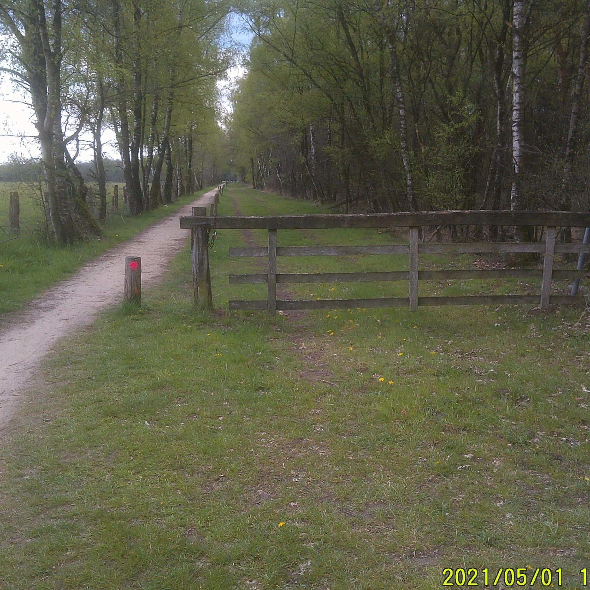
Here in Marysville, along the North Star Rail Trail, you get a great peek into the Canadian Rockies. The trail connects Cranbrook and Kimberley as it runs between the Purcell Mountains and the Rocky Mountain Trench. You get a great view of southeastern BC's layered landscape, where grasslands become forests, and lakes and rivers flow through the valley. From here, you can clearly see Mount Fisher in Top of the World Provincial Park.
0
0
Frequently Asked Questions
How many no traffic road cycling routes are available in the Purcell Mountains?
You'll find a good selection of routes designed for road cycling with minimal traffic in the Purcell Mountains. Our guide features 9 such routes, ranging from moderate to easy, ensuring a pleasant experience away from busy roads.
What is the best time of year for no traffic road cycling in the Purcell Mountains?
The prime season for road cycling in the Purcell Mountains is typically from late spring through early autumn. During these months, the weather is generally mild, and the mountain passes are clear of snow, offering the best conditions to enjoy the region's stunning scenery.
What is the typical difficulty level for no traffic road cycling routes here?
Most of the no traffic road cycling routes in the Purcell Mountains are classified as moderate, offering a good challenge with rewarding views. There is also at least one easy route available, suitable for those looking for a more relaxed ride. Expect varying elevation gains that showcase the region's mountainous character.
Are there any family-friendly no traffic road cycling options in the Purcell Mountains?
While many routes offer a moderate challenge, the region does provide options suitable for families. Look for routes with less elevation gain and smoother surfaces. The Kicking Horse River loop from Dawn Mountain Nordic Trails Recreation Site, for example, offers a manageable distance and elevation.
Can I find paved, car-free cycling routes in the Purcell Mountains?
Yes, the Purcell Mountains region offers dedicated paved trails that are car-free, such as the North Star Rail Trail connecting Kimberley and Cranbrook. While not all routes in this guide are entirely car-free, they are specifically chosen for their minimal traffic, providing a quiet and enjoyable road cycling experience.
What natural features or viewpoints can I expect to see along no traffic road cycling routes?
The Purcell Mountains are renowned for their rugged, glaciated landscapes and diverse ecosystems. Along your rides, you can expect dramatic mountain vistas, pristine alpine lakes like Cedar Lake, and glimpses of old-growth forests. The region's waterways, including the Columbia River system, also offer scenic beauty.
Are there any specific landmarks or attractions accessible from these routes?
Yes, several routes offer access to notable landmarks. You might pass by impressive geological formations like Canyon Creek Gorge or enjoy views of significant peaks such as Terminator Peak. The Gray Creek Pass is another notable feature in the area.
Where can I park when starting a no traffic road cycling route in the Purcell Mountains?
Many routes in the Purcell Mountains start from accessible locations with parking. For example, the Roadbike loop from Cranbrook begins in a town with parking facilities, and the Roadbike loop from Wycliffe Exhibition Grounds also offers convenient starting points with parking.
What kind of terrain should I expect on no traffic road cycling routes in the Purcell Mountains?
You'll primarily encounter paved roads on these routes, chosen for their minimal traffic. However, given the mountainous terrain of the Purcells, expect significant elevation changes, including climbs and descents. Some routes might feature sections with varying pavement quality, but the focus is on smooth, quiet surfaces.
Are there any loop routes for no traffic road cycling in the Purcell Mountains?
Absolutely! Many of the no traffic road cycling routes in the Purcell Mountains are designed as loops, allowing you to start and finish at the same point. Examples include the View of the Ski Slope loop from Grandview Heights FS Industrial Rd 2 (SB) and the Toby Creek loop from James Chabot Provincial Park, offering circular journeys through the scenic landscape.
What do other road cyclists enjoy the most about road cycling in the Purcell Mountains?
The komoot community highly rates road cycling in the Purcell Mountains, with an average score of 5.0 stars. Reviewers often praise the stunning mountain views, the tranquility of the low-traffic roads, and the challenging yet rewarding climbs that offer a true sense of accomplishment amidst breathtaking natural beauty.
Are there any waterfalls visible from no traffic road cycling routes?
While not directly on every route, the Purcell Mountains are home to beautiful waterfalls. You might find opportunities to visit attractions like Lower Bugaboo Falls, which could be a short detour from some of the quieter roads, adding another natural highlight to your cycling adventure.
Most popular routes in the Purcell Mountains
Most popular attractions in the Purcell Mountains

Get inspired with the komoot mobile app


Explore more
Browse the best Road cycling routes in other regions.
