The best hikes from bus stations in Mayenne
4.5
(2833)
16,080
hikers
273
hikes
Bus station hiking trails in Mayenne offer access to a diverse landscape in Western France. The department is characterized by its extensive network of trails, including ancient "sunken paths" and the Mayenne River's green banks. Terrain varies from the wooded hills of the Normandie-Maine Regional Natural Park to the gentler slopes along the river, providing varied elevation profiles for hikers. The region's natural features include the Armorican massif's highest point, Mont des Avaloirs, and the picturesque hills of the Alpes…
Last updated: August 21, 2026
4.3
(6)
20
hikers
6.97km
01:50
60m
70m
Hike the easy 4.3-mile Circuit de Saint-Pierre loop from Saint-Pierre-sur-Erve, exploring the Erve Valley, Moulin de Gô, and Saint-Sylvain C
4.5
(2)
9
hikers
26.5km
06:53
170m
170m
Hike the difficult 16.4-mile (26.5 km) loop along the Mayenne River from Château-Gontier, featuring riverside views and historic sites.

Sign up for free
4.3
(3)
9
hikers
4.87km
01:15
20m
20m
Easy hike. Great for any fitness level. Easily-accessible paths. Suitable for all skill levels.
4.8
(13)
97
hikers
Moderate hike. Good fitness required. Easily-accessible paths. Suitable for all skill levels.
4.9
(9)
41
hikers
Moderate hike. Good fitness required. Easily-accessible paths. Suitable for all skill levels.
Get access to more routes and recommendations from other explorers.
Sign up for free
Already have an account?
Our route recommendations are based on thousands of hikes, rides, and runs completed by other people on komoot.
Start today with a free account
Your next adventure awaits.
Login or Signup
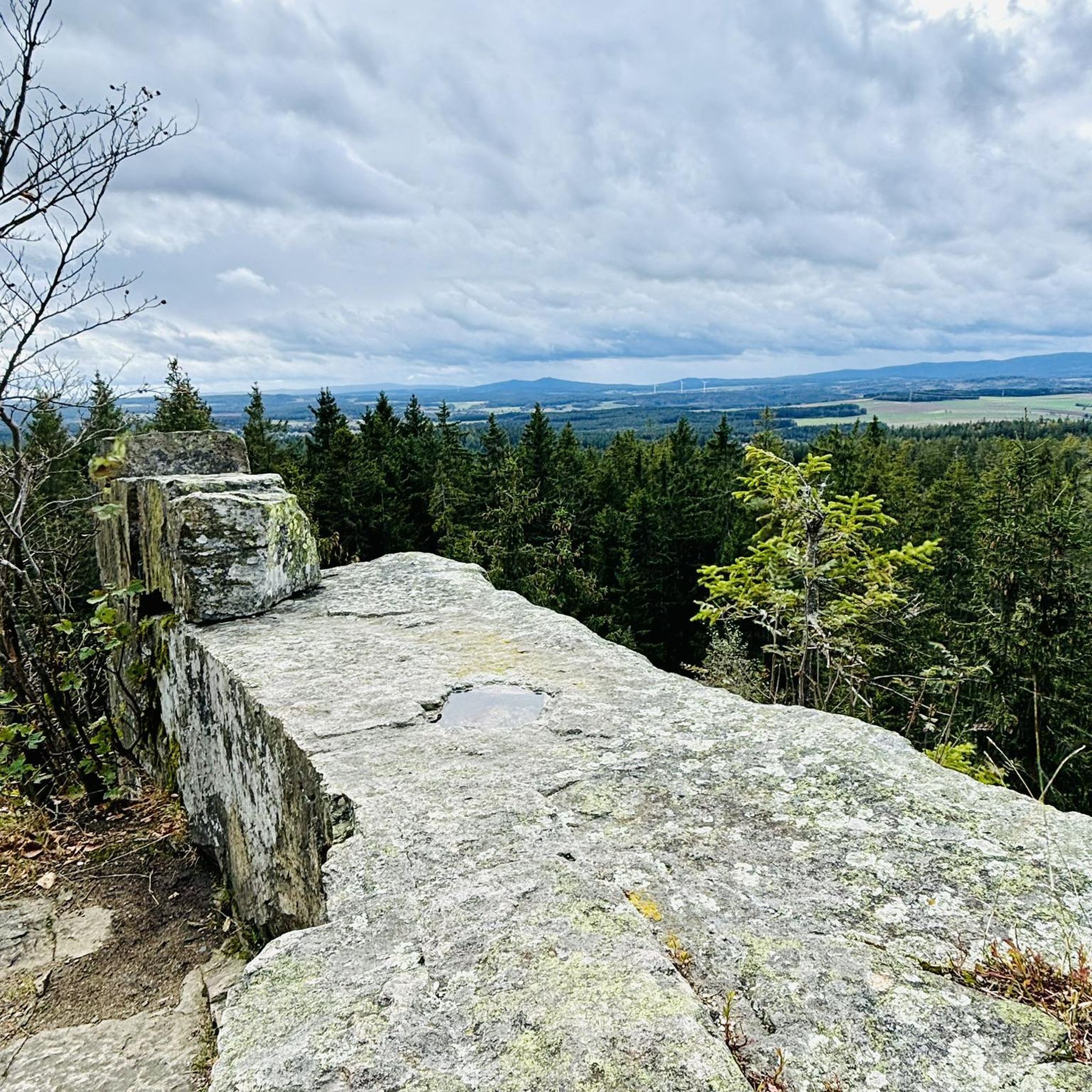

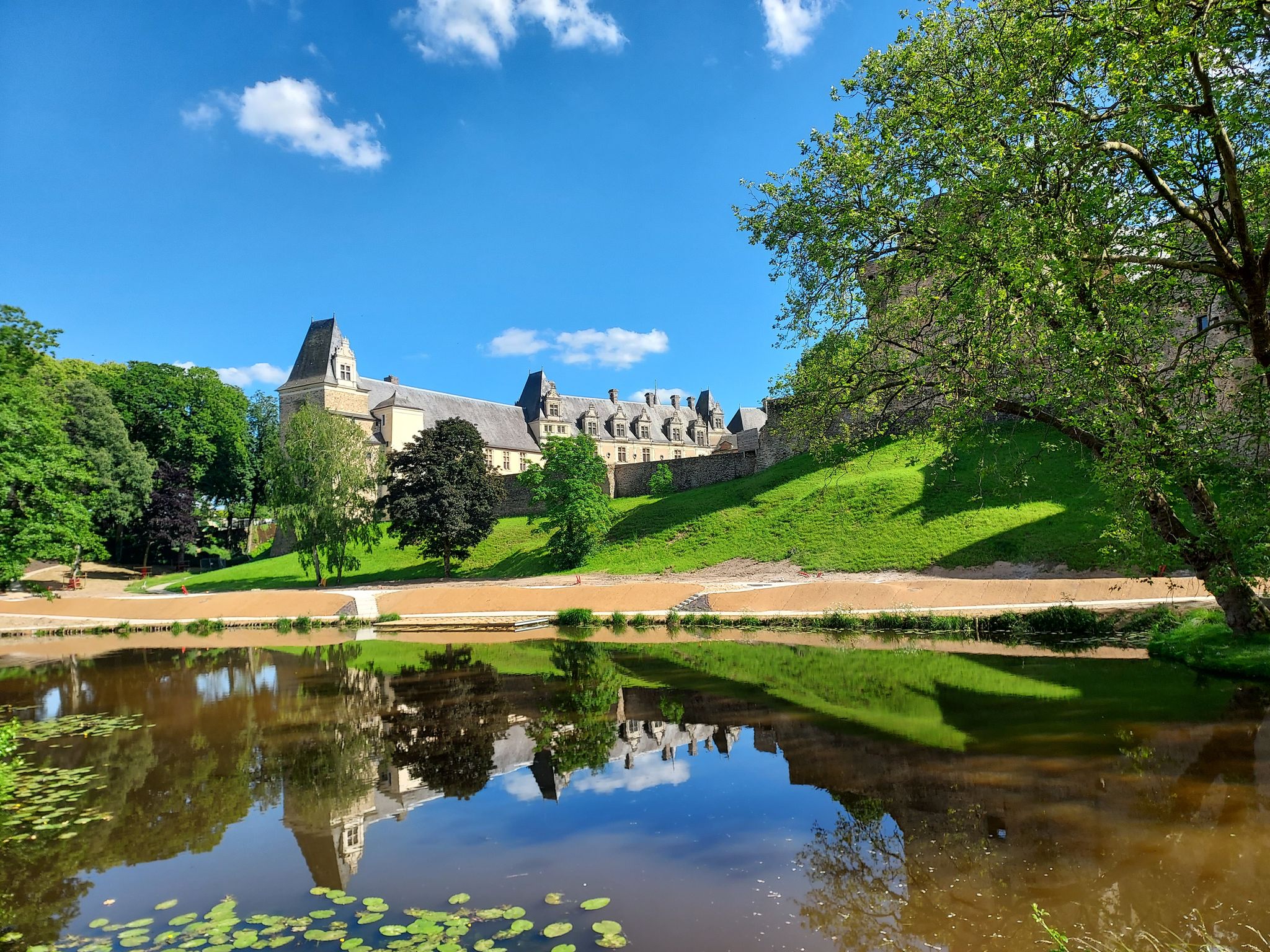
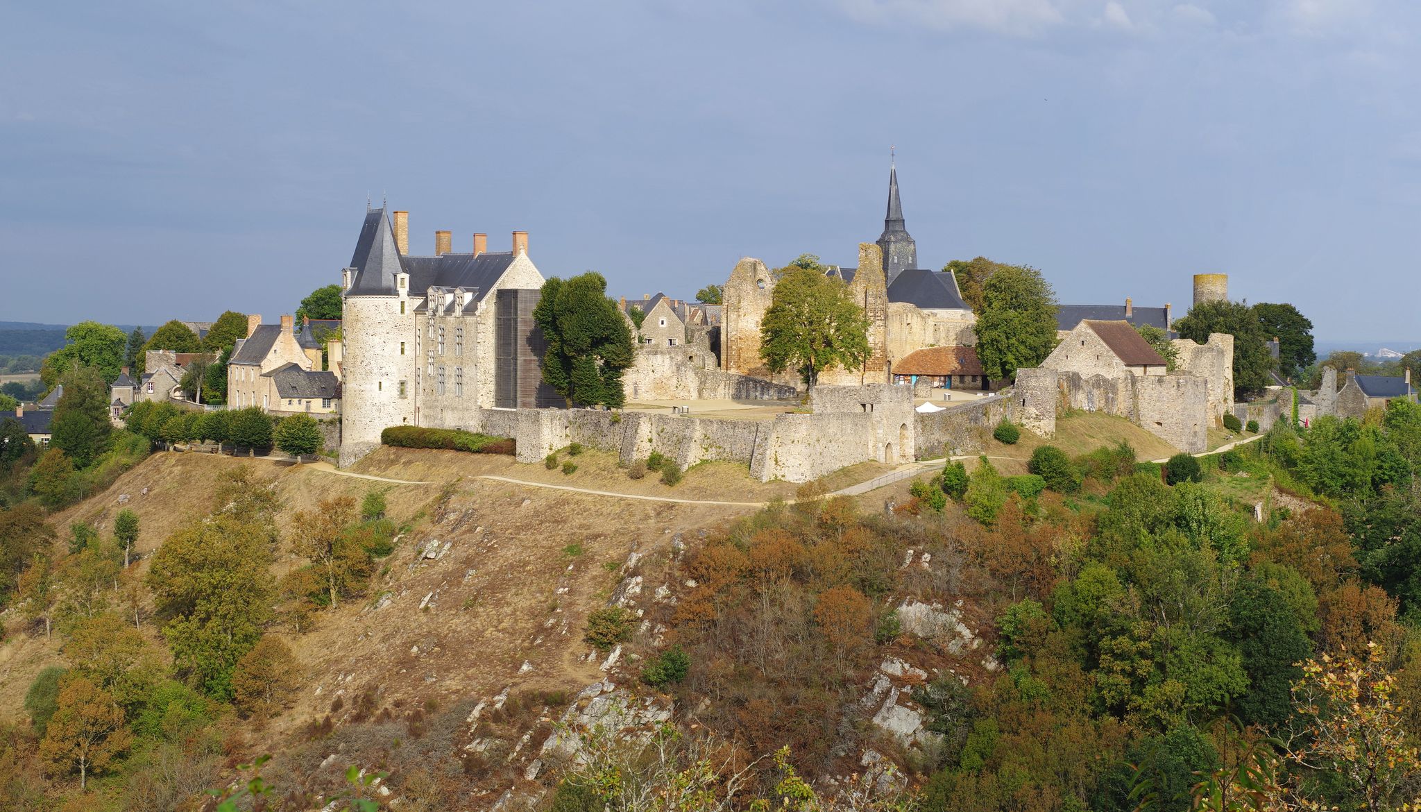
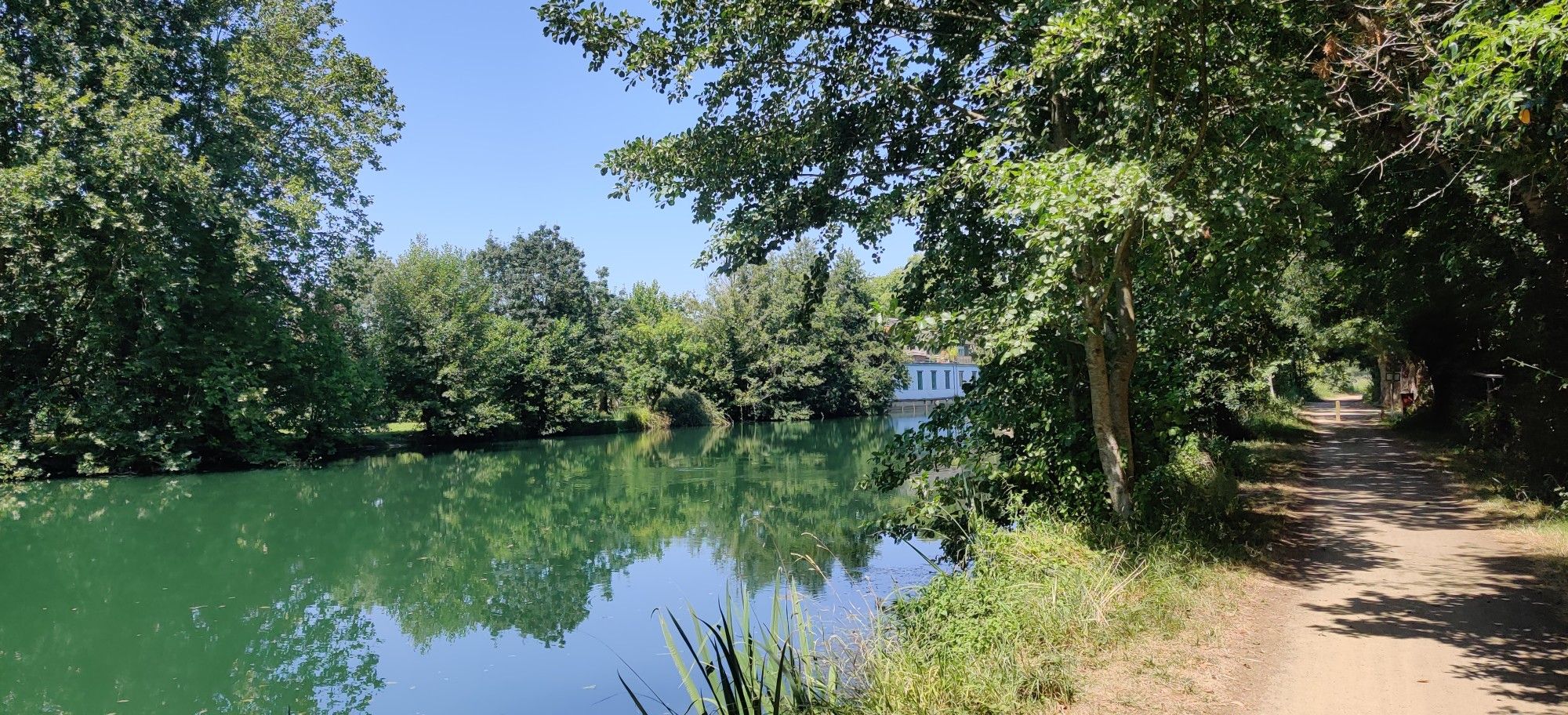
Other adventures in Mayenne


Tips from the Community

Remains of the old medieval ramparts.
0
0
House from the late 18th century, recognizable by its roof that evokes a pagoda and the human and animal statues that decorate the garden.
0
0
Magnificent view of the Mayenne and the village of Daon.
0
0
Very rolling and shaded path
0
0
You can see a beautiful mill on the other side of the dam.
0
0

The town belongs to the group "Most Beautiful Places in France" and "Small Towns with Character".
1
0

Magnificent viaduct, the largest in Mayenne, blends in very well with the landscape.
0
0

Atypical work of art (a little special all the same in this green setting on the banks of the Mayenne) with a staircase under the deck which allows you to cross the Mayenne.
0
0
Frequently Asked Questions
How many hiking trails are accessible from bus stations in Mayenne?
Mayenne offers over 220 hiking routes that are conveniently accessible from various bus stations. These trails cater to a wide range of preferences, from easy strolls to more challenging excursions.
What kind of terrain can I expect on bus station hikes in Mayenne?
The terrain in Mayenne is diverse, featuring gentle riverbanks, wooded hills, and the unique 'sunken paths' (chemins creux) characteristic of the region. Many routes, especially along the River Mayenne, are relatively flat, while areas like the Normandie-Maine Regional Natural Park offer more varied elevations. You'll find trails suitable for all fitness levels, from easy to difficult.
Are there any family-friendly hiking options accessible by bus in Mayenne?
Yes, Mayenne has many family-friendly trails. Routes along the Mayenne towpath are generally flat and safe, perfect for families. For an easy and scenic option, consider the Along the Erve — loop from Saint-Pierre-sur-Erve, which offers a gentle walk through nature.
Can I bring my dog on these bus station hiking trails?
Many trails in Mayenne are dog-friendly, but it's always best to check local regulations for specific routes, especially within natural parks or protected areas. Generally, dogs are welcome on a leash. The extensive network of country lanes and greenways provides ample space for walks with your canine companion.
What natural features or landmarks can I see along these routes?
Mayenne's bus station accessible trails often lead to beautiful natural and historical sites. You might encounter the tranquil River Mayenne, explore sections of the Normandie-Maine Regional Natural Park, or discover ancient 'sunken paths'. Notable landmarks include the medieval Lassey Castle and the historic Château-Gontier Castle. The Sainte-Suzanne Castle – The Mills Walk loop is a great option to combine history with nature.
Are there circular hiking routes available from bus stations?
Yes, many of the trails accessible from bus stations in Mayenne are circular, allowing you to start and end your hike at the same point without needing to retrace your steps. An example is the Château-Gontier Castle – Mirwault Lock loop, which offers a scenic circular walk.
What is the best time of year to hike in Mayenne?
Spring (April-June) and autumn (September-October) are generally considered the best times for hiking in Mayenne. During these seasons, the weather is mild, the landscapes are vibrant with spring blooms or autumn colors, and the trails are less crowded. Summer can also be pleasant, but be prepared for warmer temperatures.
What do other hikers enjoy most about the trails in Mayenne?
The komoot community highly rates the hiking experiences in Mayenne, with an average score of 4.57 stars. Hikers often praise the region's peaceful natural beauty, the well-maintained network of trails, and the opportunity to discover charming villages and historical sites. The tranquility of the River Mayenne and the unique 'sunken paths' are frequently highlighted.
Are there any easy, short hikes I can do from a bus station?
Absolutely. Mayenne offers numerous easy and short routes perfect for a quick escape into nature. The Saint-Pierre Trail is an easy option, covering less than 7 km with minimal elevation gain, making it suitable for a relaxed walk.
Where can I find more information about the unique 'sunken paths' in Mayenne?
The 'sunken paths' (chemins creux) are a distinctive feature of Mayenne's rural landscape, offering a unique, tunnel-like hiking experience. You can learn more about these ancient paths and their significance on the Coëvrons Tourisme website: Les Chemins Creux.
Are there any longer, more challenging routes accessible by bus?
For those seeking a longer and more challenging adventure, Mayenne also offers routes like the Mayenne Towpath Loop from Château-Gontier. This difficult route spans over 26 km, providing a full day's hike along the scenic river, ideal for experienced hikers looking for an extensive exploration.
Most popular routes in Mayenne
Most popular attractions in Mayenne

Get inspired with the komoot mobile app


Didn’t find what you were looking for?
Check out more Hikes throughout Mayenne below and find the perfect route in your destination.
Explore more
Browse the best Hikes in other regions.
