The best hikes from bus stations in Leitrim
4.5
(721)
3,808
hikers
11
hikes
Bus station hiking trails in Leitrim traverse a landscape characterized by rolling drumlin hills, lush forests, and significant waterways. The region features prominent lakes such as Lough Allen and Lough MacNean, alongside the River Shannon. Elevations include peaks like Sliabh an Iarainn, rising to 585 meters, and the distinctive Eagles Rock. This diverse terrain offers a variety of hiking experiences, from gentle lakeside paths to more challenging mountain ascents.
Best bus station hiking trails in Leitrim
- The most popular bus…
Last updated: July 2, 2026
2
hikers
2.96km
00:45
10m
10m
Easy hike. Great for any fitness level. Easily-accessible paths. Suitable for all skill levels.
3.0
(1)
1
hikers
4.74km
01:14
40m
40m
Easy hike. Great for any fitness level. Easily-accessible paths. Suitable for all skill levels.

Sign up for free
5.0
(3)
29
hikers
20.3km
06:00
540m
540m
Hard hike. Very good fitness required. Easily-accessible paths. Suitable for all skill levels.
3.8
(4)
17
hikers
6.26km
01:39
60m
60m
Easy hike. Great for any fitness level. Easily-accessible paths. Suitable for all skill levels.
4.3
(3)
13
hikers
12.6km
03:14
60m
60m
Moderate hike. Good fitness required. Easily-accessible paths. Suitable for all skill levels.
Get access to more routes and recommendations from other explorers.
Sign up for free
Already have an account?
Our route recommendations are based on thousands of hikes, rides, and runs completed by other people on komoot.
Start today with a free account
Your next adventure awaits.
Login or Signup
Popular around Leitrim
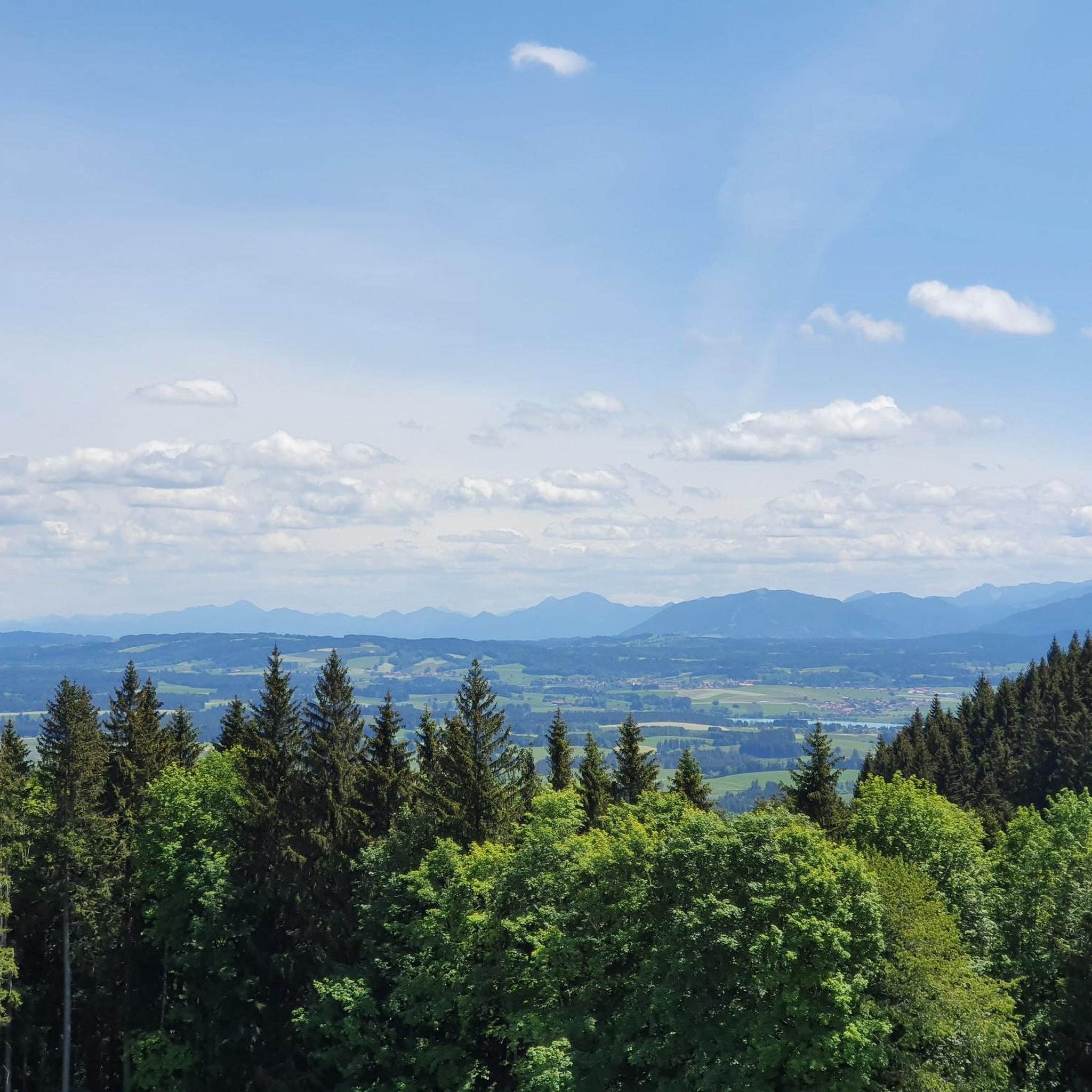
Hikes from bus stations around Manorhamilton

Follow the water - Along Ireland's rivers and lakes

Ireland's blue rivers and lakes – walks along the water
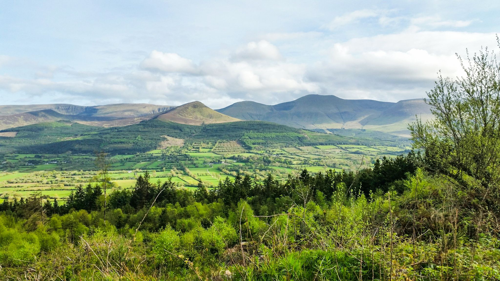
Hiking through the heart of the Emerald Isle – discover central Ireland

Irish wanderlust — 8 long-distance hiking trails on the Emerald Isle
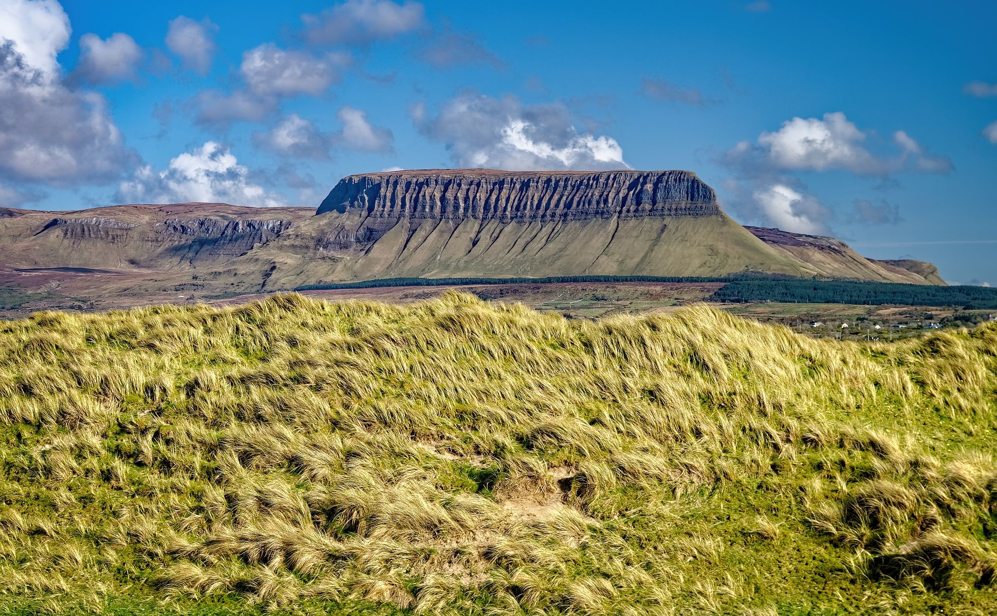
Walking through the heart of the Emerald Isle in Central Ireland
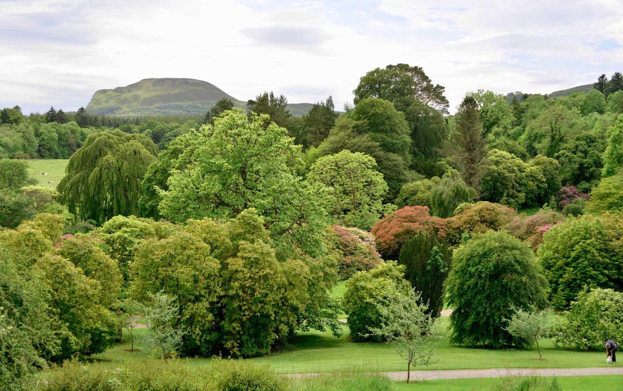
Kingfisher Trail – Explore Ireland's diverse history and nature by bike
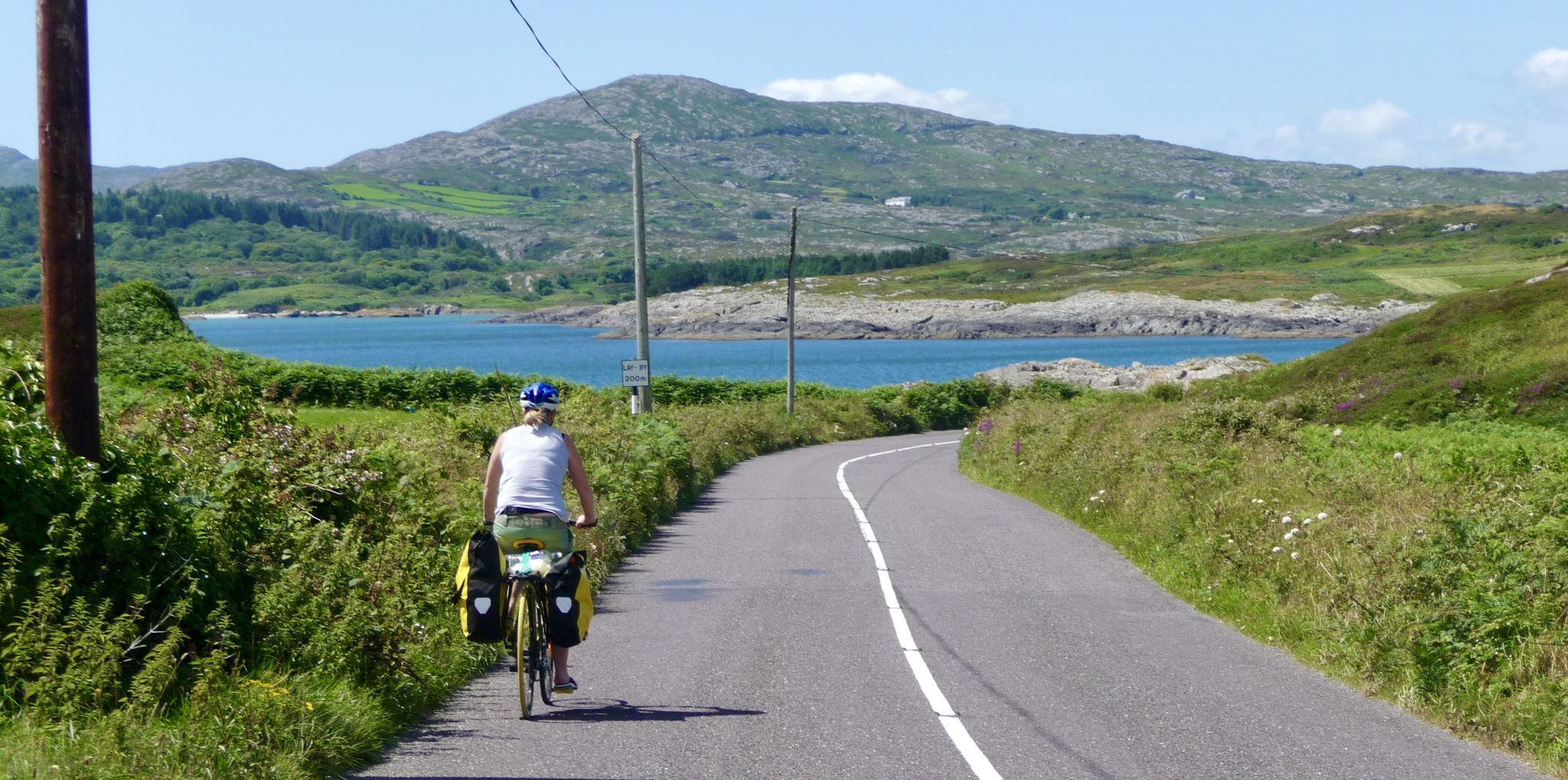
Discover beautiful Ireland – cycle end-to-end from Mizen to Malin
Other adventures in Leitrim


Tips from the Community

The West End Pool is a huge rock pool that has been dammed to become a tidal swimming pool. The high tide changes the water, and the low tide exposes the pool which then warms up (sometimes). It's a great place for a safer swim.
0
0
Known as the west end Cliff Walk this coastal trail follows the shoreline west of Bundoran. You can visit the tidal pool, make the walk into a longer loop by including the Rougey Walk or simply time it right and witness a perfect sunset.
0
0

With its picturesque scenery, serene waters and attendant gastropubs, the Shannon-Erne Waterway is popular with cruisers and visitors. It links the Shannon Navigation and the Erne System, two of the nation's great waterways. This section near Ballinamore makes for a pleasant amble.
0
0
An attractive waterside town, Ballinamore has much to offer visitors. Its lively streets host good pubs and restaurants, while a stroll along the towpath of the Shannon-Erne Waterway is very pleasant. The town is renowned for its abundance of coarse angling waters.
0
0
This lock on the Shannon–Erne Waterway features on the Ballinamore Town Loop, a picturesque route that makes full use of the canal's towpath. With its rich heritage and waterside setting, Ballinamore itself is a great place to explore and is particularly renowned for its wealth of coarse angling waters.
0
0

Beautiful sandy beach on Donegal Bay, overlooking Mullaghmore and the Donegal coastline. A lively, accessible beach along Bundoran's promenade.
2
0
Quiet, open part of Donegal Bay where the Breedoge River flows into the sea. Wide horizon, tidal flats and views of Bundoran make this a subtle but atmospheric landscape moment between Tullaghan and the Donegal coast.
3
0
Neo-Gothic courthouse from 1878 on Teeling Street, designed by James Rawson Carroll. The sandstone facade with turrets and pointed arches gives the building a strikingly stately character. A rare example of Victorian architecture outside of Dublin.
3
0
Frequently Asked Questions
How many hiking trails are accessible from bus stations in Leitrim?
There are 9 hiking trails in Leitrim that are easily accessible from bus stations, offering a convenient way to explore the region's natural beauty without needing a car.
Are there easy hiking trails accessible by bus in Leitrim?
Yes, Leitrim offers a good selection of easy hiking trails reachable by bus. Out of the 9 routes, 6 are rated as easy, making them suitable for most fitness levels. For example, the Sligo Courthouse – Sligo Abbey loop from Sligo is a gentle urban walk, and the Hyde Bridge – Garavogue Riverside Walk loop from Sligo offers a pleasant riverside stroll.
What do other hikers say about the bus station trails in Leitrim?
The trails accessible from bus stations in Leitrim are highly regarded by the komoot community, with an average rating of 4.53 out of 5 stars from 635 reviews. Hikers frequently praise the scenic beauty, the tranquility of the routes, and the convenience of public transport access.
Are there any circular hiking routes reachable by bus in Leitrim?
Yes, many of the bus-accessible routes in Leitrim are circular, allowing you to start and end your hike at the same point. Examples include the Sligo Courthouse – Sligo Abbey loop from Sligo and the Hyde Bridge – Garavogue Riverside Walk loop from Sligo. The region is known for its numerous looped trails, such as those around Keeldra Lake and along the Shannon Blueway.
Can I find trails with waterfalls near bus stops in Leitrim?
Absolutely! Leitrim is home to several beautiful waterfalls, and some are accessible from bus-friendly routes. While not directly on a bus station route in this guide, the famous Glencar Waterfall, immortalized by W.B. Yeats, is a must-see attraction in the region. Other notable waterfalls include Fowley's Falls and Scardan Waterfall, which can be explored as part of the wider Leitrim hiking network.
Are there bus-accessible hikes that feature lakes or waterways?
Leitrim is often called Ireland's Lake District, so many trails naturally feature stunning waterways. The Shannon Blueway, with its network of land and water-based paths, offers accessible walking with beautiful water views. While not directly from a bus station in this guide, highlights like Lough Allen and Acres Lake Boardwalk are central to the region's outdoor appeal. The Lough Gill on the Sligo Way – Slishwood Forest loop from Dromahair offers views of Lough Gill.
Are the bus station hiking trails in Leitrim suitable for families?
Many of the easy and moderate trails accessible by bus in Leitrim are suitable for families. The gentle terrain and well-maintained paths make them enjoyable for all ages. Look for routes with shorter distances and minimal elevation gain, such as the Hyde Bridge – Garavogue Riverside Walk loop from Sligo, which offers a pleasant outing for families.
Can I bring my dog on these bus-accessible hikes?
Generally, dogs are welcome on many hiking trails in Leitrim, especially if kept on a leash. However, it's always best to check local signage or specific trail guidelines, particularly in nature reserves or areas with livestock. Public transport policies regarding dogs can vary, so confirm with the bus operator before planning your trip.
What is the best time of year for hiking in Leitrim?
Leitrim offers beautiful hiking experiences year-round. Spring and summer bring lush greenery and wildflowers, while autumn showcases vibrant foliage. Even winter can be rewarding with crisp air and unique scenery, though some trails might be muddier. Always check weather forecasts and trail conditions before heading out, especially during wetter months.
Are there any challenging bus-accessible hikes in Leitrim?
Yes, for those seeking a more demanding experience, Leitrim also offers challenging routes accessible by bus. The Benbulbin Summit – Luke's Bridge loop from Grange is rated as difficult, featuring significant elevation gain and a longer distance, providing a rewarding adventure for experienced hikers.
What kind of landscapes can I expect on these trails?
Leitrim's bus-accessible trails showcase the county's diverse landscapes, from tranquil waterways and lush forests to rolling hills. You can expect picturesque views of lakes like Lough Allen, serene walks through woodlands such as Slishwood Forest, and glimpses of the region's unique drumlin hills and more rugged mountain scenery.
Are there any historical or cultural points of interest along the bus station trails?
While this guide focuses on bus-accessible routes, Leitrim is rich in history. The wider region features the Miners Way & Historical Trail, offering insights into the area's mining heritage. You might encounter historical markers or charming villages along your chosen route. For more general information on places to visit, you can check Leitrim Tourism.
Most popular routes in Leitrim
Most popular attractions in Leitrim

Get inspired with the komoot mobile app


Didn’t find what you were looking for?
Check out more Hikes throughout Leitrim below and find the perfect route in your destination.
Explore more
Browse the best Hikes in other regions.
