The best family-friendly hikes and walks in Como
4.4
(25806)
127,026
hikers
1,832
hikes
Family friendly hiking trails in Como are set against a backdrop of dramatic landscapes, with the iconic Lake Como at its heart. The region features steep mountains, including peaks like Monte San Primo, and diverse terrain ranging from alpine paths to dense wooded trails. Natural wonders such as gorges and waterfalls add to the varied scenery, providing numerous opportunities for outdoor exploration. This area offers a rich mix of natural beauty and historical landmarks, making it suitable for various hiking experiences.
Best family friendly hiking trails in Como
- The most popular family friendly hiking route is Larian Triangle Ridge Crest Trail, a 4.7 miles (7.6 km) trail that takes 3 hours 28 minutes to complete. This moderate route offers elevated views across the Larian Triangle.
- Another top favourite among local hikers is L'orrido Sanagra e le sue cascate – giro ad anello, a moderate 5.1 miles (8.2 km) path. This trail explores the Sanagra Valley, featuring waterfalls and lush forest scenery.
- Local hikers also love the Monte Crocione Summit Trail (via Route 880), a 9.2 miles (14.9 km) trail leading through mountainous terrain, often completed in about 5 hours 3 minutes.
- Hiking in Como is defined by its stunning lake views, mountainous terrain, and wooded trails, with options ranging from easy lakeside strolls to more challenging ascents. The extensive network of routes offers diverse experiences for different ability levels.
- The routes in Como are highly rated by the komoot community with an average score of 4.5 stars from more than 23,000 reviews. More than 119,000 hikers have used komoot to explore Como's varied terrain.
Last updated: June 28, 2026
4.6
(408)
1,753
hikers
7.61km
03:28
580m
580m
Embark on the Larian Triangle Ridge Crest Trail, a moderate hike that guides you through varied scenery. You will start in tranquil woodlands, transition into open meadows, and then ascend along scenic ridgelines. The terrain becomes increasingly stony as you approach the Monte San Primo Summit, the highest point in the Larian Triangle. This route covers 4.7 miles (7.6 km) with an elevation gain of 1894 feet (577 metres), typically taking around 3 hours and 28 minutes to complete. From the summit, you are rewarded with sweeping panoramic views of Lake Como and the surrounding Alpine peaks.
To begin your hike, head to the small mountain hamlet of Piano Rancio, which is easily accessible and located about a 20-minute drive from Bellagio. You will find convenient parking available directly at the trailhead in Piano Rancio. Planning an early start is advisable to fully enjoy the trail's offerings and secure a parking spot, particularly on busy days. Always check local conditions before you go, especially regarding weather changes at higher elevations.
This trail is a highlight for anyone wanting to experience the natural beauty of the Larian Triangle, offering a unique perspective on Lake Como. The route provides a chance to see both branches of the lake from a single vantage point, and on clear days, you might even spot Monte Rosa in the distance. It's a fantastic way to immerse yourself in the region's stunning landscapes and appreciate its diverse ecosystems.
4.7
(197)
681
hikers
8.19km
02:37
330m
330m
Explore the Sanagra Gorge and its Waterfalls on this moderate 5.1-mile (8.2 km) loop trail, which typically takes around 2 hours and 37 minutes to complete, gaining 1078 feet (329 metres) in elevation. You will follow the Sanagra river through a deep canyon with impressive rocky walls, encountering wild countryside, woods, and meadows. Look out for the majestic Sass Corbée, a gigantic overhanging monolith where the river forms beautiful waterfalls.
While parts of the Val Sanagra loop are considered easy, the section through the Orrido Sanagra itself requires good fitness and sure-footedness. Some areas can be exposed and uneven, so wear sturdy shoes and be prepared for varied terrain. Always check for current conditions and potential closures, as sections of the gorge trail have undergone renovation and may be affected by landslides.
This trail offers a unique blend of dramatic natural beauty and rich historical heritage within the Val Sanagra Park. You can discover ancient industrial remnants like old mills and furnaces, showcasing the area's past alongside its geological wonders. The park is also known for its significant wildlife and ancient rock formations, including fossil seeds dating back 310 million years.

Sign up for free
4.7
(228)
1,083
hikers
14.9km
05:03
570m
570m
Embark on the Monte Crocione Summit Trail (via Route 880), a difficult hike that rewards you with expansive views and a sense of accomplishment. This route spans 9.3 miles (14.9 km) and involves a significant elevation gain of 1866 feet (569 metres), typically taking around 5 hours and 2 minutes to complete. As you ascend, you'll traverse a mix of forest paths and mountain roads, leading you towards the prominent steel cross marking the summit of Monte Crocione. From this vantage point, you can gaze across the sparkling waters of Lake Como and the majestic peaks of the Swiss and Italian Alps, a truly memorable panorama. The journey offers a diverse landscape, from shaded woodlands to open mountain terrain, providing a varied and engaging hiking experience.
Planning your visit to the Monte Crocione Summit Trail is straightforward, with options for reaching the trailhead. You can drive directly to the starting point, as parking is available near Rifugio Boffalora. Alternatively, if you prefer public transport, you can take a bus to one of the nearby towns and then connect to the trailhead via local bus services. This trail is best enjoyed on a clear day to fully appreciate the extensive views, so check the weather forecast before you set out. Be prepared for a challenging ascent, ensuring you have adequate water, snacks, and appropriate gear for a full day on the mountain.
Beyond the natural beauty, this trail offers a fascinating glimpse into history, making it more than just a scenic hike. As you follow the route, you will encounter remnants of the Cadorna Line, a series of old military fortifications and trenches dating back to the early 1900s. These World War I-era structures add a compelling historical layer to your adventure, allowing you to connect with the past amidst the stunning natural environment. The trail also passes by the welcoming Rifugio Venini, a perfect spot to pause and enjoy some local hospitality, and offers unique perspectives over Isola Comacina and the peaceful mountain pastures of Alpe di Lenno.
4.7
(225)
1,066
hikers
14.9km
04:55
610m
610m
Embark on a moderate hike that takes you through the scenic landscapes surrounding Monte Galbiga, Tremezzo, and Crocione. This loop trail spans 9.2 miles (14.9 km), challenging you with an elevation gain of 2018 feet (615 metres), and typically takes about 4 hours and 55 minutes to complete. As you ascend, you will traverse picturesque mountain pastures and follow ridges, offering a varied and engaging walking experience.
To begin your adventure, you will usually find the starting point near a parking lot, often located past Rifugio Alpino Boffalora. Be aware that the road leading to this car park can be quite narrow and winding, so drive with caution. You won't need any special permits or have to pay fees to access this route, making it a straightforward option for your hiking plans.
Beyond the physical challenge, this trail offers a unique perspective on the region, providing expansive 360-degree views that encompass Lake Como, Lake Lugano, and Lake Piano. From the summit of Monte Crocione, you can even spot the distant Swiss Alps on clear days. Along the way, you will also encounter historical military fortifications, adding a layer of cultural interest to your journey through the natural beauty.
4.8
(293)
1,278
hikers
8.20km
04:00
720m
720m
Embark on the Monte Berlinghera Loop Trail, a moderate hike that takes you through varied landscapes in the Lepontine Alps. This route spans 5.1 miles (8.2 km) and involves a significant elevation gain of 2370 feet (722 metres), typically completed in just under 4 hours. As you ascend, you will pass through dense forests of fir, beech, and oak, eventually reaching open alpine meadows and the summit, offering expansive views of Lake Como and Lake Mezzola.
When planning your visit, remember that this trail is considered moderate, so you should have good fitness and wear sturdy shoes, as some parts can be rocky. You can reach the trailhead by car from starting points like San Bartolomeo or Alpe Piazza. Always check local conditions before heading out, especially if you plan to hike during the shoulder seasons, to ensure a safe and enjoyable experience.
The Monte Berlinghera Loop Trail is notable for its diverse ecosystems and the rewarding panoramic vistas from its peak. A unique feature along the way is the panoramic swing near Chiaro Pass, which provides a memorable photo opportunity with the stunning backdrop of Lake Como. This trail offers a fantastic way to experience the natural beauty and grandeur of the region.
Get access to more routes and recommendations from other explorers.
Sign up for free
Already have an account?
Our route recommendations are based on thousands of hikes, rides, and runs completed by other people on komoot.
Start today with a free account
Your next adventure awaits.
Login or Signup
Popular around Como

Family-friendly hikes around Lago di Como

Family-friendly hikes in Plis Sorgenti Torrente Lura

Family-friendly hikes around Lake del Segrino

Family-friendly hikes in Riserva Naturale Pian Di Spagna E Lago Di Mezzola

Family-friendly hikes around Parco naturale Spina Verde di Como

Family-friendly hikes in Parco Valle Del Lanza
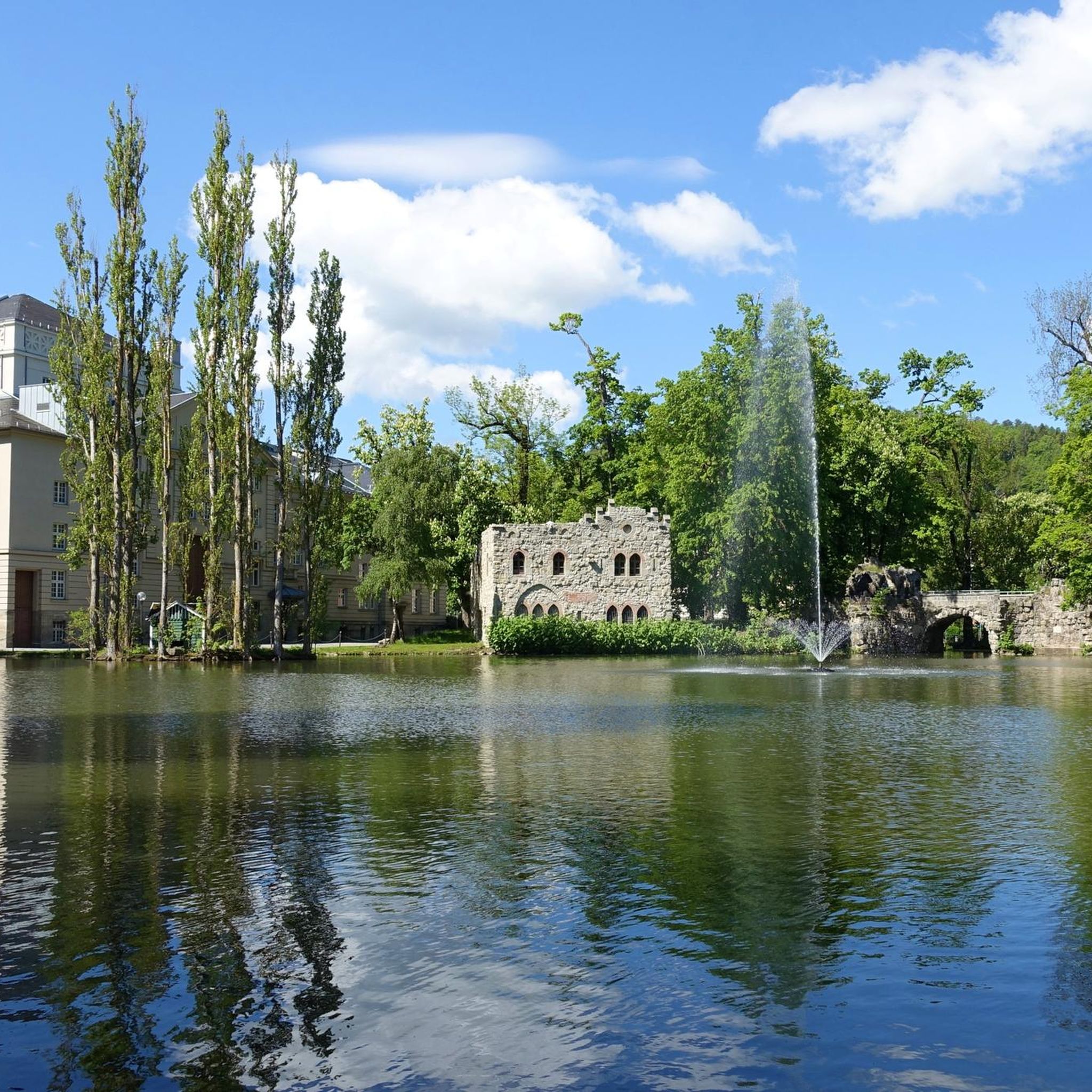
Family-friendly hikes in Riserva Naturale Lago Di Piano
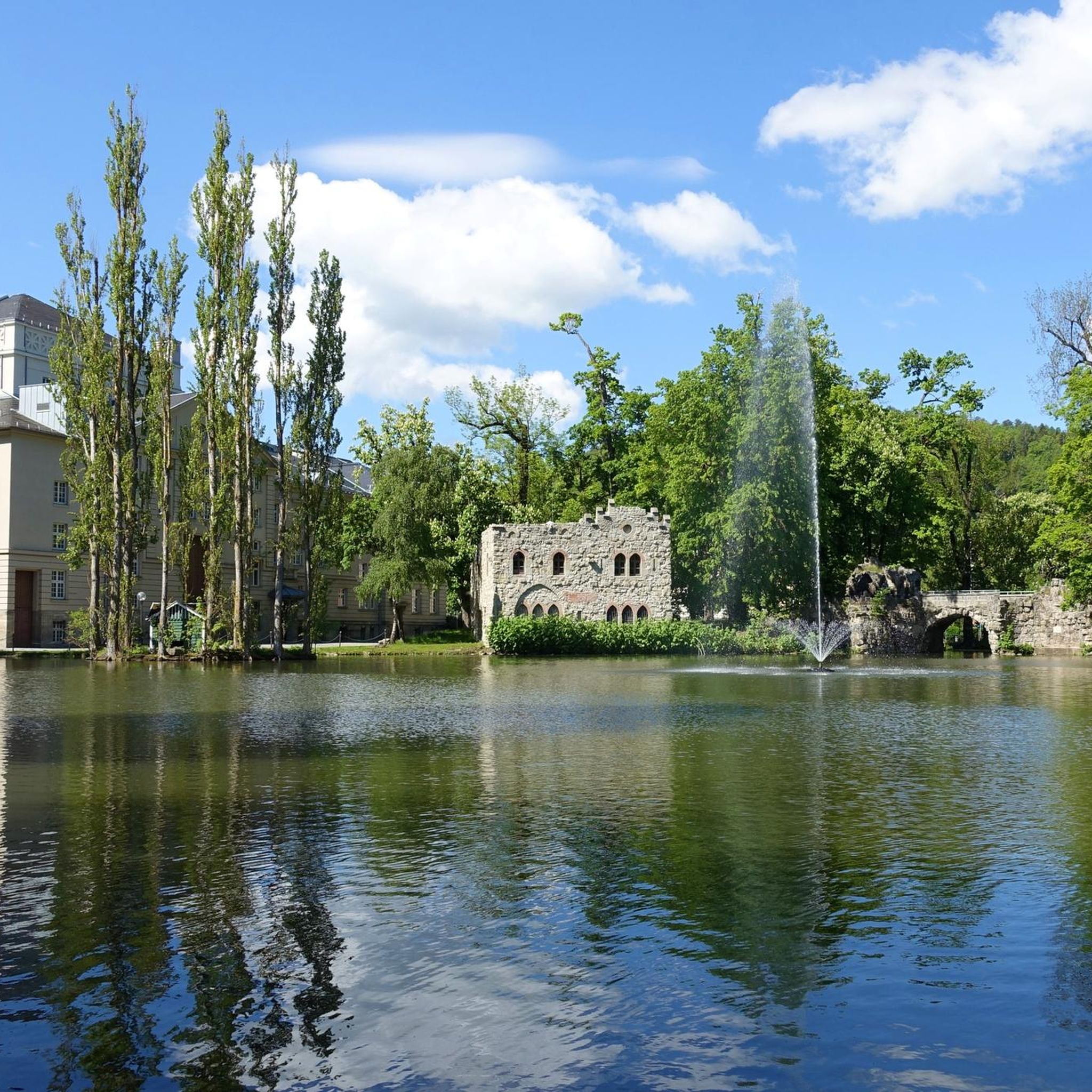
Family-friendly hikes around Lago di Piano
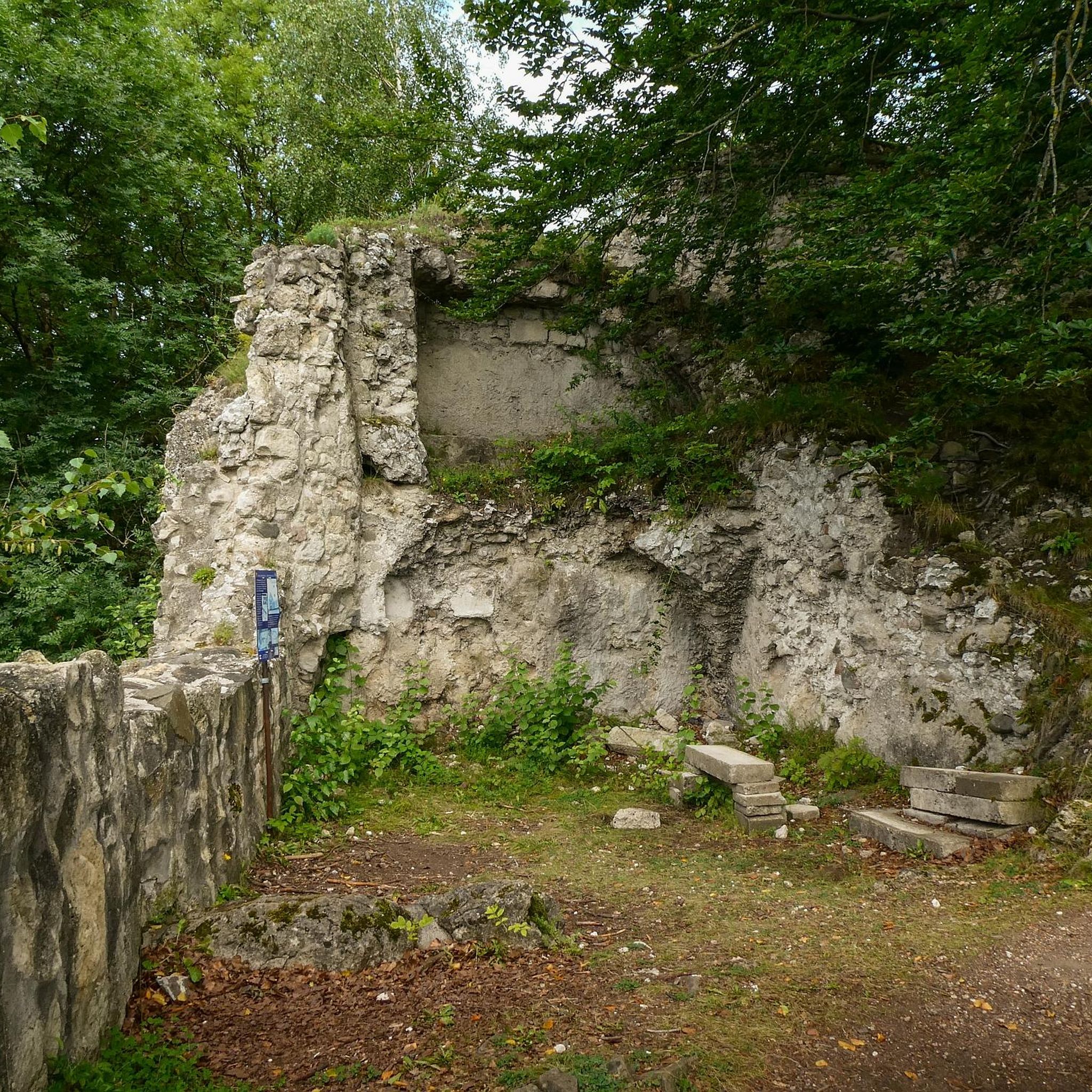
Family-friendly hikes in Riserva Naturale Valsolda

Family-friendly hikes around Lake Montorfano
Other adventures in Como


Tips from the Community

The gorge has been closed since 2023 due to a landslide. So passage forbidden! But of course possible at considerable risk. Everyone knows what they are doing, but the locals are already considerably negatively biased towards tourists encountered on the round.
0
0

View of the Alps and Prealps, Lake Como and Lake Lugano
0
0

It's about 40 minutes from the top of San Primo, and just below is a stable for animals. Beautiful views of Lake Como.
0
0

The ridge is tougher than the trail below due to the ups and downs, but if you are not in a hurry it is recommended because it is much more scenic.
1
0
Beautiful panoramic viewpoint. Easy climb, non-technical trail, suitable for beginners.
0
0


Wonderful hospitality, friendly atmosphere and delicious homemade food – Rifugio Venini is a perfect stop on the trail!
2
0
Frequently Asked Questions
How many family-friendly hiking trails are available in Como?
Como offers a wide variety of family-friendly hiking trails. You'll find over 1700 routes suitable for various skill levels, with more than 600 of these being easy and over 800 considered moderate, perfect for families looking for a pleasant day out.
What kind of terrain can we expect on family hikes around Como?
The terrain around Como is incredibly diverse, ranging from gentle lakeside paths to more undulating trails through forests and up to panoramic viewpoints. Many family-friendly routes feature well-maintained paths, often through charming villages, past historic villas, or along river valleys like the Val Senagra. Expect a mix of paved sections, gravel paths, and natural forest floors.
Are there any easy circular walks suitable for families in Como?
Yes, Como has several lovely circular walks perfect for families. For instance, the L'orrido Sanagra e le sue cascate – giro ad anello offers a moderate loop through the enchanting Sanagra Valley, featuring waterfalls. Another option is the Sentiero lo spirito del bosco – loop from Canzo, which provides a moderate forest experience.
What are some family-friendly trails with great views of Lake Como?
Many trails in Como offer stunning lake views. The Greenway del Lago di Como is a popular choice, providing continuous panoramic vistas as it connects charming lakeside villages. For elevated perspectives, consider routes that lead to viewpoints above towns like Brunate, often accessible via funicular for an added adventure. Walks to places like Madonna del Ghisallo Summit also offer expansive views.
Are there any stroller-friendly or toddler-suitable hikes in the Como region?
While many trails in Como involve natural terrain, you can find stroller-friendly options, particularly along the flatter sections of the Greenway del Lago di Como or within town parks. For toddlers, look for shorter, well-paved promenades along the lakefront in towns like Como, Bellagio, or Menaggio. Always check the route's surface and elevation profile on komoot for suitability before heading out.
Can we bring our dog on family hikes in Como?
Generally, dogs are welcome on most hiking trails in Como, provided they are kept on a leash and you clean up after them. It's always a good idea to check specific park regulations or trail signs, especially in protected natural areas like Spina Verde Park. Remember to bring enough water for your furry friend, especially on warmer days.
What kind of amenities can we find along family hiking paths, like cafes or picnic spots?
Many family-friendly trails in Como pass through or near charming villages, where you'll often find cafes, restaurants, and small shops to grab a snack or a meal. The Greenway del Lago di Como, for example, connects several towns with amenities. For picnic spots, look for designated areas in parks or scenic viewpoints along the trails. The Val Senagra area also offers tranquil spots for a break.
Is parking available near family-friendly trailheads in Como?
Parking availability varies by trailhead. In larger towns and popular starting points, you'll often find paid parking lots. For trails starting in smaller villages, street parking might be available, but it can be limited, especially during peak season. It's advisable to research parking options for your chosen route beforehand. Public transport is also a great alternative for accessing many trails.
How can we access hiking trails in Como using public transport?
Como's public transport network, including buses and ferries, provides good access to many trailheads, especially those along the lake. The funicular from Como to Brunate is a popular way to reach elevated starting points. Ferries connect many lakeside towns, allowing you to hike a section of a trail and return by boat. Planning your route with public transport in mind can offer a car-free and scenic experience.
What can we see or explore along the family-friendly hiking trails in Como?
Beyond the stunning lake and mountain views, family-friendly trails in Como often lead to fascinating points of interest. You might discover historic churches, charming lakeside villages, or natural wonders like the dramatic canyons and waterfalls of the Orrido di Bellano or Orrido di Nesso. Some routes pass by significant landmarks such as the Madonna del Ghisallo Sanctuary and Cycling Museum or offer glimpses of elegant villas and gardens.
What do other hikers enjoy most about family-friendly hiking in Como?
The komoot community highly rates the family-friendly hiking experiences in Como, with an average score of 4.45 stars. Reviewers often praise the breathtaking views of Lake Como, the variety of well-maintained paths suitable for all ages, and the opportunity to combine nature exploration with visits to charming villages and historic sites. The region's natural beauty and diverse landscapes are consistently highlighted as major draws.
Most popular routes in Como
Most popular attractions in Como

Get inspired with the komoot mobile app


Didn’t find what you were looking for?
Check out more Hikes throughout Como below and find the perfect route in your destination.
Explore more
Browse the best Hikes in other regions.
