The best traffic-free bike rides in Victoria
4.6
(351)
29,606
riders
135
rides
No traffic road cycling routes in Victoria traverse a diverse landscape, from dramatic coastlines to rugged mountain ranges and tranquil forests. The state features varied terrain, including the iconic Great Ocean Road, the challenging Victorian High Country, and numerous national parks. This geography provides a wide array of cycling experiences, from coastal rides to alpine climbs and routes through lush forests. The region's natural features offer varied elevation profiles and scenic backdrops for road cyclists.
Best no traffic road cycling…
Last updated: October 14, 2026
166
riders
76.4km
03:10
260m
260m
Moderate road ride. Good fitness required. Some segments of this route may be unpaved and difficult to ride.
92
riders
17.9km
00:46
80m
80m
Easy road ride. Great for any fitness level. Mostly well-paved surfaces and easy to ride.

5.0
(1)
78
riders
Easy road ride. Great for any fitness level. Mostly well-paved surfaces and easy to ride.
5.0
(3)
61
riders
Easy road ride. Great for any fitness level. Mostly well-paved surfaces and easy to ride.
53
riders
56.7km
02:35
630m
630m
Moderate road ride. Good fitness required. Mostly well-paved surfaces and easy to ride.
Get access to more routes and recommendations from other explorers.
Already have an account?
Our route recommendations are based on thousands of hikes, rides, and runs completed by other people on komoot.
Start today with a free account
Your next adventure awaits.
Popular around Victoria
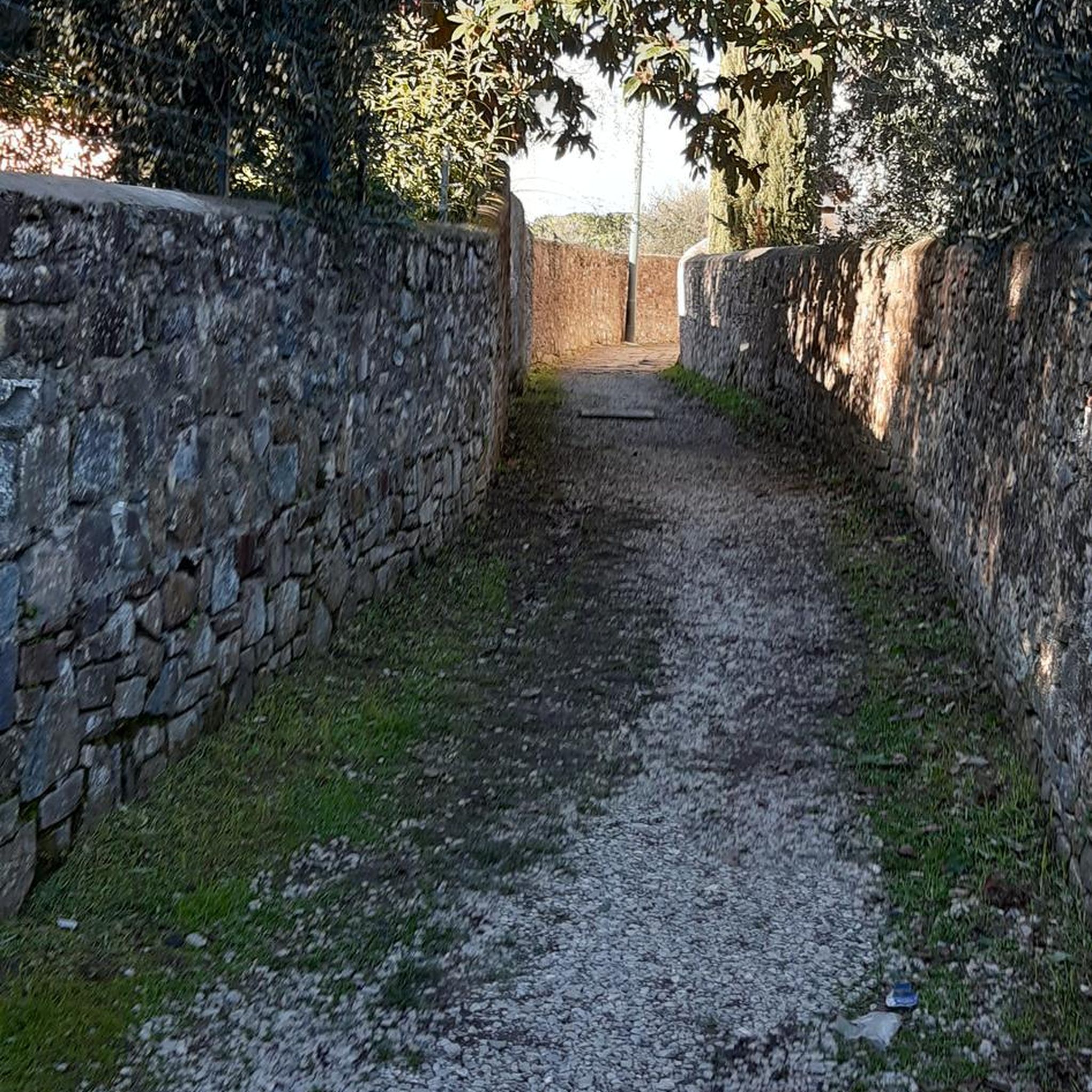
Traffic-free bike rides in the Snowy Mountains
Traffic-free bike rides in Bendigo Regional Park

Traffic-free bike rides in Belfast C.R. Coastal Reserve
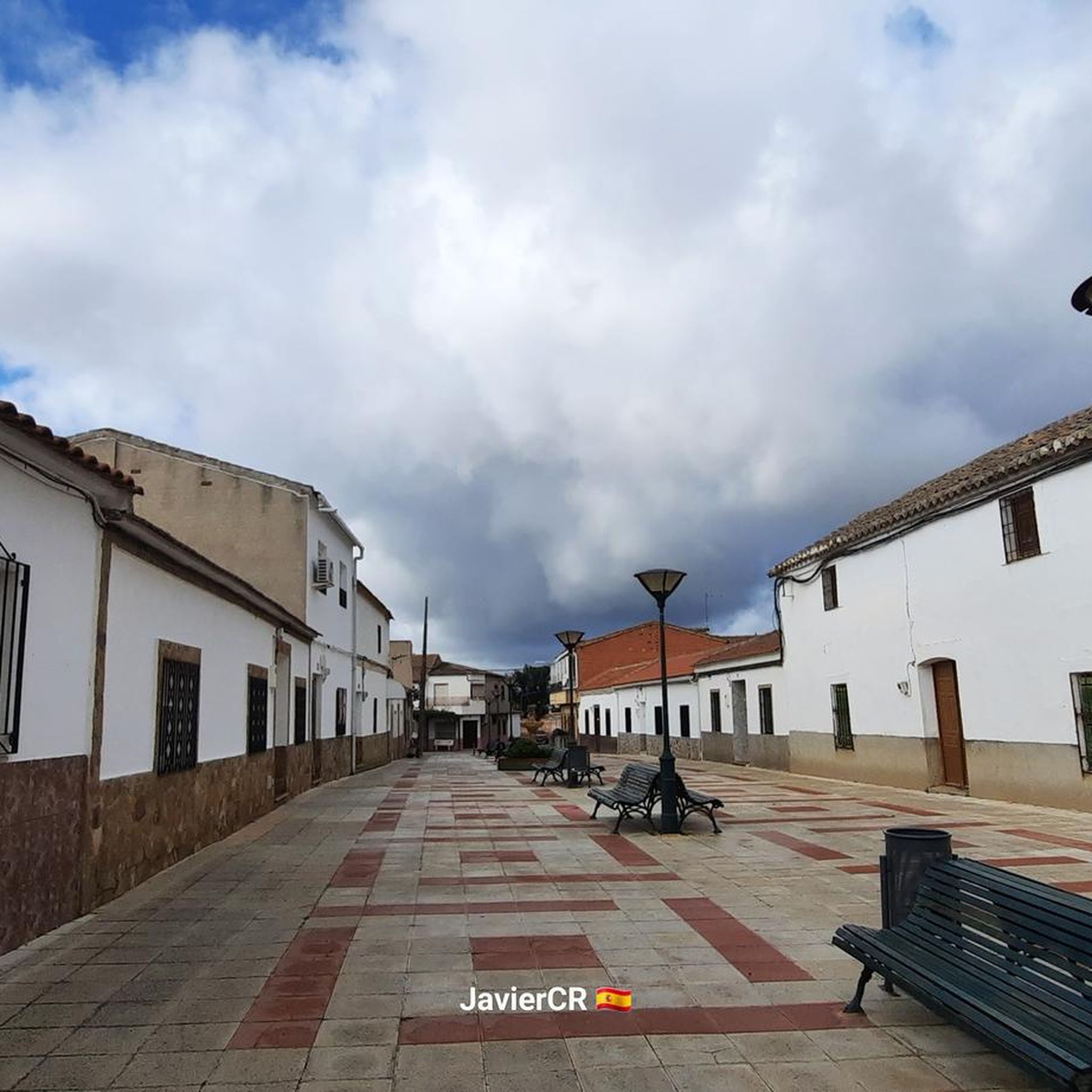
Traffic-free bike rides in Port Phillip Bay Coastal Reserve (Com)
Traffic-free bike rides in Greater Bendigo National Park

Traffic-free bike rides in Creswick Pine Plantation

Traffic-free bike rides in Creswick State Forest
Traffic-free bike rides in Point Cook Coastal Park
Traffic-free bike rides in Yarra Bend Park
Traffic-free bike rides in Nerrina Historic Area
Other adventures in Victoria

Tips from the Community

The Murray to Mountains Rail Trail is a network of more than 120 kilometres of sealed, off-road going through Victoria’s High Country, linking towns including Wangaratta, Beechworth, Myrtleford and Bright. This Bright to Porepunkah section is a much shorter 6.6-kilometre stretch, following the old railway corridor past trees, open countryside and Bright Golf Club, with Mount Buffalo becoming more prominent as you approach Porepunkah.
0
0
Riverside Park sits right on the Ovens River in the centre of Porepunkah, making it a great place to stop along the rail trail. There are picnic tables, barbecues, toilets, a playground and plenty of grass by the water, plus views towards Mount Buffalo. In the warmer months, the river is dammed to create a swimming area, with a separate shallow pool for younger children.
0
0

Altona Coastal Park is a 70-hectare stretch of intertidal flats and salt marsh, and is part of the Cheetham and Altona Important Bird Area. It sits on the old Williamstown Racecourse site, which ran from 1869 until 1940 before the area was transformed into a wartime army camp. There is a lone palm tree, remains of a grandstand, and a bronze sculpture named Requiem for a Champion here that still marks the site’s racing history, including its ties to Phar Lap. The Lower Kororoit Creek winds through that park on its way to Port Phillip Bay, and at low tide you can watch the seabed stretch out far from shore, with beautiful, open views across the water toward the Melbourne skyline.
0
0
This is a fantastic, long pedestrian and cycling bridge that carries the Hobsons Bay Coastal Trail across Laverton Creek, connecting Truganina Park with the Altona foreshore. As you cross high above the creek, there are beautiful views upstream to the wetlands and downstream toward Port Phillip Bay, with excellent opportunities to spot waterbirds in the surrounding marshes. The bridge also marks the junction of the Hobsons Bay Coastal Trail and Laverton Creek Trail, making it a key connection for walkers and cyclists exploring the coastline.
1
0
Hobsons Bay Coastal Trail is a 23-kilometre shared walking and cycling path that runs along the shores of Port Phillip Bay from West Gate Bridge to Skeleton Creek in Altona Meadows. It’s a mostly flat, well-signed route that passes several beaches, parks, wetlands, historic sites, and coastal villages, including Williamstown, Altona Beach and the Truganina Coastal Parklands. Whether tackling the full trail or a shorter section, it’s a great way to explore the area by bike or on foot.
1
0

Yellow Bluff gets its name from the yellow sandstone cliffs that have been eroded by the surf and wind along The Esplanade in Torquay. If you walk the cliffs and look closely, you may be able to find some "dogtooth" calcite crystal. Up the cliffs atop the bluff sits the Elephant Walk Park, with a children's playground, green lawns, public BBQs, and public toilets.
0
0
This stone pillar stands before a beautiful backdrop of Point Danger Marine Sanctuary. The plaques on the pillar commemorate those who died in the Korean, Malayan Emergency, and Vietnam Wars. There are a few benches here with great, unobstructed views out to sea, along with lots of parking and toilets on the west side of the parking area.
0
0
Barwon River flows through Victoria to meet the sea at Barwon Heads, forming a wide estuary that separates Ocean Grove from its neighbouring town. It’s calm, tidal waters are ideal for canoeing, boating, fishing, and paddleboarding, with plenty of shady spots along the foreshore. The river connects inland wetlands and Lake Connewarre to the coast, creating an important ecological waterway and a popular local recreation spot.
0
0
Frequently Asked Questions
How many no-traffic road cycling routes are available in Victoria?
Komoot offers over 150 no-traffic road cycling routes in Victoria, providing a wide range of options for cyclists looking to avoid busy roads. These routes are carefully curated to offer a serene and enjoyable experience.
Are there easy no-traffic road cycling routes suitable for beginners in Victoria?
Yes, Victoria offers plenty of easy no-traffic road cycling routes perfect for beginners or those seeking a relaxed ride. With over 70 easy routes available, you can find gentle terrain and shorter distances. A great example is the Black Rock Park – Red Bluff Lookout loop from Sandringham, which offers a pleasant ride with coastal views.
What kind of landscapes can I expect on these traffic-free road cycling routes in Victoria?
Victoria's diverse geography means you can experience a variety of landscapes. Our no-traffic routes take you through stunning coastlines, tranquil forests, and picturesque parklands. You might find yourself cycling along Port Phillip Bay, through lush Dandenong Ranges, or exploring areas with unique geological formations like those near the Organ Pipes National Park.
Are there any challenging no-traffic road cycling routes for experienced riders?
Absolutely. For experienced cyclists seeking a challenge, Victoria's High Country offers routes with significant elevation gains and rewarding vistas. While many routes aim for minimal traffic, some more remote mountain roads can provide a challenging, quieter experience. Consider a route like the Kennet River – View of the Undulating Hills loop from Birregurra, which features substantial climbing over its 147 km distance.
Can I find loop routes among the no-traffic road cycling options in Victoria?
Yes, many of the no-traffic road cycling routes in Victoria are designed as loops, allowing you to start and finish at the same point. This is convenient for parking and exploring. For instance, the Outlook Hill – Anderson Street Climb loop from South Yarra is a popular option that brings you back to your starting point.
What attractions or points of interest can I see along these routes?
Many routes pass by or are close to notable attractions. You might cycle near the Yarra Trail, offering scenic views, or discover natural features like Dights Falls. Some routes also offer glimpses of urban landmarks like Flinders Street Station or serene spots like the Royal Botanic Gardens Melbourne.
Are there any no-traffic road cycling routes that are particularly family-friendly?
For family-friendly options, look for routes marked as 'easy' with relatively flat terrain and shorter distances. Many urban greenways and dedicated bike paths, such as sections of the Capital City Trail or Yarra River Trail, offer car-free environments suitable for all ages. These often connect to parks and amenities.
What is the best time of year for traffic-free road cycling in Victoria?
Spring (September to November) and Autumn (March to May) generally offer the most pleasant conditions for road cycling in Victoria, with mild temperatures and less extreme weather. Summer can be hot, especially inland, while winter can bring cooler temperatures and rain, though coastal routes can still be enjoyable on clear days.
Are there any routes that offer opportunities for wildlife spotting?
Yes, cycling through Victoria's national parks and natural reserves can offer chances to spot local wildlife. Areas like Wilsons Promontory National Park or the Great Otway National Park, known for their diverse ecosystems, might provide glimpses of native birds, marsupials, or even platypus in places like Lake Elizabeth. Look for routes that traverse through these natural areas.
What do other road cyclists enjoy most about the no-traffic routes in Victoria?
The komoot community highly rates the no-traffic road cycling routes in Victoria, with an average score of 4.47 stars. Reviewers often praise the peacefulness of the routes, the stunning natural scenery, and the opportunity to explore diverse landscapes without the constant presence of vehicle traffic. The variety of routes, from coastal cruises to parkland loops, is also frequently highlighted.
Are there any no-traffic road cycling routes with cafes or refreshment stops nearby?
Many routes, especially those closer to urban areas or passing through charming towns, offer convenient access to cafes and refreshment stops. For example, routes along the Mornington Peninsula or through towns like Bright (in the High Country) are known for their cycling-friendly amenities. The Bridge in the nature reserve – Top ice cream shop loop from West Footscray even highlights a specific ice cream shop, perfect for a mid-ride treat.
How can I find parking for these quiet road cycling trails in Victoria?
Most komoot routes provide information on suitable starting points, which often include details about nearby parking. For routes starting in or near towns, public parking lots are usually available. For routes in national parks or more rural areas, designated car parks are typically provided at trailheads or popular access points. Always check the route details on komoot for specific parking recommendations.
Most popular routes in Victoria
Most popular attractions in Victoria

Get inspired with the komoot mobile app


Didn’t find what you were looking for?
Check out more Road cycling routes throughout Victoria below and find the perfect route in your destination.
Explore more
Browse the best Road cycling routes in other regions.
