The best hikes from bus stations in Wiltz Canton
4.5
(4041)
16,248
hikers
184
hikes
Hiking in Wiltz Canton offers a diverse landscape characterized by rolling hills, dense forests, and the meandering Sûre River valley. The region, part of the Luxembourg Ardennes, features varied terrain with elevations that provide expansive views. Trails often traverse through natural features such as broom heathlands, oak-hornbeam forests, and sunny rock slopes. This area provides an extensive network of routes suitable for exploring the natural environment.
Best bus station hiking trails in Wiltz Canton
- The most popular bus station hiking…
Last updated: July 11, 2026
4.7
(277)
1,020
hikers
16.8km
04:59
500m
500m
Moderate hike. Good fitness required. Easily-accessible paths. Suitable for all skill levels.
4.8
(138)
557
hikers
14.5km
04:28
500m
500m
Moderate hike. Good fitness required. Mostly accessible paths. Sure-footedness required.

Sign up for free
4.8
(76)
370
hikers
27.6km
07:59
690m
700m
Hard hike. Very good fitness required. Easily-accessible paths. Suitable for all skill levels.
4.6
(98)
353
hikers
13.5km
03:52
330m
330m
Moderate hike. Good fitness required. Easily-accessible paths. Suitable for all skill levels.
4.7
(120)
371
hikers
10.3km
02:58
250m
250m
Moderate hike. Good fitness required. Easily-accessible paths. Suitable for all skill levels.
Get access to more routes and recommendations from other explorers.
Sign up for free
Already have an account?
Our route recommendations are based on thousands of hikes, rides, and runs completed by other people on komoot.
Start today with a free account
Your next adventure awaits.
Login or Signup
Popular around Wiltz Canton

Hikes from bus stations around Lac de la Haute-Sûre
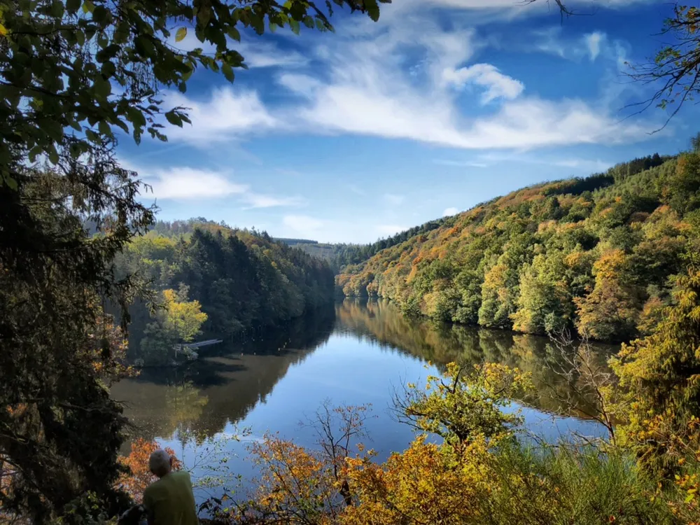
Deep valleys and mysterious forests - L'Escapardenne
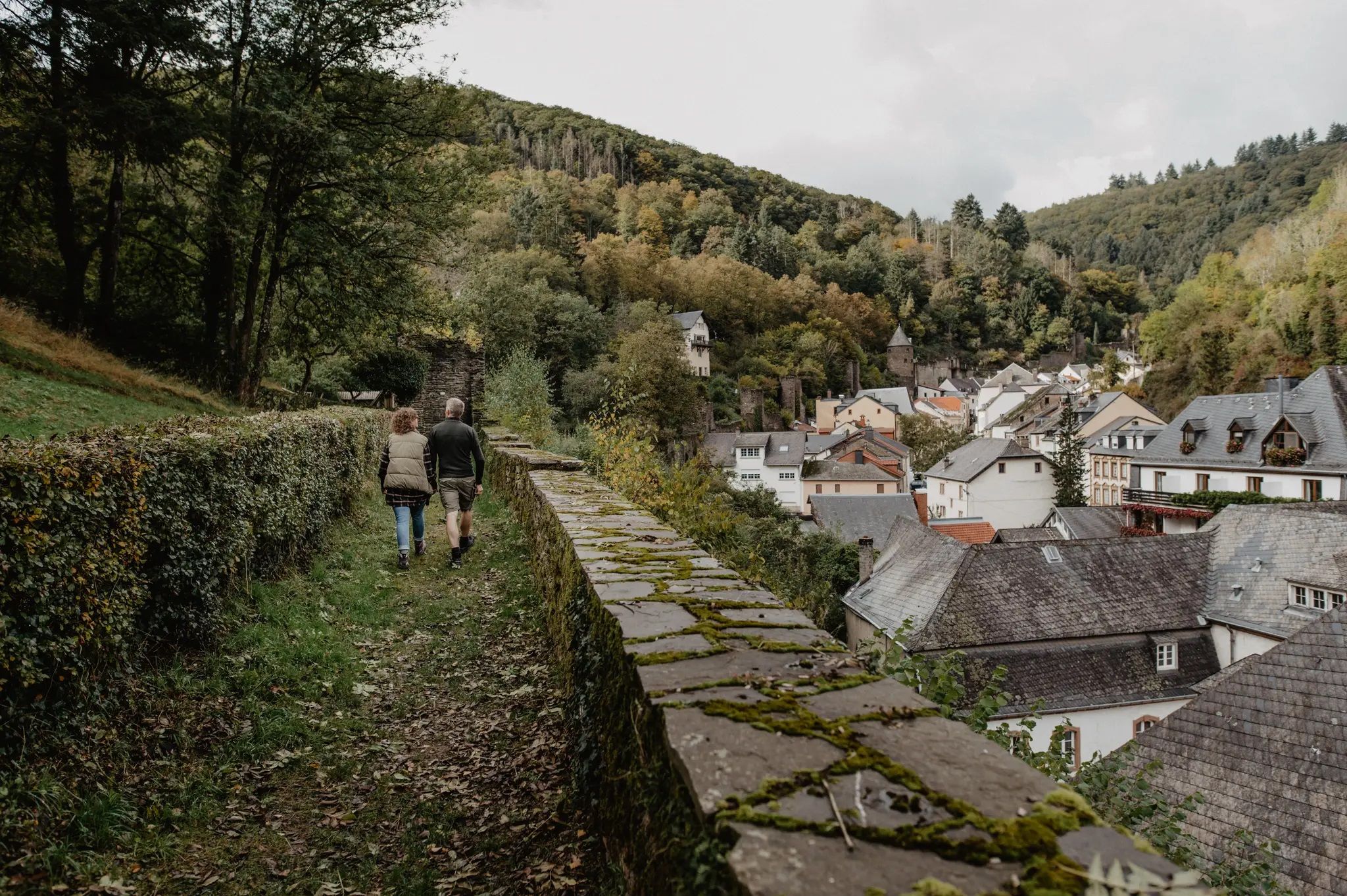
Enjoy the silence – autumn and winter hiking in Luxembourg
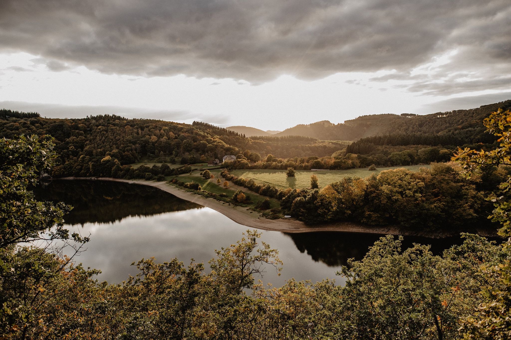
Éislek Wanderlust – The most beautiful hiking trails in the north of Luxembourg
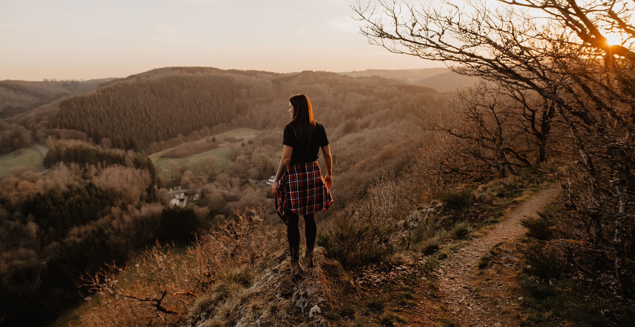
Éislek Pied - 18 top hiking trails in the north of Luxembourg

8 days of borderless hiking in the Ardennes – the Lee & Éislek Trail
Other adventures in Wiltz Canton


Tips from the Community

The two viewpoints, Hoflee and Hockslee, offer a beautiful, spectacular panoramic view over the landscape. The ascent path to Hoflee is relatively steep and has a slight alpine character in places.
0
0

Floating pedestrian bridge, connecting to several hiking trails The bridge is held stable by floats and wire ropes on dry land and in the water. Should the water level rise, the central section sinks.
0
0

Cozy dam in the morning, a few motorcyclists on the road, a small parking lot next to it, a good starting point for a walk.
1
0

On this small, narrow, idyllic path, you can sit on the bench and relax and enjoy the view.
0
0

Very nice hike. Good shoes recommended.
0
0

Nice to linger there for a while.
1
0
Esch-sur-Sûre has a beautiful castle ruin.
1
0
Frequently Asked Questions
How many bus station hiking trails are available in Wiltz Canton?
There are nearly 200 hiking routes in Wiltz Canton that are accessible from bus stations. These include 70 easy, 99 moderate, and 19 difficult trails, offering a wide range of options for all skill levels.
What kind of landscapes can I expect on bus-accessible hikes in Wiltz Canton?
Wiltz Canton, part of the Oesling region and the Luxembourg Ardennes, features picturesque rolling hills, dense forests, and meandering rivers. Many trails follow the Sûre River valley, offering tranquil views. You'll encounter diverse ecosystems, from broom heathlands to oak-hornbeam forests and sunny rock slopes.
Are there any circular hiking routes accessible by bus in Wiltz Canton?
Yes, many routes in Wiltz Canton are designed as circular loops, making them convenient for bus travelers. For example, the Viewpoint Over the Dam – Esch-sur-Sûre Dam loop from Kaundorf is a moderate 10.6 km circular hike offering great views.
What are some notable natural features or viewpoints along bus-accessible trails?
The region is rich in natural beauty. You can find stunning viewpoints overlooking the Upper Sûre Lake, particularly along sections of the Circuit du Lac. The Ardennes region itself offers magnificent views from elevated villages like Nocher. The Circuit du Lac (eastern part) and Circuit du Lac (western part) offer extensive views of the lake and surrounding forests.
Are there any historical landmarks or villages to explore near the bus station trails?
Absolutely. The canton is home to charming villages and historical sites. You can visit the medieval Esch-sur-Sûre village with its impressive castle ruins. Wiltz Castle in the town of Wiltz is another significant historical attraction. Many trails pass through or near these points of interest.
What do other hikers enjoy most about hiking in Wiltz Canton?
The area is highly rated by the komoot community, with an average score of 4.5 stars from over 3,600 ratings. Reviewers often praise the tranquil atmosphere, the diverse natural landscapes, and the well-maintained trails that offer a mix of forest paths, river views, and charming villages.
Are there any longer, more challenging bus-accessible hikes for experienced hikers?
Yes, for those seeking a challenge, there are difficult routes available. The Circuit du Lac (western part) is a difficult 27.4 km hike with significant elevation changes, offering an extensive exploration of the region's natural beauty.
Can I find trails that showcase the unique natural diversity of the region?
Yes, the region is known for its diverse ecosystems. While not directly listed in the provided routes, the Via Botanica trail (mentioned in region research) is a prime example, showcasing broom heathlands, oak-hornbeam forests, and sunny rock slopes. Many bus-accessible trails will traverse similar varied terrain.
Are there any specific trails that offer views of the Sûre River?
Many trails in Wiltz Canton follow or offer views of the Sûre River and its valley. The Éislek Pad Kautenbach and Éislek Pad Tadler are examples of routes that explore the heart of the Luxembourg Ardennes, often featuring river valleys and dense forests.
What is the best time of year to go hiking from bus stations in Wiltz Canton?
The moderate climate of Wiltz Canton, with mild summers and cool winters, makes spring and summer ideal for hiking. The region is green and fertile during these seasons, offering pleasant conditions for exploring the trails.
Are there any easy or moderate routes suitable for a half-day hike?
Yes, there are numerous easy and moderate routes perfect for shorter excursions. The Viewpoint Over the Dam – Esch-sur-Sûre Dam loop from Kaundorf is a moderate 10.6 km hike that can be completed in about 3 hours, making it a great half-day option.
Most popular routes in Wiltz Canton
Most popular attractions in Wiltz Canton

Get inspired with the komoot mobile app


Didn’t find what you were looking for?
Check out more Hikes throughout Wiltz Canton below and find the perfect route in your destination.
Explore more
Browse the best Hikes in other regions.
