The best traffic-free bike rides in England
4.5
(7527)
51,070
riders
2,977
rides
No traffic gravel bike trails in England traverse a diverse landscape, from the rolling hills of the South Downs to the rugged uplands of the Peak District and the dense woodlands of Kielder Forest. The country offers an extensive network of bridleways and cycle routes, many of which are traffic-free, providing varied terrain for gravel biking. These paths often follow ancient routes, disused railway lines, or forest roads, ensuring a quiet and immersive outdoor experience. The varied geology includes chalk landscapes, gritstone edges, and forest tracks, suitable for different levels of gravel biking.
Best no traffic gravel bike trails in England
- The most popular no traffic gravel bike trail is Ladybower Reservoir loop from Bamford — Peak District National Park, a 26.3 miles (42.3 km) trail that takes 3 hours 25 minutes to complete. This route offers scenic views around the reservoir and through the varied terrain of the Peak District.
- Another top favourite among local gravel bikers is Monsal and High Peak trails gravel loop, a difficult 42.4 miles (68.3 km) path. This trail follows historic railway lines, providing traffic-free riding with picturesque views across the Derbyshire countryside.
- Local gravel bikers also love the Kielder Water loop from Kielder Castle — Kielder Forest, a 23.5 miles (37.8 km) trail leading through Kielder Forest, often completed in about 3 hours 25 minutes. This route explores the extensive forest roads and tracks around Kielder Water.
- Gravel biking in England is defined by rolling hills, ancient woodlands, and extensive forest tracks, with many routes utilizing former railway lines and bridleways. The network offers options for different ability levels, from easy family-friendly paths to more challenging long-distance routes.
- The routes in England are highly rated by the komoot community with an average score of 4.5 stars from more than 5000 reviews. More than 44000 gravel bikers have used komoot to explore England's varied terrain.
Last updated: October 12, 2026
4.9
(41)
409
riders
68.3km
05:40
670m
670m
Prepare for a difficult gravel biking adventure on the 42.4-mile (68.3 km) Monsal and High Peak trails loop, a route that typically takes around 5 hours and 39 minutes to complete. You will encounter a total elevation gain of 2186 feet (666 metres) as you traverse the picturesque Peak District. Ride through spectacular limestone dales, passing over the iconic Headstone Viaduct and through several atmospheric, lit railway tunnels on the Monsal Trail. The High Peak Trail offers expansive panoramic views across the countryside, showcasing stunning limestone landscapes and remnants of industrial heritage. The primary surface is crushed limestone, providing a generally firm ride, though some connecting sections can be rougher.
While much of the route is traffic-free and built on former railway lines, be aware that the High Peak Trail includes notable steep inclines, such as a 1 in 8 gradient at Middleton Top and a 1 in 9 section near Cromford High Peak Junction. These sections may require you to push your bike. Connecting routes can also introduce more challenging elements, including significant elevation gain and rougher surfaces. Mudguards are advisable, especially after heavy rain, as sections of the High Peak Trail can develop puddles. Cycle hire facilities are available at various points, including Parsley Hay and Hassop Station.
This loop stands out for its unique blend of natural beauty and industrial history, utilizing the trackbeds of historic railway lines. You will pass through old tunnels, over impressive viaducts, and alongside remnants of old stations, like the Middleton Top Engine House. The route is also a significant component of the larger 42-mile White Peak Loop Trail, which combines traffic-free paths with quiet lanes and bridleways. This offers a diverse gravel biking experience, from leisurely sections to more demanding excursions, making it an excellent introduction to gravel riding in the area.
4.8
(69)
555
riders
42.3km
03:25
480m
480m
Embark on a challenging gravel biking adventure around the Ladybower Reservoir loop from Bamford, a difficult 26.3 miles (42.3 km) route that takes about 3 hours and 25 minutes to complete. This diverse trail offers panoramic views of Ladybower, Derwent, and Howden reservoirs, set against the backdrop of rolling hills and open moorland. You will navigate a mix of paved surfaces, gravel tracks, and potentially muddy sections, with a total elevation gain of 1582 feet (482 metres) as you pass iconic sights like the Ladybower "plug holes" and the historic Derwent Dam.
This route is well-suited for gravel bikes or mountain bikes, offering a mix of traffic-free sections like the Thornhill Trail and minor roads. The trail conveniently starts and finishes at Bamford Railway Station, making it easy to access via public transport. Be prepared for significant elevation changes and challenging climbs, such as Hagg Farm and New Road at Yorkshire Bridge, which may require very good fitness. Some sections can be rocky and uneven, so plan your visit accordingly, especially after rain.
Beyond the stunning scenery, this loop offers a unique historical dimension; the Derwent Dam and surrounding reservoirs served as a crucial training ground for the 617 "Dambusters" Squadron during World War 2. As you ride, you will follow parts of the Thornhill Trail, a former railway line once used to transport stone for the dams, now offering unexpected scenic treats and wildlife sculptures. This trail provides a varied experience, catering to experienced gravel bikers looking for a substantial challenge in the Peak District National Park.

4.6
(59)
296
riders
39.8km
03:22
270m
270m
Moderate gravel ride. Good fitness required. Mostly paved surfaces. Suitable for all skill levels.
4.7
(52)
389
riders
55.2km
04:50
780m
780m
Embark on the Shatton Moor & Ladybower Reservoir loop from Hathersage, a difficult gravel biking adventure spanning 34.3 miles (55.2 km). This challenging route will have you gaining 2564 feet (781 metres) in elevation, typically taking around 4 hours and 49 minutes to complete. As you ride, you will experience a mix of paved surfaces and significant off-road sections, including demanding gravel climbs, all while enjoying the diverse terrain and expansive Peak District vistas. From the Shatton Track, you can take in fantastic views over the Hope Valley and across to Derwent Reservoir, offering a true sense of the region's natural beauty. The areas around Ladybower Reservoir also provide dramatic moorland, woodland, and water views, making for a varied and engaging ride. This loop is best suited for experienced gravel cyclists with a very good level of fitness, ready for a demanding day out.
Planning your visit requires you to be prepared for a hard gravel ride, demanding advanced riding skills due to its length, elevation gain, and varied terrain. You should anticipate some very rough sections where you might need to dismount and push your bike, adding to the challenge. The Thornhill Trail, which forms part of this route, can become quite muddy when wet, so it is wise to consider the weather conditions before you set off. Checking the forecast and preparing your gear accordingly will help ensure a more enjoyable and safer experience on the trail.
This route stands out for its combination of challenging climbs and rewarding scenery within the Peak District National Park. It offers a unique opportunity to explore both the open moorland and the iconic reservoir landscapes that define this area. The trail's diverse character, moving from paved roads to rugged off-road paths, provides a comprehensive gravel biking experience. It is a journey that showcases the dramatic natural environment, from the sweeping views over Hope Valley to the tranquil waters of Ladybower Reservoir, making it a notable option for those seeking a substantial and varied ride in the region.
4.7
(47)
499
riders
37.8km
03:25
420m
420m
Embark on the Kielder Water loop from Kielder Castle for a moderate gravel biking experience around Northern Europe's largest man-made lake. This 23.5-mile (37.8 km) route takes you through England's largest forest, offering diverse terrain and expansive views of Kielder Water. You will cycle on well-graded forest roads, mostly paved surfaces, and compacted stone dust, with some sections being steep and winding. The trail features a total elevation gain of 1365 feet (416 metres) and typically takes about 3 hours and 25 minutes to complete. As you ride, you will pass the majestic Victorian Kielder Viaduct, a historic structure with seven skewed stone arches, and enjoy views of dense woodlands and open moorland. Some hills along the Lakeside Way may be challenging, requiring good fitness for this moderate ride. You can expect to see unique art installations integrated into the landscape. This route is part of the extensive Kielder Forest trail network. The Kielder Water Cycle Path offers beautiful views of the reservoir through the trees, especially on clear days.
Kielder Castle serves as a convenient starting point and gateway to the trails. Here, you can find visitor information and bike hire services if needed. The trail is generally suitable for various users, including cyclists, walkers, and horse riders, particularly the well-maintained multi-user trail on the southern shore. While the route is mostly smooth, be aware that during periods of forestry work, the gravel may be deep in places. This loop is accessible throughout the year, but checking local conditions before your visit is always a good idea.
The Kielder Water loop is notable for encircling Kielder Water, the largest man-made lake in Northern Europe, via the popular Lakeside Way. This 26-mile (42 km) multi-user trail provides access to picturesque spots and abundant wildlife. The area is known for its remote and wild character, offering an escape into nature with vast forests and open moorland. Keep an eye out for local wildlife, including red squirrels and ospreys, as you traverse the diverse landscape. The trail is also dotted with intriguing structures and installations that are part of the internationally acclaimed Kielder Art & Architecture program, adding a unique cultural dimension to your ride.
Get access to more routes and recommendations from other explorers.
Already have an account?
Our route recommendations are based on thousands of hikes, rides, and runs completed by other people on komoot.
Start today with a free account
Your next adventure awaits.
Popular around England
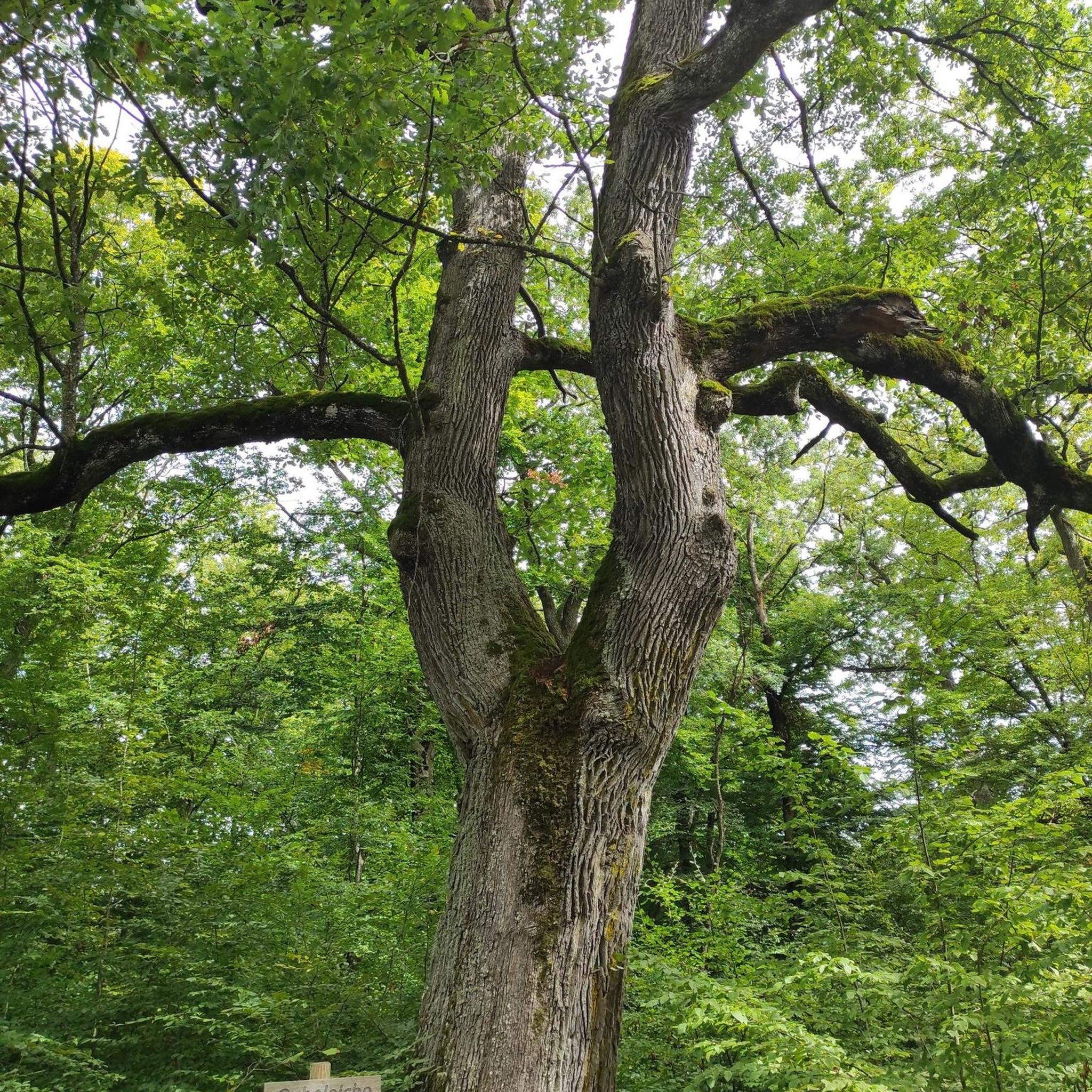
Traffic-free bike rides in the East Midlands
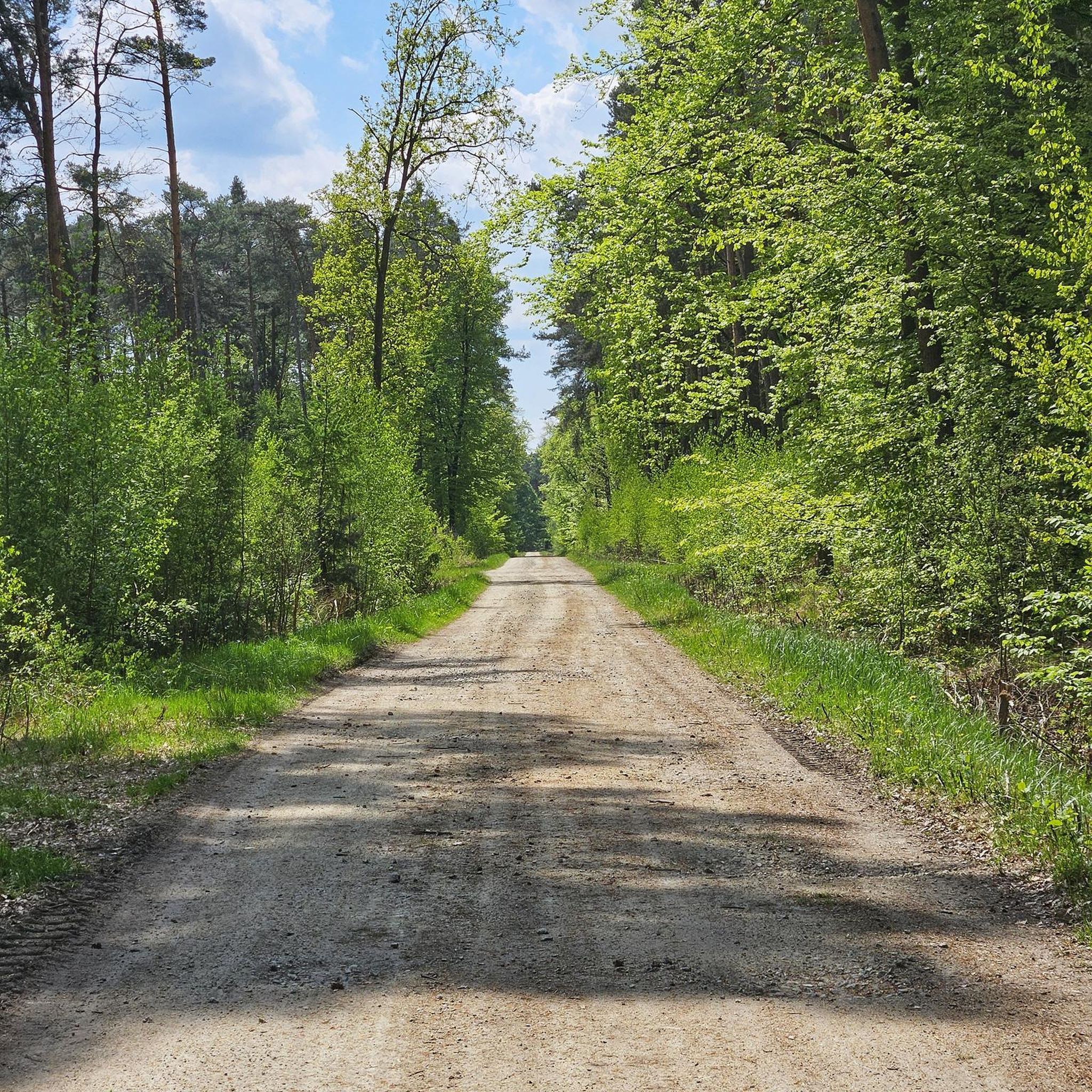
Traffic-free bike rides in South East England

Traffic-free bike rides in South West England
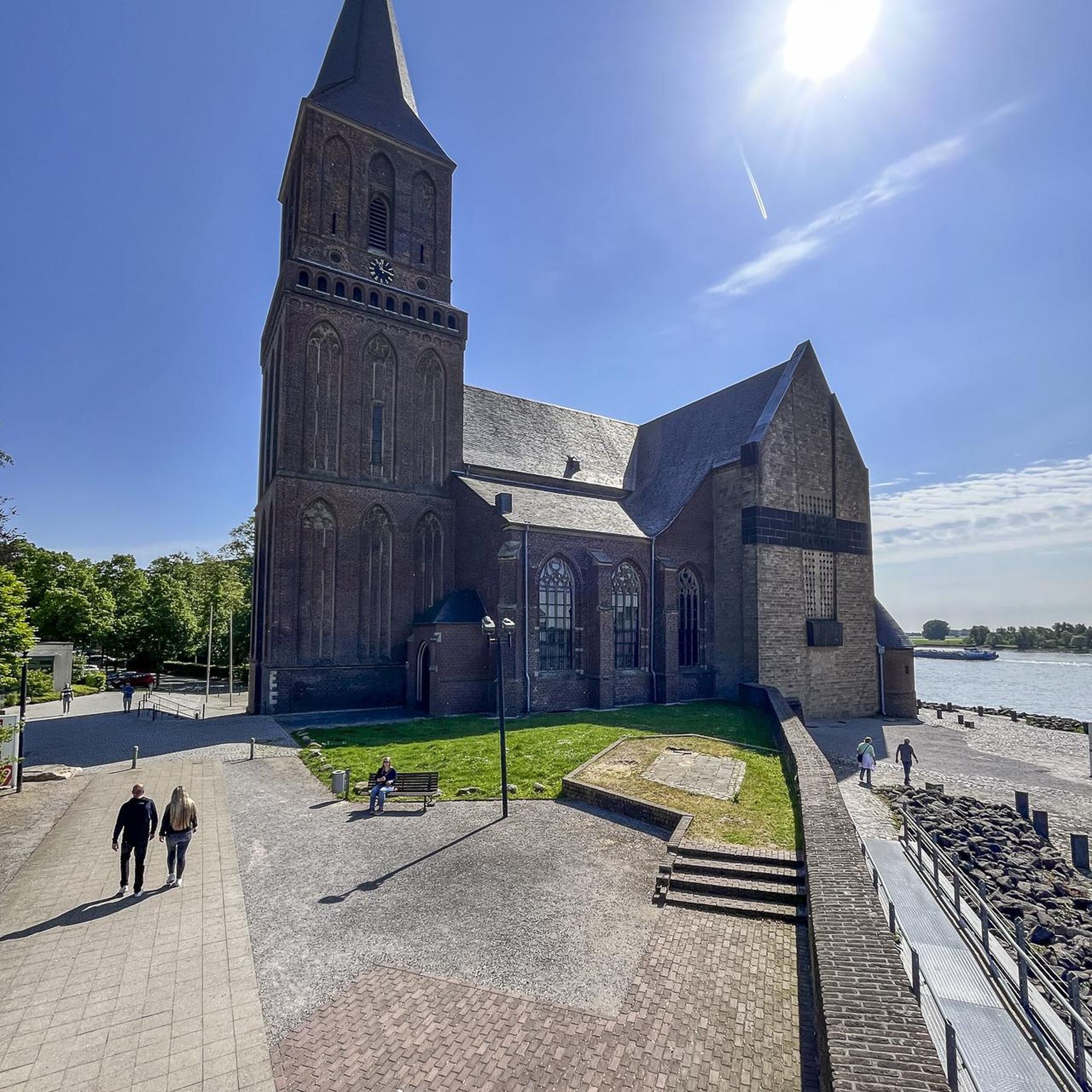
Traffic-free bike rides in Yorkshire And The Humber

Traffic-free bike rides in North West England
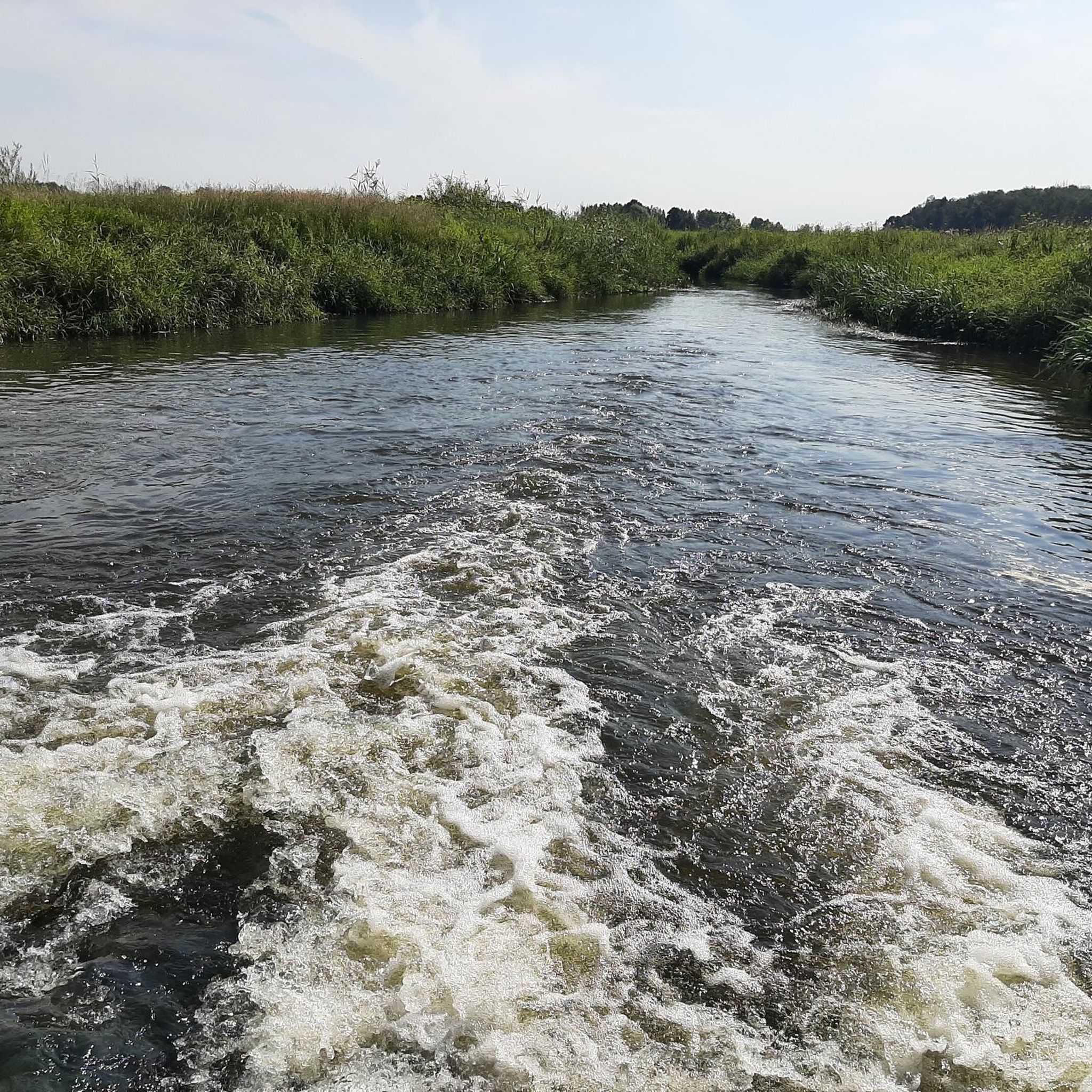
Traffic-free bike rides in Greater London

Traffic-free bike rides in North East England

Traffic-free bike rides in the East Of England
Traffic-free bike rides in the West Midlands Region

Traffic-free bike rides in Jurassic Coast
Other adventures in England


Tips from the Community

Check shop opening times
0
0

Although challenging, totally doable on a bike with some decent gear ratio.
0
0

Easy hike around Ladybower Reservoir
0
0
Nice area in summer for chilling next to the river
0
0

Incredible engineering from the past when railway wagons were winched up and down the inclines.
0
0

Here you can once again take picturesque shots. The trail meanders along the beautiful beach.
12
0

Kielder Castle is a charming 18th-century hunting lodge in Northumberland, built in 1775 for the Duke of Northumberland. Today, it serves as a vibrant visitor center and the starting point for numerous walking and cycling routes, including the famous Lakeside Way. Although the castle is currently undergoing renovations, the information center remains open and the surrounding facilities are accessible. It's an ideal base for exploring England's largest forest. It houses the Kielder Visitor Center and the Cafe at the Castle.
11
0
Frequently Asked Questions
How many no-traffic gravel bike trails are available in England?
Komoot offers over 3000 routes for traffic-free cycling in England, with more than 500 specifically rated as easy. These trails range from gentle paths suitable for beginners and families to more challenging routes for experienced gravel riders, all designed to keep you away from vehicle traffic.
Which regions in England are best known for their traffic-free gravel biking opportunities?
England boasts several fantastic regions for traffic-free gravel biking. The Peak District is a hotspot with routes like the Monsal, Tissington, and High Peak Trails. Kielder Forest in Northumberland is renowned for its extensive network of unpaved forest paths. The New Forest offers quiet paths through woodlands, and the South Downs National Park features the iconic South Downs Way, a long-distance gravel route. The North York Moors also provides new Gravel Explorer routes.
Are there any long-distance, quiet gravel cycling routes in England?
Yes, England offers several excellent long-distance options. The 160-kilometer South Downs Way in the South Downs National Park is a celebrated route with chalky paths and ridge-top views. Another notable option is the Peddars Way in Norfolk, an old Roman road stretching from Hunstanton to Thetford Forest, recognized as a great bikepacking route. The King Alfred's Way is also a popular choice for extended gravel adventures.
What are some family-friendly, traffic-free gravel bike trails in England?
For families, the New Forest is an excellent choice with its quiet paths and beautiful woodlands. The 12-mile Swale Trail in the Yorkshire Dales is also family-friendly. Many disused railway lines, such as sections of the Monsal Trail in the Peak District, offer flat, traffic-free surfaces perfect for all ages. The Derwent Dams area in the Peak District also provides a scenic 40km gravel route suitable for families.
Can I find challenging no-traffic gravel routes in England?
Absolutely. For those seeking a challenge, the high Peak and White Peak areas of the Peak District offer more demanding gravel routes, including sections of the Pennine Bridleway and the Limestone Way. The South Downs Way also features steep climbs. In the North York Moors, routes like the Hambleton Horizons loop mix fast moorland gravel with challenging climbs. For a taste of this, consider the Shatton Moor & Ladybower Reservoir loop from Hathersage.
Are there any circular no-traffic gravel bike routes available?
Yes, many regions offer fantastic circular routes. In the Peak District, the Ladybower Reservoir loop from Bamford is a popular choice. Kielder Forest features the Kielder Water loop from Kielder Castle. The New Forest has options like the Three village circular. These routes allow you to start and finish in the same location without retracing your steps.
What kind of natural attractions can I expect to see along these routes?
England's gravel trails often pass through stunning natural landscapes. You might encounter dramatic mountains and serene lakes in the Lake District, limestone outcrops and dry stone walls in the Yorkshire Dales, or rolling countryside and sea views in the South Downs. Some routes might even lead you past unique geological features like Lud's Church or Thor's Cave, offering a chance to explore caves and gorges.
What is the best time of year to go gravel biking in England?
The best time to gravel bike in England is generally from late spring to early autumn (May to September) when the weather is milder and drier. However, many routes, especially those in forests like the New Forest or Kielder, can be enjoyable even in colder, wetter conditions, offering a different kind of adventure. Always check local weather forecasts before heading out.
Are there any specific traffic-free trails in the Peak District that are highly recommended?
The Peak District is excellent for traffic-free gravel. The Monsal Trail, Tissington Trail, and High Peak Trail, which follow old railway lines, are particularly popular for their smooth surfaces and scenic views. For a combined experience, consider the Monsal and High Peak trails gravel loop, offering a longer adventure through the heart of the national park.
What do other gravel bikers enjoy most about the no-traffic routes in England?
The komoot community highly rates the traffic-free gravel routes in England, with an average score of 4.5 stars. Reviewers often praise the stunning natural beauty, the peace and quiet away from roads, and the variety of terrain that caters to all skill levels. The well-maintained paths and the opportunity to explore diverse landscapes, from ancient woodlands to dramatic coastlines, are frequently highlighted as major draws.
Are there any specific regulations or permits needed for gravel biking on off-road trails in England?
Generally, most public bridleways and byways in England are open to cyclists without a permit. However, some specific areas, especially within National Parks or private estates, might have local regulations or require permits for certain trails. It's always advisable to check the local authority or park website for the specific area you plan to ride in, especially for designated mountain bike trails or sensitive ecological zones.
Can I find gravel bike trails in England that are accessible by public transport?
Many popular gravel routes in England are accessible via public transport, particularly those in National Parks like the Peak District or South Downs. Routes that follow disused railway lines often have trailheads near former stations, which can be served by buses or trains. Planning your route with public transport in mind can enhance your car-free experience, allowing you to start and finish at different points.
Most popular routes in England
Most popular attractions in England

Get inspired with the komoot mobile app


Didn’t find what you were looking for?
Check out more Gravel rides throughout England below and find the perfect route in your destination.
Explore more
Browse the best Gravel rides in other regions.
