The best hikes from bus stations in Minnesota
4.6
(654)
13,179
hikers
203
hikes
Bus station hiking trails in Minnesota offer access to a diverse range of landscapes, from the extensive shores of Lake Superior to dense forests and river valleys. The region is characterized by its numerous lakes, bluffs overlooking the Mississippi River, and varied terrains shaped by glaciers. Hikers can explore a network of trails that traverse hardwood forests, prairies, and urban greenways, providing varied experiences across the state.
Best bus station hiking trails in Minnesota
- The most popular bus station hiking route is West Mississippi River Regional Trail, a 8.0 miles (12.8 km) trail that takes 3 hours 15 minutes to complete. This moderate route follows the Mississippi River, offering scenic views.
- Another top favourite among local hikers is Shadow Falls Loop, an easy 2.0 miles (3.3 km) path. This loop trail features natural falls and river views within an urban park setting.
- Local hikers also love the Cedar Lake LRT Regional Trail, a 4.8 miles (7.8 km) trail leading through a regional greenway, often completed in about 1 hour 58 minutes.
- Hiking in Minnesota is defined by diverse forests, river valleys, and Lake Superior shores. The extensive trail network offers options for various ability levels, from easy urban loops to more challenging wilderness paths.
- The routes in Minnesota are highly rated by the komoot community with an average score of 4.7 stars from over 500 reviews. More than 11,000 hikers have used komoot to explore Minnesota's varied terrain.
Last updated: November 8, 2026
2
hikers
3.26km
00:53
50m
60m
If you're looking for a quick, engaging hike with a unique payoff, the Shadow Falls Loop in St. Paul is a great choice. This easy 2.0-mile (3.3 km) route, which you can complete in about 53 minutes with only 152 feet (46 metres) of elevation gain, offers a surprising mix of terrain and scenery. You'll wander through serene, tree-covered ravines, encounter sections with natural stairs made from tree roots, and be treated to fantastic views of the Mississippi River from various overlooks. The absolute highlight is Shadow Falls itself, a delicate, shimmering waterfall where you can actually walk behind the cascade, making for a memorable experience.
While the overall difficulty is easy, be prepared for varied conditions; some unpaved sections can be muddy or slick, especially after rain, and the descent to the waterfall can be steep. Proper hiking boots are definitely recommended to navigate these parts safely. This loop is perfect for a short outing, whether you're looking for a morning stroll or an afternoon adventure. It's a great way to get some fresh air and unique views without committing to a long day on the trail.
Shadow Falls Park has been a beloved city park since 1902, offering a natural oasis within the bustling Twin Cities. Historically, Shadow Falls was a popular destination in the mid-1800s, and the trail still reveals fascinating geological layers in its ravines, showcasing the Mississippi River Gorge's impact. This trail is a true hidden gem, providing a rich blend of natural beauty and local history in a compact, accessible package.
7.76km
01:58
10m
30m

12.8km
03:16
30m
40m
The West Mississippi River Regional Trail offers a delightful escape into nature, tracing the west bank of the Mississippi River. You'll hike along a comfortable asphalt surface, transitioning from open prairies to peaceful old tree groves, with plenty of opportunities to spot wildlife like deer, herons, and even eagles. The highlight is undoubtedly the panoramic views from the walkway atop the Coon Rapids Dam within Mississippi Gateway Regional Park, making this 8.0-mile (12.8 km) route a scenic journey.
This moderate trail is incredibly accessible, with only 94 feet (29 metres) of elevation gain, and typically takes about 3 hours and 15 minutes to complete. You'll find convenient parking and access points at connected regional parks, such as Mississippi Gateway Regional Park, making it easy to start your adventure. It's a well-maintained path, suitable for various activities and users.
Beyond its natural beauty, the trail serves as a vital link, connecting to other regional paths like the Twin Lakes Regional Trail and Rush Creek Regional Trail. Managed by the Three Rivers Park District, its upkeep is excellent, ensuring a consistently enjoyable experience. This makes it a destination trail for those looking to explore the rich Mississippi ecosystem and connect with a broader network of outdoor routes.
2.44km
00:37
0m
0m
The Mississippi River Greenway offers an easy hiking experience along the river, stretching 1.5 miles (2.4 km) with a gentle elevation gain of just 10 feet (3 metres). You can expect to complete this route in about 36 minutes. As you hike, you will enjoy continuous scenic views of the Mississippi River, with sections winding through woodlands and prairie. Look for diverse wildflowers and bluffs along the way, especially near the levee in South St. Paul.
This multi-use trail is generally paved, making it suitable for all ages and abilities. Parking is available at various trailheads, including the Wakota Trailhead, which also offers facilities for your convenience. While the route is mostly flat, be aware that some sections in the broader Dakota County area might include small hills or short gravel portions.
Located within the Mississippi National River and Recreation Area, the Greenway provides a unique opportunity to connect with nature. Keep an eye out for local wildlife as you explore. Don't miss the distinctive 'The Industrious Cooperative Ant at Wildflower Levee Park' highlight, adding a touch of local character to your journey.
1.64km
00:25
0m
20m
The Alimagnet Park Lakeside Trail offers a refreshing, easy hike around the scenic 104-acre Alimagnet Lake, perfect for a quick nature fix. You'll wander along shaded woodland paths that provide continuous water views, occasionally opening up to natural prairie areas. This 1.0-mile (1.6 km) loop, with its minimal 9 feet (3 metres) of elevation gain, is a delightful way to experience the park's natural beauty in about 25 minutes, making it one of the most accessible Alimagnet Park hiking trails.
Planning your visit is straightforward, as the park is open year-round and offers ample parking. The multi-use trails are suitable for hikers, bikers, and even cross-country skiers, so you can enjoy the route in any season. It's a fantastic option for families and dog owners, with dedicated facilities like an off-leash dog park nearby, ensuring a welcoming environment for all.
Beyond the trail, Alimagnet Park boasts a rich history, with the lake's name reportedly stemming from three young girls from the 1860s. The park also features historical sites like the Alimagnet Mill ruins and the Apple Valley Heritage House, adding a layer of cultural interest to your outdoor adventure. You can also enjoy fishing, picnicking, or launching a canoe or kayak onto the lake, making it a comprehensive recreational hub.
Get access to more routes and recommendations from other explorers.
Already have an account?
Our route recommendations are based on thousands of hikes, rides, and runs completed by other people on komoot.
Start today with a free account
Your next adventure awaits.
Popular around Minnesota

Hikes from bus stations in Hennepin County

Hikes from bus stations in Dakota County

Hikes from bus stations in Ramsey County

Hikes from bus stations in Anoka County

Hikes from bus stations in St. Louis County

Hikes from bus stations in Washington County

Hikes from bus stations in Scott County

Hikes from bus stations in Carver County

Hikes from bus stations in Olmsted County
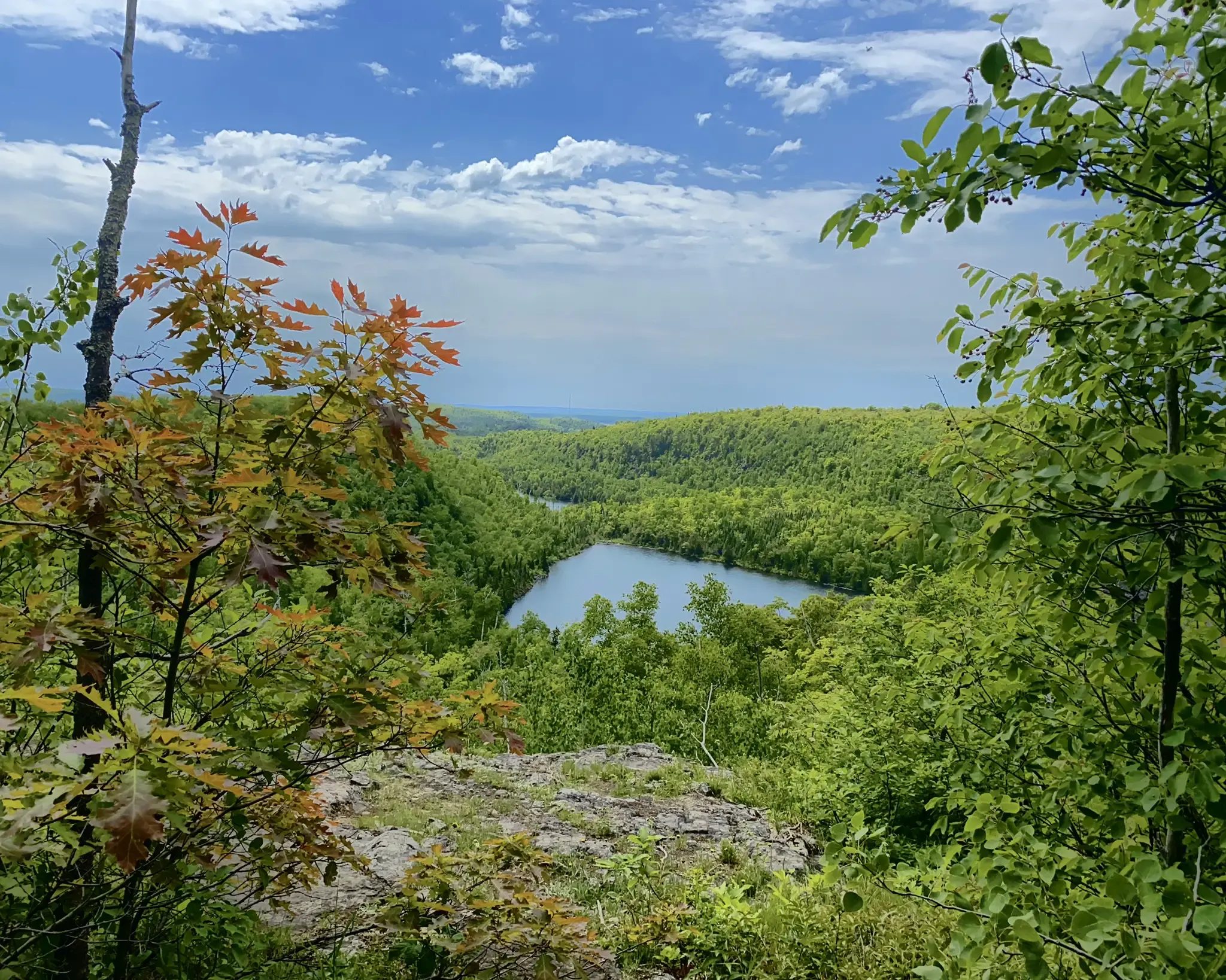
North Country Trail – 4,800 Miles along the edge of northern U.S.
Other adventures in Minnesota


Tips from the Community

Parking and a boat launch with access to bike trails that head north, south, and east!
1
0

This bench is right on the trail that closely follows the shore of Alimagnet Lake.
0
0

An easily accessible section of the Mississippi River Boulevard that offers an elevated view of the river, with the Lake Street Bridge visible in the background. The lush green trees framing the scenery and the flowing river make this path a perfect place to ride.
0
0
A spot along the trail where you can pause and appreciate the river views. There is a bench where you can sit and admire the river flowing gracefully between the trees.
0
0
This bridge, completed in 2024, has eliminated a major detour on the Cedar Lake Trail.
3
0

Viewing platform onto the Mississippi River. There is a bench on the platform for you to take a break and enjoy the wonderful view.
1
0

"The Industrious Cooperative Ant" sculpture is located along the trails in Wildflower Levee Park and was created with trash that was found in the river. The art piece serves as a reminder of the importance clean water has, and its value as a resource for not just humans but thousands of other species as well.
0
0

North Mississippi Regional Park is a long-reaching park along the Mississippi River. There are bike paths that travel the length of the park and offer great views of the river, bridges, islands, and dense woods. If you hop off your bike and sit by the riverside, you may just encounter some of the park's beaver population or spot some unique birds.
0
0
Frequently Asked Questions
How many bus-accessible hiking trails are available in Minnesota?
Minnesota offers over 200 bus-accessible hiking trails. The majority, around 160, are considered easy, making them suitable for most hikers. There are also about 40 moderate routes and a few challenging options for more experienced adventurers.
What kind of landscapes can I expect on bus-accessible hikes in Minnesota?
Minnesota's bus-accessible trails showcase the state's diverse natural beauty. You can find routes along the Mississippi River, through urban parks with lakes, and into forested areas. While the dramatic North Shore is less directly bus-accessible for hiking, many routes offer glimpses of the state's extensive forests, river bluffs, and urban green spaces.
Are there any family-friendly bus-accessible hikes in Minnesota?
Yes, many of the bus-accessible trails are family-friendly, particularly the numerous easy routes. For example, the Shadow Falls Loop is a shorter, easy option perfect for families. Look for trails with minimal elevation gain and shorter distances for a pleasant outing with children.
Can I bring my dog on bus-accessible hiking trails in Minnesota?
Most parks and trails in Minnesota welcome dogs, usually on a leash. However, specific rules can vary by location. It's always best to check the local park regulations before heading out. Generally, trails like the Alimagnet Park Lakeside Trail are dog-friendly.
What are some notable natural attractions I might see on these bus-accessible routes?
Many bus-accessible routes are near significant natural attractions. You might encounter stunning waterfalls like Minnehaha Falls, or enjoy views of the Confluence of the Mississippi and Minnesota Rivers. Some trails also pass by beautiful lakes such as Lake Phalen.
Are there any loop trails accessible by bus in Minnesota?
Yes, there are several loop trails that are convenient for bus access. The Shadow Falls Loop is a great example, offering a circular route that brings you back to your starting point, often near a bus stop.
What is the best time of year to go hiking on bus-accessible trails in Minnesota?
Spring, summer, and fall all offer unique experiences. Spring brings wildflowers and lush greenery, while summer is ideal for longer days. Fall is particularly stunning with vibrant foliage, especially in areas with hardwood forests. Winter hiking is also possible, but trails may be snowy or icy, requiring appropriate gear.
What should I wear for bus station hikes in Minnesota?
Layered clothing is always recommended due to Minnesota's variable weather. Comfortable, sturdy hiking shoes are essential. Depending on the season, consider waterproof outerwear, a hat, gloves, and sun protection. For winter, insulated and waterproof gear is crucial.
What do other hikers enjoy most about bus-accessible hiking in Minnesota?
The komoot community highly rates these trails, with an average score of 4.65 stars. Reviewers often praise the convenience of accessing nature directly from public transport, the well-maintained paths, and the surprising amount of natural beauty found within or close to urban areas.
Are permits required for hiking on bus-accessible trails in Minnesota?
Generally, permits are not required for day hiking on most bus-accessible trails in Minnesota's regional and state parks. However, some state parks may require a vehicle permit if you were to drive, but this typically doesn't apply if you're arriving by bus and hiking. Always check the specific park's website if you plan to visit a state park.
Can I find longer, more challenging bus-accessible hikes?
While many bus-accessible routes are easy, there are longer options for those seeking more distance. The West Mississippi River Regional Trail, for instance, offers a moderate 12.8 km hike. These longer trails often provide a greater sense of immersion in nature, even within urban or suburban settings.
Most popular routes in Minnesota
Most popular attractions in Minnesota

Get inspired with the komoot mobile app


Didn’t find what you were looking for?
Check out more Hikes throughout Minnesota below and find the perfect route in your destination.
Explore more
Browse the best Hikes in other regions.
