The best hikes from bus stations in Inn
4.6
(32999)
181,725
hikers
386
hikes
Bus station hiking trails in Inn traverse a landscape characterized by diverse natural features, including deep ravines, sandstone formations, and extensive forests. The region offers a mix of terrain, from river valleys to higher elevations, providing varied hiking experiences. Hikers can explore areas with unique geological formations and rich biodiversity.
Best bus station hiking trails in Inn
- The most popular bus station hiking route is Margunet - Swiss National Park, a 4.9 miles (7.8 km) trail that takes 2…
Last updated: October 14, 2026
4.8
(162)
1,161
hikers
7.84km
02:47
440m
520m
Moderate hike. Good fitness required. Easily-accessible paths. Suitable for all skill levels.
4.9
(146)
893
hikers
12.8km
05:23
640m
820m
Hard hike. Very good fitness required. Mostly accessible paths. Sure-footedness required.

4.9
(145)
887
hikers
12.7km
05:25
650m
820m
Hard hike. Very good fitness required. Mostly accessible paths. Sure-footedness required.
4.9
(88)
715
hikers
7.76km
04:13
730m
730m
Hike the Flüela-Schwarzhorn Trail, a 4.8-mile moderate route in Parc Ela, offering panoramic views from the summit.
4.9
(88)
717
hikers
7.70km
04:13
740m
740m
Moderate hike. Good fitness required. Mostly accessible paths. Sure-footedness required.
Get access to more routes and recommendations from other explorers.
Already have an account?
Our route recommendations are based on thousands of hikes, rides, and runs completed by other people on komoot.
Start today with a free account
Your next adventure awaits.
Popular around Inn
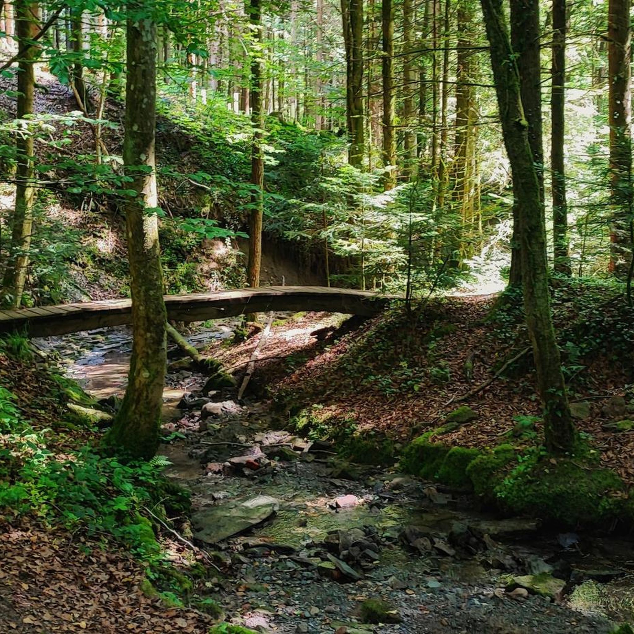
Hikes from bus stations in Schweizerischer National Park
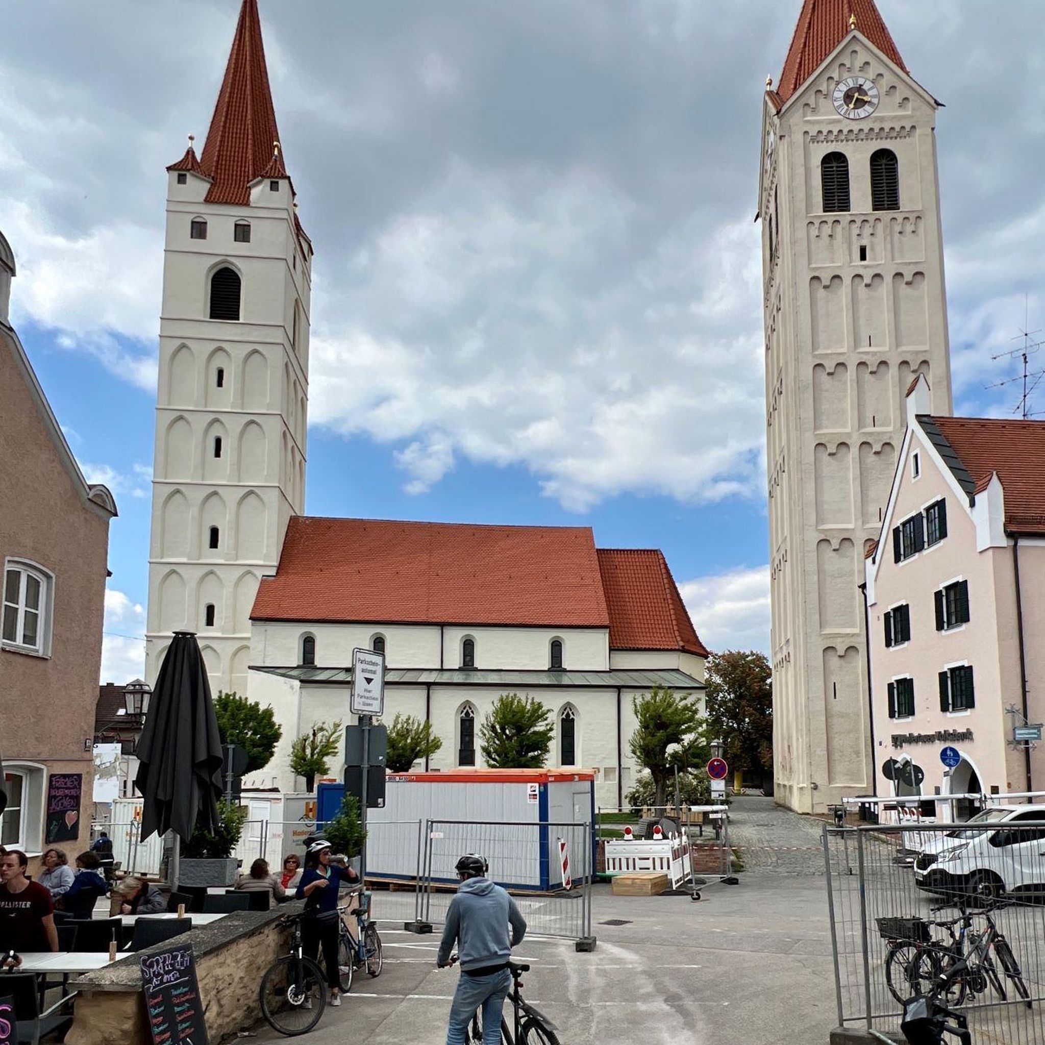
Hikes from bus stations around Biosfera Val Müstair
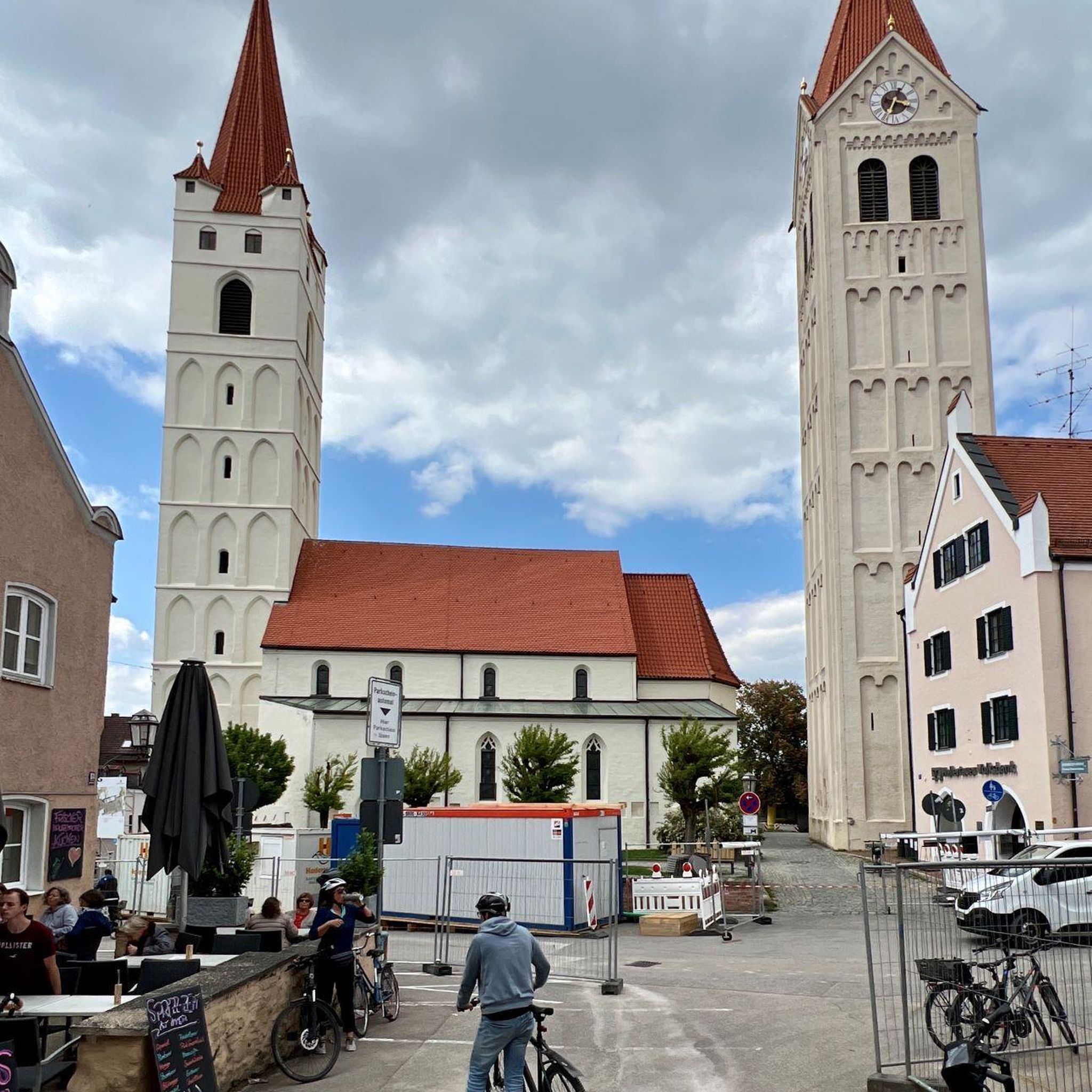
Hikes from bus stations around God Tamangur
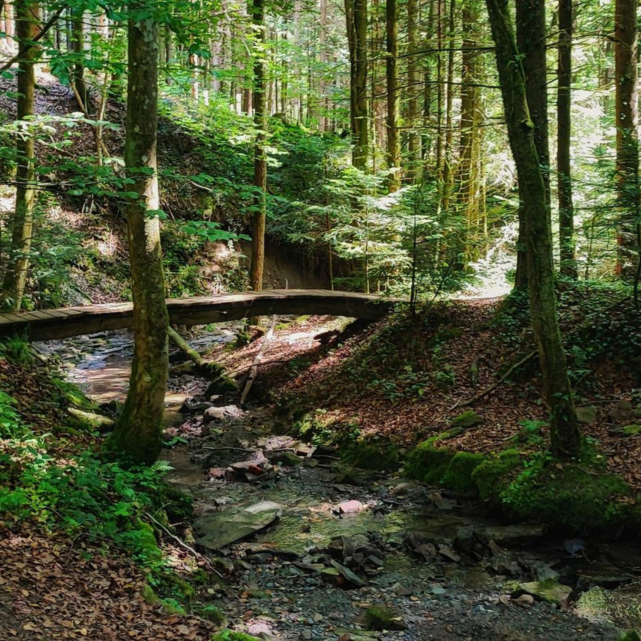
Hikes from bus stations around Lai da Ova Spin
Hikes from bus stations around Lake Rims
Swiss National Park Panorama Trail – Spectacular and serene
Between water and rock - Via Engiadina
Hiking with respect and tolerance – it just makes sense!
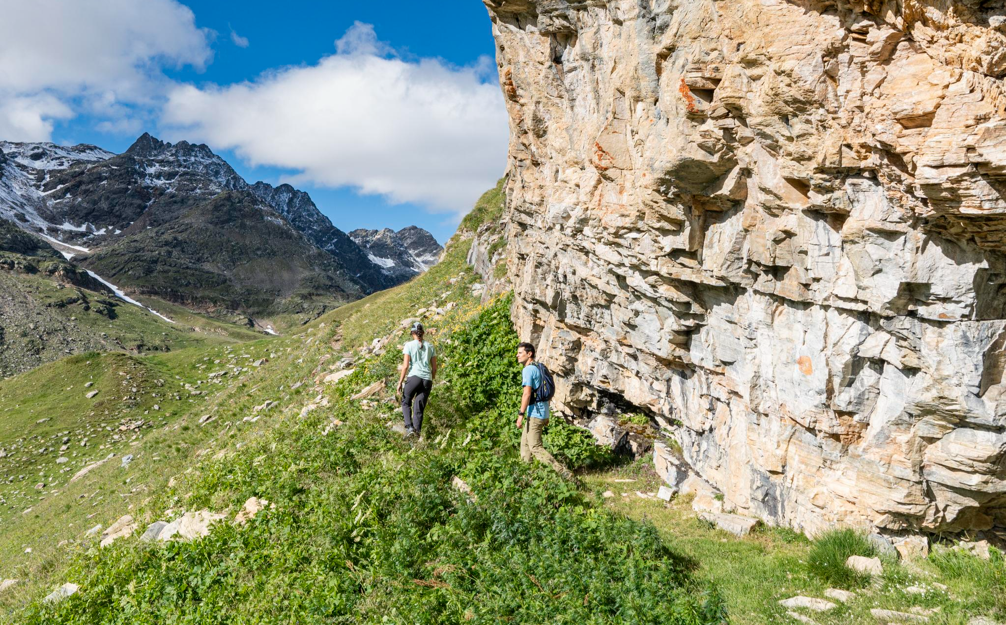
Stelvio Historical Trek – on the trail of the Great War in Bormio
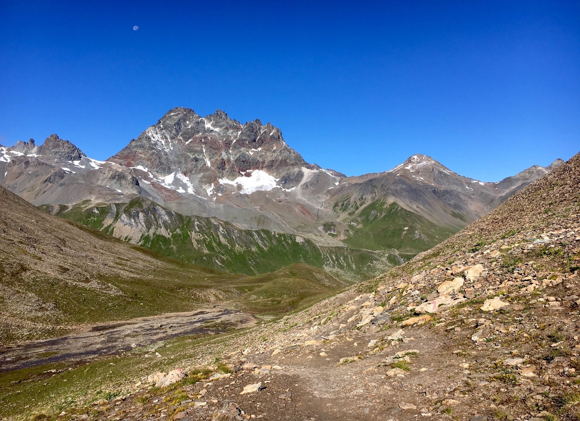
Senda Scuol-Samnaun – picturesque valleys and scenic passes
Other adventures in Inn


Tips from the Community


The Buffalora Hüttli is unfortunately no longer what it used to be. In the past, this place was something very special, not only because of its beautiful location, but above all because of the warm family who ran the Hüttli with great passion and dedication. You felt welcome, almost like among friends. Today, precisely this feeling is missing. The familiar atmosphere that characterized the Buffalora Hüttli for many years is unfortunately no longer palpable. It feels different, more impersonal, and thus loses a large part of its original charm. It's a shame that the nice family who made this place so special is no longer here. For many, the Buffalora Hüttli will therefore no longer be the same as it was before.
1
0


The food was overpriced (but good) and the service was unfriendly.
0
0

The Schwarzhorn is probably one of the easiest three-thousanders to hike. Even families with small children can climb it. My personal assessment of the difficulty level is T2.
3
0

The Flüela Pass looks pretty cool from above. A great route for road cyclists.
4
0
Frequently Asked Questions
How many bus station hiking trails are available in the Inn region?
The Inn region offers a wide variety of hiking trails accessible directly from bus stations, with over 400 routes available. These range from easy strolls to challenging mountain treks, ensuring there's something for every hiker.
Are there easy or beginner-friendly hikes accessible by bus in Inn?
Yes, the Inn region has over 100 easy hiking routes that are perfect for beginners or those looking for a relaxed walk. Many of these trails are well-marked and offer gentle gradients, making them ideal for a leisurely day out.
Can I find challenging hikes accessible by bus in the Inn region?
Absolutely. For experienced hikers seeking a challenge, there are nearly 100 difficult routes in the Inn region accessible by bus. An example is the Munt la Schera - Swiss National Park route, which features significant elevation changes and requires good physical condition.
Are there any circular hiking routes from bus stations in Inn?
Many of the hiking trails in the Inn region are designed as circular routes, allowing you to start and end your journey at the same bus station without needing to retrace your steps. This is a popular option for exploring the diverse landscapes efficiently.
What kind of natural landmarks or viewpoints can I expect on these bus-accessible hikes?
The Inn region, particularly around the Swiss National Park, offers stunning natural beauty. You can expect breathtaking mountain vistas, deep valleys, and pristine alpine environments. Highlights in the broader region include the Dreisprachenspitze summit and the scenic Fimba Valley.
Are the bus station hiking trails in Inn suitable for families with children?
Yes, many routes are family-friendly, offering shorter distances and less elevation gain. Look for easy-rated trails, which often pass by interesting natural features or offer picnic spots, making them enjoyable for all ages.
Are dogs allowed on the hiking trails accessible by bus in Inn?
Generally, dogs are welcome on most hiking trails in the Inn region, especially if kept on a leash. However, it's always advisable to check specific park regulations or trail descriptions, particularly within protected areas like the Swiss National Park, to ensure compliance.
What is the best time of year to hike from bus stations in the Inn region?
The best time for hiking in the Inn region is typically from late spring to early autumn (May to October), when the weather is mild, and trails are clear of snow. Summer offers lush landscapes and warmer temperatures, while autumn provides stunning fall foliage. Some lower-altitude trails may also be accessible in winter for snowshoeing or winter walking.
Are there any huts or places to stop for refreshments along the bus-accessible routes?
Yes, the Inn region features several mountain huts and alpine pastures where you can stop for refreshments or even an overnight stay. Notable options include the Heidelberger Hut and Alp Laret, providing traditional alpine hospitality.
How long do the bus-accessible hikes in Inn typically take?
Hike durations vary significantly. Easy routes might take just a couple of hours, while moderate trails like Margunet - Swiss National Park can take around 3-4 hours. Difficult routes, such as the Flüela-Schwarzhorn Trail, can extend to 5 hours or more, depending on your pace and breaks.
What do other hikers enjoy most about the bus station hikes in Inn?
The komoot community highly rates the hiking experience in the Inn region, with an average score of 4.6 stars from over 30,000 ratings. Hikers frequently praise the stunning alpine scenery, the convenience of public transport access, and the well-maintained trails that cater to various skill levels.
Most popular routes in Inn
Most popular attractions in Inn

Get inspired with the komoot mobile app


Didn’t find what you were looking for?
Check out more Hikes throughout Inn below and find the perfect route in your destination.
Explore more
Browse the best Hikes in other regions.
