The best hikes from bus stations in Vivisbachbezirk
4.5
(3264)
33,373
hikers
76
hikes
Hiking in Vivisbachbezirk offers a range of bus station hiking trails through varied landscapes. The region features routes with moderate elevation changes, indicating a mix of hills and valleys. Trails often lead through forested areas and open country, providing diverse outdoor experiences. These routes are designed for accessibility via public transport, making them convenient starting points for exploring the area.
Best bus station hiking trails in Vivisbachbezirk
- The most popular bus station hiking route is Corbetta Loop Trail, a 7.0 miles (11.2 km) trail that takes 3 hours 30 minutes to complete. This moderate route features notable elevation gain through varied terrain.
- Another top favourite among local hikers is Bossonnens Loop, a moderate 6.7 miles (10.8 km) path. This trail offers a mix of ascents and descents, providing views of the surrounding landscape.
- Local hikers also love the Tour à Chapelle, a 7.0 miles (11.2 km) trail leading through a mix of open fields and forested sections, often completed in about 3 hours 8 minutes.
- Hiking in Vivisbachbezirk is defined by its varied terrain, including hills, valleys, and forested areas. The network offers options for different ability levels, from easy walks to more challenging ascents.
- The routes in Vivisbachbezirk are highly rated by the komoot community with an average score of 4.5 stars from over 2900 reviews. More than 31000 hikers have used komoot to explore Vivisbachbezirk's varied terrain.
Last updated: July 11, 2026
2.5
(2)
33
hikers
11.2km
03:31
430m
420m
Moderate hike. Good fitness required. Easily-accessible paths. Suitable for all skill levels.
4.5
(2)
13
hikers
10.8km
03:07
240m
240m
Moderate hike. Good fitness required. Easily-accessible paths. Suitable for all skill levels.

Sign up for free
4.0
(1)
2
hikers
11.2km
03:08
220m
220m
Moderate hike. Good fitness required. Easily-accessible paths. Suitable for all skill levels.
4.3
(7)
189
hikers
10.9km
04:54
810m
810m
Hard hike. Good fitness required. Sure-footedness, sturdy shoes and alpine experience required.
4.6
(7)
61
hikers
7.31km
02:20
310m
300m
Moderate hike. Good fitness required. Easily-accessible paths. Suitable for all skill levels.
Get access to more routes and recommendations from other explorers.
Sign up for free
Already have an account?
Our route recommendations are based on thousands of hikes, rides, and runs completed by other people on komoot.
Start today with a free account
Your next adventure awaits.
Login or Signup
Popular around Vivisbachbezirk

Alpine Panorama Trail in Switzerland – Keep your eyes on the mountains
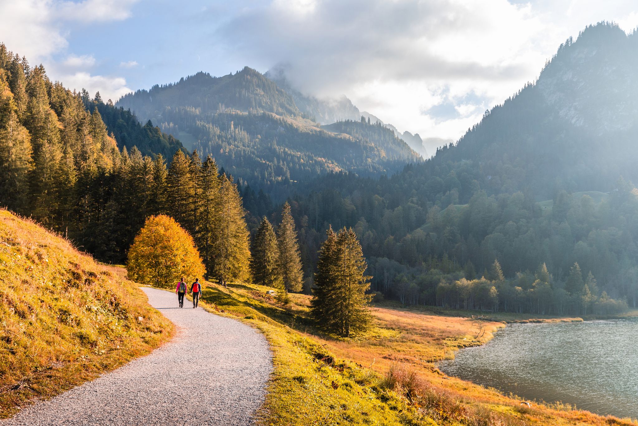
High Up – 7 hikes in the mountains around Freibourg
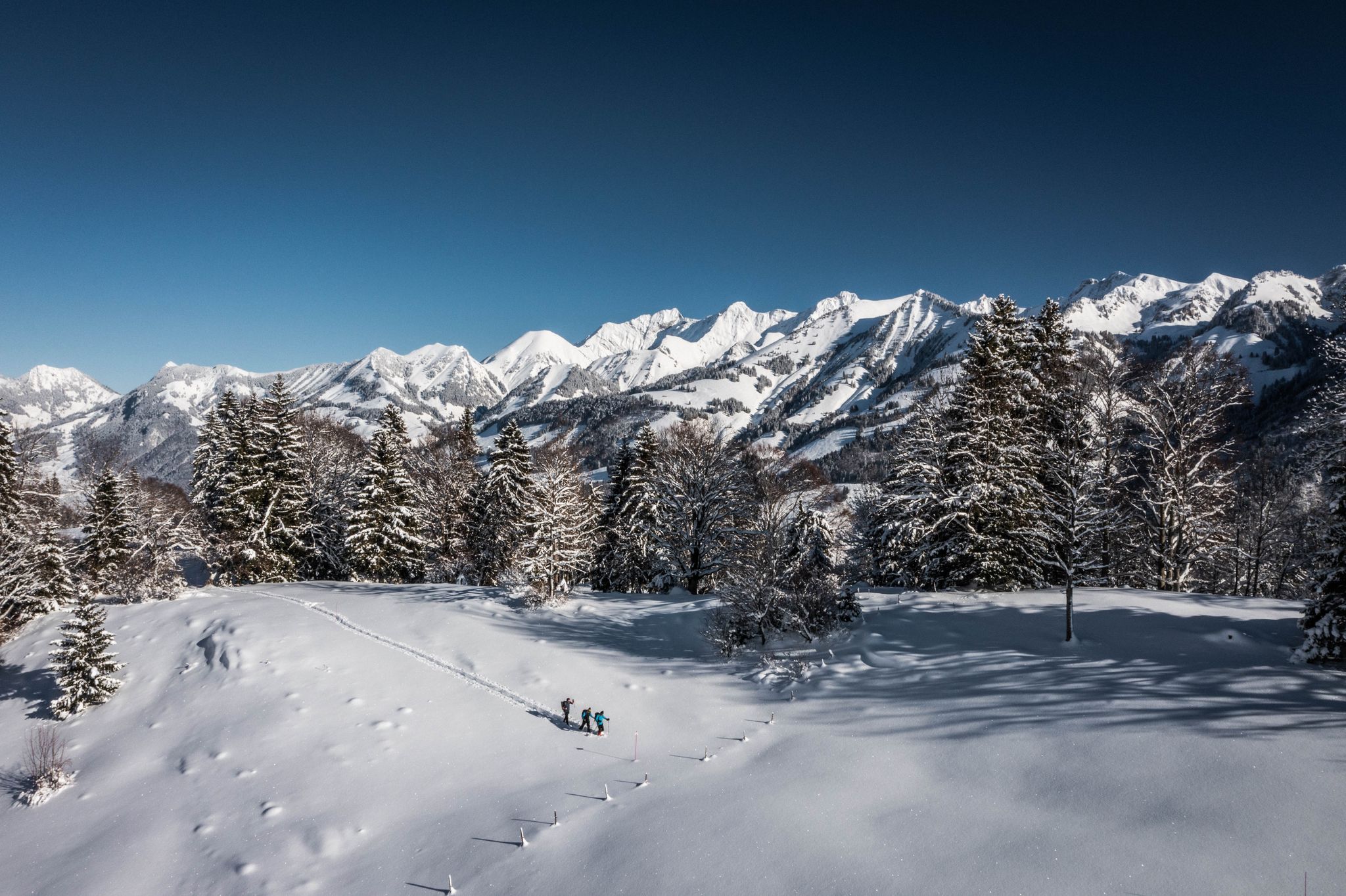
White landscapes – hiking on snowshoes in the Swiss canton of Fribourg
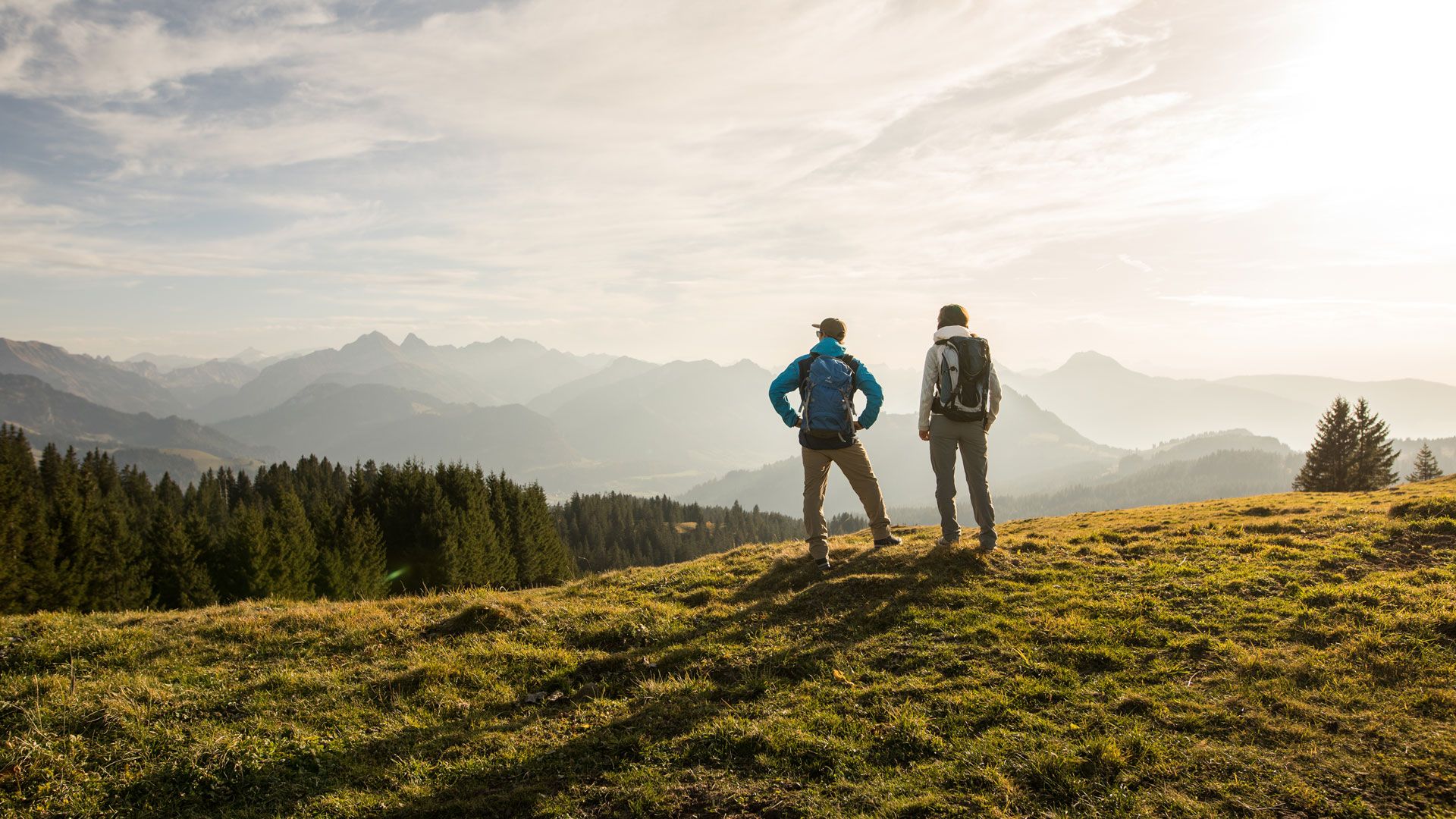
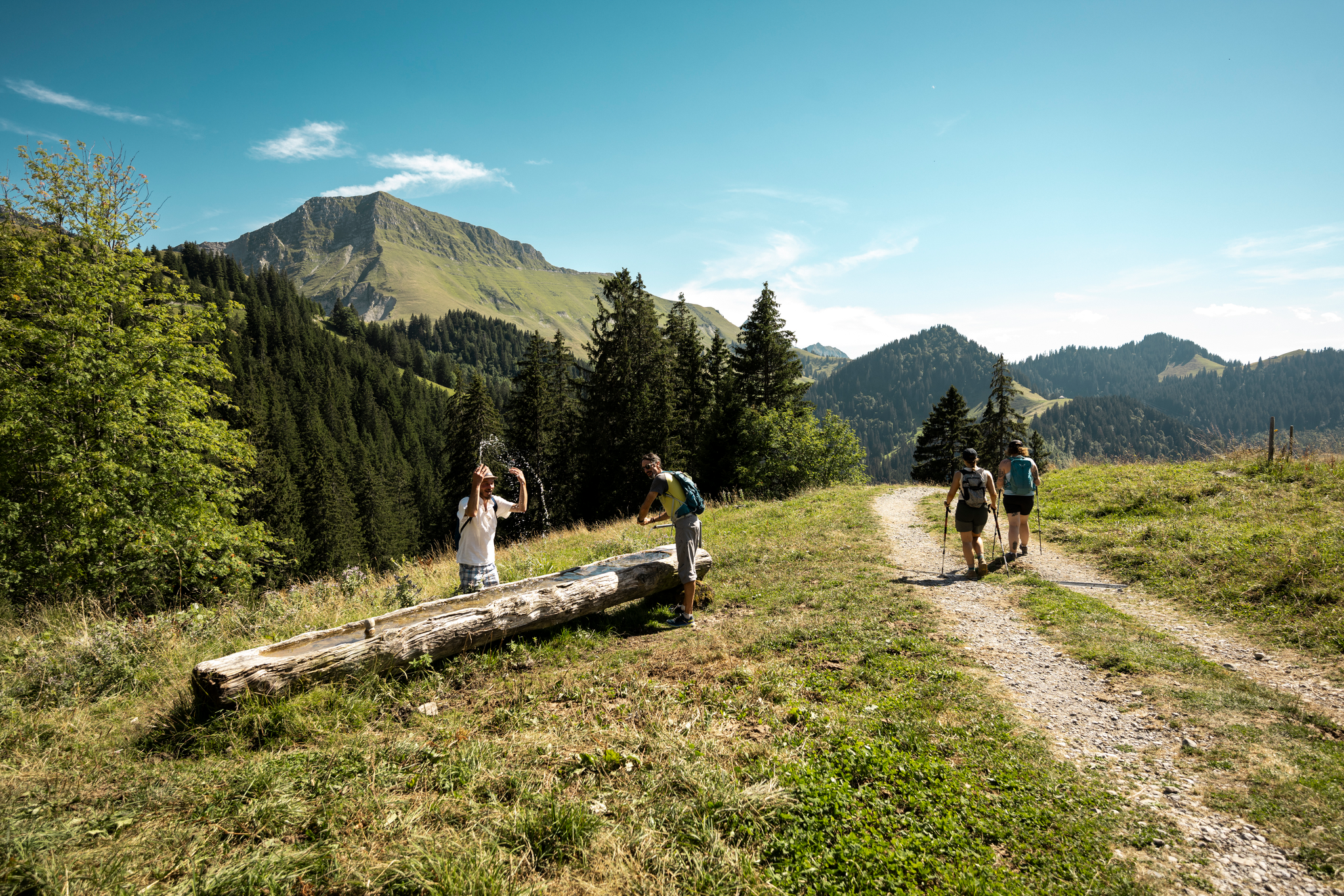
Top hikes - Summer hiking in the canton of Fribourg
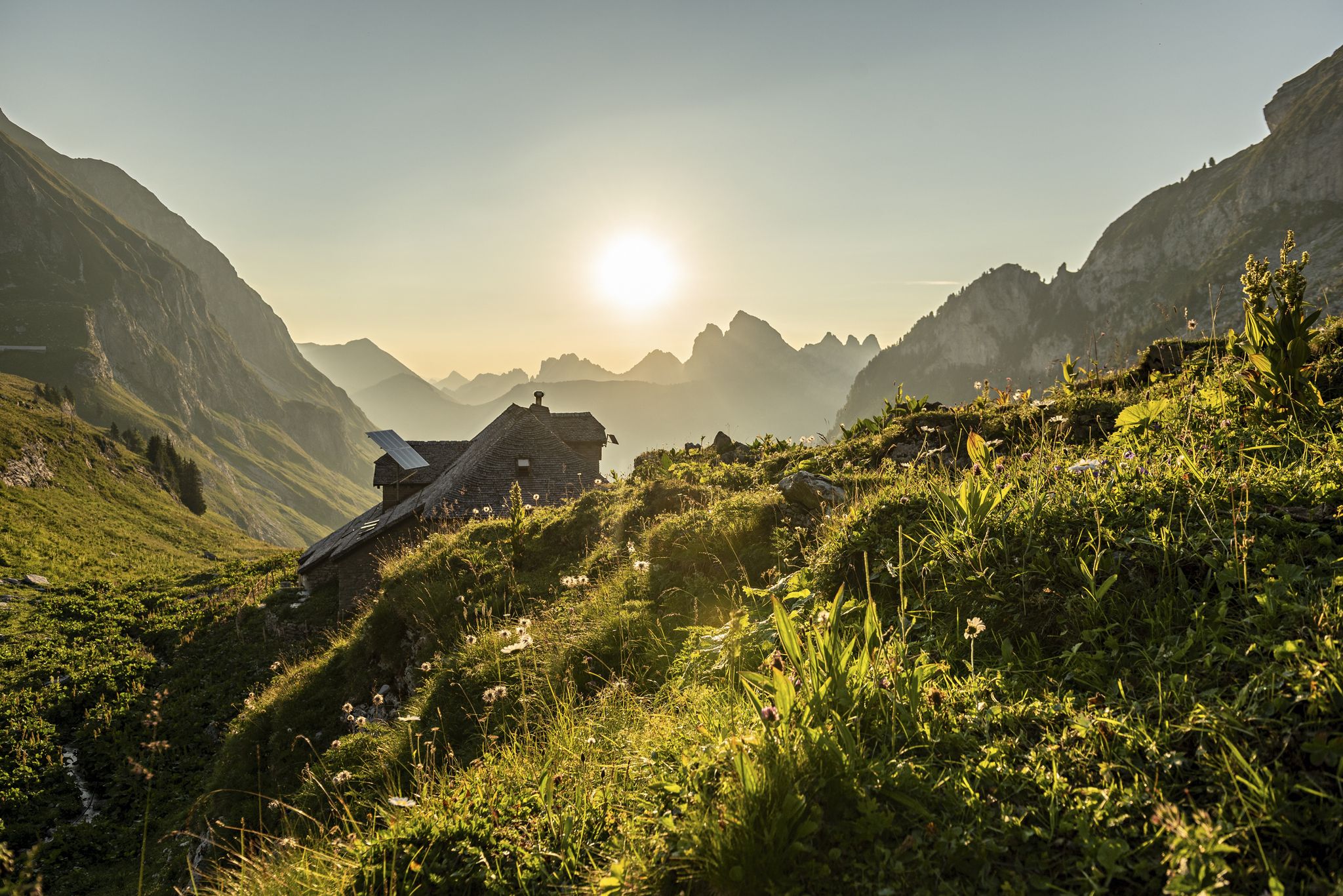
Fribourg — Close to nature
Wandern trifft Kulinarik – Die Gourmetpfade von Les Paccots
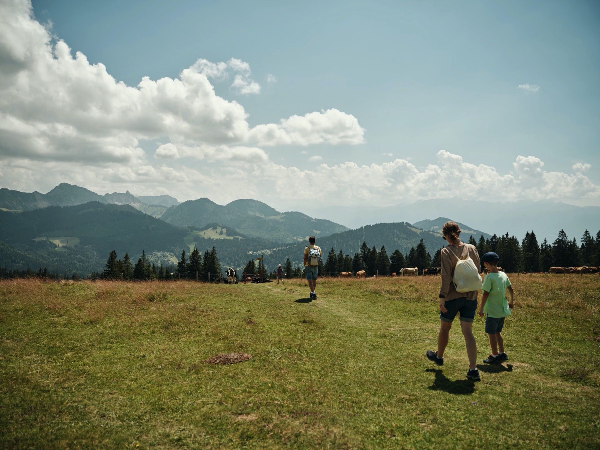
Familienfreundliche Themenwanderungen im Kanton Freiburg
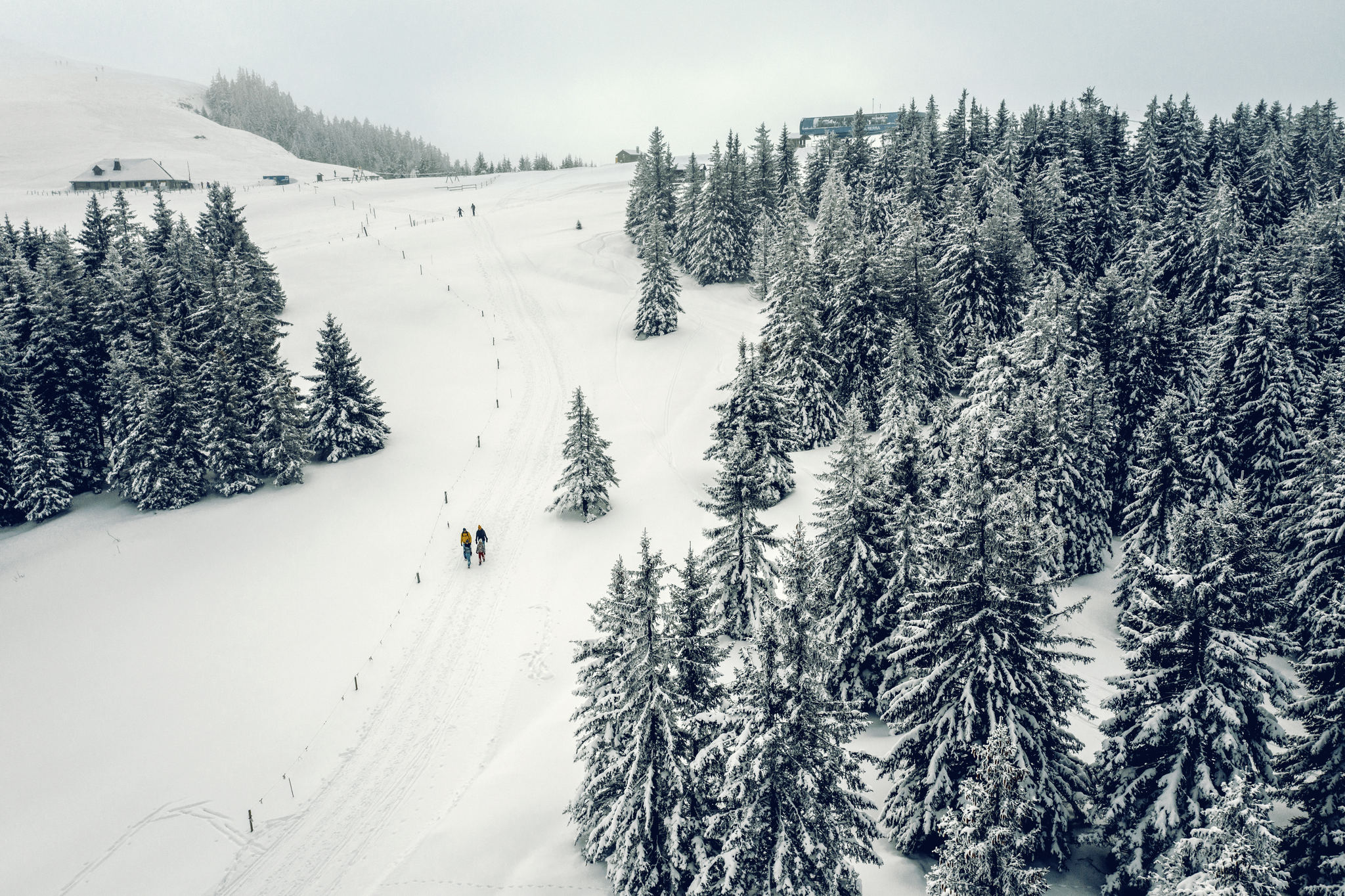
Einfache Winterwanderwege in der Region Freiburg
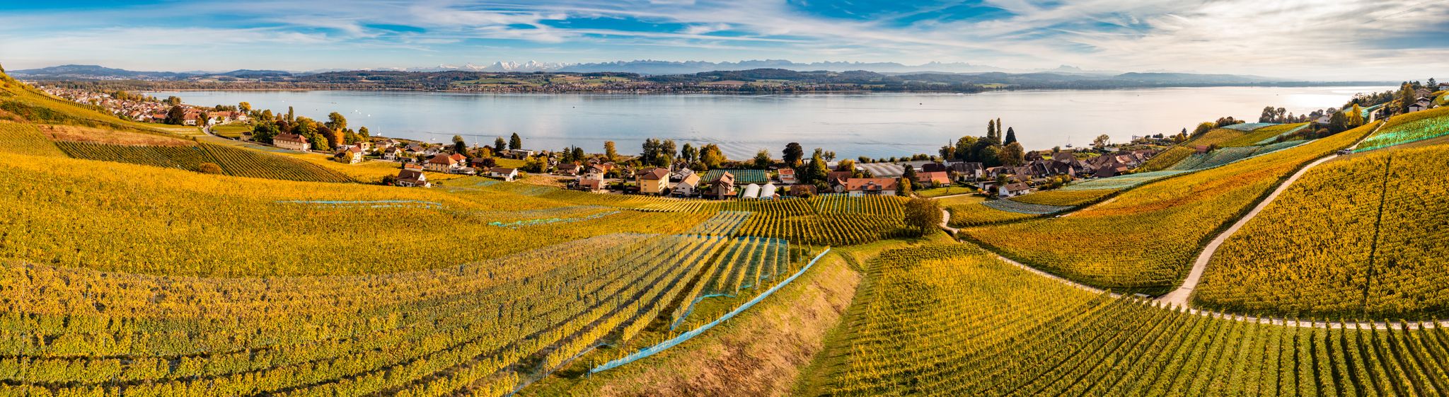
Top Herbstwanderungen im Kanton Freiburg
Other adventures in Vivisbachbezirk


Tips from the Community


A lovely hike with a fair amount of climbing. Upon reaching the top, you climb the ridge to the summit. Magnificent view ♡ People with a fear of heights should avoid! This hike is not ideal for those with a dog or walking poles.
1
0

Restaurant closed...for several months.
0
0

Charming little village in the Swiss countryside.
0
0

The grassy summit of Mys Derrey sits 1863 meters above sea level and offers stunning views of the surrounding mountains and valleys. The best time to visit this peak is from May to October, when the wildflowers are in bloom and the weather is pleasant. You may also spot wildlife along the path, such as marmots and deer. Mys Derrey is an ideal destination for adventurous hikers.
2
0
Superb view of the Dent de Lys and the adjacent valley! The setting is grandiose and ideal for trail running!
0
0
Small summit culminating at 960m, but which is climbable well with a fairly dry (difficult) climb!
0
1
Small lake in a magical and bucolic landscape. You can go around it, and push further to face the surrounding peaks!
0
0
Frequently Asked Questions
How many bus-accessible hiking trails are there in Vivisbachbezirk?
Vivisbachbezirk offers a wide selection of bus-accessible hiking trails, with over 75 routes available. This makes it easy to explore the region's diverse landscapes without needing a car.
Are there easy bus-accessible hikes suitable for beginners or families?
Yes, Vivisbachbezirk has numerous easy trails perfect for beginners or families. Over 30 routes are classified as easy, providing gentle gradients and manageable distances. For example, the Bossonnens Loop is a moderate trail that offers accessible terrain and beautiful views, suitable for those looking for a pleasant day out.
Can I bring my dog on these bus-accessible trails?
Generally, dogs are welcome on hiking trails in the Vivisbachbezirk region, especially if kept on a leash. However, it's always advisable to check specific local regulations or bus company policies regarding pets before you travel. Many trails pass through natural areas where wildlife may be present, so keeping your dog under control is important.
Are there any circular hiking routes starting from bus stations?
Absolutely! Many bus-accessible trails in Vivisbachbezirk are circular, allowing you to start and end your hike at the same bus stop. Popular options include the Corbetta Loop Trail and the Bossonnens Loop, both offering convenient round trips from public transport access points.
What kind of scenery can I expect on these bus-accessible trails?
The Vivisbachbezirk region, often associated with the scenic Swiss Prealps, offers a diverse range of landscapes. You can expect lush green valleys, rolling hills, dense forests, and stunning panoramic views of mountain peaks. Many trails lead to picturesque spots like the Lac des Joncs Inn, providing beautiful natural backdrops for your hike.
Are there any places to eat or rest near the bus stops or along the trails?
Yes, several bus-accessible routes in Vivisbachbezirk pass by charming inns, mountain huts, or villages where you can find refreshments. For instance, the area around Les Paccots, a common starting point for hikes, offers various options. The Lac des Joncs Inn is a notable spot directly on some routes, perfect for a break.
What are some notable landmarks or attractions I can see on these hikes?
Vivisbachbezirk's bus-accessible trails offer access to several impressive natural landmarks. You can hike towards prominent peaks like Dent de Lys, Les Alpettes Summit, or Niremont Summit. The tranquil Lac des Joncs Inn is also a popular highlight along many routes.
When is the best time of year to hike these bus-accessible trails?
The best time for hiking in Vivisbachbezirk is typically from late spring to early autumn (May to October). During these months, the weather is generally mild, trails are clear of snow, and the flora is vibrant. Autumn offers spectacular fall foliage, while summer provides warmer temperatures for higher altitude routes.
Are there options for more challenging hikes accessible by bus?
For experienced hikers seeking a challenge, Vivisbachbezirk provides several difficult bus-accessible routes. There are 7 challenging trails available, often involving significant elevation gain and rugged terrain. An example is the View of Dent de Lys – Dent de Lys loop from Les Paccots, which features substantial ascents and rewarding panoramic views.
What do other hikers say about the bus station trails in Vivisbachbezirk?
The bus station trails in Vivisbachbezirk are highly rated by the komoot community, with an average score of 4.5 stars. Reviewers often praise the convenience of public transport access, the well-maintained paths, and the stunning natural beauty, especially the views of the surrounding peaks and valleys.
Are there any specific trails that offer great views of the Dent de Lys?
Yes, the majestic Dent de Lys is a prominent feature in the Vivisbachbezirk landscape, and several bus-accessible trails offer fantastic views of it. The View of Dent de Lys – Dent de Lys loop from Les Paccots is specifically designed to showcase this iconic peak.
How long do the bus-accessible hikes typically take?
The duration of bus-accessible hikes in Vivisbachbezirk varies greatly depending on the route's length and difficulty. Easy trails might take 2-3 hours, while moderate routes like the Tour à Chapelle can take around 3 hours. More challenging hikes, such as the Dent de Lys loop, can extend to 5 hours or more.
Most popular routes in Vivisbachbezirk
Most popular attractions in Vivisbachbezirk

Get inspired with the komoot mobile app


Explore more
Browse the best Hikes in other regions.
