The best hikes from bus stations around Deggenhausertal
4.4
(2794)
10,453
hikers
204
hikes
Bus station hiking trails around Deggenhausertal offer access to a diverse landscape characterized by varied topography, including river valleys, forested areas, and hills with panoramic views. The region features gentle rivers like the Rotach and higher elevations such as Höchsten, providing expansive vistas. Hikers can explore a mix of natural environments, from dense woodlands to open hillsides adorned with fruit trees.
Best bus station hiking trails around Deggenhausertal
- The most popular bus station hiking route is View of Höchsten –…
Last updated: August 21, 2026
4.4
(73)
317
hikers
Easy hike. Great for any fitness level. Easily-accessible paths. Suitable for all skill levels.
3.9
(57)
195
hikers
8.89km
02:29
180m
180m
Moderate hike. Good fitness required. Easily-accessible paths. Suitable for all skill levels.

Sign up for free
4.4
(59)
243
hikers
Moderate hike. Good fitness required. Easily-accessible paths. Suitable for all skill levels.
4.6
(59)
237
hikers
5.65km
01:33
90m
90m
Easy hike. Great for any fitness level. Easily-accessible paths. Suitable for all skill levels.
4.6
(29)
129
hikers
Moderate hike. Good fitness required. Mostly accessible paths. Sure-footedness required.
Get access to more routes and recommendations from other explorers.
Sign up for free
Already have an account?
Our route recommendations are based on thousands of hikes, rides, and runs completed by other people on komoot.
Start today with a free account
Your next adventure awaits.
Login or Signup
Other adventures around Deggenhausertal


Tips from the Community

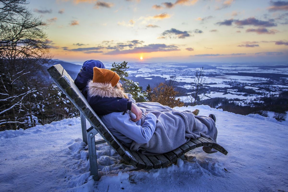
We did not find the lounger. It is probably no longer there.
0
0

Anyone needing a snack for their hike will surely find something here. Cheese, sausage, sweets, drinks...everything's available.
0
0
According to Komoot, it's only an 18% incline/decline, but it's already steep over a short distance.
0
0

Wonderful view over Lake Constance. 🥰
3
0

The bridge takes you over the romantic Aubach stream, which gently babbles along. You're surrounded by beautiful mixed forest. In spring, when the sun awakens the buds of the deciduous trees, various bird species flock here.
0
0
At 842 meters, the Höchsten is the highest elevation in Upper Swabia and Linzgau. It lies between the communities of Deggenhausertal, Illmensee and Wilhelmsdorf. As a prominent watershed, streams flow either to the Danube or via Lake Constance into the Rhine. From the top, the view extends as far as the Alps. Hiking trails and cycle routes make it a popular destination for nature lovers and athletes.
2
1


Nice little stable bridge, the paths to it are a bit slippery due to either mud or ice. Caution is advised.
0
0
Frequently Asked Questions
How many hiking trails are accessible from bus stations in Deggenhausertal?
There are over 195 hiking trails in Deggenhausertal that are easily accessible from bus stations. These routes cater to various preferences, from leisurely strolls to more challenging day hikes.
What are the difficulty levels of bus-accessible hiking trails in Deggenhausertal?
The trails accessible from bus stations in Deggenhausertal offer a range of difficulties. You'll find approximately 95 easy routes, 91 moderate routes, and 9 more difficult options, ensuring there's something for every fitness level.
Are there family-friendly hiking trails accessible by bus in Deggenhausertal?
Yes, Deggenhausertal is very family-friendly. A great option is the Treppenschaukel Swing – Swing Trail loop from GVV Markdorf. This 5 km path features 13 different swing stations and is largely paved, making it suitable for strollers while winding through beautiful fruit trees and green hills.
Can I bring my dog on hikes from bus stations in Deggenhausertal?
Many trails in Deggenhausertal are suitable for dogs, especially those through forests and along river valleys. Always keep your dog on a leash, especially near wildlife or livestock. The diverse landscapes, including forested areas and open hills, provide plenty of opportunities for enjoyable walks with your canine companion.
Are there circular hiking routes available from bus stops?
Yes, many of the trails accessible from bus stations in Deggenhausertal are circular, allowing you to start and end your hike at the same point. For example, the View of Höchsten – Picnic Area loop from Höchsten is a moderate 8.9 km circular route offering great views.
Which bus-accessible trails offer the best panoramic views?
For breathtaking panoramic views, consider routes around Höchsten, the highest elevation in the region. The Höchsten Mountain Inn – Great view from the Höchsten loop from Deggenhausertal offers expansive vistas over Lake Constance and even glimpses of the Alps. Another excellent viewpoint is the Bannwald Tower, providing a 360-degree view of the Pfrunger-Burgweiler Ried.
Are there any waterfalls or gorges to explore on bus-accessible hikes?
Yes, the region features picturesque natural attractions. You can find the Molasse Gorge Waterfall, a beautiful natural monument within a forest, which is a significant feature on hikes in the Schmalegger Tobel. The Rotach Valley Trail also offers scenic routes through riverine environments.
What other natural features or landmarks can I see along these trails?
Beyond panoramic views, you can explore diverse landscapes including serene river valleys and lush green hills adorned with fruit trees. Highlights include the Beautiful vineyards and various Lake Constance viewpoints. The area is also known for its themed trails like the Deggenhausertal Swing Path.
What is the best time of year to hike from bus stations in Deggenhausertal?
Deggenhausertal is beautiful year-round. Spring brings blooming orchards, while summer offers lush greenery. Autumn is particularly stunning with vibrant fall foliage, making it ideal for walks through fruit trees. Even winter can be charming for crisp, clear hikes, though some higher elevation trails might require appropriate gear.
Are there places to eat or drink near the bus-accessible hiking trails?
Yes, you'll find various amenities in the villages and towns along the bus routes and near trailheads. The Höchsten area, for instance, has the Höchsten Mountain Inn, which is a popular spot for refreshments and meals, often integrated into hiking loops like the Höchsten Mountain Inn – Wooden Bridge Over the Aubach loop.
How long are the typical hikes accessible by bus in Deggenhausertal?
The duration and distance of bus-accessible hikes vary widely. You can find shorter, easy walks like the 5.6 km Treppenschaukel Swing Trail, which takes around 1.5 hours. Moderate routes, such as the 11.1 km Höchsten Mountain Inn loop, can take around 3 hours or more, depending on your pace and breaks.
What do other hikers enjoy most about hiking in Deggenhausertal?
The komoot community highly rates hiking in Deggenhausertal, with an average score of 4.4 stars. Reviewers often praise the diverse topography, the stunning panoramic views over Lake Constance and the Alps, and the well-maintained trails that cater to all levels. The accessibility via public transport is also a frequently highlighted positive aspect.
Most popular routes around Deggenhausertal
Most popular attractions around Deggenhausertal

Get inspired with the komoot mobile app


Explore more
Browse the best Hikes in other regions.
