The best hikes from bus stations around Wiehe
4.5
(4974)
15,834
hikers
36
hikes
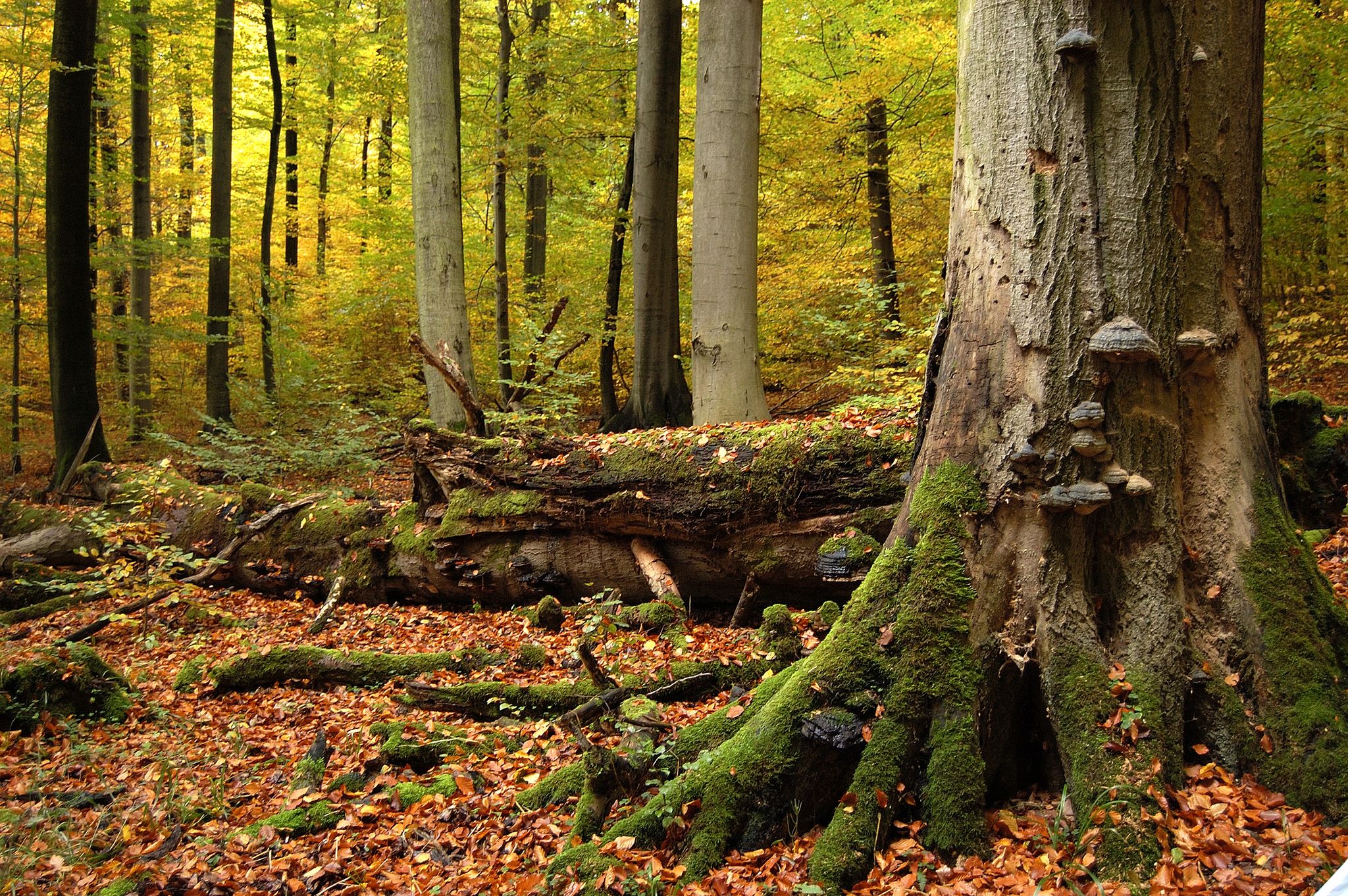
Hiking around Wiehe offers diverse landscapes, situated in the Unstrut valley on the northern slope of the Hohe Schrecke, a wooded mountain ridge. The region features varied forested terrain, including areas associated with "Thuringia's Primeval Forests of Tomorrow." Hikers can explore a mix of riverside paths, hillside trails, and areas with natural monuments and canyons. This provides a range of environments for outdoor activities.
Best bus station hiking trails around Wiehe
- The most popular bus station hiking route is View…
Last updated: October 14, 2026
4.7
(20)
52
hikers
Moderate hike. Good fitness required. Easily-accessible paths. Suitable for all skill levels.
5.0
(9)
26
hikers
11.0km
03:15
310m
310m
Moderate hike. Good fitness required. Easily-accessible paths. Suitable for all skill levels.

5.0
(5)
11
hikers
Moderate hike. Good fitness required. Easily-accessible paths. Suitable for all skill levels.
5.0
(2)
6
hikers
7.61km
02:12
200m
200m
Moderate hike. Good fitness required. Easily-accessible paths. Suitable for all skill levels.
4.2
(5)
12
hikers
4.32km
01:13
100m
100m
Easy hike. Great for any fitness level. Easily-accessible paths. Suitable for all skill levels.
Get access to more routes and recommendations from other explorers.
Already have an account?
Our route recommendations are based on thousands of hikes, rides, and runs completed by other people on komoot.



Tips from the Community

There are really great sculptures here, of various kinds.
0
0
It certainly looks great in spring when the cherry trees bloom. A great avenue.
0
0

Very large rest hut right at the turning loop.
5
0

A consistently enchanting ravine! It has carved an impressively deep path over time, yet occasionally offers views across the countryside.
4
0

Well done, especially for children.
0
0

Shelter, very well maintained.
0
0
Informative
2
0
Frequently Asked Questions
How many hiking trails are accessible directly from bus stations around Wiehe?
There are around 40 hiking trails in the Wiehe area that you can easily start from a bus station. These routes offer a diverse range of experiences, from leisurely strolls to more challenging treks, all without needing a car.
Are there easy hiking trails from Wiehe's bus stops suitable for beginners or families?
Yes, Wiehe offers a good selection of easy trails perfect for beginners or families. With 17 easy routes available, you can find paths that are less strenuous and often shorter. For example, the "Wooden Telescope in Rabenwald – Wooden bridge in Rabenswald loop from Wiehe" is a moderate option that can be enjoyed by those with a basic fitness level, offering scenic views without extreme difficulty.
What kind of landscapes can I expect to see on bus station hikes near Wiehe?
The hiking trails around Wiehe, particularly those accessible by bus, showcase the diverse landscapes of the region. You'll experience the wooded mountain ridge of the Hohe Schrecke, often referred to as "Thuringia's Primeval Forests of Tomorrow," with its natural and pristine forest areas. Many routes also follow the picturesque Unstrut Valley, offering a mix of riverside and hillside views. Expect varied terrain, including some natural monuments and scenic viewpoints.
Are there any circular hiking routes available from Wiehe's bus stops?
Yes, many of the trails accessible from Wiehe's bus stations are circular routes, allowing you to return to your starting point without retracing your steps. An example is the "View of Garnbach – Start of the Sculpture Trail loop from Wiehe," which offers a complete loop experience through varied scenery.
What are some interesting sights or attractions I can find along the hiking trails near Wiehe?
The trails around Wiehe offer several points of interest. You might encounter historical sites like the Rabenswald Castle Ruins or enjoy panoramic views from the View of Wendelstein Castle. The region is also home to tranquil natural spots such as Kleffer Pond or the Forest pond in Borntal, perfect for a peaceful break. The "Wooden Sculpture Trail" near Garnbach also features unique artistic installations.
What do other hikers enjoy the most about hiking in Wiehe?
The komoot community rates hiking in Wiehe highly, with an average score of 4.5 stars from over 4,400 ratings. Hikers frequently praise the region's quiet, well-maintained forest paths, the diverse natural scenery of the Hohe Schrecke, and the convenience of accessing trails directly from public transport stops.
Are there any moderate or challenging hikes from Wiehe bus stations for more experienced hikers?
Absolutely. For those seeking a greater challenge, Wiehe offers 16 moderate and 7 difficult routes accessible by bus. These trails often feature more significant elevation changes and longer distances. An example of a more demanding route is the "View of Garnbach – Wooden bridge in Rabenswald loop from Wiehe," which covers over 20 km and includes substantial elevation gain.
Can I find trails that offer scenic viewpoints or panoramic vistas near Wiehe's bus stops?
Yes, the region around Wiehe is known for its scenic viewpoints. Many trails lead to elevated spots offering expansive views over the Unstrut Valley and the surrounding Hohe Schrecke landscape. The Nebra Sky Disc Discovery Site, with its 30-meter-high observation tower, provides magnificent panoramic views of the area, including the Nebra Arch, and is accessible via local transport connections.
Are the bus station hiking trails around Wiehe suitable for dog owners?
Many of the trails in the Wiehe region are dog-friendly, offering plenty of natural space for your canine companion. It's always recommended to keep dogs on a leash, especially in forested areas or near wildlife, and to check specific trail regulations if available. The varied terrain and extensive woodlands provide an excellent environment for walks with your dog.
What is the best season to go hiking from Wiehe's bus stations?
The best season for hiking around Wiehe largely depends on your preferences. Spring brings blooming wildflowers and fresh greenery, while autumn offers stunning foliage colors in the Hohe Schrecke forests. Summer is ideal for longer days and warmer weather, though some trails might be shaded. Even winter can be beautiful for a crisp walk, especially if there's snow, but always check trail conditions and dress appropriately.
Are there any trails that feature unique natural monuments or geological formations?
The Hohe Schrecke region, where Wiehe is located, is characterized by diverse natural features, including canyons and natural monuments. While specific named formations aren't always highlighted on every route, the overall landscape provides a sense of wildness and natural beauty, particularly within the designated "Thuringian primeval forest paths" that emphasize untouched nature.
Most popular attractions around Wiehe

Get inspired with the komoot mobile app


Explore more
Browse the best Hikes in other regions.
