The best hikes from bus stations around Briesen (Mark)
4.5
(3405)
12,332
hikers
15
hikes
Bus station hiking trails around Briesen (Mark) traverse a landscape characterized by extensive forests, tranquil rivers, and a network of lakes. The region is situated near the Spree River and includes parts of the Schlaubetal Nature Park, offering varied terrain for outdoor activities. Elevation changes are generally gentle, with routes winding through wooded areas and past water features. This area provides a natural setting for accessible hiking experiences.
Best bus station hiking trails around Briesen (Mark)
- The most popular bus…
Last updated: June 27, 2026
4.9
(14)
61
hikers
10.9km
02:46
30m
30m
Moderate hike. Good fitness required. Easily-accessible paths. Suitable for all skill levels.
4.5
(2)
14
hikers
23.2km
05:59
110m
110m
Hard hike. Very good fitness required. Easily-accessible paths. Suitable for all skill levels.

Sign up for free
3.0
(1)
5
hikers
Hard hike. Very good fitness required. Easily-accessible paths. Suitable for all skill levels.
4.5
(2)
7
hikers
Easy hike. Great for any fitness level. Easily-accessible paths. Suitable for all skill levels.
5.0
(2)
6
hikers
11.7km
03:02
70m
70m
Moderate hike. Good fitness required. Easily-accessible paths. Suitable for all skill levels.
Get access to more routes and recommendations from other explorers.
Sign up for free
Already have an account?
Our route recommendations are based on thousands of hikes, rides, and runs completed by other people on komoot.
Start today with a free account
Your next adventure awaits.
Login or Signup


Tips from the Community

Wow, what more could you want from nature. Great insights.
0
0
Nice little spot here. Wonderful round.
0
0
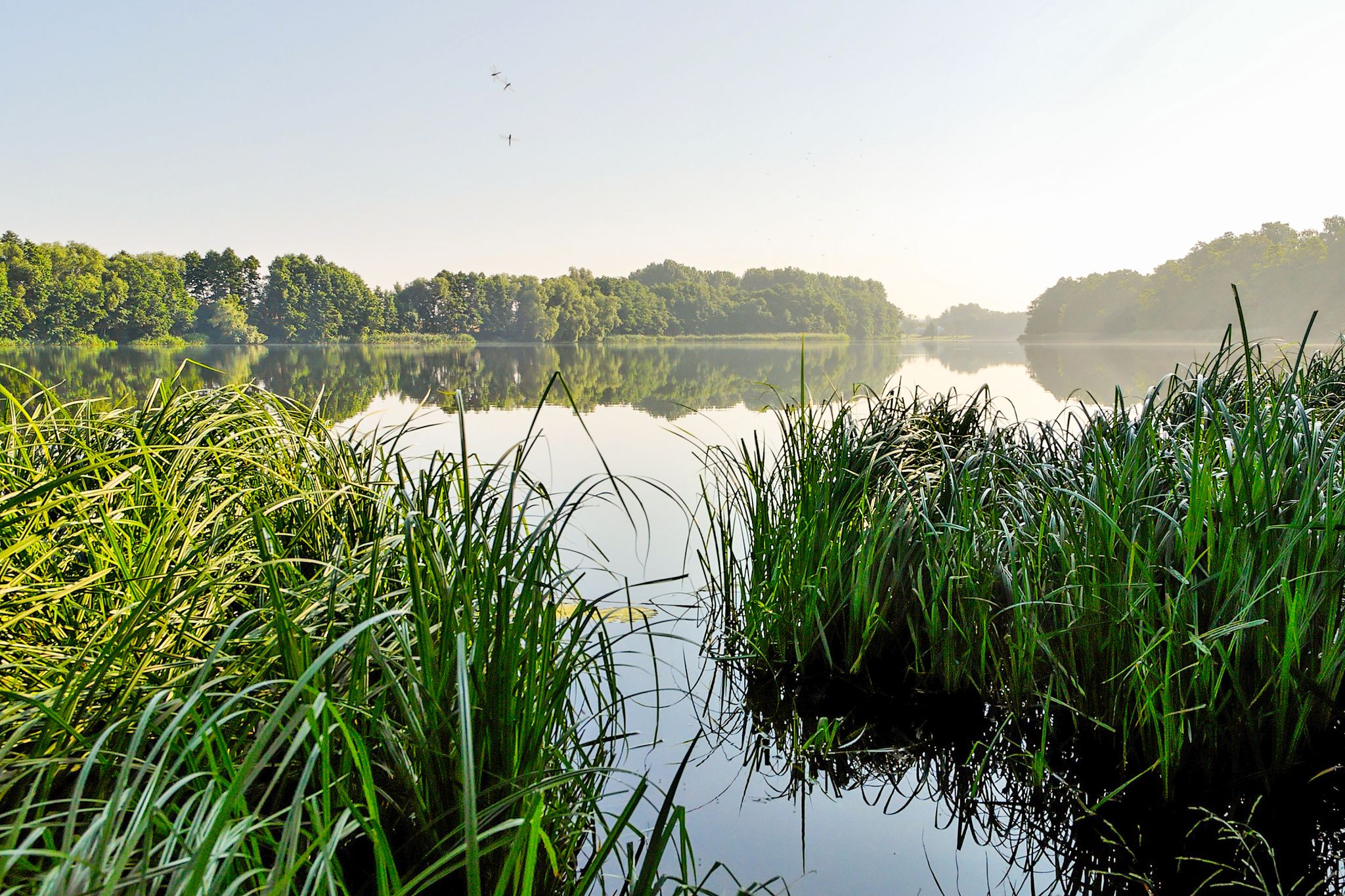
Great round around the lake. Very good path.
0
0
In summer, you should wear long trousers and bring insect repellent.
0
0
The paths are really well made around the lake.
0
0

Here you can still clearly recognize the visual axes of the landscape park and have a great view of the old trees.
0
0

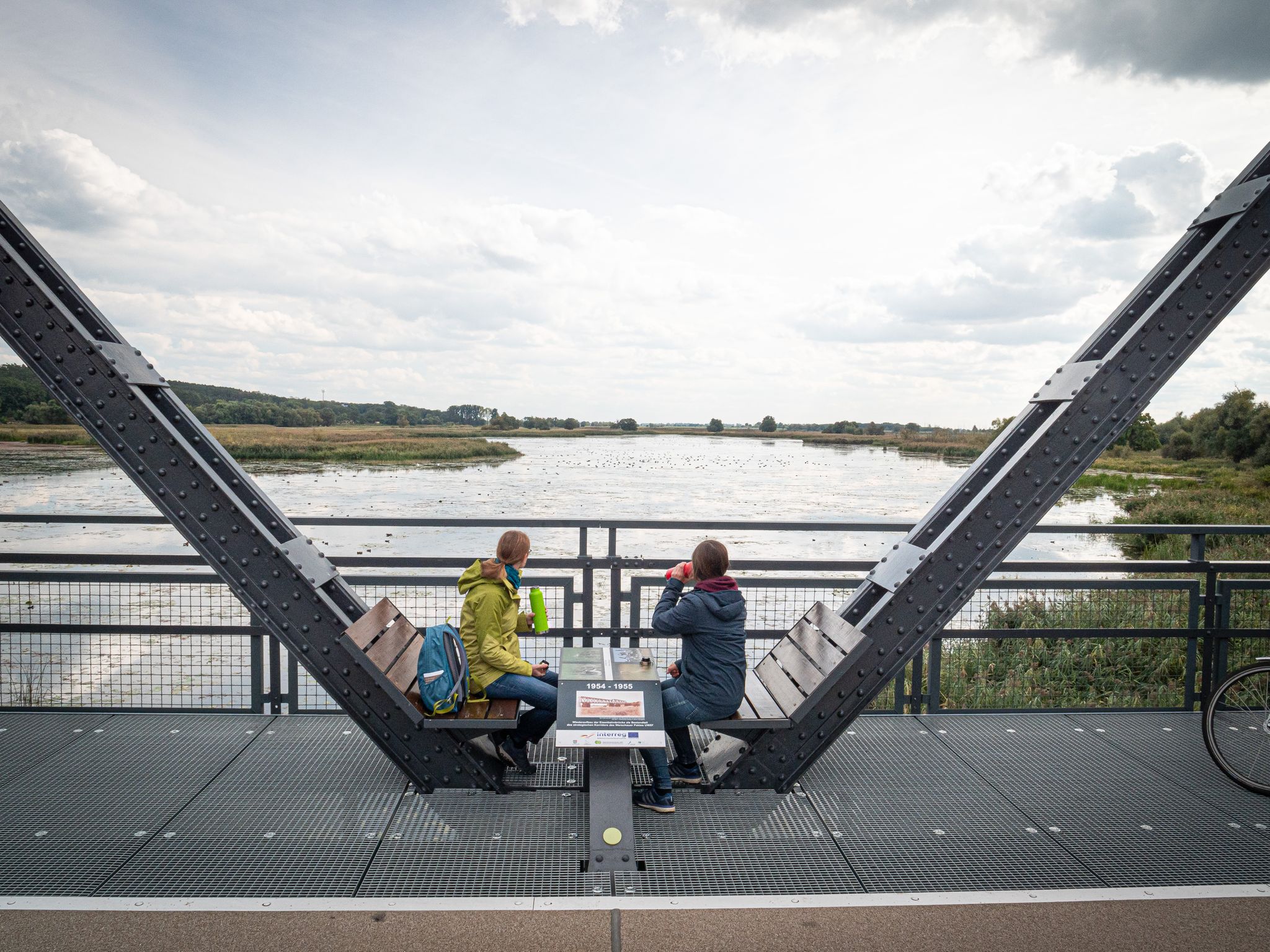
In winter, with snow and ice, this marshland has a mystical quality; the beaver dam and the trees felled by beavers add to the atmosphere. The boardwalk without railings is quite an experience in ice and snow... think penguins! 😅 In my opinion, the circular path around Lake Madlitz is not suitable for people with mobility impairments! Also, watch out for holes in the ground.
0
0

Frequently Asked Questions
How many bus station hiking trails are available around Briesen (Mark)?
There are 16 bus-accessible hiking routes around Briesen (Mark) listed in this guide. These trails offer a variety of experiences, from easy strolls to more challenging long-distance hikes.
What kind of terrain can I expect on bus-accessible hikes in Briesen (Mark)?
The region around Briesen (Mark) is characterized by diverse landscapes, including dense forests, open fields, and picturesque waterways like the Spree River and the Biegener Hellen Lake Chain. Trails often feature gentle elevation changes, making them accessible for various fitness levels. You'll find paths winding through the Krumme Hölle – Blanke Hölle loop from Biegen, showcasing the area's natural beauty.
Are there any easy bus-accessible hikes suitable for beginners or families?
Yes, there are 4 easy bus-accessible routes. For a pleasant and less strenuous option, consider the Alt Madlitz Castle Park – Lake Madlitz loop from Alt Madlitz. This 6.8 km route is perfect for a relaxed outing, offering scenic views without significant elevation.
Can I find circular hiking routes that start and end at a bus stop?
Many of the bus-accessible routes around Briesen (Mark) are designed as circular walks, allowing you to return to your starting point without needing additional transport. An example is the Lake Madlitz – Madlitz Lake, East Shore loop from Alt Madlitz, which offers a moderate 10.9 km circuit.
What natural features or landmarks can I see along these bus-accessible trails?
The trails often lead through the scenic Schlaubetal Nature Park, past the winding Schlaube River, and alongside various lakes. You might encounter highlights such as the Scharmützelsee, or the historic Kersdorf Lock on the Oder-Spree Canal. The region's extensive forests and water features are central to the hiking experience.
Are there any longer or more challenging bus-accessible hikes?
For those seeking a more demanding experience, there are 3 difficult bus-accessible routes. The Black Lake – Burgsee loop from Alt Madlitz is a challenging 23.2 km hike, while the Village Church Biegen – Buschschleuse Nature Reserve loop from Biegen covers 20.7 km, both offering extensive exploration of the natural surroundings.
What do other hikers enjoy most about the bus-accessible trails in Briesen (Mark)?
The komoot community rates the hiking experiences around Briesen (Mark) highly, with an average score of 4.5 out of 5 stars from over 3,000 ratings. Hikers frequently praise the tranquil woodlands, the serene lake views, and the well-maintained paths that make exploring the natural beauty of the Schlaubetal Nature Park and surrounding areas so enjoyable.
Are there any places to stop for refreshments or rest along the bus-accessible routes?
While specific amenities vary by route, the region does offer some spots for rest. For example, you might find a hut like the WUPIS – Waldhaus Rosengarten Refreshment Stand or other shelters, particularly along longer trails or in popular areas. It's always advisable to check individual route details for specific refreshment options.
What is the best time of year to hike these bus-accessible trails?
Spring and autumn are highlighted as the best seasons to experience the beauty of the trails around Briesen (Mark). Spring brings fresh greenery and blooming flora, while autumn offers vibrant foliage. The mild weather during these seasons is ideal for comfortable hiking, though the diverse landscapes are enjoyable year-round.
Are there any historical sites or points of interest accessible from the bus station trails?
Yes, beyond natural beauty, you can encounter historical elements. A segment of the Brandenburg Jacobean Way, a historic pilgrimage route, passes through Briesen (Mark). Additionally, you might find sites like the Charcoal burner's site and Hille Bille, Groß Lindow, offering a glimpse into the region's past.
Most popular routes around Briesen (Mark)
Most popular attractions around Briesen (Mark)

Get inspired with the komoot mobile app


Explore more
Browse the best Hikes in other regions.
