The best traffic-free bike rides around Trossingen
4.4
(88)
849
riders
14
rides
No traffic road cycling routes around Trossingen are situated on the Baar plateau, nestled between the Black Forest and the Swabian Alps. This region features a diverse landscape of rolling hills, river valleys, and open plateaus, offering varied terrain for road cyclists. The area provides access to significant long-distance cycling routes like the Danube Cycle Path and Neckar Cycle Path, which often follow riverbeds away from main roads. Cyclists can expect routes that traverse agricultural lands, pass by small lakes,…
Last updated: July 11, 2026
3.0
(1)
19
riders
51.8km
02:10
350m
350m
Moderate road ride. Good fitness required. Some segments of this route may be unpaved and difficult to ride.
18
riders
28.3km
01:14
230m
230m
Easy road ride. Great for any fitness level. Mostly well-paved surfaces and easy to ride.

Sign up for free
12
riders
Moderate road ride. Good fitness required. Some segments of this route may be unpaved and difficult to ride.
9
riders
50.2km
02:31
350m
350m
Moderate road ride. Good fitness required. Some segments of this route may be unpaved and difficult to ride.
5.0
(3)
12
riders
Moderate road ride. Great for any fitness level. Some segments of this route may be unpaved and difficult to ride.
Get access to more routes and recommendations from other explorers.
Sign up for free
Already have an account?
Our route recommendations are based on thousands of hikes, rides, and runs completed by other people on komoot.
Start today with a free account
Your next adventure awaits.
Login or Signup
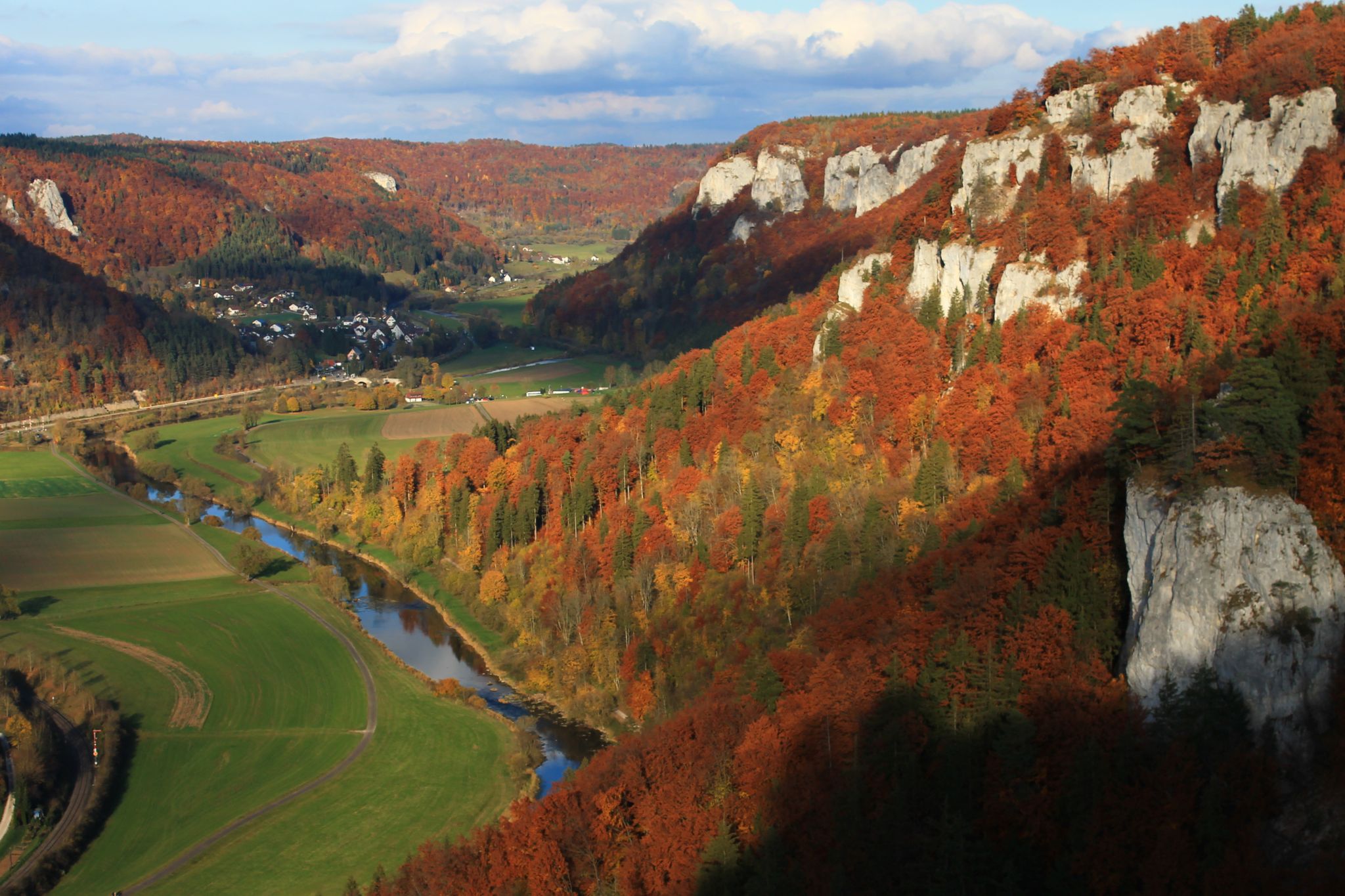
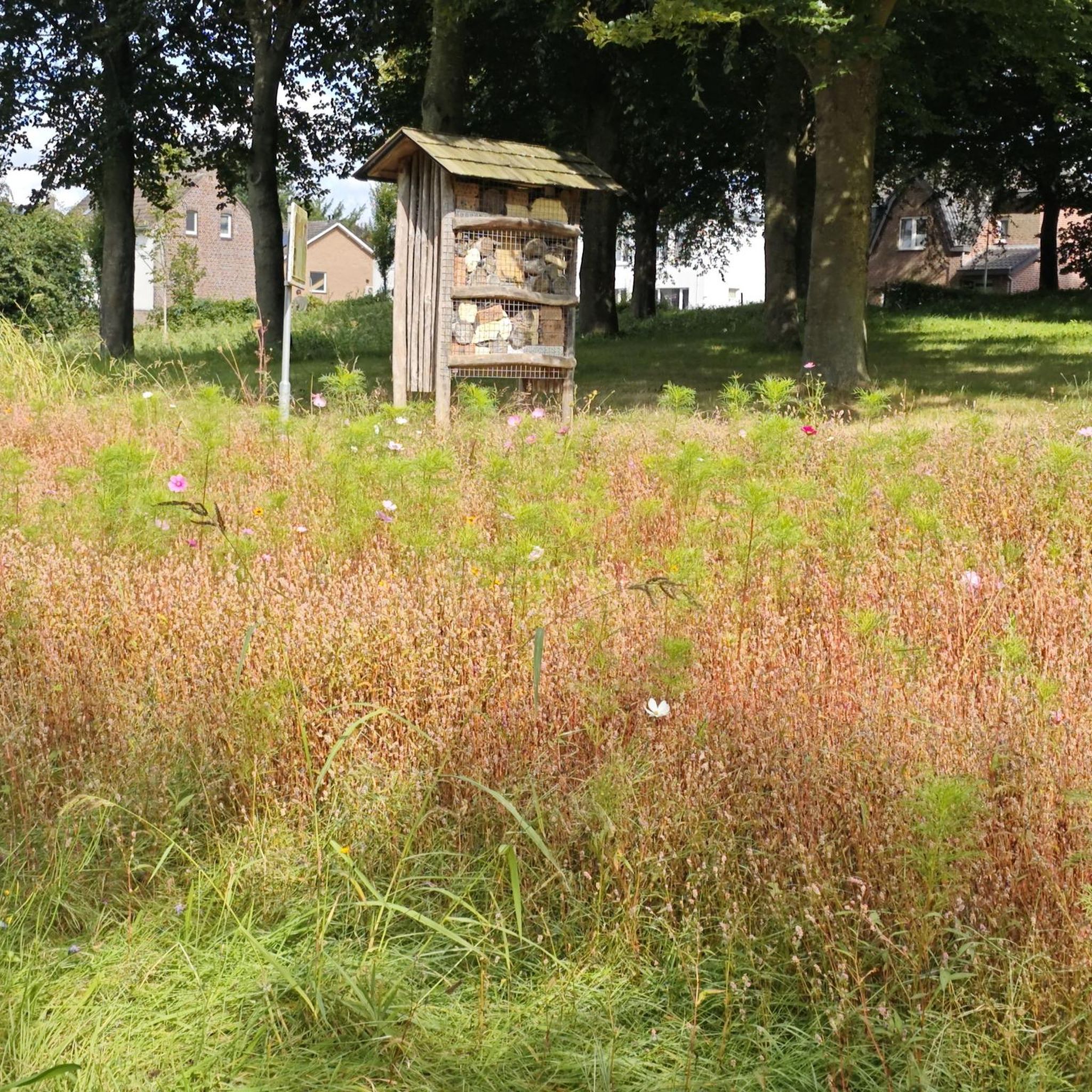
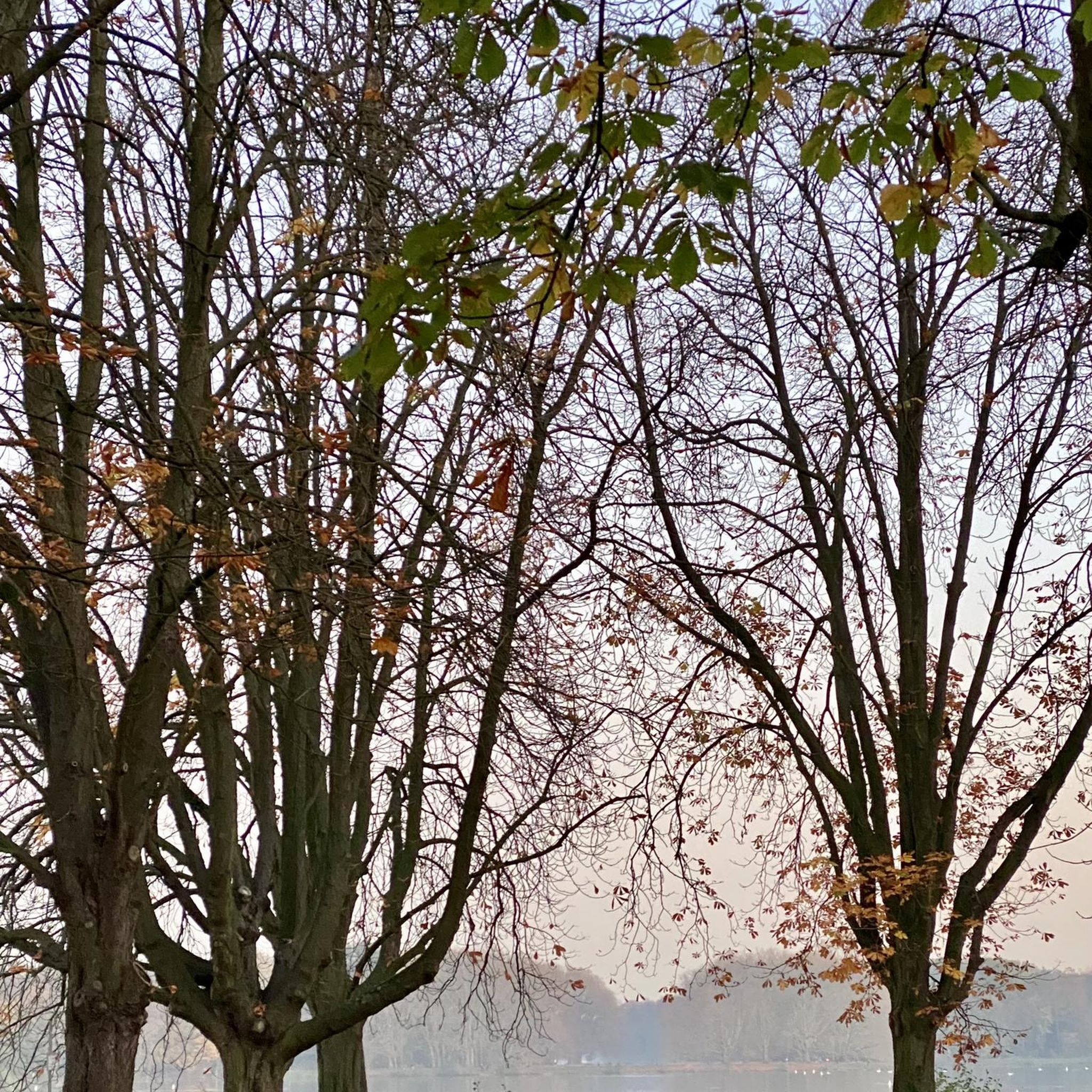
Other adventures around Trossingen

Tips from the Community

Confluence of Brigach and Breg. The trunk with carvings symbolizes the course of the Danube
0
0

Beautiful lake. However, swimming is forbidden.
3
0

Neudingen is the southernmost village in Germany located directly on the Danube. After the river originates in Donaueschingen from the confluence of the Brigach and Breg, it flows eastward and makes a distinctive bend south at Neudingen before continuing its course towards Tuttlingen.
0
0
The source of the Danube is a fascinating topic, especially because it cannot be pinpointed to a single location. For centuries, there has been a charming "rivalry" in the Black Forest about where the Danube truly begins.
0
0

Great surface, beautiful area and always close to the Danube
1
0

Here you can find almost boggy vegetation with marsh clover
1
0
https://www.gbp-architekten.de/projekte/projekt/neckartower.html As a "landmark," it includes student apartments, offices, conference rooms, etc.
1
0

The young Danube is very idyllic
0
0
Frequently Asked Questions
How many no-traffic road cycling routes are available around Trossingen?
There are 15 dedicated no-traffic road cycling routes around Trossingen featured in this guide. The wider region, nestled between the Black Forest and the Swabian Alps, offers over 170 cycling routes in total, providing a diverse range of options for road cyclists.
Are there easy no-traffic road cycling routes suitable for beginners or families?
Yes, there are easy no-traffic road cycling routes around Trossingen. For instance, the Sunthauser See – Riedwiesensee loop from Trossingen Stadt is an easy option, covering about 28 km with moderate elevation changes. The Baar plateau, where Trossingen is located, offers varied routes, including relaxed rides along riverbeds that are well-suited for less experienced riders.
What are the typical lengths and durations of these car-free cycling paths?
The no-traffic road cycling routes around Trossingen vary in length and duration. You can find routes ranging from approximately 28 km, like the Sunthauser See – Riedwiesensee loop which takes around 1 hour 15 minutes, to longer rides such as the Sunthauser Lake – View of the River and Hills loop at about 51 km, typically taking over 2 hours. This variety allows cyclists to choose a route that fits their available time and fitness level.
What is the best time of year to enjoy no-traffic road biking in Trossingen?
The months of June and July are particularly popular for cycling in the Trossingen region due to favorable weather conditions. However, the diverse terrain, including routes along the Neckar River, can be pleasant even in varied weather, making spring and early autumn also good choices for exploring the car-free paths.
Are there any scenic viewpoints or natural attractions along these routes?
Many routes offer access to scenic viewpoints and natural attractions. The region is situated between the Black Forest and the Swabian Alps, providing diverse landscapes. You might encounter views of the Baar plateau, or ride near natural monuments like the Eschachtal Valley or the Krähenbach Valley. The Lemberg Tower, though a climb, offers extensive views reaching the Alps on clear days.
Can I find loop routes for no-traffic road cycling around Trossingen?
Yes, many of the no-traffic road cycling routes around Trossingen are designed as loops, allowing you to start and end at the same point. Examples include the Sunthauser Lake – View over the Baar loop and the Trossingen Railway Museum – St. Gallus Church loop, which offer circular journeys through the landscape.
What do other road cyclists enjoy most about cycling in Trossingen?
The Trossingen area is highly rated by the komoot community, with an average score of 4.26 out of 5 stars from 78 ratings. Cyclists often praise the diverse terrain, from rolling hills to picturesque lakefronts, and the opportunity to explore routes with minimal traffic, allowing for a more peaceful and immersive experience in the beautiful Swabian Alb and Baar region.
Are there any challenging no-traffic road bike routes for experienced cyclists?
While many routes are moderate, the region's proximity to the Swabian Alps means there are options for more challenging rides with significant elevation changes. The Baar plateau itself offers routes that cater to different fitness levels, including more demanding ones for those seeking a workout. One route in this guide is rated as difficult, providing a good challenge.
What kind of landscapes can I expect to see on these routes?
You can expect a variety of landscapes, from picturesque lakefronts and rolling hills to more challenging ascents into higher elevations. The region is characterized by the Baar plateau, with its varied terrain, and is situated between the Black Forest and the Swabian Alb, offering idyllic juniper heaths, panoramic views, and routes along riverbeds like those near the Danube and Neckar.
Are there any historical or cultural landmarks accessible by these routes?
Trossingen, known as a 'music town,' and its surroundings offer several points of interest. You might pass by the Trossingen Railway Museum or the Pilgrimage Church on Trinity Mountain. The area also has a dinosaur excavation site and museums showcasing local history and dinosaur skeletons, offering a blend of natural and cultural exploration.
Are there any routes that connect to longer-distance cycle paths?
Trossingen's location makes it a gateway to significant long-distance cycling routes. It's close to the source of the Danube, allowing access to the iconic Danube Cycle Path. The Neckar Cycle Path, known for its scenic journey through nature, is also easily accessible from the Trossingen area, providing opportunities to extend your ride beyond the local loops.
Most popular routes around Trossingen
Most popular attractions around Trossingen

Get inspired with the komoot mobile app


Explore more
Browse the best Road cycling routes in other regions.
