The best traffic-free bike rides around Basdahl
5.0
(2)
17
riders
5
rides
Gravel biking around Basdahl offers access to diverse natural landscapes characterized by forests, nature reserves, and open fields. The region features a varied terrain with gentle elevation changes, suitable for exploring quiet backroads and unpaved surfaces. Riders can expect a blend of wooded paths and open countryside, with routes often traversing areas like the Franzhorn Forest. This environment provides a serene setting for no traffic gravel bike trails.
Best no traffic gravel bike trails around Basdahl
- The most popular no…
Last updated: July 11, 2026
5.0
(1)
4
riders
Easy gravel ride. Great for any fitness level. Mostly paved surfaces. Suitable for all skill levels.
3
riders
28.6km
01:47
130m
130m
Hard gravel ride. Great for any fitness level. You may need to push your bike for some segments of this route.

Sign up for free
2
riders
Easy gravel ride. Great for any fitness level. Mostly paved surfaces. Suitable for all skill levels.
3
riders
18.6km
01:02
40m
40m
Easy gravel ride. Great for any fitness level. Mostly paved surfaces. Suitable for all skill levels.
1
riders
Easy gravel ride. Great for any fitness level. Mostly paved surfaces. Suitable for all skill levels.
Our route recommendations are based on thousands of hikes, rides, and runs completed by other people on komoot.
Start today with a free account
Your next adventure awaits.
Login or Signup
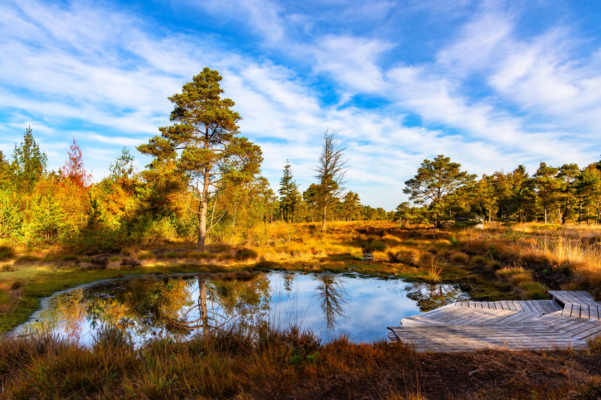
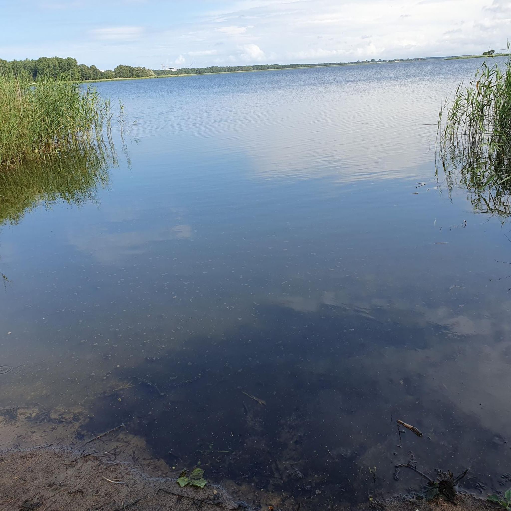
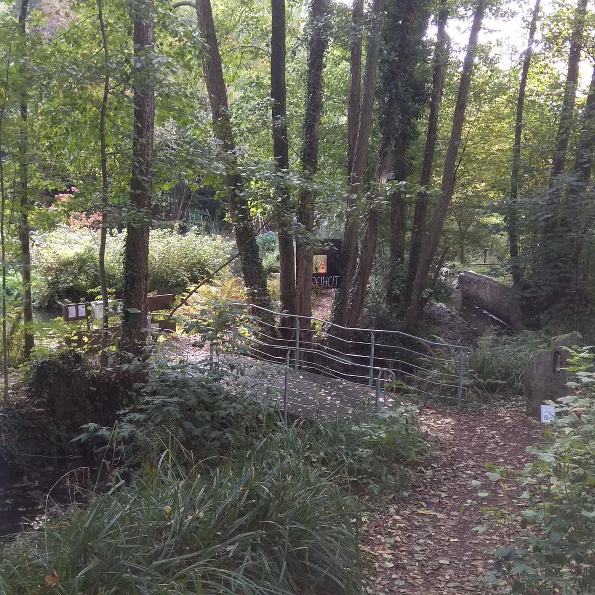
Other adventures around Basdahl

Tips from the Community

The name of Saint CHRISTOPHERUS, to whom this church in Oese is dedicated, translates to "Christ-bearer". According to the traditional legend of the saints, he was a giant-like man and carried people across a river. One day a small child called him, and he carried it on his shoulders to the other bank. Surprisingly, the child became heavier and heavier for him, and he said he felt as if the weight of the whole world was resting on his shoulders. Then the child revealed itself to him as Jesus Christ, the savior and redeemer of the world.
1
0

New weather station, currently even with a collector's stone. Three benches with a table are available, but the mountain is quite a sight for northern Germany. :-)
0
0

Take a break with a beautiful view of the floodplain. Or simply relax, breathe deeply, and enjoy the silence.
0
0

Few potholes and therefore easy to drive.
0
0

Whether in spring, summer, autumn or at Christmas time, there are many shelter and seating options on site. And with luck, you can watch a pair of storks breeding (March-August)
0
0

Revitalization of the Billerbeck Development goal The Billerbeck and the adjacent floodplain areas should develop into a natural habitat that is valuable for flora and fauna and typical of the natural area. The model for the stream is a natural and structurally rich Geest stream that can develop dynamically after its creation (taking water management concerns into account). The stream: The Billerbeck is an originally gravel-filled lowland stream and a tributary of the Lune with a length of around 11 km and a catchment area of around 41.33 km². Before the compensation measures were carried out, the Billerbeck was a straightened, deepened body of water that mainly ran in a standard profile and therefore had little structural diversity and hardly any plant growth in the water. The following measures were used to initially create the natural and diverse structure: -> relocation of the course of the water in a meander and creation of diverse water cross-sections > installation of gravel in sections as a natural bed substrate > installation of dead wood, base sills and flow guides to raise the bed and increase structural diversity > construction of sand traps to reduce harmful sand deposits in the stream > natural redesign of the Stubbengraben and Oldendorfer Bach tributaries. The floodplain area: In the floodplain area on both sides of the Billerbeck, a mosaic of different habitats is planned, each characterized by a high degree of moisture and low intensity of use or no use at all. The following habitat types are to be developed: mesophilic grassland, wet and wet grassland, moist to wet woodland, fallow land, reed beds and temporary and permanent still waters. As part of the construction work, still waters and clearings with different depths and woody plantings were created. Extensive use is also intended to create species-rich grassland habitats. In addition, fallow areas are planned that can develop without any use at all. The design and implementation plan for the measures was drawn up by the engineering group agwa GmbH from Hanover. The structural implementation was carried out by ARGE CSK Schlichtmann Kulturbau GmbH / Georg Grube GmbH, which also took care of the construction of these signs and the forest sofa.
0
0
Beverstedtermühlen watermill The Beverstedtermühlen watermill was built around 1850; its history, however, goes back to the Middle Ages. The mill belonged to the noble residence of the Lords of Beverstede, later to the Archbishop of Bremen's Beverstedtermühlen estate. It was located on the trade and postal route from Hagen to Bremervörde, which crossed the Lune here through a ford. This is probably where the town of Beverstedt originated. The milling operation was abandoned around 1950; in the 1970s the Lune was straightened and the mill pond filled in. The building fell into ruin until private initiative restored it to its original form. Today it houses a gallery for fine art with changing exhibitions. Internet: www.niedersaechsische-muehlenstrasse.de
0
0
Great for a short break, right on the way.
0
0
Frequently Asked Questions
How many traffic-free gravel bike trails are available in Basdahl?
There are several dedicated traffic-free gravel bike trails around Basdahl. This guide features 6 routes, ranging from easy to difficult, ensuring options for various skill levels.
What kind of terrain can I expect on Basdahl's gravel bike trails?
Basdahl's gravel bike trails offer a varied terrain, typical of Lower Saxony, including quiet forest paths, open fields, and routes alongside natural reserves. You'll encounter a mix of gravel, compacted earth, and some paved sections, perfect for gravel biking.
Are there any easy gravel bike routes suitable for beginners or families?
Yes, many of the routes are suitable for beginners and families. For an easy and scenic ride, consider the Hofcafé Sauhütte – Appelner Weg loop from Basdahl, which is just over 18 km long and features minimal elevation gain. Another great option is the View of the Billerbeck – Winding River and Forest Path loop from Holste.
What natural features or attractions can I see along the gravel bike trails?
The trails often lead through serene natural landscapes. You can explore areas like the Franzhorn Forest, known for its peaceful woodlands. Many routes also pass by beautiful lakes such as Vörder Lake and Wollingster Lake, offering picturesque views and opportunities for a break.
Are there any longer gravel bike routes for experienced riders seeking a challenge?
For those looking for a longer and slightly more challenging ride, the Osterwede – Barchel Village Idyll loop from Fahrendorf is a good choice. It spans over 28 km and includes more elevation changes, offering a rewarding experience through varied landscapes.
Can I bring my dog on the gravel bike trails in Basdahl?
Generally, dogs are welcome on most public trails in Basdahl, especially those passing through forests and open countryside. However, it's always recommended to keep your dog on a leash, especially near wildlife or in nature reserve areas, and to check local regulations for specific sections of the trail.
Are the gravel bike routes in Basdahl typically circular?
Yes, most of the gravel bike routes featured in this guide are designed as circular loops. This allows for convenient starting and ending points, often returning you to your initial parking or access point. Examples include the View of the Billerbeck – Winding River and Forest Path loop from Beverstedt and the Rest Area at Hohen Oerel – Small pond with sandy beach loop from Bremervörde.
Where can I park my car when starting a gravel bike tour in Basdahl?
Many of the routes start from villages or towns with public parking facilities. For example, tours starting from Basdahl itself, Beverstedt, Holste, Fahrendorf, or Bremervörde will have designated parking areas. It's advisable to check the specific tour details on komoot for recommended starting points and parking information.
What is the best time of year to go gravel biking in Basdahl?
The spring, summer, and early autumn months (April to October) are generally the best for gravel biking in Basdahl. During these seasons, the weather is more favorable, and the natural landscapes are at their most vibrant. Winter rides are possible, but trails might be muddy or icy, requiring appropriate gear.
Are there any places to stop for food or refreshments along the routes?
Yes, some routes pass through or near villages where you might find cafes or small eateries. For instance, the Hofcafé Sauhütte – Appelner Weg loop from Basdahl suggests a stop at a Hofcafé. It's always a good idea to carry snacks and water, especially on longer routes, as services might not be continuously available.
What do other gravel bikers enjoy most about Basdahl's traffic-free trails?
The komoot community highly rates the Basdahl area, with an average score of 5.0 stars. Riders often praise the tranquility of the traffic-free paths, the diverse natural scenery including forests and lakes, and the well-maintained gravel surfaces that make for an enjoyable and immersive cycling experience away from busy roads.
Most popular attractions around Basdahl

Get inspired with the komoot mobile app


Explore more
Browse the best Gravel rides in other regions.
