The best traffic-free bike rides around Steinmauern
4.6
(580)
8,560
riders
43
rides
No traffic road cycling routes around Steinmauern are primarily situated within the Rhine Plains, offering a predominantly flat to gently rolling terrain. The region is characterized by open landscapes, the Rhine River, and features like the Goldkanal quarry pond. While generally flat, some routes include slight elevation changes, providing varied experiences for road cyclists.
Best no traffic road cycling routes around Steinmauern
- The most popular no traffic road cycling route is Ascent to Ebersteinburg – Gewerbekanal Rastatt loop from Rastatt…
Last updated: July 11, 2026
5.0
(3)
38
riders
25.2km
01:16
350m
350m
Moderate road ride. Good fitness required. Mostly well-paved surfaces and easy to ride.
21
riders
Moderate road ride. Good fitness required. Mostly well-paved surfaces and easy to ride.

Sign up for free
5.0
(3)
14
riders
Easy road ride. Great for any fitness level. Mostly well-paved surfaces and easy to ride.
10
riders
52.7km
02:13
330m
330m
Moderate road ride. Good fitness required. Some segments of this route may be unpaved and difficult to ride.
13
riders
74.9km
03:24
700m
700m
Moderate road ride. Good fitness required. Some segments of this route may be unpaved and difficult to ride.
Get access to more routes and recommendations from other explorers.
Sign up for free
Already have an account?
Our route recommendations are based on thousands of hikes, rides, and runs completed by other people on komoot.
Start today with a free account
Your next adventure awaits.
Login or Signup
Popular around Steinmauern
Tips from the Community

The pretty chapel was built in the 13th century and is one of the oldest churches in the Murg valley and, with its octagonal half-timbered tower, a landmark of Bischweier. In the 19th century, it became too small for the growing Catholic community and was first used by the municipality and then from 1975 to 2024 by the Protestant community. The future use has not yet been decided.
7
0

The Sauer is a roughly 70 km long tributary of the Rhine. It originates in the Palatinate Forest near the German-French border. On its way, it flows through the Northern Vosges and partly forms the border between Germany and France. It then crosses Alsace before flowing into the Rhine at Munchhausen. The Sauer has a catchment area of about 800 km² and an average discharge of around 6 m³ per second.
0
0

The road from the Förcher Kreisel to Ebersteinburg is still closed. You can get through the village or the construction site by bike. You should take advantage of it and ride up while it's still closed and there are no cars.
0
0

Space to sit and play
0
1

beautiful landscape in Alsace
0
0

Crucifix with the Virgin Mary
4
0

The title says it all
0
0
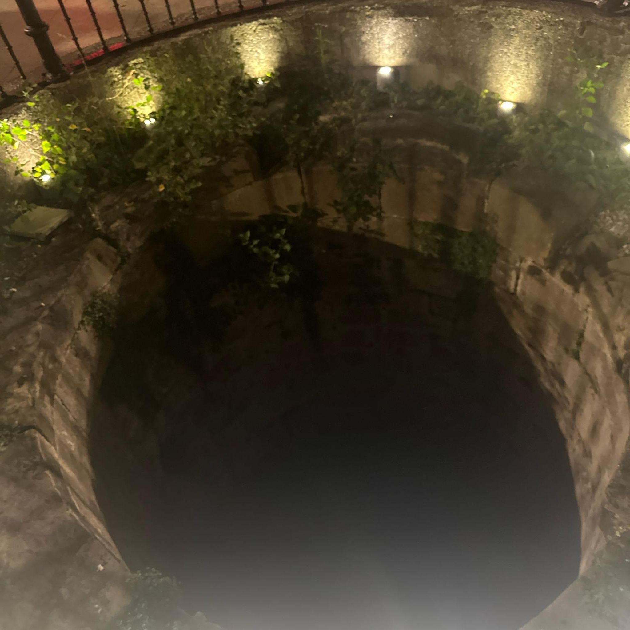
There is a small sign under the flower box: “no drinking water.”
0
0
Frequently Asked Questions
How many no-traffic road cycling routes are available around Steinmauern?
Komoot offers a selection of over 45 dedicated no-traffic road cycling routes in and around Steinmauern. These routes are specifically curated to provide a smooth and uninterrupted cycling experience, often utilizing car-free paths like sections of the Rhine Cycle Path.
What kind of terrain can I expect on the no-traffic road cycling routes in Steinmauern?
The region around Steinmauern, situated in the Rhine Plains, offers predominantly flat to gently rolling terrain. This makes it ideal for road cycling, with routes featuring well-paved surfaces and slight elevation changes that keep rides engaging without being overly strenuous. You'll find picturesque, open landscapes perfect for long-distance cycling.
Are there easy, family-friendly no-traffic routes suitable for beginners?
Yes, Steinmauern has several easy no-traffic road cycling routes perfect for beginners or families. For example, the St. Antonius Chapel – Cycle path near Au am Rhein loop from Elchesheim-Illingen is an easy route with minimal elevation, offering a relaxed ride through scenic areas.
Can I find circular no-traffic road bike routes in the area?
Many of the no-traffic road cycling routes around Steinmauern are designed as circular loops, allowing you to start and end at the same point without retracing your steps. This is ideal for exploring different parts of the region efficiently. The View of the Murg River loop from Bietigheim is a great example of a moderate circular route.
What natural features or landmarks can I see along these routes?
You can discover a variety of natural features and historical landmarks. The routes often pass by the picturesque Rhine Plains, the Quarry Pond 'Goldkanal', and offer views of the nearby Sauer Delta Nature Reserve. For historical interest, consider routes that pass near attractions like Rastatt Palace or Favorite Palace Park.
Is there a unique attraction accessible by bike that crosses the Rhine?
Yes, the Seltz-Plittersdorf Cable Ferry is a unique attraction that crosses the Rhine without an engine, using only the river's current. It can transport up to 28 bicycles, offering an interesting diversion and a way to explore routes on both sides of the river. The forecourt also has a snack bar for a break.
What is the best time of year to enjoy no-traffic road cycling in Steinmauern?
The months of June and July are particularly popular for cycling in Steinmauern, offering pleasant weather conditions. However, the region's generally mild climate in the Upper Rhine Valley makes spring and early autumn also excellent times to explore the no-traffic routes.
Where can I park my car to access the no-traffic road cycling routes?
Many routes start from towns like Rastatt or Elchesheim-Illingen, where public parking options are generally available. For instance, the Ascent to Ebersteinburg – Gewerbekanal Rastatt loop from Rastatt starts from Rastatt, which typically has parking facilities for visitors.
Are there any cafes or places to stop for a break along the no-traffic routes?
Yes, many routes are designed to pass through or near charming villages and towns where you can find cafes, bakeries, or small restaurants. The Pamina-Rheinpark, which many routes traverse, is noted for having numerous benches for breaks to take in the scenery, and the Seltz-Plittersdorf Cable Ferry forecourt also has a snack bar.
What do other cyclists enjoy most about the no-traffic road cycling in Steinmauern?
The no-traffic road cycling routes around Steinmauern are highly rated by the komoot community, with an average score of 4.65 stars. Reviewers often praise the well-paved, car-free sections, especially parts of the Rhine Cycle Path, for being perfect for racing bikes and offering a peaceful, uninterrupted riding experience through beautiful landscapes.
Are there longer, more challenging no-traffic road cycling routes available?
While many routes are flat, there are options for more experienced riders seeking longer distances and moderate elevation gains. Routes like the Hermerswiller – Seebach Town Hall loop from Munchhausen offer a significant distance and moderate elevation, providing a good challenge while maintaining a focus on low-traffic roads.
Most popular routes around Steinmauern
Most popular attractions around Steinmauern

Get inspired with the komoot mobile app


Explore more
Browse the best Road cycling routes in other regions.
