The best traffic-free bike rides around Dahlheim
4.5
(373)
4,291
riders
3
rides
No traffic road cycling routes around Dahlheim are situated within Germany's Rhein-Lahn district, offering a landscape characterized by the Middle Rhine Valley, a UNESCO World Heritage site. The region features natural rock formations, the winding Rhine River, and steep hillsides that provide challenging climbs. Road cyclists can expect diverse terrain, including sections of the Rhine Gorge, which contribute to the area's scenic appeal.
Best no traffic road cycling routes around Dahlheim
- The most popular no traffic road cycling route is…
Last updated: July 11, 2026
4.8
(31)
250
riders
59.1km
02:32
500m
500m
Moderate road ride. Good fitness required. Mostly well-paved surfaces and easy to ride.
10
riders
Moderate road ride. Good fitness required. Mostly well-paved surfaces and easy to ride.

Sign up for free
5
riders
25.3km
01:16
300m
300m
Moderate road ride. Great for any fitness level. Some segments of this route may be unpaved and difficult to ride.
4
riders
33.1km
01:43
550m
540m
Moderate road ride. Good fitness required. Mostly well-paved surfaces and easy to ride.
1
riders
54.7km
02:50
860m
870m
Moderate road ride. Good fitness required. Some segments of this route may be unpaved and difficult to ride.
Our route recommendations are based on thousands of hikes, rides, and runs completed by other people on komoot.
Start today with a free account
Your next adventure awaits.
Login or Signup
Popular around Dahlheim
Tips from the Community

Start at the Zapp in Emmelshausen
0
0
A good opportunity to take a break
0
0
Start or end point in Emmelshausen
0
0

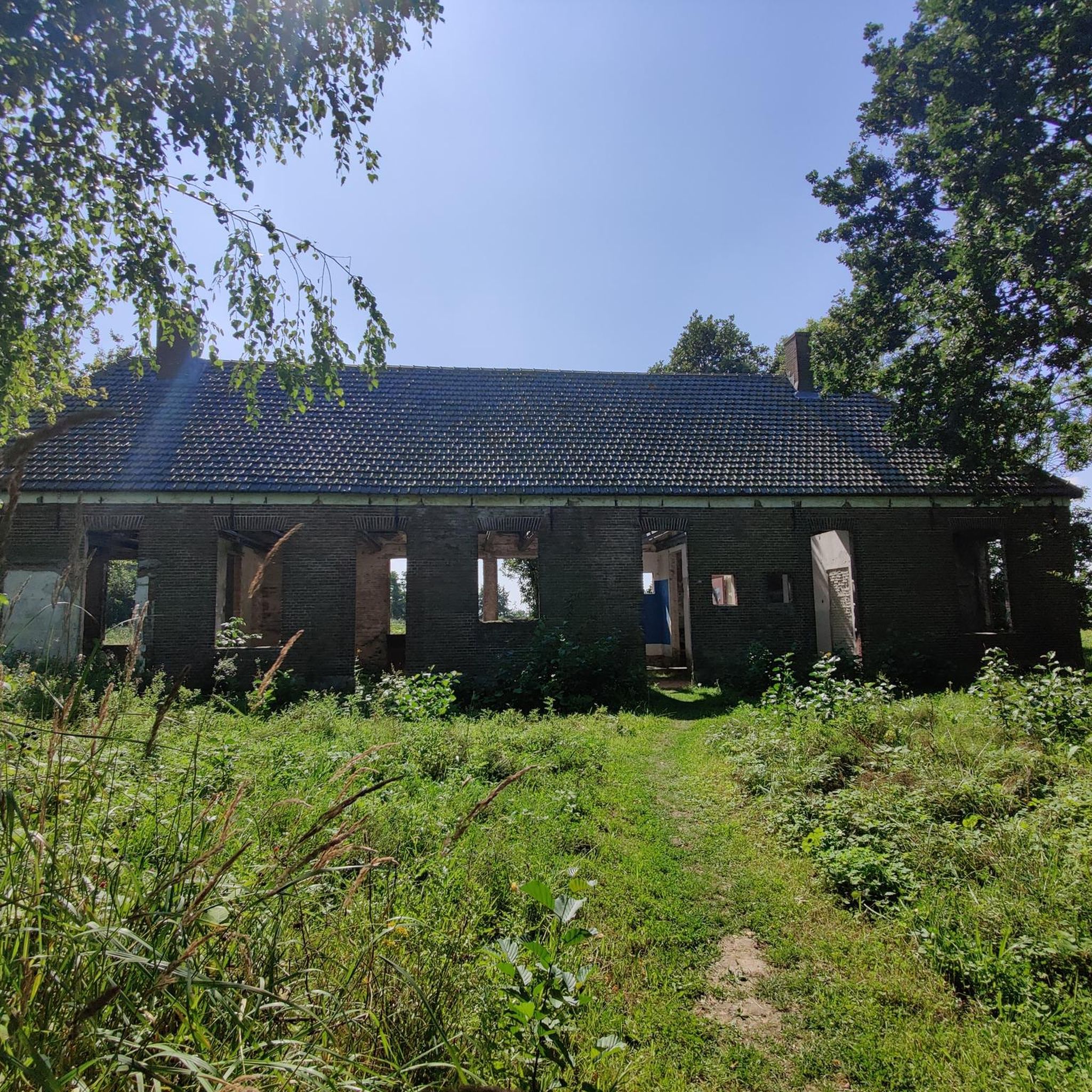
From here it is easy to see why the Romans chose the hill near Pohl as the location for the small fort.
0
0
Part of the cycle path before Lingerhahn
0
0

Nice little rest stop for food and drinks on a bike tour along the Schinderhannes cycle path
1
0
Beautiful cycle path that leads from Emmelshausen to Simmern. Very easy to ride.
0
0
Frequently Asked Questions
How many dedicated no traffic road cycling routes are available around Dahlheim?
There are 4 dedicated no traffic road cycling routes listed in this guide for the Dahlheim area. These routes offer a range of distances and elevations, catering to moderate to difficult skill levels.
What is the general difficulty level of no traffic road cycling routes near Dahlheim?
The no traffic road cycling routes around Dahlheim are generally rated as moderate to difficult. Cyclists can expect challenging climbs and rewarding descents, typical of the scenic Middle Rhine Valley landscape. For example, the View of the Marksburg – Braubach Old Town loop from Braubach is classified as difficult, featuring over 1000 meters of elevation gain.
What kind of landscapes and views can I expect on these no traffic road cycling routes?
Cyclists can anticipate dramatic landscapes and panoramic views of the UNESCO World Heritage Middle Rhine Valley. Routes often feature steep hillsides, the winding Rhine River, and the impressive Rhine Gorge. You'll experience a blend of natural rock formations and lush valleys, providing a truly scenic ride.
Are there any historical landmarks or attractions along the no traffic road cycling routes?
Yes, the region is rich in history. You can cycle past or near impressive sites like Marksburg Castle, a well-preserved medieval fortress. The View of the Marksburg – Braubach Old Town loop from Braubach offers direct views of this historic landmark. The broader Middle Rhine Valley also features numerous other castles and charming villages.
Can I find viewpoints of the famous Loreley Rock on these routes?
While the routes in this guide don't directly pass the Loreley Rock, the region is known for its stunning viewpoints. You can find a notable viewpoint, the View of the Loreley from Spitznack, which offers an iconic perspective of the legendary slate rock in the Upper Middle Rhine Valley.
What do other cyclists say about road cycling in Dahlheim?
The komoot community highly rates the cycling experience in this area, with an average score of 4.55 stars from over 350 ratings. Reviewers often praise the challenging terrain, the stunning views of the Rhine Valley, and the opportunity to explore historical sites while enjoying traffic-free sections.
Are there any circular no traffic road cycling routes available?
Yes, all the no traffic road cycling routes listed in this guide are circular. For example, the Schinderhannes Cycle Path – Pfalzfeld Railway Station loop from Ehr is a popular option, offering a 59 km loop with moderate difficulty.
What is the longest no traffic road cycling route in this guide?
The longest no traffic road cycling route featured in this guide is the Schinderhannes Cycle Path – Pfalzfeld Railway Station loop from Ehr, covering approximately 59 kilometers with an elevation gain of over 500 meters.
Are there any shorter or less demanding no traffic road cycling options for beginners?
While all routes in this guide are rated moderate to difficult, the St. Mary’s Church, Marienfels – Limes Fort Pohl loop from Geisig is the shortest at approximately 25.6 kilometers and features the least elevation gain (around 300 meters), making it a relatively more accessible option among the listed routes.
Can I find places to eat or rest along these routes?
The region features charming villages and towns along the Rhine, which often offer cafes, pubs, and restaurants. For instance, the Pfalzfeld Railway Station – Gleis 3 Café & Restaurant loop from Niederburg specifically mentions a café and restaurant, suggesting opportunities for refreshment stops.
What is the best time of year for no traffic road biking around Dahlheim?
The Middle Rhine Valley is beautiful throughout the warmer months. Spring and autumn offer pleasant temperatures and vibrant scenery, making them ideal for cycling. Summer can also be great, but it's advisable to start earlier in the day to avoid the midday heat on challenging climbs.
Most popular attractions around Dahlheim

Get inspired with the komoot mobile app


Explore more
Browse the best Road cycling routes in other regions.
