The best traffic-free bike rides around Eiterfeld
4.7
(743)
2,196
riders
47
rides
No traffic touring cycling routes around Eiterfeld traverse a picturesque low mountain range landscape, characterized by rolling hills, lush forests, and expansive meadows. The region is situated within the "Hessian Kegelspiel," an area known for its distinctive basalt summits that contribute to unique geological formations and scenic vistas. The broader Rhön region further enhances the area's appeal with its open, sweeping landscapes, providing diverse terrain for touring cyclists.
Best no traffic touring cycling routes around Eiterfeld
- The most popular no…
Last updated: October 14, 2026
4.7
(26)
66
riders
Moderate bike ride. Good fitness required. Mostly paved surfaces. Suitable for all skill levels.
4.6
(22)
52
riders
34.2km
02:13
300m
300m
Moderate bike ride. Good fitness required. Mostly paved surfaces. Suitable for all skill levels.

5.0
(6)
46
riders
Moderate bike ride. Good fitness required. Mostly paved surfaces. Suitable for all skill levels.
4.6
(10)
28
riders
28.1km
01:53
430m
430m
Moderate bike ride. Good fitness required. Mostly paved surfaces. Suitable for all skill levels.
4.6
(8)
16
riders
34.4km
02:08
350m
350m
Moderate bike ride. Good fitness required. Mostly paved surfaces. Suitable for all skill levels.
Get access to more routes and recommendations from other explorers.
Already have an account?
Our route recommendations are based on thousands of hikes, rides, and runs completed by other people on komoot.
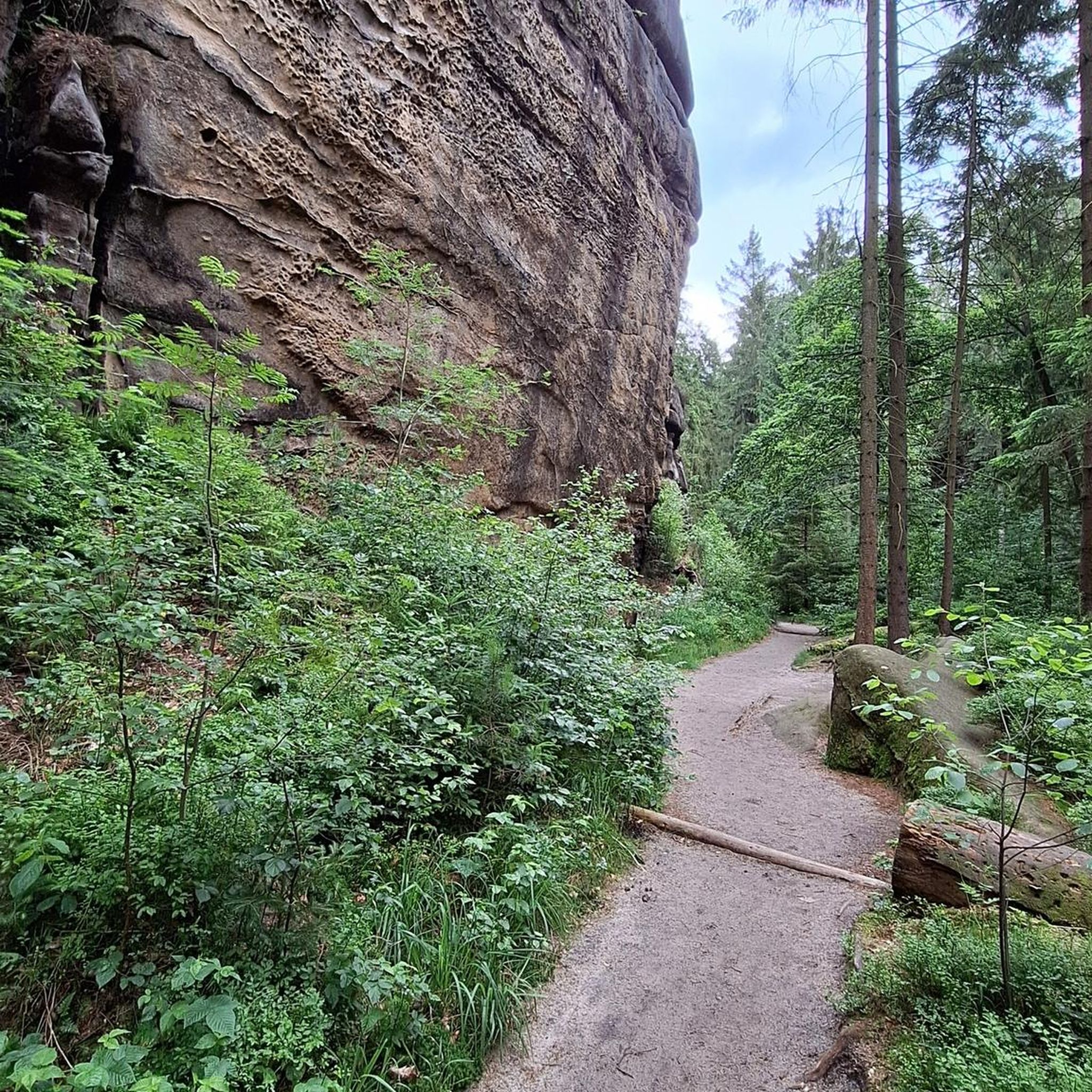
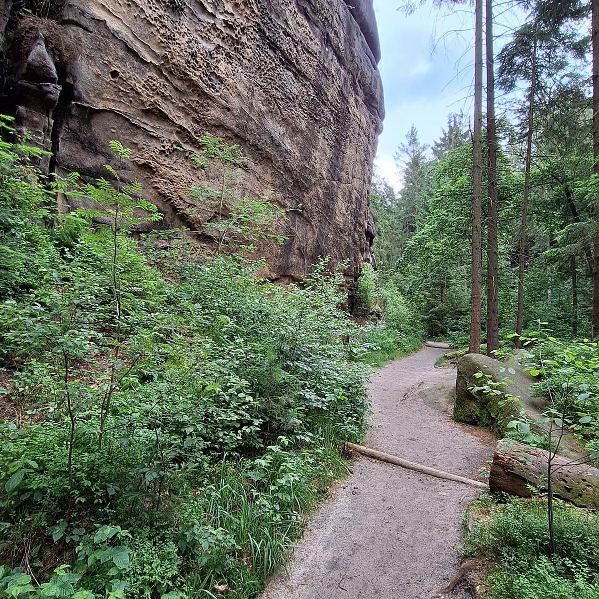
Tips from the Community


Here you can enjoy a small snack in the shade of the trees.
0
0

Magnificently laid out shelter with a beautiful panoramic bench and a service station for bicycles.
0
0

New since 2026, there is a service station directly at the refuge where you can carry out minor repairs on your bike, as well as finally a waste container.
1
0
The church's origins date back to the 15th century. The simple building was renovated several times before its demolition in 1930. The last service took place in January 1930, followed by the laying of the foundation stone for the new building, which was consecrated in August. The hall church, with its steeple extending into the nave and supporting an octagonal tent roof between battlements, is built in the style of a fortified church. The Pietà from the 1735 altar has been preserved. The wooden figures of St. Valentine and St. Pantaleon come from an altar of the Fourteen Holy Helpers from the early 16th century. On the back wall of the galleries is a depiction of St. Christopher. Also visible are statues of Mary, St. Joseph, and St. Elizabeth. (Source: Wikipedia)
1
0

This beautiful place should definitely be included as a rest stop on a tour
1
0
small shelter for 2 people, looks cute
1
0
Frequently Asked Questions
How many traffic-free touring cycling routes are available around Eiterfeld?
Eiterfeld offers a comprehensive network of paths, with over 200 cycle routes in the broader area. This specific guide focuses on 50 carefully selected traffic-free touring cycling routes, catering to various preferences and fitness levels.
What is the best time of year to go touring cycling in Eiterfeld?
May and August are particularly popular months for cycling in Eiterfeld due to favorable weather conditions. However, the region's picturesque landscapes are enjoyable throughout the spring, summer, and early autumn.
Are there any easy, traffic-free routes suitable for beginners or families?
Yes, among the 50 traffic-free routes, 11 are classified as easy, making them ideal for beginners or families. These routes often utilize former railway lines, providing gentle gradients and smooth surfaces. The St. Georg Church, Wenigentaft – Großentaft Old Railway Station loop from Unterufhausen is a moderate option that offers a relatively gentle experience.
What kind of terrain can I expect on these no-traffic cycling routes?
The region features an idyllic low mountain range landscape with rolling hills, lush forests, and expansive meadows. Many traffic-free routes, such as parts of the ADAC Border Route, cleverly utilize former railway lines, offering unique segments with gentle gradients. You'll also encounter the distinctive basalt summits of the Hessian Kegelspiel.
What interesting natural features or landmarks can I see along the routes?
Eiterfeld's routes offer a variety of natural and historical highlights. You might encounter the notable geological formations of the Lange Steine, or enjoy panoramic views from the Soisberg observation tower. The broader Rhön region also adds sweeping landscapes. For specific points of interest, consider visiting Ulmenstein Basalt Lake or the Haselsee.
Are there any circular traffic-free touring routes in Eiterfeld?
Yes, many of the traffic-free routes are designed as loops, allowing you to start and end at the same point. For example, the Grüsselbach – Bornmühle Pond (Rasdorf) loop from Fürsteneck is a popular moderate circular option, as is the View of Burghaun – Hasel Lake loop from Eiterfeld.
Can I combine these routes with other major cycle paths?
Absolutely. Eiterfeld is well-connected to several major cycle paths. The Kegelspiel Cycle Path connects Hünfeld to Wenigentaft, and the Solztal Cycle Route (R7) and Haunetal Cycle Route link various points of interest. You're also conveniently located near the Fulda Cycle Path (R1), which offers predominantly flat terrain suitable for leisure cyclists and families.
What do other touring cyclists say about the routes in Eiterfeld?
The touring cycling routes around Eiterfeld are highly rated by the komoot community, with an average score of 4.7 stars from over 570 reviews. Reviewers often praise the quiet, traffic-free nature of the paths, the scenic beauty of the Hessian Kegelspiel, and the well-maintained surfaces, especially along the repurposed railway lines.
Are there any specific routes that feature historical sites or unique structures?
Yes, the region is rich in history. The Großentaft Old Railway Station – Hessian Kegelspiel loop from Arzell offers a glimpse into the area's railway heritage. Additionally, the Klausmarbach Viaduct, a former railway bridge, has been repurposed into a scenic bike path, providing a distinctive cycling experience and a pleasant spot for rest and viewing.
Are there any viewpoints or places to rest along the traffic-free routes?
Many routes offer scenic viewpoints, particularly from the rolling hills and basalt summits. The Soisberg mountain features an observation tower with panoramic views. You can also find shelters and huts like the Lautenhausen Shelter and Forest Fountain or the Oechsenberg Hut, which provide ideal spots for a break.
Can I find routes that pass by lakes or water features?
Yes, several routes incorporate beautiful water features. The Kegelspiel Cycle Path – Grüsselbach loop from Arzell can lead you near tranquil ponds. The region also boasts notable lakes such as Haselsee and the Ulmenstein Basalt Lake, offering refreshing stops along your journey.
Most popular attractions around Eiterfeld

Get inspired with the komoot mobile app


Explore more
Browse the best Cycling routes in other regions.
