The best traffic-free bike rides around Mahlberg
4.5
(405)
2,310
riders
36
rides
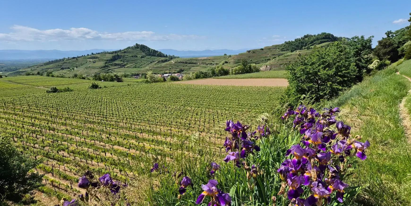
No traffic touring cycling routes around Mahlberg are situated in western Baden-Württemberg, Germany, offering diverse landscapes for cyclists. The region features the foothills of the Black Forest to the east, characterized by vineyards, orchards, and mixed forests. To the west, the expansive Upper Rhine Plain provides flatter paths, with the Elz River adding to the scenic environment. This varied terrain offers a range of cycling experiences, from riverside paths to routes with moderate inclines.
Best no traffic touring cycling routes…
Last updated: October 14, 2026
4.6
(28)
150
riders
37.1km
03:05
570m
570m
Hard bike ride. Very good fitness required. You may need to push your bike for some segments of this route.
4.0
(4)
28
riders
Hard bike ride. Good fitness required. You may need to push your bike for some segments of this route.

5.0
(5)
21
riders
36.7km
02:13
50m
50m
Moderate bike ride. Good fitness required. Mostly paved surfaces. Suitable for all skill levels.
4.5
(2)
12
riders
Moderate bike ride. Good fitness required. Mostly paved surfaces. Suitable for all skill levels.
5.0
(2)
16
riders
13.3km
00:48
30m
30m
Easy bike ride. Great for any fitness level. Mostly paved surfaces. Suitable for all skill levels.
Get access to more routes and recommendations from other explorers.
Already have an account?
Our route recommendations are based on thousands of hikes, rides, and runs completed by other people on komoot.
Start today with a free account
Your next adventure awaits.
Other adventures around Mahlberg

Tips from the Community

Beautiful nature, calm, pleasant cycle paths
0
0


The Taubergießen nature reserve is a roughly 1,700-hectare floodplain and wetland area on the Upper Rhine between Freiburg and Offenburg. It consists of oxbow lakes, meadows, and riparian forests and is one of the largest and most ecologically valuable protected areas in Baden-Württemberg. The area is a habitat for many rare animal and plant species and is ideal for nature observation, hiking, and guided boat trips. 🌿🦆
0
0

An absolute natural idyll. Absolutely beautiful!!
1
0


Closed, no access available. Interesting point along the way.
0
0


Frequently Asked Questions
What kind of terrain can I expect on the no-traffic touring cycling routes around Mahlberg?
The Mahlberg region offers a diverse cycling experience. To the east, routes venture into the foothills of the Black Forest with picturesque vineyards, orchards, and mixed forests, often featuring moderate inclines. To the west, the Upper Rhine Plain provides flatter, wider paths. Many routes incorporate wide paths, gravel sections, and forest trails, ensuring a varied and engaging ride away from vehicle traffic.
Are there any easy, traffic-free touring cycling routes suitable for beginners in Mahlberg?
Yes, Mahlberg offers a good selection of easier routes. There are 16 easy touring cycling routes that are traffic-free, perfect for beginners or those looking for a relaxed ride. These routes typically feature less elevation gain and smoother surfaces.
What are some notable natural features or viewpoints I can discover along these routes?
The region is rich in natural beauty. You can explore the striking contrast between the Black Forest foothills and the Rhine Plain. Highlights include the Taubergießen Floodplain, a significant nature reserve, and the Elzwehr near Wittenweier. For panoramic views, consider routes that pass by the Hünersedel Observation Tower and Grill Area, offering expansive vistas of the surrounding landscape.
Are there any family-friendly, traffic-free cycling options in Mahlberg?
Many of the easy and moderate routes are suitable for families, especially those on the flatter paths of the Upper Rhine Plain. The region's focus on no-traffic routes makes it safer for families. For example, the Rhine-side routes following the Leopold Canal offer wide, partly gravel, and forest paths that are generally suitable for most bikes and skill levels.
Can I bring my dog on the traffic-free touring cycling routes?
While specific dog-friendly designations for each route are not always available, many of the forest trails and wider paths away from traffic are generally suitable for cycling with dogs, provided they are well-behaved and kept on a leash where necessary. Always check local regulations for nature reserves or specific areas you plan to visit.
What is the best time of year to go touring cycling in Mahlberg?
Mahlberg benefits from one of Germany's warmest climates, with mild summers and cool winters. This makes it pleasant for outdoor pursuits for much of the year. Spring and autumn offer comfortable temperatures and beautiful scenery, while summer provides longer daylight hours. Always check the local weather forecast before heading out.
Are there any circular touring cycling routes available?
Yes, many of the traffic-free touring cycling routes around Mahlberg are designed as loops. For instance, the "Legends and Myths of Ortenau" project features 30 circular routes. An example is the Elzwehr near Wittenweier – Rhine Cycle Path loop from Orschweier, which offers a substantial circular ride.
What historical attractions or landmarks can I see while cycling in the Mahlberg area?
Beyond the natural landscapes, the Mahlberg area has historical points of interest. You can cycle past the impressive Hohengeroldseck Castle Ruins. The town of Mahlberg itself features the 16th-century Mahlberg Castle and a Renaissance-style town hall, which can be explored before or after your ride.
How long are the traffic-free touring cycling routes around Mahlberg?
The routes vary significantly in length to suit different preferences. You'll find routes ranging from shorter, easier rides to longer, more challenging tours. For example, the View Over Streitberg – Pflingsteck Viewpoint loop from Orschweier is around 36.6 km, while the Helgenstöckle Chapel – Ettenheim Hut loop from Orschweier is approximately 35.8 km.
What do other touring cyclists enjoy most about the traffic-free routes in Mahlberg?
The area is highly rated by the komoot community, with an average score of 4.56 stars. Reviewers often praise the peacefulness of the traffic-free paths, the varied scenery ranging from Black Forest foothills to the Rhine Plain, and the well-maintained trails that cater to different skill levels. The opportunity to explore both natural beauty and historical sites is also frequently highlighted.
Are there any cafes or places to stop for refreshments along the traffic-free routes?
While specific cafes on every route are not listed, the region is known for its hospitality. Many routes pass through or near charming villages and towns where you can find local eateries, cafes, and opportunities to savor local specialties and Baden wine. Planning your route with komoot allows you to identify potential stops along the way.
How can I access the traffic-free cycling routes using public transport?
Mahlberg's location within western Baden-Württemberg provides access to regional public transport networks. While direct access to every trailhead via public transport might vary, major towns and villages often have bus or train connections. It's advisable to check local public transport schedules and bike carriage policies for specific routes and starting points.
Most popular attractions around Mahlberg

Get inspired with the komoot mobile app


Explore more
Browse the best Cycling routes in other regions.
