The best hikes from bus stations around Lollar
4.6
(6966)
27,811
hikers
52
hikes
Bus station hiking trails around Lollar offer access to diverse landscapes characterized by the Lahn River valley, rolling hills, and significant natural reserves. The region features a mix of floodplains, dense forests, and idyllic valleys like the Salzbödetal. Hikers can explore varied terrain, from gentle riverside paths to routes with moderate elevation changes.
Best bus station hiking trails around Lollar
- The most popular bus station hiking route is Café Schönemühle – Weir of the Salzböde loop from Lollar, a…
Last updated: June 27, 2026
4.6
(52)
179
hikers
8.56km
02:12
40m
40m
Moderate hike. Good fitness required. Easily-accessible paths. Suitable for all skill levels.
4.9
(21)
79
hikers
5.30km
01:21
20m
20m
Easy hike. Great for any fitness level. Easily-accessible paths. Suitable for all skill levels.

Sign up for free
4.6
(9)
33
hikers
Easy hike. Great for any fitness level. Easily-accessible paths. Suitable for all skill levels.
4.7
(9)
34
hikers
10.0km
02:46
170m
170m
Moderate hike. Good fitness required. Easily-accessible paths. Suitable for all skill levels.
4.8
(15)
47
hikers
8.37km
02:22
180m
180m
Moderate hike. Good fitness required. Easily-accessible paths. Suitable for all skill levels.
Get access to more routes and recommendations from other explorers.
Sign up for free
Already have an account?
Our route recommendations are based on thousands of hikes, rides, and runs completed by other people on komoot.
Start today with a free account
Your next adventure awaits.
Login or Signup

Other adventures around Lollar


Tips from the Community


The linden tree is beautiful to look at. The many benches could use some love.
0
0

Great route, scenically magnificent.
0
0

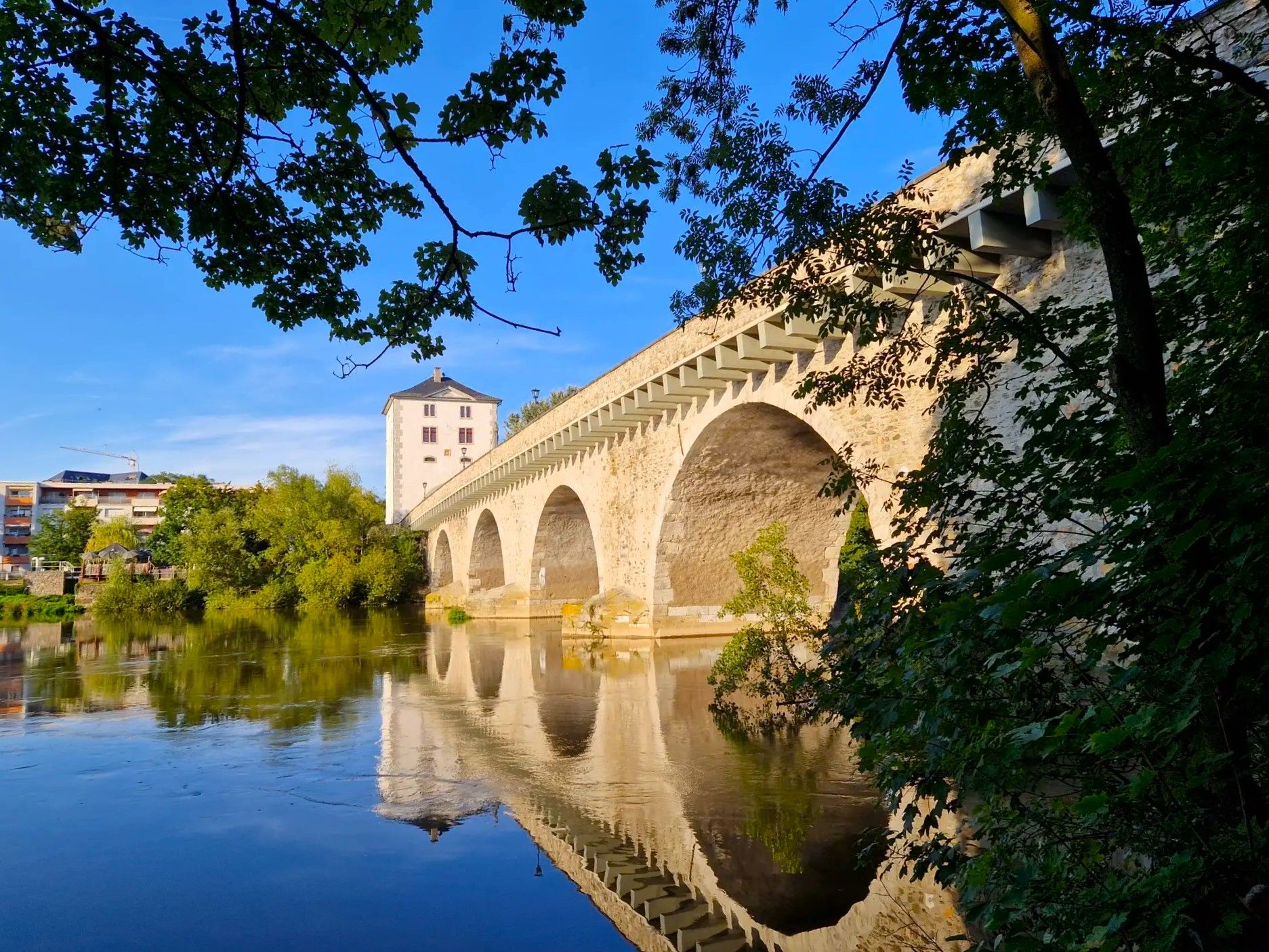
Beautiful old two-arch bridge over the Salzböde
1
0
Nice pizzeria with a large beer garden in Salzböden
1
0
An interesting spot at slightly higher water levels
1
0

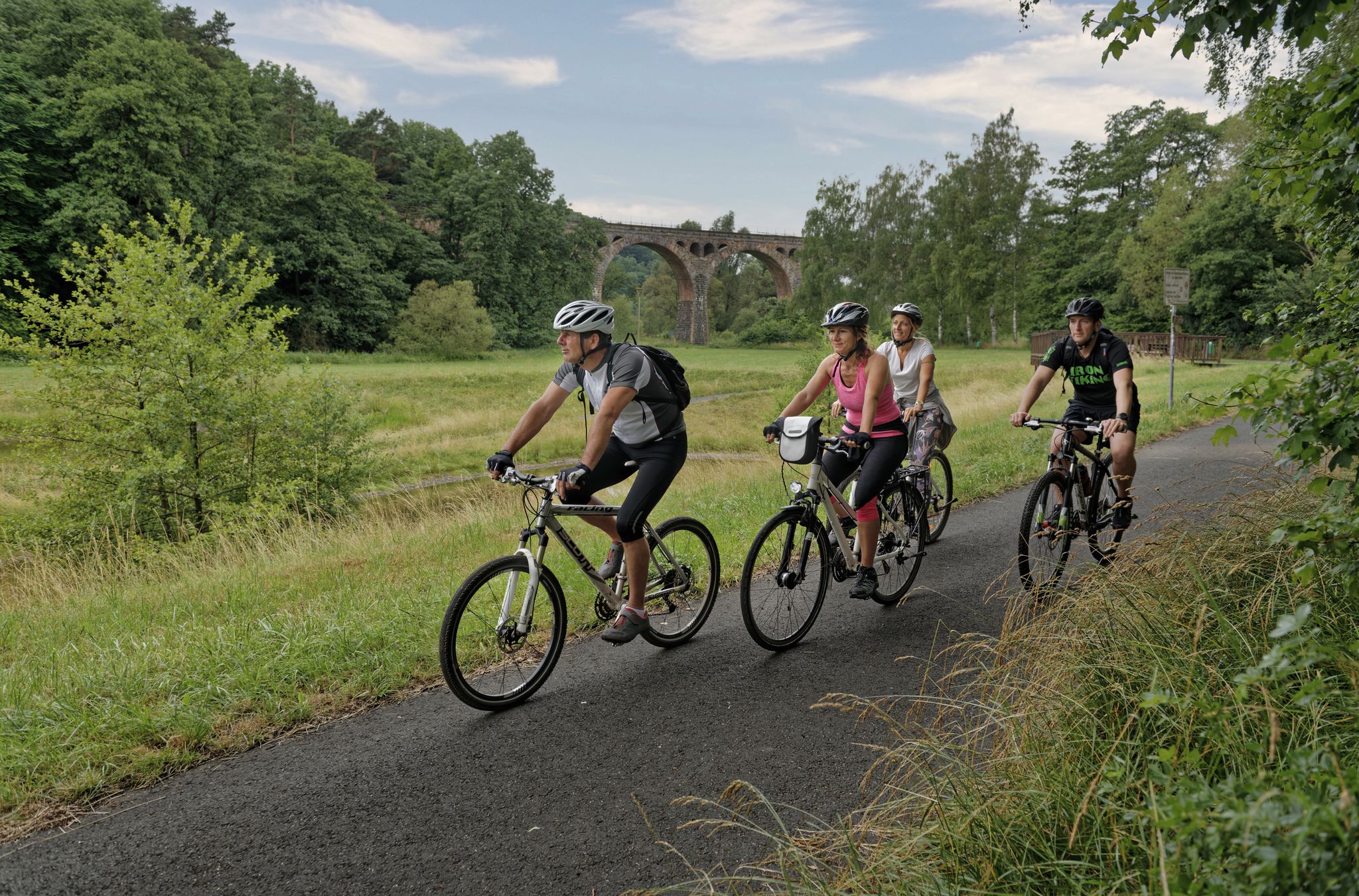
The Lahnwanderweg is ideally suited for views from slightly elevated positions. Mountain biking is also possible on most routes.
0
0
Frequently Asked Questions
How many bus station hiking trails are available in Lollar?
There are over 50 hiking trails around Lollar that are easily accessible from bus stations. These routes offer a convenient way to explore the region's diverse landscapes without needing a car.
Are these bus station trails circular routes?
Yes, many of the trails starting from Lollar's bus stations are designed as circular routes, allowing you to return to your starting point without retracing your steps. Examples include the Café Schönemühle – Weir of the Salzböde loop from Lollar and the Café Schönemühle – Salzböde Bridge loop from Lollar.
What kind of terrain can I expect on hikes starting from Lollar's bus stations?
The terrain around Lollar is varied, featuring rolling hills, green forests, and idyllic valleys like the Wißmarbach and Salzbödetal. You'll find paths ranging from easy, flat walks along river floodplains to more demanding climbs, especially if you venture towards the Dünsberg summit. Many routes offer a mix of forest roads and more natural paths.
Are there easy or family-friendly hiking options from Lollar's bus stations?
Absolutely. Lollar offers numerous easy hikes perfect for families or those seeking a relaxed outing. An example is the Café Schönemühle – Salzböde Bridge loop from Lollar, which is an easy route. These trails often feature gentle gradients and scenic views, making them suitable for all ages.
Can I bring my dog on these bus station hiking trails?
Most hiking trails around Lollar are dog-friendly, allowing you to enjoy the natural surroundings with your canine companion. However, it's always recommended to keep dogs on a leash, especially in nature reserves like the Lahnaue, to protect local wildlife and ensure a pleasant experience for all hikers.
What natural features or landmarks can I see on these bus station hikes?
The bus station hikes around Lollar offer access to several notable natural features and landmarks. You can explore the Stork Nest in the Lahnaue Nature Reserve, known for its wet meadows and birdlife. Other highlights include the Hinterländer Switzerland – Rock Formations, and the tranquil Ponds in the Bergwerkswald.
Are there any specific nature reserves accessible from Lollar's bus station trails?
Yes, the Lahnaue Nature Reserve is a significant area accessible from Lollar. It's a crucial resting and transit area for various waterfowl, including storks, and features wet meadows and lakes. Hikers are encouraged to stay on marked paths to observe the shy birdlife without disturbance.
Are there any historical sites along the bus station hiking trails?
Yes, some routes incorporate historical sites. While not directly on every bus station trail, the broader region features medieval castle ruins like Gleiberg and Vetzberg. You might also encounter highlights such as the Slate quarry near Königsberg or the Tunnel entrance of the Hainau mine, offering a glimpse into the area's past.
When is the best time of year to hike from Lollar's bus stations?
Lollar offers enjoyable hiking experiences throughout the year. Spring brings blooming flora, summer provides lush green landscapes, and autumn transforms the forests with vibrant colors. Even in winter, some trails are suitable for a crisp walk, though conditions may vary. The Lahn River Valley and forest paths are particularly scenic during milder seasons.
What do other hikers say about the bus station trails around Lollar?
The hiking trails around Lollar are highly rated by the komoot community, with an average score of 4.6 stars. Reviewers often praise the well-maintained paths, the peaceful natural surroundings, and the convenience of starting directly from bus stations. Many appreciate the variety of landscapes, from river views to forest trails.
Are there any moderate hikes available from Lollar's bus stations?
Yes, there are several moderate hikes accessible from Lollar's bus stations for those looking for a bit more challenge. An example is the Salzböde Bridge – Weir of the Salzböde loop from Lollar, which covers a distance of about 10 km with some elevation changes. These routes offer a good balance of distance and varied terrain.
Are there trails that offer views of the Lahn River?
Yes, the Lahn River is a central natural feature of the region, and many trails offer scenic views of its valley. While specific bus station routes might not always run directly alongside the river, sections of the broader Lahnwanderweg pass through the area, providing opportunities to observe wildlife like storks and enjoy the tranquil riverine landscape.
Most popular routes around Lollar
Most popular attractions around Lollar

Get inspired with the komoot mobile app


Explore more
Browse the best Hikes in other regions.
