The best hikes from bus stations around Freiensteinau
4.6
(5556)
18,645
hikers
83
hikes
Bus station hiking trails around Freiensteinau navigate a landscape shaped by the Hoher Vogelsberg Nature Park, Europe's largest extinct volcano. The region features basalt mountains ranging from 300 to 750 meters, alongside mixed forests, dry grasslands, and orchards. Hikers encounter varied terrain, including panoramic views, quiet forests, and tranquil ponds. Significant bodies of water like Nieder-Mooser See, Ober-Mooser See, and Reichloser See are prominent features, with the latter two being nature reserves.
Best bus station hiking trails around Freiensteinau
- The most popular bus station hiking route is View of Niedermooser See – Benches With Lake View loop from Ober-Moos, a 2.6 miles (4.2 km) trail that takes 1 hour 6 minutes to complete. This easy route offers views of Niedermooser See from designated benches.
- Another top favourite among local hikers is View of Niedermoos – Nieder-Moos Church loop from Nieder-Moos, a moderate 7.0 miles (11.3 km) path. This trail provides views of Niedermoos and passes by the Nieder-Moos Church.
- Local hikers also love the Salzbach Source and Ponds – View of Freiensteinau loop from Salz, a 5.0 miles (8.1 km) trail leading through varied terrain including the Salzbach Source and ponds, often completed in about 2 hours 13 minutes.
- Hiking around Freiensteinau is defined by volcanic basalt formations, serene lakes, and diverse forest and grassland ecosystems. The network offers options for different ability levels, from easy lakeside strolls to moderate paths with more elevation gain.
- The routes in Freiensteinau are highly rated by the komoot community with an average score of 4.6 stars from more than 5,200 reviews. More than 19,000 hikers have used komoot to explore Freiensteinau's varied terrain.
Last updated: June 27, 2026
4.7
(102)
480
hikers
Easy hike. Great for any fitness level. Easily-accessible paths. Suitable for all skill levels.
4.5
(14)
47
hikers
11.3km
03:03
160m
160m
Moderate hike. Good fitness required. Easily-accessible paths. Suitable for all skill levels.

Sign up for free
4.4
(9)
32
hikers
8.06km
02:14
140m
140m
Moderate hike. Good fitness required. Easily-accessible paths. Suitable for all skill levels.
5.0
(7)
21
hikers
6.61km
01:48
100m
100m
Easy hike. Great for any fitness level. Easily-accessible paths. Suitable for all skill levels.
5.0
(3)
14
hikers
Moderate hike. Good fitness required. Easily-accessible paths. Suitable for all skill levels.
Get access to more routes and recommendations from other explorers.
Sign up for free
Already have an account?
Our route recommendations are based on thousands of hikes, rides, and runs completed by other people on komoot.
Start today with a free account
Your next adventure awaits.
Login or Signup


Tips from the Community

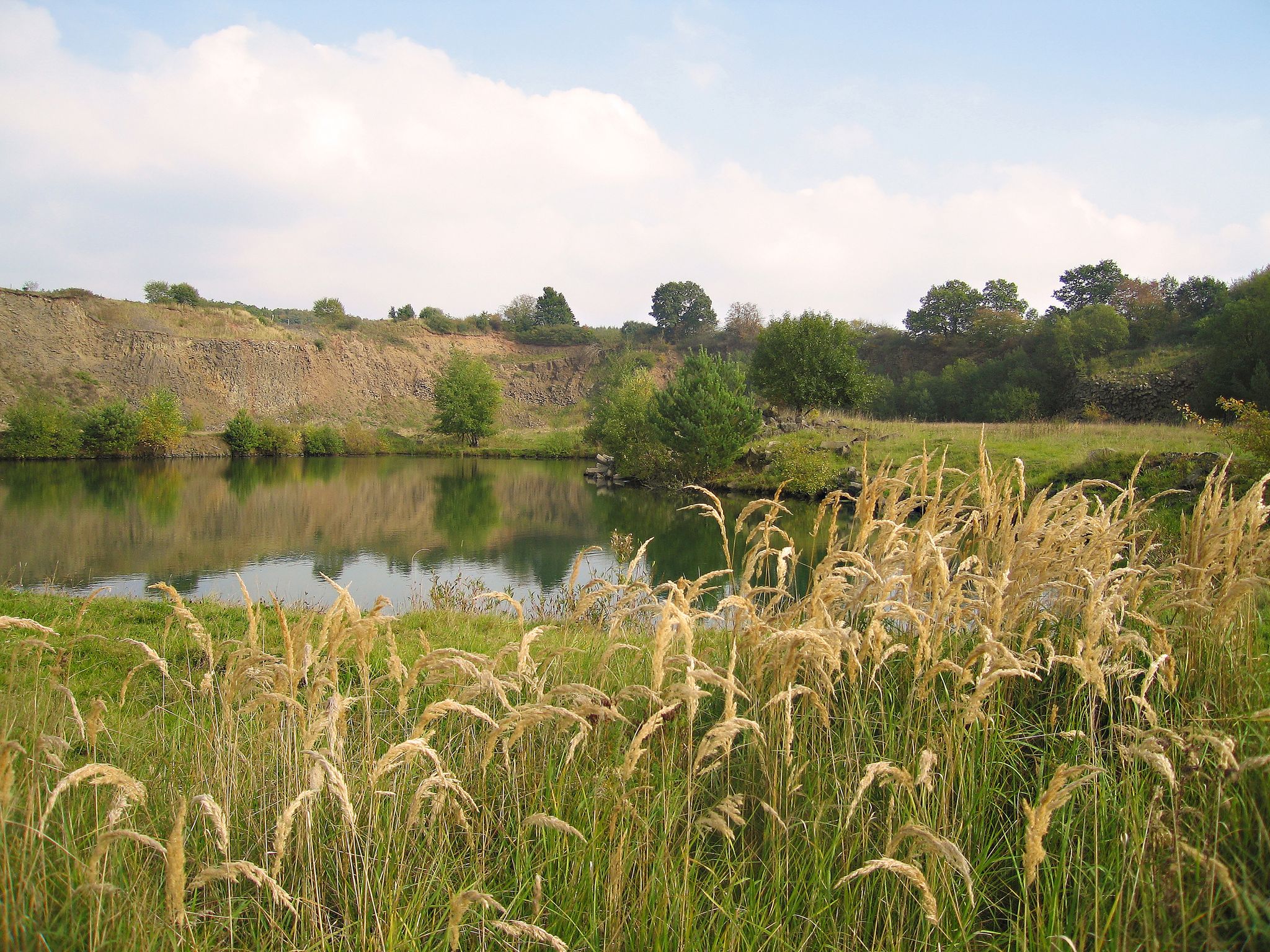
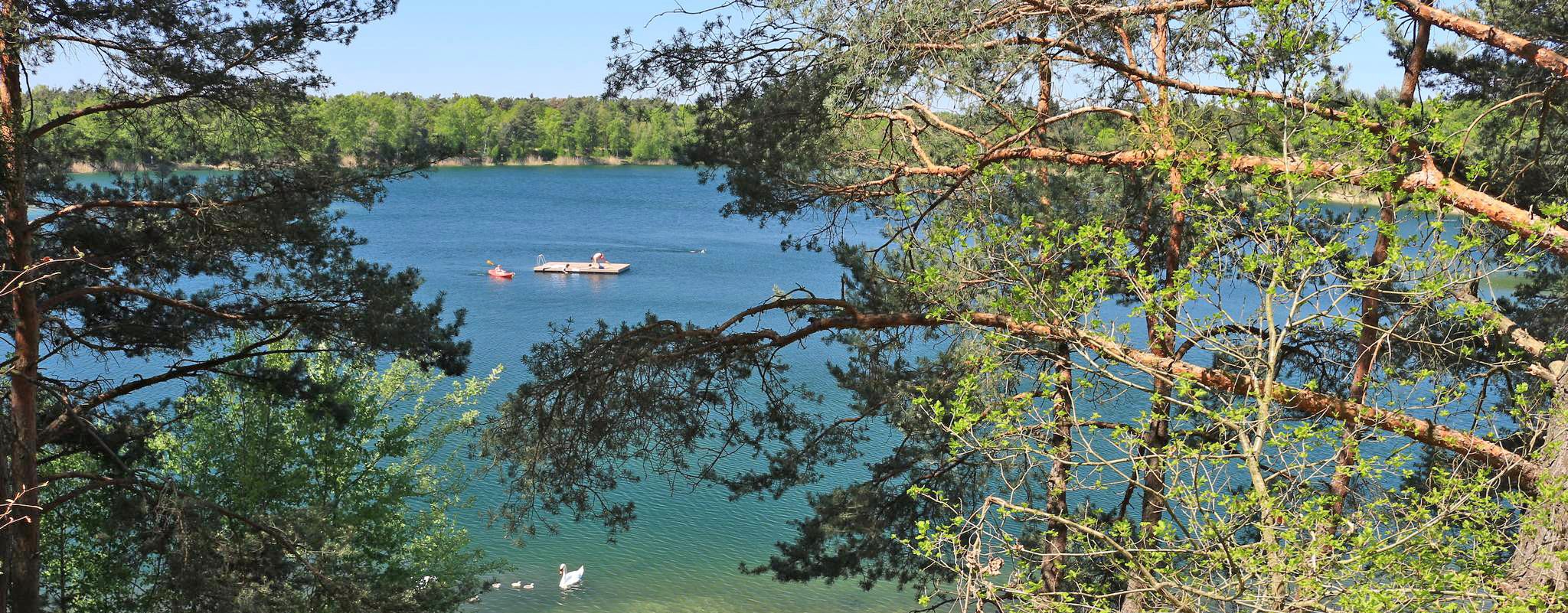
This rest stop with a bench is located directly on the Niedermooser See. Rest a little on the bench and enjoy the lake view.
2
0

Lovely view from the benches along the path.
0
0

Beautiful view of the lake with the existing trees 🌳🤩
0
0

Memorial to the victims of World War I and World War II.
0
0

Nice campsite by the lake.
2
0
Beautiful view over the lake.
0
0

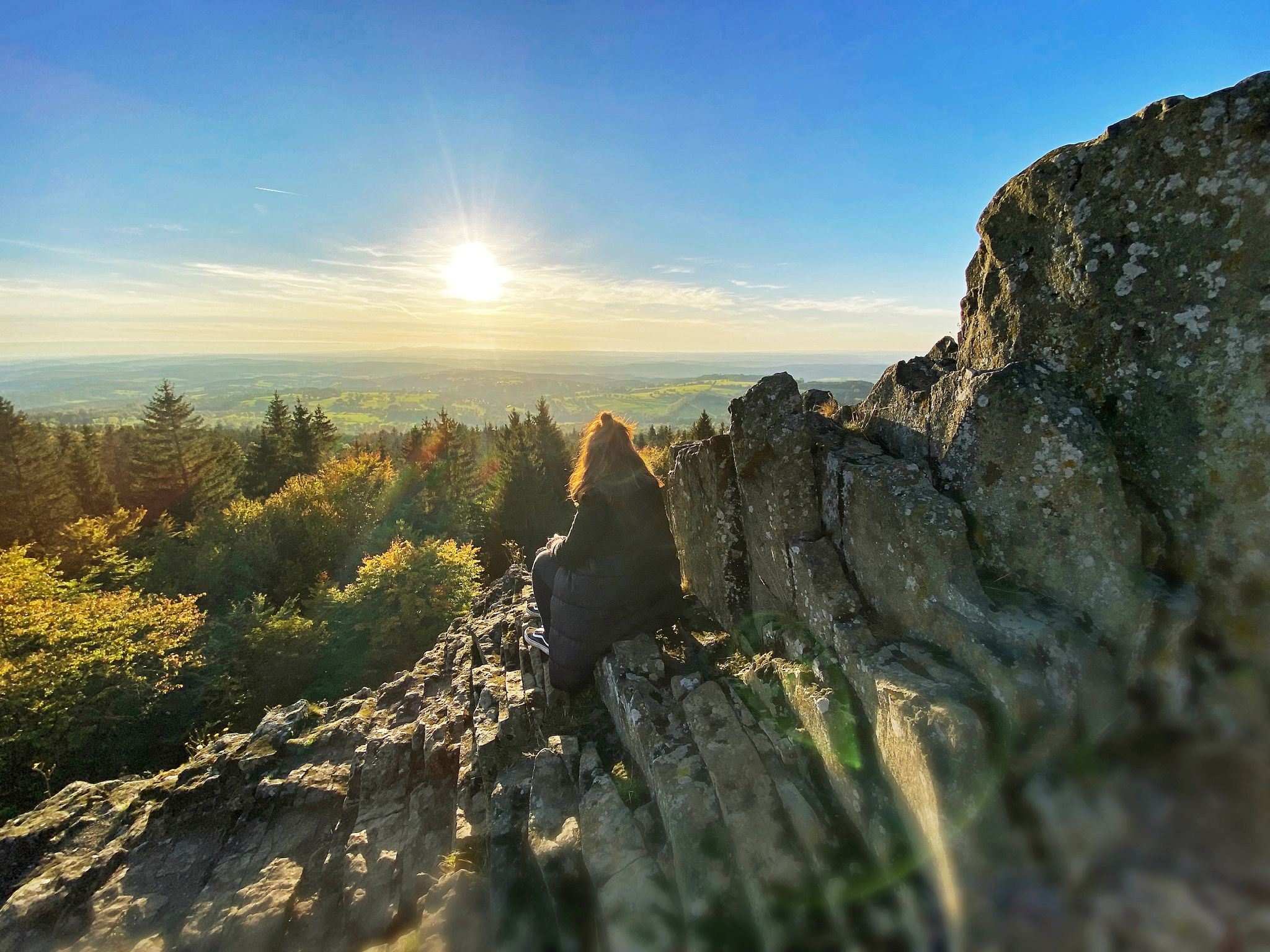
Beautiful view over Freinensteinau.
0
0

From the appendix below the Winterberg, there is a wide view of Freiensteinau. The Protestant village church with its two-story baroque tower is particularly visible above the houses.
1
0
Frequently Asked Questions
How many bus-accessible hiking trails are available around Freiensteinau?
There are over 80 hiking trails around Freiensteinau that are easily accessible from bus stations, offering a wide variety of options for all skill levels. With 57 easy routes, it's a great destination for casual walkers and families.
Are there many easy or beginner-friendly hikes accessible by bus in Freiensteinau?
Yes, Freiensteinau offers a great selection for beginners. More than two-thirds of the available routes, specifically 57 trails, are rated as easy. These often feature gentle terrain and shorter distances, perfect for a relaxed day out.
What kind of natural landscapes can I expect to see on these bus-accessible trails?
The trails around Freiensteinau, situated in the Hoher Vogelsberg Nature Park, showcase a diverse landscape shaped by Europe's largest extinct volcano. You'll encounter a mix of mixed forests, dry grasslands, orchards, and tranquil ponds. The region is known for its basalt mountains, offering unique geological features and panoramic views.
Are there any circular routes accessible from bus stations in Freiensteinau?
Absolutely! Many of the trails are circular, allowing you to start and end your hike at the same bus stop. For example, the Freiensteinau Church – Christkind's Cradle loop from Freiensteinau is an easy 6.6 km circular route, perfect for exploring local landmarks.
What are some notable natural attractions or points of interest along the bus-accessible routes?
The region is rich in natural beauty. Many routes pass by the picturesque Nieder-Mooser See, Ober-Mooser See, and Reichloser See. You might also encounter the unique basalt cone known as the "Christchild Cradle" on the Wintersberg. The Salzbach Source and Ponds – View of Freiensteinau loop from Salz offers views of local ponds and sources.
Are the bus-accessible hiking trails in Freiensteinau suitable for families?
Yes, many trails are family-friendly, especially the numerous easy routes. The varied terrain with forests and lakes provides engaging scenery for children. Consider the View of Niedermooser See – Benches With Lake View loop from Ober-Moos, a short and easy 4.2 km loop that offers beautiful lake views.
Can I bring my dog on the bus-accessible hiking trails around Freiensteinau?
Generally, dogs are welcome on most hiking trails in Freiensteinau. The diverse landscapes, from forests to open fields, provide plenty of sniffing opportunities. Always keep your dog on a leash, especially near nature reserves like Ober-Mooser See and Reichloser See, and be mindful of local wildlife.
What do other hikers enjoy most about hiking in Freiensteinau?
The area is highly rated by the komoot community, with an average score of 4.6 out of 5 stars from over 5,200 ratings. Reviewers often praise the peaceful atmosphere, the well-maintained trails, and the beautiful natural scenery, particularly the serene lakes and panoramic views of the Vogelsberg landscape.
Are there any trails that offer good viewpoints of the surrounding region?
Yes, the volcanic landscape of the Vogelsberg provides several elevated points with excellent views. Routes like the Rest Area Near Metzlos-Gehaag – View of the Rhön Mountains loop from Nieder-Moos offer expansive vistas, including distant views of the Rhön Mountains on clear days.
What is the best season for hiking around Freiensteinau using public transport?
Freiensteinau is beautiful year-round. Spring brings blooming wildflowers, summer offers lush greenery, and autumn transforms the forests with vibrant colors. Even winter hiking can be enjoyable, with trails often less crowded and offering a tranquil, snow-dusted landscape. Always check local bus schedules, as services might vary by season.
Are there any trails that explore the lake areas more extensively?
Yes, the region is known for its lakes. The View of Niedermoos – Nieder-Moos Church loop from Nieder-Moos is a moderate 11.2 km route that takes you around the Nieder-Mooser See, offering extensive views of the water and surrounding nature. The area around Ober-Mooser Lake also features a birdwatching hut for observing rare species.
Most popular routes around Freiensteinau
Most popular attractions around Freiensteinau

Get inspired with the komoot mobile app


Explore more
Browse the best Hikes in other regions.
