The best hikes from bus stations around Niedernhausen
4.5
(2828)
13,809
hikers
155
hikes
Bus station hiking trails around Niedernhausen are situated within the Rhein-Taunus Nature Park, characterized by dense forests, rolling hills, and green meadows. The region features the Taunus Mountains, with 60% of the municipal area covered by mixed forest. Notable elevations include the Hohe Kanzel at 592 meters, offering panoramic views. The landscape also incorporates the Theißtal, a local recreation area with the Waldsee Niedernhausen, and unique geological formations like metamorphic quartzite outcrops.
Best bus station hiking trails around Niedernhausen
- The…
Last updated: October 14, 2026
4.6
(54)
165
hikers
Easy hike. Great for any fitness level. Easily-accessible paths. Suitable for all skill levels.
4.5
(36)
156
hikers
8.60km
02:24
170m
170m
Moderate hike. Good fitness required. Easily-accessible paths. Suitable for all skill levels.

4.7
(39)
127
hikers
5.45km
01:35
130m
130m
Moderate hike. Great for any fitness level. Mostly accessible paths. Sure-footedness required.
4.5
(37)
130
hikers
7.11km
01:59
130m
130m
Easy hike. Great for any fitness level. Easily-accessible paths. Suitable for all skill levels.
5.0
(18)
117
hikers
Easy hike. Great for any fitness level. Easily-accessible paths. Suitable for all skill levels.
Get access to more routes and recommendations from other explorers.
Already have an account?
Our route recommendations are based on thousands of hikes, rides, and runs completed by other people on komoot.
Start today with a free account
Your next adventure awaits.
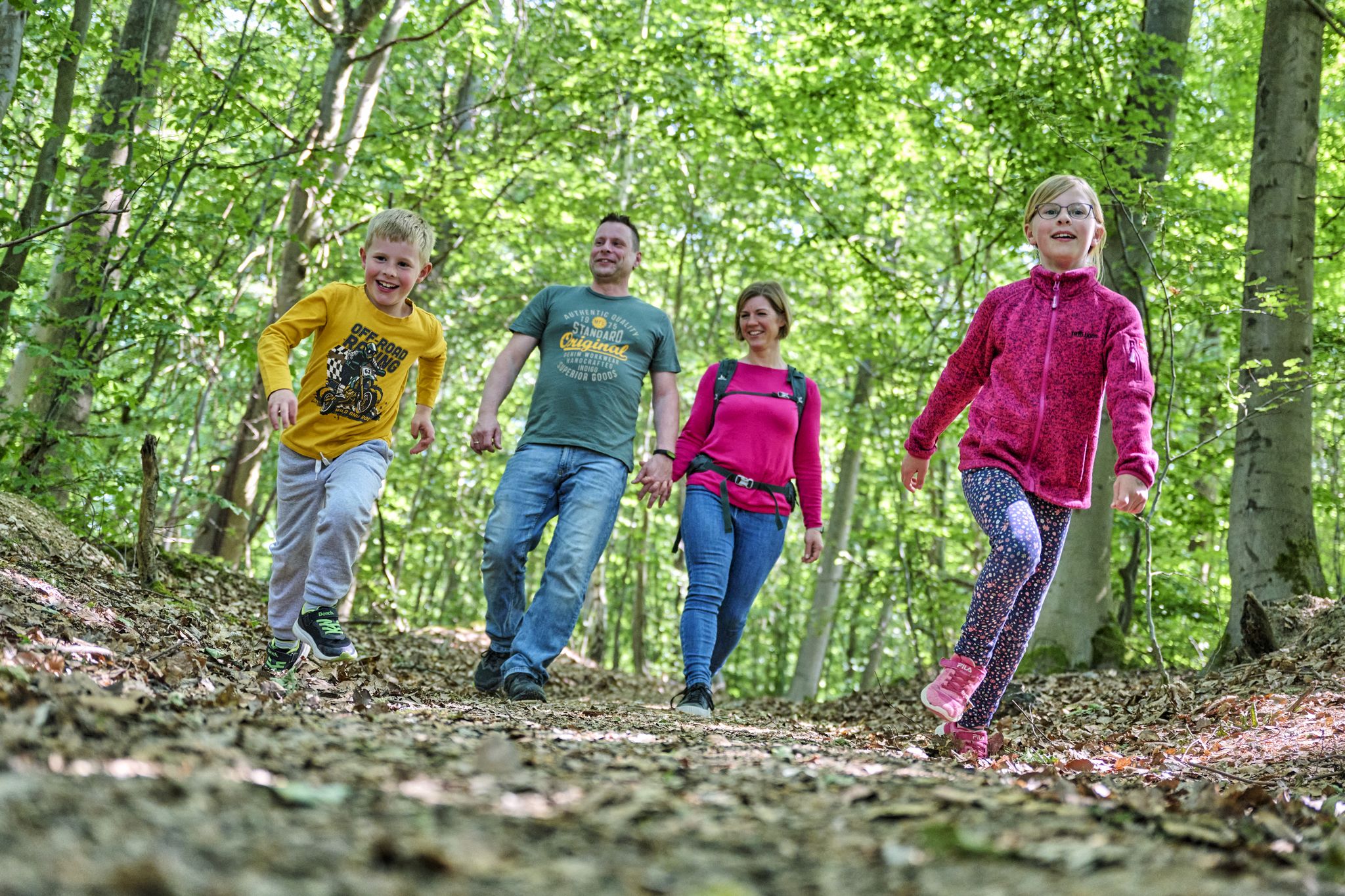

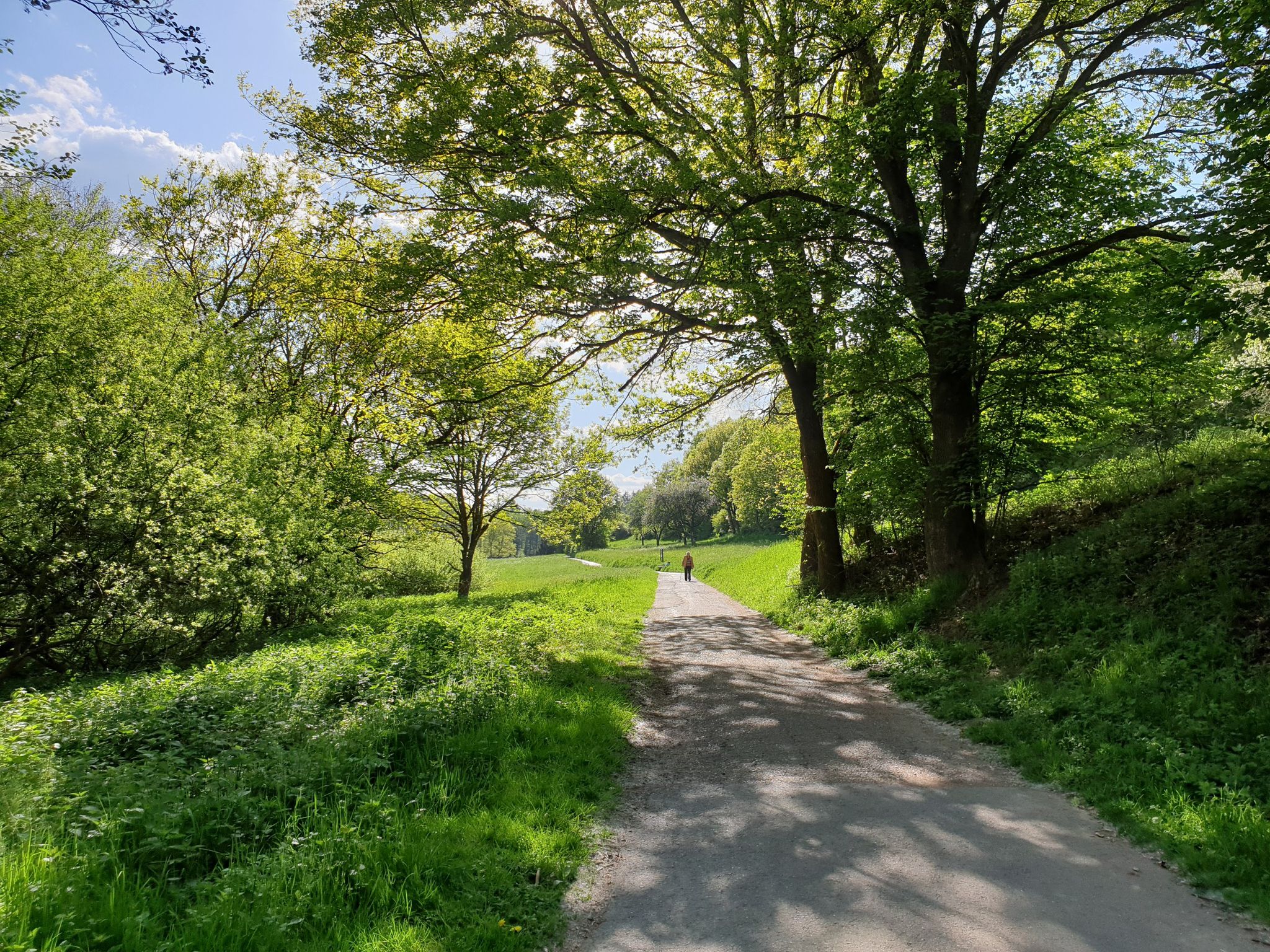
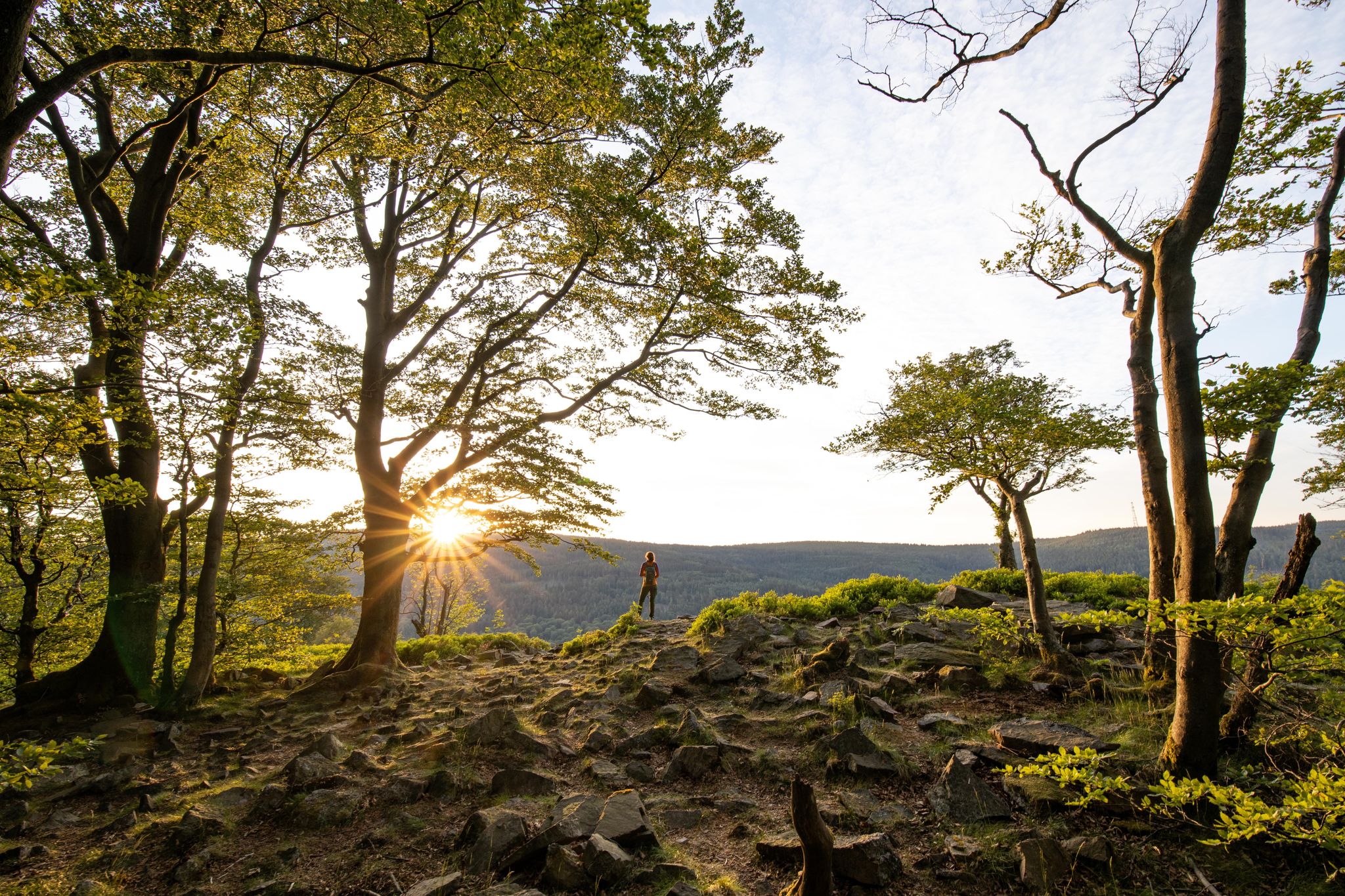
Other adventures around Niedernhausen


Tips from the Community

Apart from the Kastanienhof, whose opening hours must be strictly observed, there is no refreshment stop on the route. It would be nice if there were a marking of the Regiomaten (Dattenbachstrasse Ehlhalten and Niederjosbach Parkplatz on the left shortly before the train station).
0
0

In the distance, the imperial temple above Eppstein can also be seen.
0
0
From here, the Kellerskopf mountain with its observation tower can be seen very well in the background.
0
0


Beautiful beer garden and delicious veggie dishes
0
0
Nice beer garden, and the menu also offers various vegetarian and vegan dishes! Unfortunately, closed on Mondays and Tuesdays.
1
0

Nice beer garden, unfortunately not open at the beginning of April
0
0
Frequently Asked Questions
How many bus-accessible hiking trails are there around Niedernhausen?
There are over 130 hiking trails around Niedernhausen that are easily accessible by bus. This guide focuses specifically on routes starting directly from bus stations, making it convenient to explore the region's diverse landscapes without a car.
Are there easy bus-accessible hiking trails suitable for beginners in Niedernhausen?
Yes, Niedernhausen offers a wide selection of easy bus-accessible trails perfect for beginners or those looking for a relaxed walk. Out of the 135 available routes, 91 are rated as easy. An example is the Hoher Kanzel (595 m) – Hohe Kanzel (High Pulpit) loop from Engenhahn, which is an easy 5.9 km loop.
Are there family-friendly bus-accessible hikes in Niedernhausen?
Many of the easy and moderate bus-accessible trails in Niedernhausen are suitable for families. The region's varied terrain, including forests and meadows, provides engaging environments for children. Look for routes with moderate inclines and interesting natural features like the Josbach Ford – Egg House at the Taunus loop from Niedernhausen (Taunus), which is an easy 6.3 km hike.
Can I bring my dog on bus-accessible trails in Niedernhausen?
Yes, most hiking trails in the Rhein-Taunus Nature Park, including those accessible by bus around Niedernhausen, are dog-friendly. Please ensure your dog is kept on a leash, especially in nature conservation areas or near wildlife, and always clean up after your pet.
What natural features or landmarks can I expect to see on these trails?
The bus-accessible trails around Niedernhausen offer a rich variety of natural features. You can explore dense mixed forests, rolling hills, and green meadows within the Rhein-Taunus Nature Park. Notable natural landmarks include the tranquil Waldsee Niedernhausen, the Theißtal nature conservation area, and unique geological formations like the "Hohler Stein" (Hollow Stone) near Niedernhausen. Some routes also lead to viewpoints like the Eselkopf Summit.
Are there bus-accessible hikes with good viewpoints?
Absolutely! Many trails in the Niedernhausen area offer rewarding viewpoints. For instance, the Eselkopf Summit – View of Atzelberg loop from Oberjosbach provides excellent vistas. The region's elevated positions within the Taunus Mountains often lead to panoramic views over the surrounding landscapes.
What is the best time of year to go hiking from a bus station in Niedernhausen?
The best times for hiking in Niedernhausen are spring and autumn. During these seasons, the mild climate and the vibrant colors of nature, from blooming wildflowers to rich autumn foliage, significantly enhance the hiking experience. While summer is also pleasant, spring and autumn offer particularly picturesque conditions.
What historical sites or castles can I visit near the bus-accessible hiking routes?
The region around Niedernhausen is rich in history. You can combine your hike with a visit to several historical sites and castles. Nearby attractions include the impressive Eppstein Castle, the Ruins of Falkenstein Castle, or the Platte Hunting Lodge. Some routes also pass by the Medieval Glassworks at Emsbach Gorge.
Are there circular bus-accessible hiking routes available?
Yes, many of the bus-accessible hiking trails around Niedernhausen are designed as circular routes, allowing you to start and end your hike at the same bus station. This makes planning your trip by public transport very convenient. An example is the View of Vockenhausen – View of the Atzelberg loop from Oberjosbach.
What do other hikers say about the bus-accessible trails in Niedernhausen?
The bus-accessible trails around Niedernhausen are highly rated by the komoot community, with an average score of 4.47 out of 5 stars from over 2,300 ratings. Reviewers often praise the well-maintained paths, the beautiful and diverse natural scenery, and the convenience of accessing these trails directly from public transport stops.
Are there places to eat or drink near the bus-accessible hiking trails?
Yes, several villages and towns along the bus routes and near the trailheads offer cafes, restaurants, and traditional pubs where you can enjoy a refreshing break or a meal. It's always a good idea to check opening hours in advance, especially in smaller communities.
Most popular routes around Niedernhausen
Most popular attractions around Niedernhausen

Get inspired with the komoot mobile app


Explore more
Browse the best Hikes in other regions.
