The best walks and hikes around Lößnitz
4.7
(1275)
3,916
hikers
111
hikes
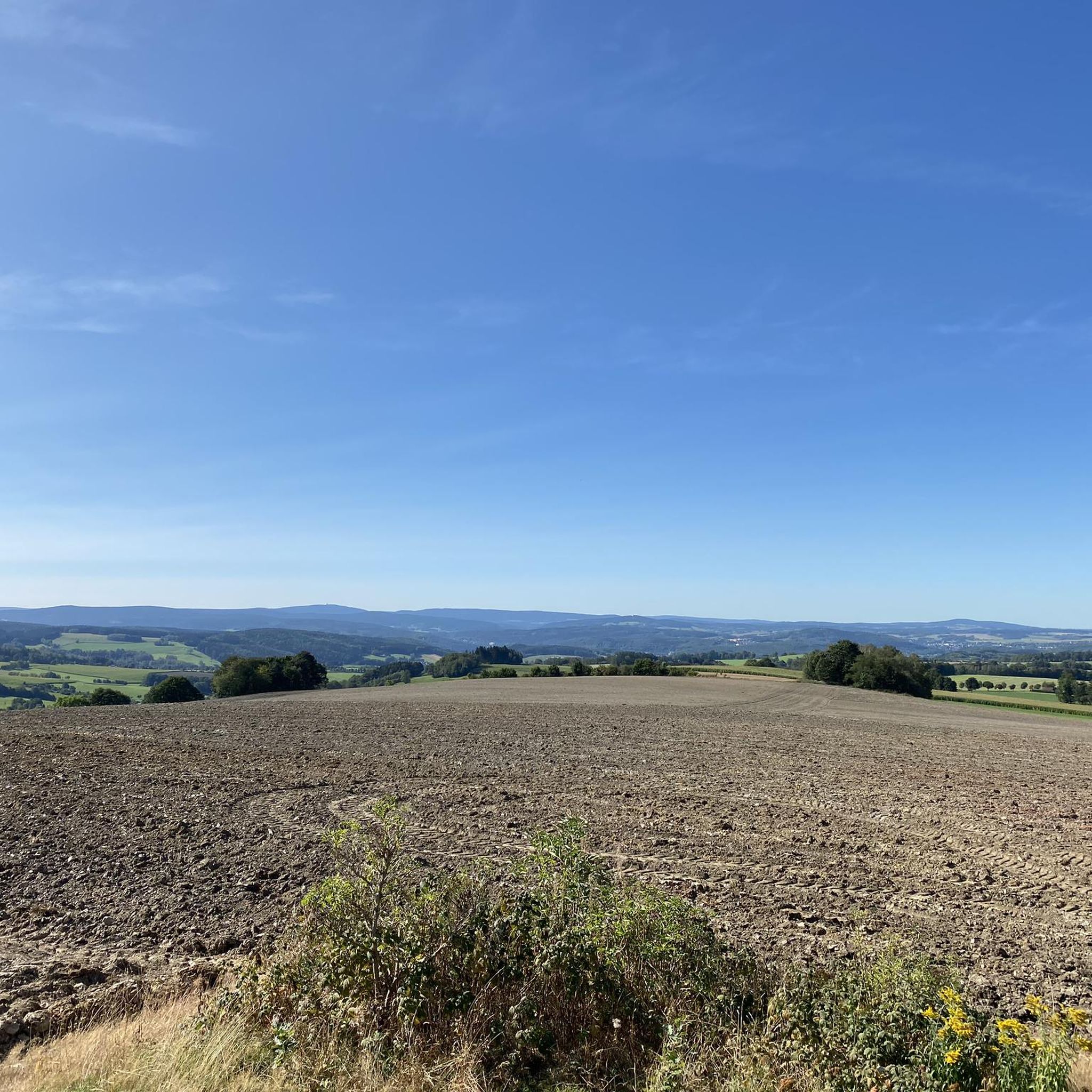
Hiking around Lößnitz, situated within the gentle hills of the Ore Mountains in Germany, offers diverse terrain characterized by valleys, slopes, and extensive forest areas. The region features the Lößnitzgrund und Lößnitzhänge, a Natura 2000 site with beech and oak-hornbeam mixed forests. Historical slate mining areas also contribute to the varied landscape.
Best hiking trails around Lößnitz
- The most popular hiking route is Brettmühlenteich – View of the Streitwald loop from Streitwald, a 4.3 miles (6.9 km) trail that…
Last updated: October 13, 2026
4.5
(36)
115
hikers
6.93km
01:55
120m
120m
Easy hike. Great for any fitness level. Easily-accessible paths. Suitable for all skill levels.
4.9
(14)
31
hikers
13.3km
03:48
310m
310m
Moderate hike. Good fitness required. Mostly accessible paths. Sure-footedness required.

4.7
(25)
65
hikers
7.83km
02:18
230m
230m
Moderate hike. Good fitness required. Easily-accessible paths. Suitable for all skill levels.
4.6
(30)
59
hikers
3.89km
01:06
80m
80m
Easy hike. Great for any fitness level. Easily-accessible paths. Suitable for all skill levels.
5.0
(15)
29
hikers
6.72km
01:59
190m
190m
Easy hike. Great for any fitness level. Easily-accessible paths. Suitable for all skill levels.
Get access to more routes and recommendations from other explorers.
Already have an account?
Our route recommendations are based on thousands of hikes, rides, and runs completed by other people on komoot.
Start today with a free account
Your next adventure awaits.
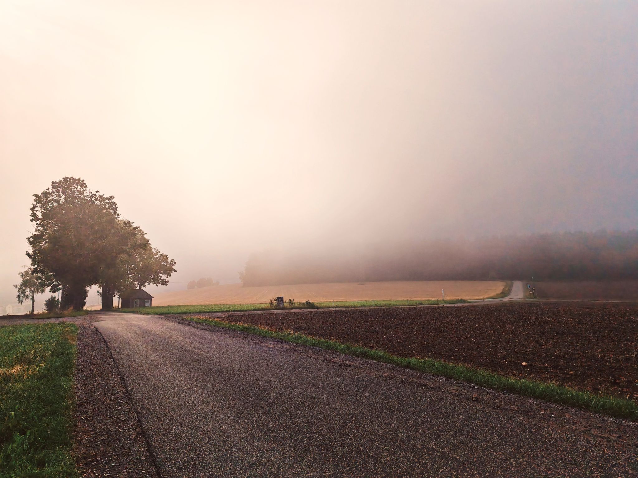
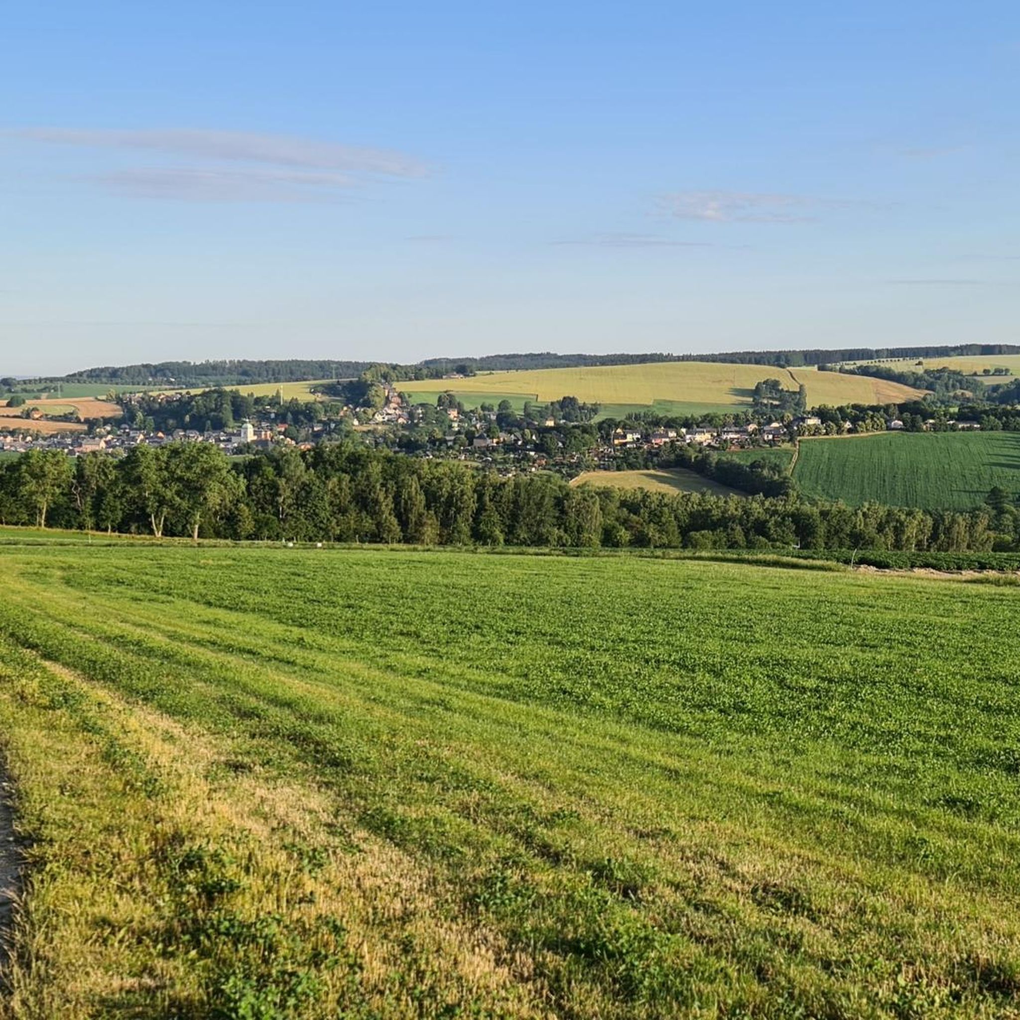
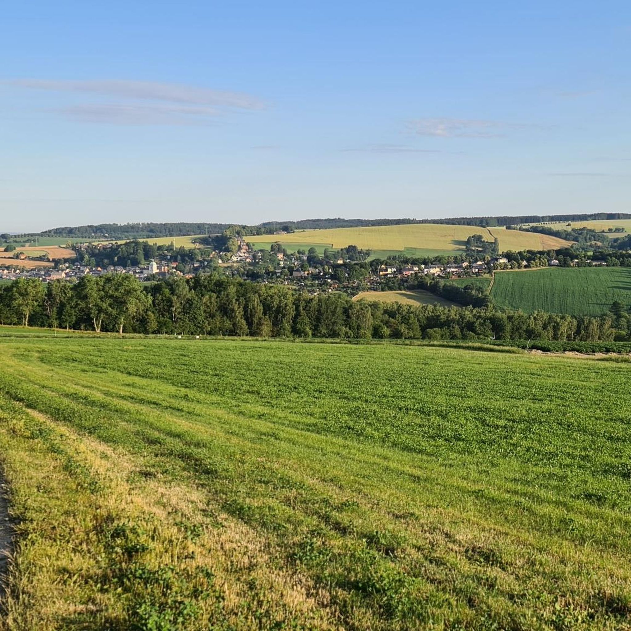
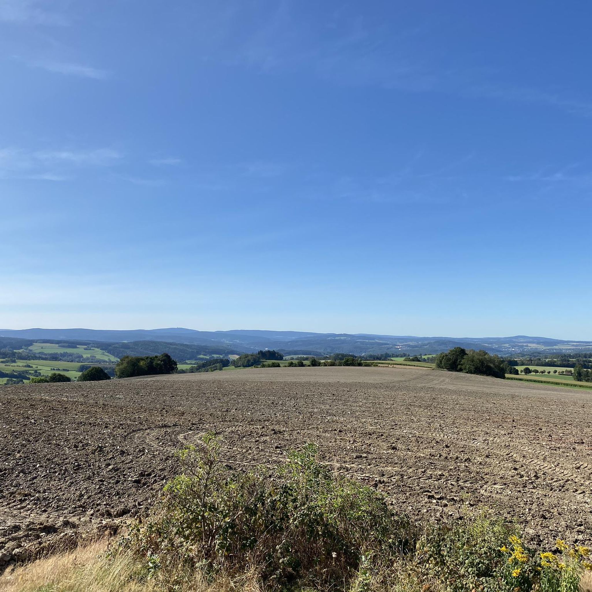

Other adventures around Lößnitz

Tips from the Community

The Kutten-Kiefer stands on the Kuttenbach in Bärengrund. It's a wonderful place to take a break
0
0


The Kuttenbach, approximately 6.5 km long, is a stream and a right tributary of the Schwarzwasser on the outskirts of Aue-Bad Schlema. Its lower reaches in the Bärengrund valley, after its only major tributary, are also called the Rumpelsbach. The Kuttengrund valley is an old mining area; the last mine closed in 1927. The Kuttenteich pond, constructed in the 18th century as an artificial pond, served as a water reservoir for the vitriol works, the smelting works, and, from 1840 onward, for supplying water to the Kuttenzeche mine. The pond is 72 meters long and 52 meters wide, with a dam five meters high. A mining heritage trail now leads through the valleys of the Kuttenbach and Fallbach streams.
0
0

This slate hole with clear water is a surprise, just a pity that it was not bathing weather that day,
2
0

Directly adjacent to the Communstolln, panel 4 points to the Schnitzerheim (Carver's Home), the home of the oldest carving and mining club in the Ore Mountains. Founded in 1879 as the "Bergverein" (Mining Club), the club is one of the oldest of its kind in the western Ore Mountains and became known for its artistically designed Christmas mountains. The first documented woodcarver was Karl Friedrich Schorler (1755-1839). The first woodcarving school in the Ore Mountains was founded in 1904 under the direction of Ernst Büttner in Lößnitz. https://www.stadt-loessnitz.de/de/wandern/innerstaedtischer-lehrpfad.html
2
0
The Communstolln is a mining facility first documented in 1739. Today, it is 300 meters long and, after extensive reconstruction, was used as a water tunnel for the drinking water supply of the town of Lößnitz from 1866 onwards. At that time, the flow rate was 200 liters of water per minute. With the completion of the municipal drinking water pipeline at the end of the 19th century, the tunnel lost its importance. https://www.stadt-loessnitz.de/de/wandern/innerstaedtischer-lehrpfad.html
2
0

Frequently Asked Questions
How many hiking trails are available around Lößnitz?
Lößnitz offers a wide variety of hiking opportunities, with over 100 trails to explore. These range from easy walks to more challenging routes, catering to different fitness levels.
Are there any easy, family-friendly hikes in Lößnitz?
Yes, Lößnitz has over 50 easy trails suitable for families. A great option is the View of the Ore Mountains – Linden Avenue loop from Lößnitz, which is under 4 km and takes you past the notable Lindenallee natural monument.
What kind of landscapes can I expect to see while hiking in Lößnitz?
The region is characterized by the gentle hills of the Ore Mountains, offering diverse terrain with valleys, slopes, and extensive forest areas. You'll encounter protected areas like the Lößnitzgrund und Lößnitzhänge, featuring beech and oak-hornbeam mixed forests, as well as historical slate mining landscapes.
Are there any circular hiking routes around Lößnitz?
Many trails in Lößnitz are designed as loops. For example, the Brettmühlenteich – View of the Streitwald loop from Streitwald is an easy 6.9 km circular route offering scenic views.
What do other hikers say about the trails in Lößnitz?
The hiking trails in Lößnitz are highly regarded by the komoot community, boasting an average rating of 4.7 stars from over 1000 reviews. Hikers often praise the varied terrain and the well-maintained paths that showcase the region's natural beauty and historical sites.
Are there any historical or natural landmarks to see along the trails?
Absolutely. The region is rich in history and natural beauty. You can explore areas related to historical slate mining, such as the Slate Pit Dreihansen – View of Lößnitz loop from Lößnitz. The area also features natural monuments like the Lindenallee, a unique avenue of ancient lime trees.
Are there any caves or mines I can visit near the hiking routes?
Yes, the area around Lößnitz has several interesting caves and historical mines. You could visit the Princes' Cave or the Herkules-Frisch-Glück Show Mine, which are listed as nearby attractions.
Are there any trails that offer good viewpoints?
Yes, several routes provide excellent vistas. The Fuchsbrunn Bridge – Zwönitzblick Lookout Tower loop from Lößnitz is a moderate 13.5 km path that leads to the Zwönitzblick Lookout Tower, offering panoramic views of the surrounding landscape.
What is the best time of year to go hiking in Lößnitz?
Lößnitz offers beautiful hiking experiences throughout the year. Spring brings blooming nature, summer provides lush green forests, autumn showcases vibrant foliage, and even winter can be magical with snow-covered landscapes, though some trails might require appropriate gear.
Are there options for longer, more challenging hikes?
While Lößnitz is known for its gentle hills, there are still options for longer, moderate hikes. The Fuchsbrunn Bridge – Zwönitzblick Lookout Tower loop from Lößnitz is a moderate 13.5 km route that provides a good challenge with significant elevation changes.
Can I find accommodation or places to eat near the hiking trails?
Lößnitz and its surrounding areas offer various options for accommodation and dining. The Affalter Nature Hostel, located in a former slate quarry hut, provides a unique stay for nature lovers. You'll also find traditional architecture and charming half-timbered houses in the town, suggesting local eateries.
Most popular routes around Lößnitz
Most popular attractions around Lößnitz

Get inspired with the komoot mobile app


Explore more
Browse the best Hikes in other regions.
