The best hikes from bus stations around Großwallstadt
4.6
(12172)
46,664
hikers
28
hikes
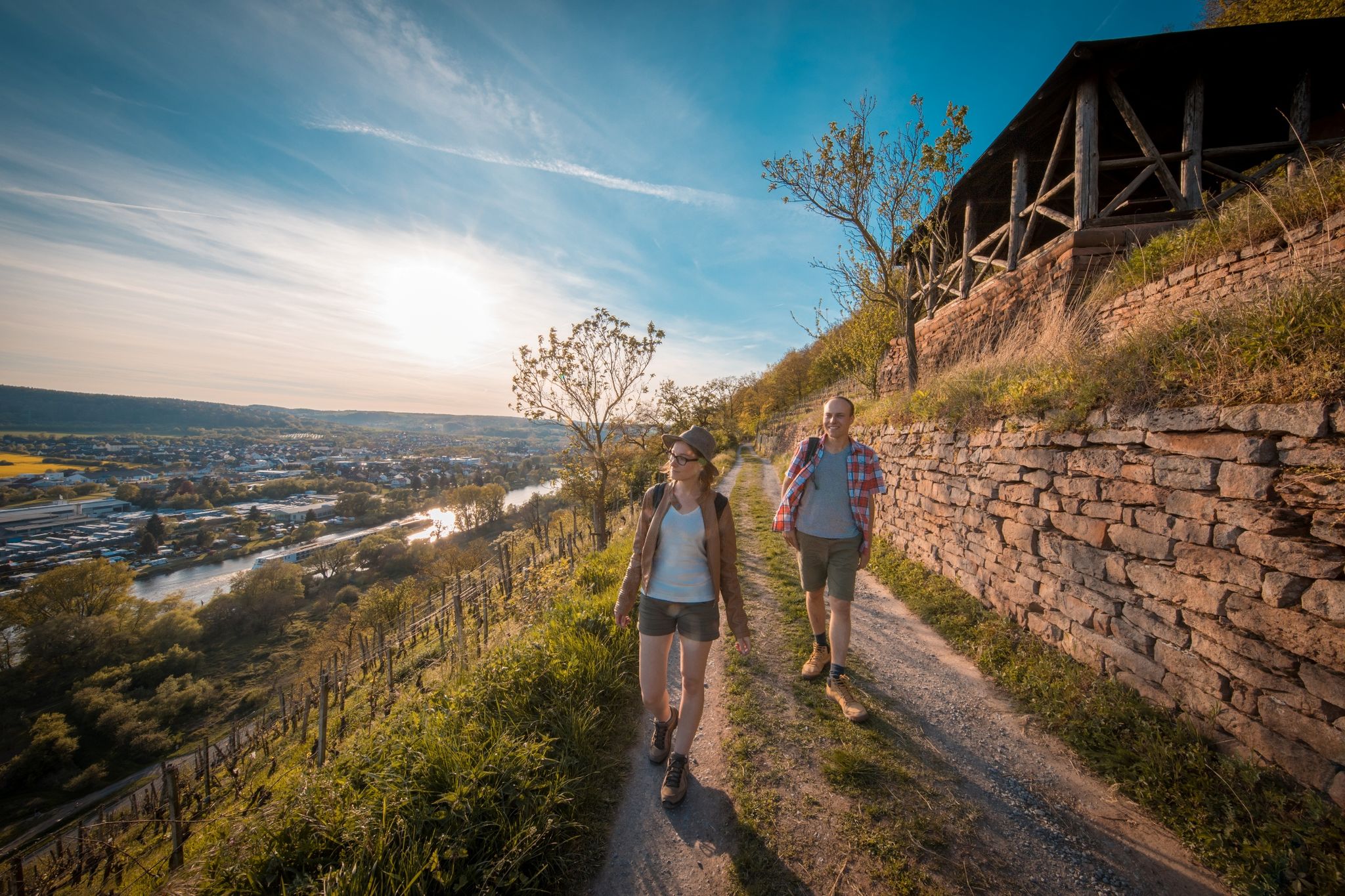
Bus station hiking trails around Großwallstadt offer access to a diverse landscape situated between the Spessart and Odenwald low mountain ranges, alongside the Main River. The region features extensive forests, rolling hills, and scenic riverine environments. Hikers can explore varied terrain, from the gentle paths along the Main River to routes traversing vineyards and forested areas.
Best bus station hiking trails around Großwallstadt
- The most popular bus station hiking route is View of Seehotel Niedernberg – Honischland Beach Bar loop…
Last updated: August 21, 2026
4.8
(18)
115
hikers
Moderate hike. Good fitness required. Easily-accessible paths. Suitable for all skill levels.
4.2
(6)
58
hikers
Moderate hike. Good fitness required. Easily-accessible paths. Suitable for all skill levels.

Sign up for free
31
hikers
5.66km
01:26
10m
10m
Easy hike. Great for any fitness level. Easily-accessible paths. Suitable for all skill levels.
5.0
(2)
20
hikers
8.79km
02:14
20m
20m
Moderate hike. Good fitness required. Easily-accessible paths. Suitable for all skill levels.
3.0
(1)
11
hikers
Easy hike. Great for any fitness level. Easily-accessible paths. Suitable for all skill levels.
Get access to more routes and recommendations from other explorers.
Sign up for free
Already have an account?
Our route recommendations are based on thousands of hikes, rides, and runs completed by other people on komoot.
Start today with a free account
Your next adventure awaits.
Login or Signup
Other adventures around Großwallstadt


Tips from the Community

Frequently used spot as a bathing place for four-legged friends
6
0
Located directly down by the small bench for resting
3
0
A real visitor magnet for the municipality here, the recreational area around the lakes
3
0

Super view of the Seehotel
1
0
A really impressive stone from modern times
2
0
Nice spot for a short break.. unfortunately, people often forget their brought-along trash
2
0

The Großwallstadt war memorial is located at this site. It commemorates those who fell in the wars of 1866, 1870/71, 1914-18 and 1939-45.
0
0
Here in a front garden there is an old wayside shrine dating from 1607. The reliefs depict the Crucifixion, Mary, John and Man of Sorrows.
0
0
Frequently Asked Questions
How many bus station hiking trails are available around Großwallstadt?
There are 29 hiking routes accessible from bus stations around Großwallstadt. These trails offer a convenient way to explore the diverse landscapes of the region without needing a car.
What is the general difficulty level of the bus station hiking trails in Großwallstadt?
The trails accessible from Großwallstadt bus stations cater to various fitness levels. You'll find 22 easy routes, 6 moderate routes, and 1 difficult route, ensuring there's something for everyone, from leisurely strolls to more challenging excursions.
What kind of natural sights can I expect to see on these bus-accessible trails?
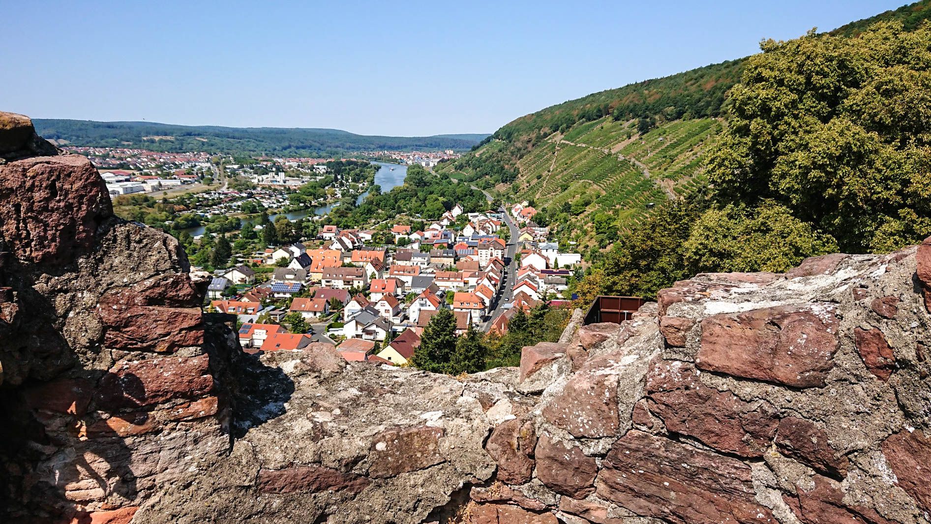
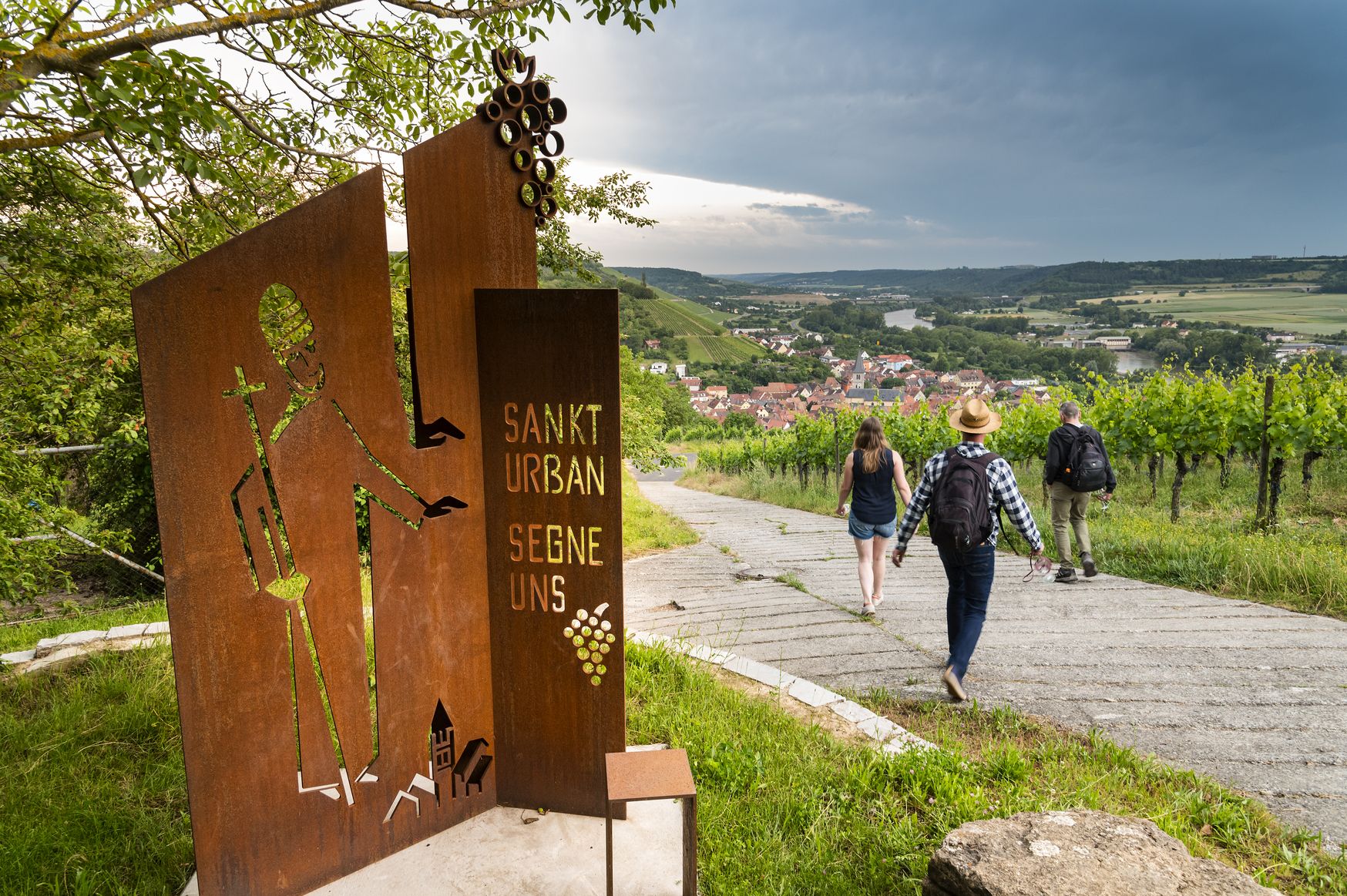
The trails around Großwallstadt offer a rich variety of natural beauty. You can expect to see the picturesque Main River and its valley, extensive forests, and rolling hills characteristic of the Spessart and Odenwald low mountain ranges. Some routes might even lead you through the region's renowned vineyards. For a specific natural wonder, consider exploring the Seltenbach Gorge, known for its beautiful path and stream crossings.
Are there any circular routes accessible from Großwallstadt bus stations?
Yes, many of the hiking routes accessible from Großwallstadt bus stations are circular, allowing you to start and end your hike at the same point. For example, you could try the Trischbachbrünnchen Rest Area – Wallstadt Lock loop, which is an easy option, or the View of Seehotel Niedernberg – Honischland Beach Bar loop for a moderate experience.
Are these bus-accessible trails suitable for families with children?
Yes, many of the trails are suitable for families. With 22 easy routes available, you'll find plenty of options for shorter, less strenuous walks that are enjoyable for all ages. Routes along the Main River are often flat and scenic, perfect for a family outing.
Can I bring my dog on these hikes?
Generally, dogs are welcome on hiking trails in the Großwallstadt region. It's always advisable to keep your dog on a leash, especially in nature protection areas or near wildlife, and to carry waste bags. The diverse landscapes, from forests to riverbanks, provide excellent opportunities for you and your canine companion to enjoy the outdoors.
What is the best time of year to hike from Großwallstadt bus stations?
Großwallstadt offers enjoyable hiking experiences throughout the year. Spring brings blooming nature, while autumn showcases vibrant foliage in the forests and vineyards. Summer is perfect for river-side walks, and even winter can be beautiful for crisp, clear hikes, though some paths might be muddy or icy. Always check local weather conditions before heading out.
Are there any viewpoints or scenic spots along the bus-accessible routes?
Absolutely. The region is rich with scenic vistas. Many trails offer captivating views of the Main Valley and the surrounding low mountain ranges. You might also find historical viewpoints, such as those offering a glimpse of Johannisburg Castle. For a dedicated viewing experience, consider routes that pass by the Observation tower on the Schlossberg in Klingenberg.
Are there places to eat or get refreshments along the way?
Yes, the Großwallstadt area provides options for refreshments. The Hohewart-Haus (Hohe Warte) is a rustic forest house that serves as a popular stop for hikers. Additionally, charming towns like Klingenberg am Main, accessible via some routes, offer various gastronomic choices.
What do other hikers say about the trails around Großwallstadt?
The hiking trails around Großwallstadt are highly rated by the komoot community, with an average score of 4.64 out of 5 stars from over 10,000 ratings. Hikers often praise the region for its varied landscapes, well-maintained paths, and the convenience of accessing trails directly from bus stations.
Can I explore historical sites or landmarks on these bus-accessible hikes?
Yes, the region around Großwallstadt has historical significance. While hiking, you might encounter sections of the ancient Roman border, the Upper German-Rhaetian Limes, adding a cultural dimension to your outdoor experience. The Ketzelburg Ruins are another historical point of interest you could discover.
Most popular routes around Großwallstadt
Most popular attractions around Großwallstadt

Get inspired with the komoot mobile app


Explore more
Browse the best Hikes in other regions.
