The best hikes from bus stations around Dammbach
4.7
(961)
3,484
hikers
46
hikes
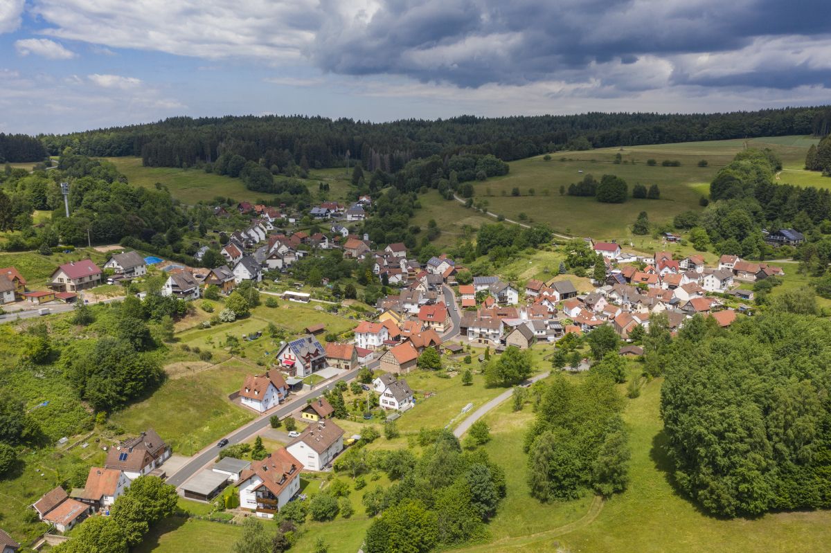
Hiking around Dammbach offers diverse landscapes, including valleys and forested areas. The region features varied terrain, with routes traversing natural waterways and providing scenic overlooks. Elevations are present, with some paths including significant ascents and descents. The Dammbach Nature Reserve provides protected environments for exploring local flora and fauna.
Best bus station hiking trails around Dammbach
- The most popular bus station hiking route is Joiche Brünnchen – View of the Skunicht Valley loop from Dammbach, a 6.2 miles (9.9…
Last updated: June 27, 2026
4.7
(21)
99
hikers
9.93km
02:48
210m
210m
Moderate hike. Good fitness required. Easily-accessible paths. Suitable for all skill levels.
4.9
(14)
56
hikers
14.0km
04:18
520m
520m
Moderate hike. Good fitness required. Easily-accessible paths. Suitable for all skill levels.

Sign up for free
4.8
(21)
72
hikers
16.2km
04:50
510m
510m
Moderate hike. Good fitness required. Easily-accessible paths. Suitable for all skill levels.
4.6
(24)
72
hikers
11.2km
03:24
370m
370m
Moderate hike. Good fitness required. Easily-accessible paths. Suitable for all skill levels.
4.9
(24)
124
hikers
Moderate hike. Good fitness required. Easily-accessible paths. Suitable for all skill levels.
Get access to more routes and recommendations from other explorers.
Sign up for free
Already have an account?
Our route recommendations are based on thousands of hikes, rides, and runs completed by other people on komoot.
Start today with a free account
Your next adventure awaits.
Login or Signup
Popular around Dammbach


Tips from the Community

The name of this Räuberpfad says it all: "Island of Tranquility". Although the path is significantly shorter than the other Räuberpfade at 7.2 km, it clocks in at 424 meters of elevation gain, and secondly, every meter of the route is a delight.
0
0
One of the many beautiful spots on the Alten Schulweg high up to the Geißhöhe - highly recommended
0
0
Offers itself as an ideal spot for a snack on the Räuberpfad.
0
0

It is and will remain closed to cyclists, even if some don't want to accept it.
0
0

A short break with support from on high.
5
0

Wonderful hiking trails
0
0


Very friendly service and the food was really delicious😋 We forgive 👍 👍 👍 👍
1
0
Frequently Asked Questions
How many bus station hiking trails are available around Dammbach?
There are over 45 hiking trails accessible directly from bus stations around Dammbach. These routes offer a variety of experiences, from leisurely strolls to more challenging treks through the region's diverse landscapes.
What is the general difficulty level of bus station hikes in Dammbach?
The majority of bus station hikes in Dammbach are considered moderate, with 30 routes falling into this category. There are also 13 easy routes perfect for a relaxed outing, and 3 more challenging trails for experienced hikers.
What do other hikers say about the trails around Dammbach?
The hiking trails around Dammbach are highly regarded by the komoot community, boasting an average rating of 4.7 out of 5 stars from nearly 900 reviews. Hikers frequently praise the varied terrain, well-maintained paths, and the blend of natural beauty with historical points of interest.
Are there any easy, family-friendly routes accessible from Dammbach bus stations?
Yes, Dammbach offers 13 easy routes suitable for families or those looking for a less strenuous walk. These trails often traverse gentle valleys and forested areas, providing a pleasant outdoor experience. While specific family-friendly routes aren't highlighted here, you can filter for 'easy' difficulty on komoot to find suitable options.
Can I bring my dog on these bus station hiking trails?
Most hiking trails in Dammbach are dog-friendly, allowing you to enjoy the natural surroundings with your canine companion. However, it's always advisable to keep dogs on a leash, especially in nature reserve areas or near livestock, and to check local regulations for specific routes.
What kind of landscapes can I expect on these bus station hikes?
Hiking from Dammbach's bus stations will take you through a mix of environments. You'll encounter serene walks through valleys, dense forested areas, and routes that include significant ascents and descents, offering varied perspectives of the region. The Dammbach Nature Reserve also provides opportunities to explore local flora and fauna.
What interesting sights or landmarks can I see on bus station hikes in Dammbach?
Many trails offer glimpses of historical and natural attractions. For instance, you might encounter the unique Herrenbild Chapel or the impressive Breakfast Oak (Vesper Oak). Some routes also provide views of the historic Wildenstein Castle, adding a cultural element to your outdoor adventure.
Are there any viewpoints along the bus station hiking trails?
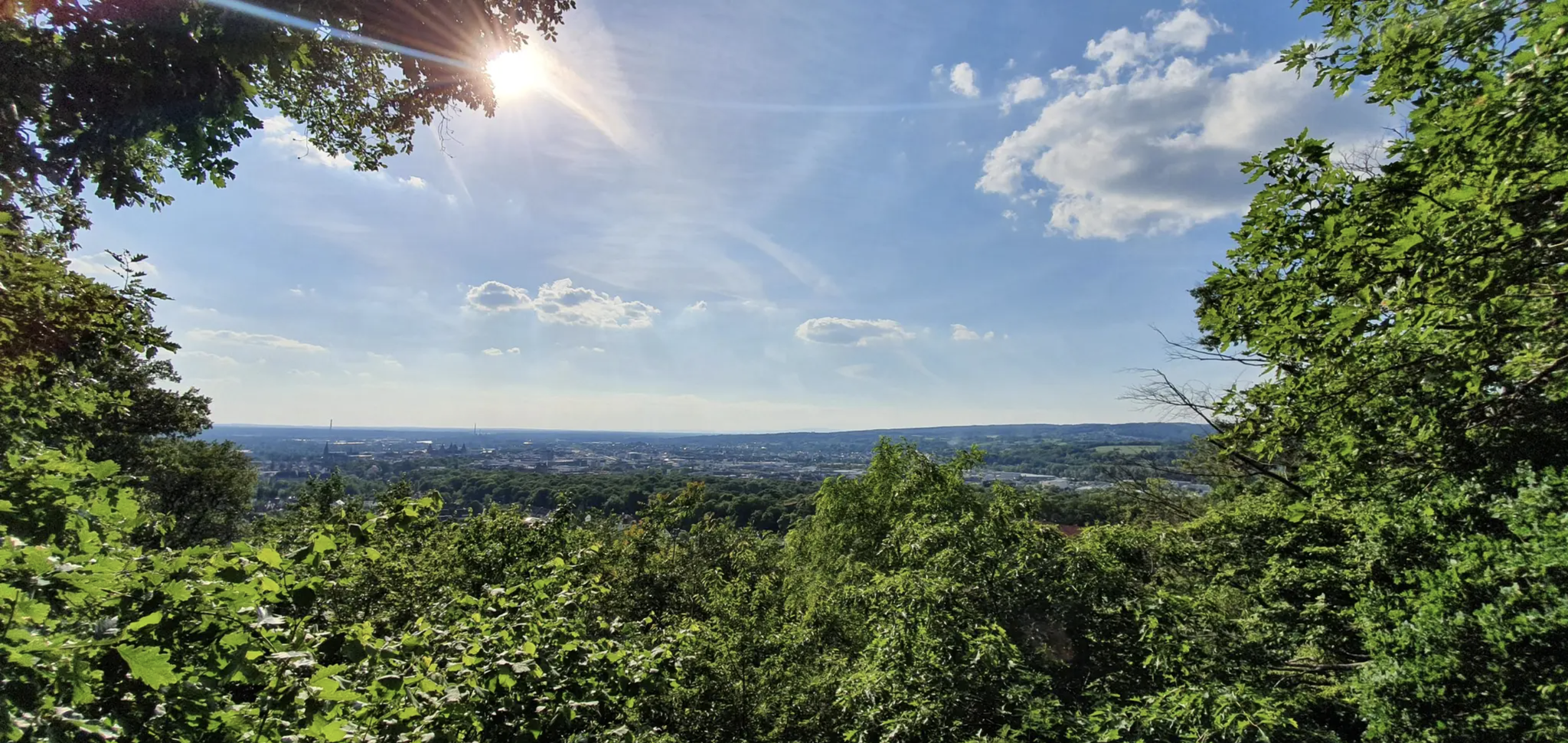
Yes, Dammbach's topography allows for several picturesque viewpoints. You can find routes that offer charming vistas overlooking the town and surrounding areas. A notable spot is the Ludwig-Keller Observation Tower on Geishöhe, which provides expansive views.
Can you recommend a moderate circular hike from a Dammbach bus station?
A great moderate circular option is the Joiche Brünnchen – View of the Skunicht Valley loop from Dammbach. This route covers nearly 10 km with moderate elevation changes, offering scenic views and passing by the local curiosity of the Joiche Brünnchen.
Are there any longer, more challenging bus station hikes for experienced hikers?
For those seeking a longer and more challenging experience, consider the Forest Hotel Heppe – Joiche Brünnche Hollow Way loop from Dammbach. This route spans over 16 km with significant elevation gain, providing a rewarding workout and immersive forest scenery.
What are the best times of year to hike from Dammbach bus stations?
Dammbach offers enjoyable hiking experiences throughout much of the year. Spring brings blooming flora, while autumn showcases vibrant fall foliage. Summer is ideal for long days on the trails, and even mild winter days can be beautiful for a crisp walk, though some paths might be slippery or muddy.
Are there any routes that pass by unique natural features or historical sites?
Absolutely. The Scharstein Chapel – Old School Path to Geishöhe loop from Dammbach is a great example. This route not only offers challenging ascents but also passes by the historic Scharstein Chapel and leads towards the Geishöhe, providing a blend of natural beauty and local history.
Most popular routes around Dammbach
Most popular attractions around Dammbach

Get inspired with the komoot mobile app


Explore more
Browse the best Hikes in other regions.
