The best traffic-free bike rides around Oerlenbach
4.4
(59)
779
riders
22
rides
Road cycling around Oerlenbach offers diverse landscapes, characterized by rolling hills, verdant fields, and proximity to the Rhön Biosphere Reserve. The region features a mix of open landscapes, meadows, and pristine beech forests, providing varied terrain for no traffic road cycling routes. The Sinn River and Franconian Saale also offer picturesque paths along their banks. This area provides a range of elevation changes, from gentle gradients along river valleys to more challenging ascents in the surrounding hills.
Best no traffic…
Last updated: July 11, 2026
4.7
(21)
252
riders
53.7km
02:28
610m
610m
Moderate road ride. Good fitness required. Mostly well-paved surfaces and easy to ride.
4.3
(3)
72
riders
60.9km
02:48
620m
620m
Moderate road ride. Good fitness required. Some segments of this route may be unpaved and difficult to ride.

Sign up for free
3.8
(5)
47
riders
30.0km
01:18
270m
270m
Easy road ride. Great for any fitness level. Mostly well-paved surfaces and easy to ride.
3.9
(9)
74
riders
32.8km
01:30
320m
320m
Moderate road ride. Good fitness required. Mostly well-paved surfaces and easy to ride.
4.0
(2)
17
riders
Moderate road ride. Good fitness required. Some segments of this route may be unpaved and difficult to ride.
Get access to more routes and recommendations from other explorers.
Sign up for free
Already have an account?
Our route recommendations are based on thousands of hikes, rides, and runs completed by other people on komoot.
Start today with a free account
Your next adventure awaits.
Login or Signup

Other adventures around Oerlenbach

Tips from the Community

The Gradierwerk is unfortunately currently a construction site
0
0

Invites you to rest if the weather is nice ;)
0
0

Roman Catholic Parish Church of the Nativity of Mary - Before the establishment of the parish, Hambach was likely a branch of Maibach. Prince-Bishop Julius Echter von Mespelbrunn had the chancel tower of the church built around 1600 on Romanesque foundations. The nave, originally built with two window bays, was constructed in 1734 and extended by two more window bays in 1928. Two side wings were added between 1988 and 1990. The nave is oriented towards the eastern chancel in the lower level of the church tower. The church tower is built in the Echter style. The walls of the nave are pierced to create transitions to the northern and southern side wings. The church furnishings are Baroque, dating from the time the nave was built. The central figure of the high altar, which, like the side altars, has two columns, is a gilded Madonna and Child. The pulpit depicts the four Evangelists. Next to it, a crucifix from 1952. Wikipedia
0
0
A very pleasant rest area at the Holzhausen/Pfändhausen/Hambach intersection, featuring a cross-bearer. A cross-bearer (also known as a cross-carrying figure or cross-slinger; colloquially called a cross-beater or cross-sleeper[1]) is a depiction of Christ carrying the cross as a freestanding figure. This distinctive form of wayside shrine, which emerged in the 17th century, is particularly widespread in Franconia and is a prominent feature of the landscape, especially in the Catholic dioceses of Bamberg and Würzburg.
0
0

A beautiful bike path without bumps or potholes. With a nice rest area and even bike racks.
0
0
A great bike path in beautiful scenery. No bumps, no potholes, etc. Riding away from traffic is really fun, and you can even pick up some speed. Simply fantastic!
0
0

The cycle path leads from Zell to Schweinfurt (about halfway) off the road between fields and along the edge of the forest.
0
0

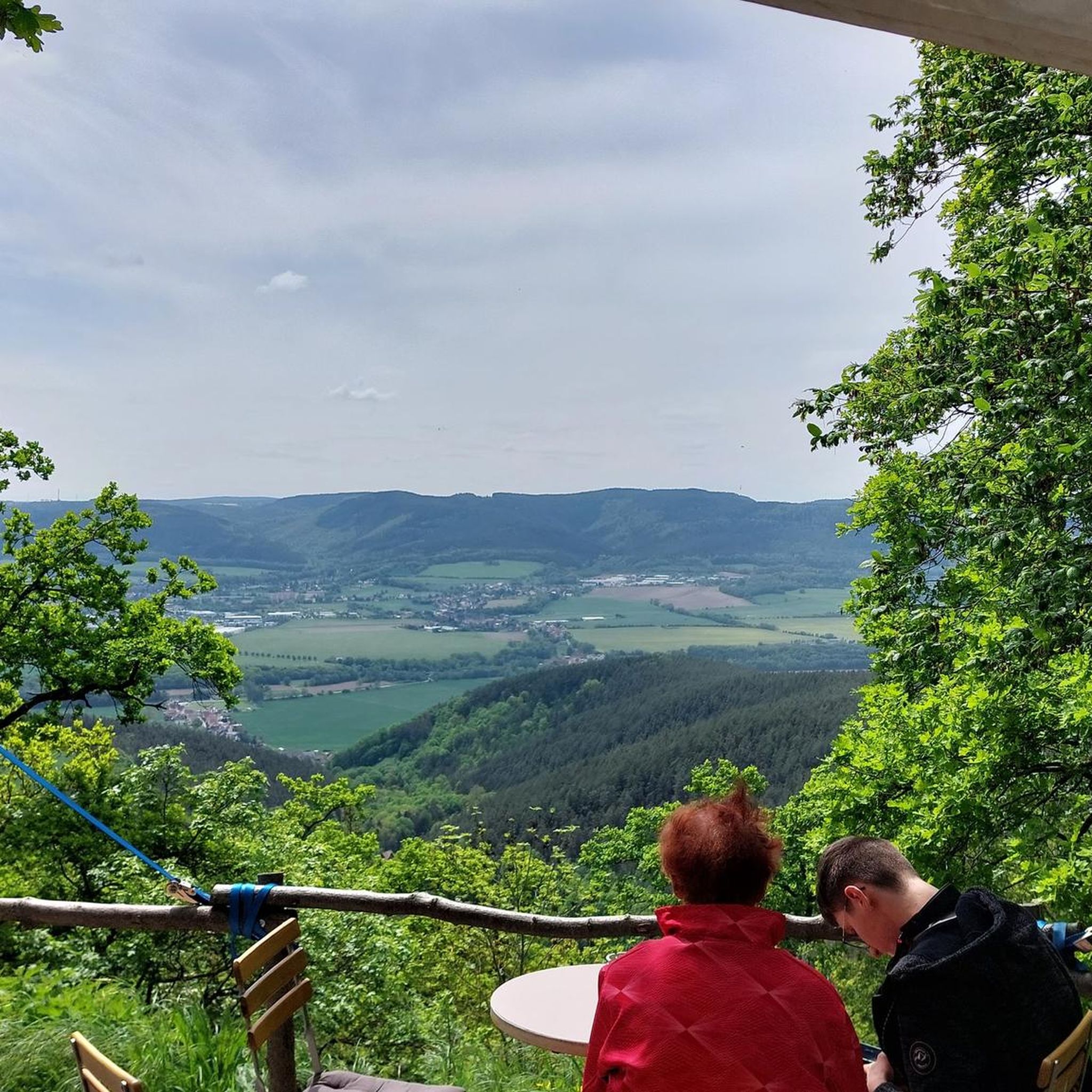
enjoy the view in peace
0
0
Frequently Asked Questions
How many no traffic road cycling routes are available around Oerlenbach?
There are over 20 traffic-free road cycling routes around Oerlenbach, offering a variety of distances and difficulty levels. You'll find options ranging from easy rides to more challenging tours with significant elevation.
What is the typical terrain like on these no traffic road cycling routes?
The routes in and around Oerlenbach traverse a picturesque landscape of rolling hills, verdant fields, and dense forests. You can expect a mix of open landscapes, sweeping meadows, and paths along river valleys like the Sinn River, providing diverse and scenic cycling experiences.
When is the best time of year to enjoy traffic-free road cycling in Oerlenbach?
The best seasons for road cycling in Oerlenbach are spring and autumn. During these times, you'll experience mild temperatures and stable weather conditions. Spring offers the beauty of blooming nature, while autumn showcases a vibrant display of colors across the landscape.
Are there easy, traffic-free road cycling routes suitable for beginners in Oerlenbach?
Yes, Oerlenbach offers several easy, traffic-free road cycling routes perfect for beginners. An example is the Ostrich Farm – Town Hall Fountain loop from Oerlenbach, which covers about 30 km with manageable elevation, making it a great option to start exploring the area.
Can I find challenging, traffic-free road cycling routes with significant elevation around Oerlenbach?
Absolutely. For experienced road cyclists seeking a challenge, the region offers routes with notable climbs. While not directly on the Kreuzberg Pass, the proximity to the Rhön Biosphere Reserve means you can find routes with challenging ascents and descents. A moderate route like the Flood Protection Monument Zell – Cycle Path Pfändhausen–Hambach loop from Oerlenbach features over 600 meters of elevation gain over 53 km.
Are there any circular no traffic road cycling routes available?
Many of the traffic-free road cycling routes around Oerlenbach are designed as loops, allowing you to start and end at the same point. For instance, the View of Pfersdorf – Favorite Place Oberes Werntal loop from Rottershausen is a moderate 32 km circular route offering scenic views.
What natural features can I expect to see along the traffic-free road cycling routes?
You'll encounter diverse natural features, including the picturesque Sinn River, which offers beautiful cycling paths along its banks. The region is also characterized by rolling hills, expansive plateaus, and pristine beech forests. Some routes may pass by natural monuments like the Wichtelhöhlen Rock Formations or the Kaskadental gorge.
Are there any historical landmarks or points of interest accessible from these routes?
While focusing on natural beauty, some routes might bring you close to historical sites. The ruins of Botenlauben Castle in Bad Kissingen are approximately 5.8 km from Oerlenbach and can be incorporated into a longer cycling route. Additionally, the Bad Kissingen spa gardens offer a historical and relaxing stop.
Where can I find scenic viewpoints on the no traffic road cycling routes?
The rolling hills and diverse landscapes naturally offer many scenic viewpoints. Routes that climb higher, especially towards the edge of the Rhön Biosphere Reserve, will reward you with expansive views of the surrounding countryside and valleys. Keep an eye out for designated viewpoints mentioned on individual route descriptions.
Is parking available near the starting points of these traffic-free routes?
Yes, in Oerlenbach and the surrounding villages, you can typically find public parking options near the starting points of many routes. It's advisable to check specific route details or local signage for the most convenient parking spots.
What do other road cyclists appreciate about the no traffic routes in Oerlenbach?
The komoot community highly rates the road cycling experience in Oerlenbach, with an average score of 4.4 stars. Reviewers often praise the tranquility of the traffic-free paths, the beautiful and varied scenery, and the well-maintained surfaces that make for an enjoyable ride through the Franconian countryside.
Are there any routes that pass by places to rest or grab refreshments?
Many routes in the Oerlenbach area pass through or near small villages where you can find local cafes, bakeries, or traditional Bavarian inns for refreshments. The region is also known for its hospitality, so you'll often find opportunities to refuel and rest along your ride.
Most popular routes around Oerlenbach
Most popular attractions around Oerlenbach

Get inspired with the komoot mobile app


Explore more
Browse the best Road cycling routes in other regions.
