The best hikes from bus stations around Grafenrheinfeld
4.5
(3199)
15,825
hikers
41
hikes
Bus station hiking trails around Grafenrheinfeld traverse a landscape shaped by the Main River and its floodplains, offering diverse natural environments. The region features several nature reserves, including the Altmain Nature Reserve and Garstadt Wood, which protect significant biological diversity. Unique geological formations like the Tännig Sand Dune provide varied terrain, while numerous lakes add to the scenic appeal. This combination of riverine scenery, protected areas, and distinct landforms defines the hiking experience.
Best bus station hiking trails around Grafenrheinfeld
…Last updated: June 27, 2026
4.4
(15)
46
hikers
21.0km
05:20
50m
50m
Hard hike. Very good fitness required. Easily-accessible paths. Suitable for all skill levels.
4.8
(25)
88
hikers
Moderate hike. Good fitness required. Easily-accessible paths. Suitable for all skill levels.

Sign up for free
4.8
(114)
307
hikers
11.2km
02:51
30m
30m
Moderate hike. Good fitness required. Easily-accessible paths. Suitable for all skill levels.
4.6
(7)
28
hikers
Moderate hike. Good fitness required. Easily-accessible paths. Suitable for all skill levels.
4.4
(11)
13
hikers
Easy hike. Great for any fitness level. Easily-accessible paths. Suitable for all skill levels.
Get access to more routes and recommendations from other explorers.
Sign up for free
Already have an account?
Our route recommendations are based on thousands of hikes, rides, and runs completed by other people on komoot.
Start today with a free account
Your next adventure awaits.
Login or Signup
Popular around Grafenrheinfeld
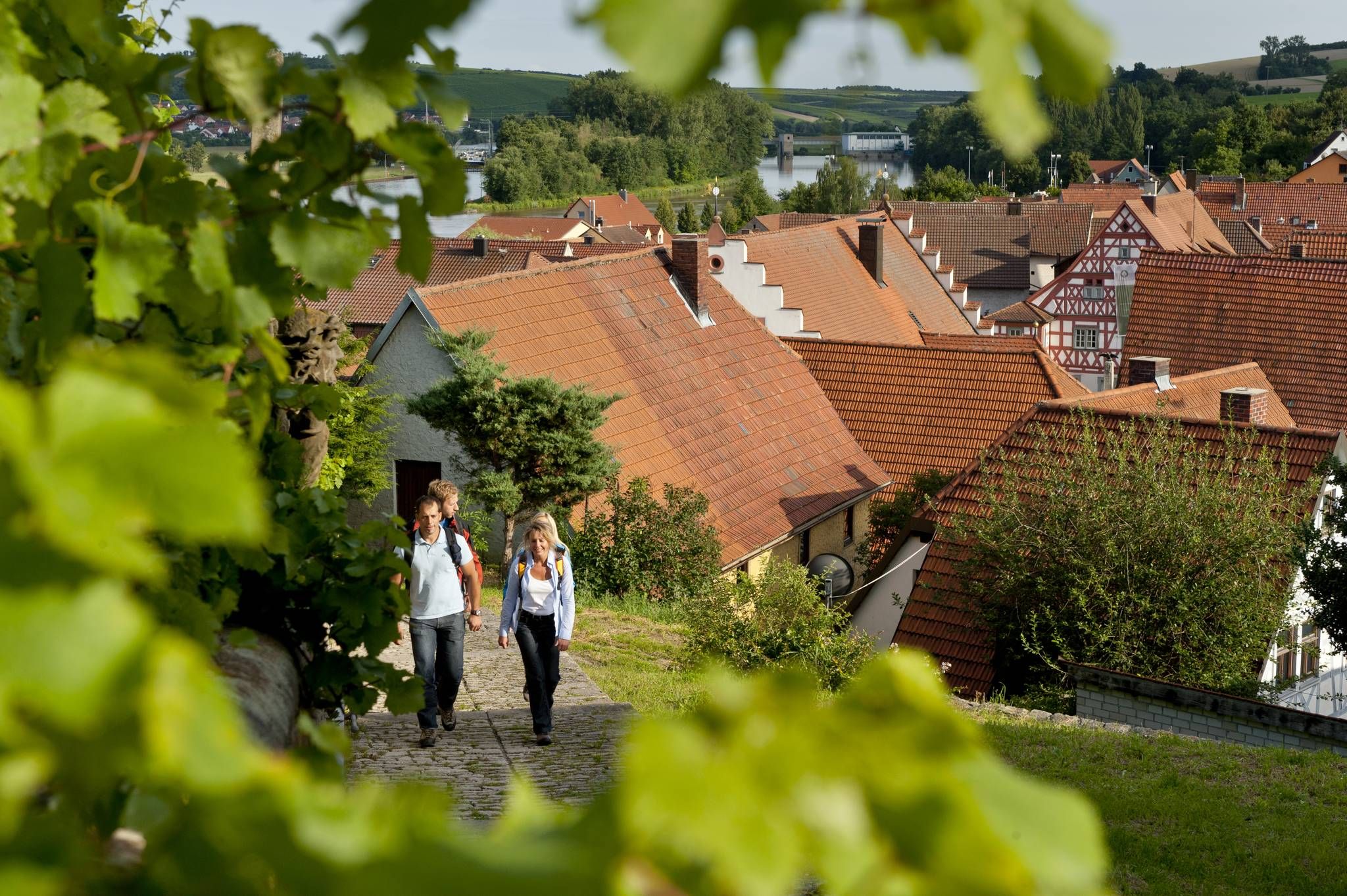
Other adventures around Grafenrheinfeld

Tips from the Community

Small pond in the Grafenrheinfeld municipal forest. Good hiking and biking trails.
1
0
In the Tännig valley, east of Grafenrheinfeld, a small dune field is located in an extensive former mining area of Pleistocene drifting sand. Westerly winds deposited the sand in sheltered areas during the cold periods of the last 2.6 million years. The most striking dune is accessible via a hiking trail (Auenwaldweg) that runs directly past it. Two larger sand outcrops exist. The dune and its surroundings are under special protection as a protected landscape feature.
0
0
In the Tännig valley, east of Grafenrheinfeld, a small dune field is located in an extensive former mining area of Pleistocene drifting sand. Westerly winds deposited the sand in sheltered areas during the cold periods of the last 2.6 million years. The most striking dune is accessible via a hiking trail (Auenwaldweg) that runs directly past it. There are two larger sand outcrops. The dune and its surroundings are under special protection as a protected landscape feature.
0
0
Unfortunately, dogs are not allowed. It's better to take a walk south of the lake. It's also interesting to see how many prohibition signs have been posted around the lake.
0
0

Ideal for bird watching or photography
1
0

Good for a short walk at any time of year
1
0

Nuclear power plant after blowing up the cooling towers
0
0

Small chapel directly on the lake
0
0
Frequently Asked Questions
How many hiking trails are accessible from bus stations around Grafenrheinfeld?
There are over 40 hiking trails around Grafenrheinfeld that are easily accessible from bus stations. These routes vary in difficulty, with 23 easy, 17 moderate, and 2 difficult options available.
Are there any easy, family-friendly hikes accessible by bus in Grafenrheinfeld?
Yes, Grafenrheinfeld offers several easy routes perfect for families. A good option is the Weeping Willow by the Lake – Sauerstücksee loop, which is 5.6 km long and takes about 1 hour 25 minutes. The region's flat riverine landscapes along the Main are generally well-suited for leisurely walks.
What kind of natural landscapes can I expect to see on these bus-accessible hikes?
The bus-accessible hikes around Grafenrheinfeld showcase diverse natural landscapes, primarily featuring the picturesque Main River and its extensive floodplains. You'll encounter significant nature reserves like the Altmain Nature Reserve and the Garstadt Wood Nature Reserve, as well as unique geological formations such as the Tännig Sand Dune. Many routes also pass by various lakes, including the Sauerstücksee and Senftenhofsee.
Are there any circular hiking routes starting from bus stops?
Many of the trails around Grafenrheinfeld are circular, making them convenient for starting and ending at the same bus stop. For example, the Sauerstücksee – Schweinfurt Quarry Lake loop is a moderate 11 km circular route, and the Chapel by Lake Tasch – Altmain Nature Reserve loop offers a 9.5 km circular experience.
What are some notable landmarks or viewpoints along the hiking trails?
Along the trails, you can discover several interesting landmarks and viewpoints. The Tännig Sand Dune is a unique geological feature. You might also spot the Birdwatching tower in the Garstadt bird sanctuary, offering views of local wildlife. The Main River Promenade Near Schweinfurt provides scenic river views, and the Wipfeld Ferry offers a unique experience to cross the Main.
Can I find dog-friendly hiking trails accessible by public transport in Grafenrheinfeld?
Yes, many trails in Grafenrheinfeld are suitable for hiking with dogs. The natural reserves and river paths provide ample space for walks. Always ensure your dog is on a leash, especially in protected areas like the Altmain Nature Reserve, to protect local wildlife. Specific leash rules may vary, so it's always good to check local signage.
What is the best time of year to go hiking in Grafenrheinfeld?
Grafenrheinfeld offers pleasant hiking experiences throughout much of the year. Spring and autumn are particularly beautiful, with mild temperatures and vibrant colors along the Main River and in the nature reserves. Summer is also popular, especially if you plan to combine your hike with a visit to the Naturbadesee Grafenrheinfeld for a swim. Winter hikes can be serene, especially along the quiet forest paths of the Schwarze Lache, but always check trail conditions.
Are there any longer, more challenging hikes from bus stations?
For those seeking a greater challenge, the Tännig Sand Dune – Senftenhofsee loop is a difficult 21 km route that takes approximately 5 hours and 20 minutes. This trail leads through the unique Tännig Sand Dune and offers beautiful single tracks between the old Main and the former nuclear power plant, where many waterfowl can be observed.
What do other hikers say about the trails around Grafenrheinfeld?
The hiking trails around Grafenrheinfeld are highly rated by the komoot community, with an average score of 4.5 out of 5 stars from nearly 3,000 ratings. Reviewers often praise the well-maintained paths, the peaceful riverine scenery, and the accessibility of the routes from public transport, making it easy to explore the region's natural beauty.
Are there places to eat or rest near the bus-accessible hiking trails?
Yes, the region around Grafenrheinfeld offers various opportunities for refreshments. Along the Main River, you'll find numerous rest areas designed for cyclists and hikers. While specific pubs or cafes directly at bus stops might vary, the proximity to towns like Schweinfurt (accessible by bus) means you can easily find dining options. The Main River Promenade Near Schweinfurt is a good area to find facilities.
Can I find hikes that offer views of the Main River?
Absolutely. The Main River is a central feature of the Grafenrheinfeld landscape, and many bus-accessible hikes offer stunning views of its winding course. Routes like the Chapel by Lake Tasch – Altmain Nature Reserve loop and the Garstadt Wood Nature Reserve – Scenic view of Garstadt loop provide excellent opportunities to enjoy the river scenery, often with views across the water and its floodplains.
Most popular routes around Grafenrheinfeld
Most popular attractions around Grafenrheinfeld

Get inspired with the komoot mobile app


Explore more
Browse the best Hikes in other regions.
