The best hikes from bus stations around Issum
4.4
(533)
2,365
hikers
126
hikes
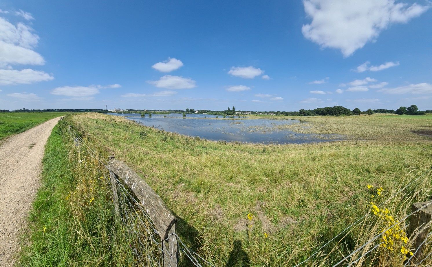
Bus Station hikes Issum offer access to a predominantly flat Lower Rhine landscape, characterized by river landscapes and tranquil rural surroundings. The region features diverse hiking trails, including sections of the Lower Rhine Trail, and encompasses natural areas like the Fleuthkuhlen Nature Reserve. Wooded areas and various water bodies contribute to the varied terrain, providing accessible routes for different skill levels.
Best bus station hiking trails around Issum
- The most popular bus station hiking route is Fallow Deer Enclosure –…
Last updated: July 10, 2026
4.7
(67)
278
hikers
6.31km
01:40
50m
50m
Easy hike. Great for any fitness level. Easily-accessible paths. Suitable for all skill levels.
4.6
(16)
89
hikers
4.01km
01:04
40m
40m
Easy hike. Great for any fitness level. Easily-accessible paths. Suitable for all skill levels.

Sign up for free
4.4
(5)
21
hikers
10.3km
02:37
20m
20m
Moderate hike. Good fitness required. Easily-accessible paths. Suitable for all skill levels.
4.0
(3)
27
hikers
8.10km
02:05
40m
40m
Moderate hike. Good fitness required. Easily-accessible paths. Suitable for all skill levels.
4.8
(10)
26
hikers
Moderate hike. Good fitness required. Easily-accessible paths. Suitable for all skill levels.
Get access to more routes and recommendations from other explorers.
Sign up for free
Already have an account?
Our route recommendations are based on thousands of hikes, rides, and runs completed by other people on komoot.
Start today with a free account
Your next adventure awaits.
Login or Signup
Popular around Issum
Other adventures around Issum

Tips from the Community

A parked wagon on the former railway line between Moers and Sevelen
0
0


This café and beer garden is highly recommended. Delicious, hearty food, just as you'd expect from a farm. You can sit in the rustic dining room or in one of the two garden areas.
16
0

https://www.alpen.de/C12572B9002FB9C9/files/flyer_rundwanderweg_leucht.pdf/$file/flyer_rundwanderweg_leucht.pdf?OpenElement https://www.alpen.de/C12572B9002FB9C9/files/wanderwege_leucht_2.pdf/$file/wanderwege_leucht_2.pdf?OpenElement "... Do you love nature and the forest? Then visit the Leucht forest with its beautiful and diverse landscape! We want to inspire you to explore our forest and experience exciting and unusual things. Discover huge, ancient trees, burial mounds from long ago, or make yourself comfortable in Lower Rhine farm cafés, beer gardens, and restaurants. The Leucht forest is a 12,000-hectare forest area. It lies between the Alps and Kamp-Lintfort and is characterized by oak and beech forests. Your destination could be one of the three nature reserves located in the forest area: the "Saure Venn," a small peat bog on the so-called Leichenweg, the "Birkenbruch" (Birch Swamp) on the Issumer Weg east of Xantener Straße, or the "Erlenbruchwald" (Alder Swamp Forest) on the edge of the Leucht forest, located on the Rennweg. Experience the diverse landscapes so typical of the Lower Rhine region. The Alpen Local History and Tourist Association, with the support of Volksbank Niederrhein eG, has placed post markers in the Leucht forests. You can use the colored posts to orient yourself and explore different routes in the forest. Choose between the BLUE route (4.6 km), the RED route (6.0 km), and the GREEN route (9.5 km), depending on your mood and fitness level.
0
0


Good to know: every bank has an individual number for emergencies where you can give your location to 112
3
0

Beautiful path that is easy to walk and provides shade in summer
0
0

The Issumer Fleuth stretches from Sevelen via Issum, Geldern to Kapellen
1
0
Frequently Asked Questions
How many bus station hiking trails are available around Issum?
There are over 120 hiking trails around Issum that are accessible from bus stations, offering a wide variety of options for exploring the Lower Rhine landscape.
What kind of terrain can I expect on bus-accessible hikes in Issum?
The region around Issum is characterized by a predominantly flat Lower Rhine landscape, making most bus-accessible trails suitable for various skill levels. You'll encounter picturesque river landscapes, tranquil rural surroundings, and diverse natural features like wooded areas and water bodies.
What is the best time of year for hiking from bus stations in Issum?
Spring and autumn are ideal for hiking in Issum, as the natural scenery is particularly vibrant with colors. Summer also offers pleasant conditions, especially on trails that pass through shaded wooded areas.
Are there easy hiking options accessible by bus in Issum?
Yes, a significant number of bus-accessible trails in Issum are rated as easy. For example, the Fallow Deer Enclosure – Red Deer Enclosure loop from Sevelen is an easy 6.3 km route, and the Red Deer Enclosure – Fallow Deer Enclosure loop from Rheurdt offers a shorter, easy 4 km option.
Can I find circular hiking routes starting near bus stops in Issum?
Absolutely. Many bus-accessible routes in Issum are circular, allowing you to start and end your hike at the same bus stop. The Issumer Fleuth – Fleuthkuhlen Nature Reserve loop from Issum is a moderate 10.3 km circular trail, perfect for exploring the local nature reserve.
Are there longer, more challenging bus-accessible hikes in Issum?
While the region is generally flat, there are moderate options for longer hikes. The View of the Open Field – Hiking trails in Die Leucht loop from Tersteegen is a moderate 12.9 km route that allows for a more extended exploration of the landscape.
What natural features can I see on bus-accessible hiking trails in Issum?
You can explore diverse natural features such as the unique floodplain landscapes of the Bislicher Insel Nature Reserve, the tranquil Fleuthkuhlen Nature Reserve, and the elevated areas of the Bönninghardt, a geological formation from the Ice Age. Many routes also pass through shady wooded areas and along various water bodies.
Are there any historical or cultural sights along bus-accessible routes?
Yes, some trails combine natural beauty with historical insights. You might encounter sections near the former Kloster Kamp with its baroque terraced gardens, or pass by remnants of the historical Fossa Eugeniana. The Historic Town Centre of Wachtendonk is also a notable nearby attraction.
Are the bus-accessible hiking trails in Issum suitable for families?
Many trails are well-suited for families, thanks to the generally flat terrain. The Oermter Berg area, for instance, offers beautiful circular hiking routes that are particularly family-friendly. Look for easy-rated routes for a comfortable family outing.
Are bus-accessible hiking trails in Issum dog-friendly?
Most hiking trails in the Issum region are dog-friendly, allowing you to enjoy the outdoors with your canine companion. It's always recommended to keep dogs on a leash, especially in nature reserves or near wildlife, and to be mindful of local regulations.
Are there places to rest or grab refreshments along bus-accessible routes?
Yes, several routes offer opportunities for breaks. You might find designated rest areas like the Lügenecke Rest Area or the Inviting rest area. Some trails also lead past small villages or rural establishments where you can find refreshments.
What do hikers enjoy most about the bus-accessible trails in Issum?
The komoot community highly rates the trails around Issum, with an average score of 4.4 stars from over 450 ratings. Hikers often praise the peaceful rural scenery, the well-maintained paths, and the accessibility of these routes via public transport, making it easy to explore the charming Lower Rhine landscape.
Most popular routes around Issum
Most popular attractions around Issum

Get inspired with the komoot mobile app


Explore more
Browse the best Hikes in other regions.
