The best family-friendly hikes and walks around Selfkant
4.3
(511)
2,533
hikers
158
hikes
Family friendly hiking trails around Selfkant are characterized by generally flat and accessible terrain, making the region suitable for various fitness levels. The landscape features expansive forests, verdant meadows, and open fields, with the Rur river meandering through the area. Notable natural features include the Teverener Heide nature reserve and Tüdderner Fenn, where the Rodebach stream forms part of the German-Dutch border. This blend of natural environments provides diverse routes for outdoor exploration.
Best family friendly hiking trails around Selfkant
- The most popular family friendly hiking route is Westernmost Point of Germany – Chapel 't Hout loop from Nieuwstadt, an easy 3.5 miles (5.6 km) trail that takes 1 hour 24 minutes to complete, exploring the unique border area.
- Another top favourite among local hikers is Rodebach Stream – Rodebach Creek loop from Süsterseel, a moderate 5.9 miles (9.5 km) path. This route follows the Rodebach stream through diverse landscapes, offering varied scenery.
- Local hikers also love the Eifel Fishing Pond – Schwienswei Pond loop from Tüdderner Fenn, a 7.8 miles (12.6 km) trail leading through the Tüdderner Fenn nature reserve and past the Schwienswei Pond, often completed in about 3 hours 12 minutes.
- Hiking around Selfkant is defined by flat terrain, the Rur river, and cross-border paths along the Dutch border. The network offers options for different ability levels, from easy strolls to moderate excursions.
- The routes in Selfkant are highly rated by the komoot community with an average score of 4.3 stars from over 400 reviews. More than 2,000 hikers have used komoot to explore Selfkant's varied terrain.
Last updated: July 10, 2026
3.8
(44)
193
hikers
Easy hike. Great for any fitness level. Easily-accessible paths. Suitable for all skill levels.
4.5
(49)
149
hikers
9.61km
02:28
40m
40m
Moderate hike. Good fitness required. Easily-accessible paths. Suitable for all skill levels.

Sign up for free
4.4
(23)
91
hikers
12.6km
03:12
30m
40m
Moderate hike. Good fitness required. Easily-accessible paths. Suitable for all skill levels.
4.5
(17)
58
hikers
9.47km
02:24
20m
20m
Moderate hike. Good fitness required. Easily-accessible paths. Suitable for all skill levels.
4.4
(16)
48
hikers
11.1km
02:52
50m
50m
Moderate hike. Good fitness required. Easily-accessible paths. Suitable for all skill levels.
Get access to more routes and recommendations from other explorers.
Sign up for free
Already have an account?
Our route recommendations are based on thousands of hikes, rides, and runs completed by other people on komoot.
Start today with a free account
Your next adventure awaits.
Login or Signup


Tips from the Community

Beautiful hiking trails can be found here
0
0
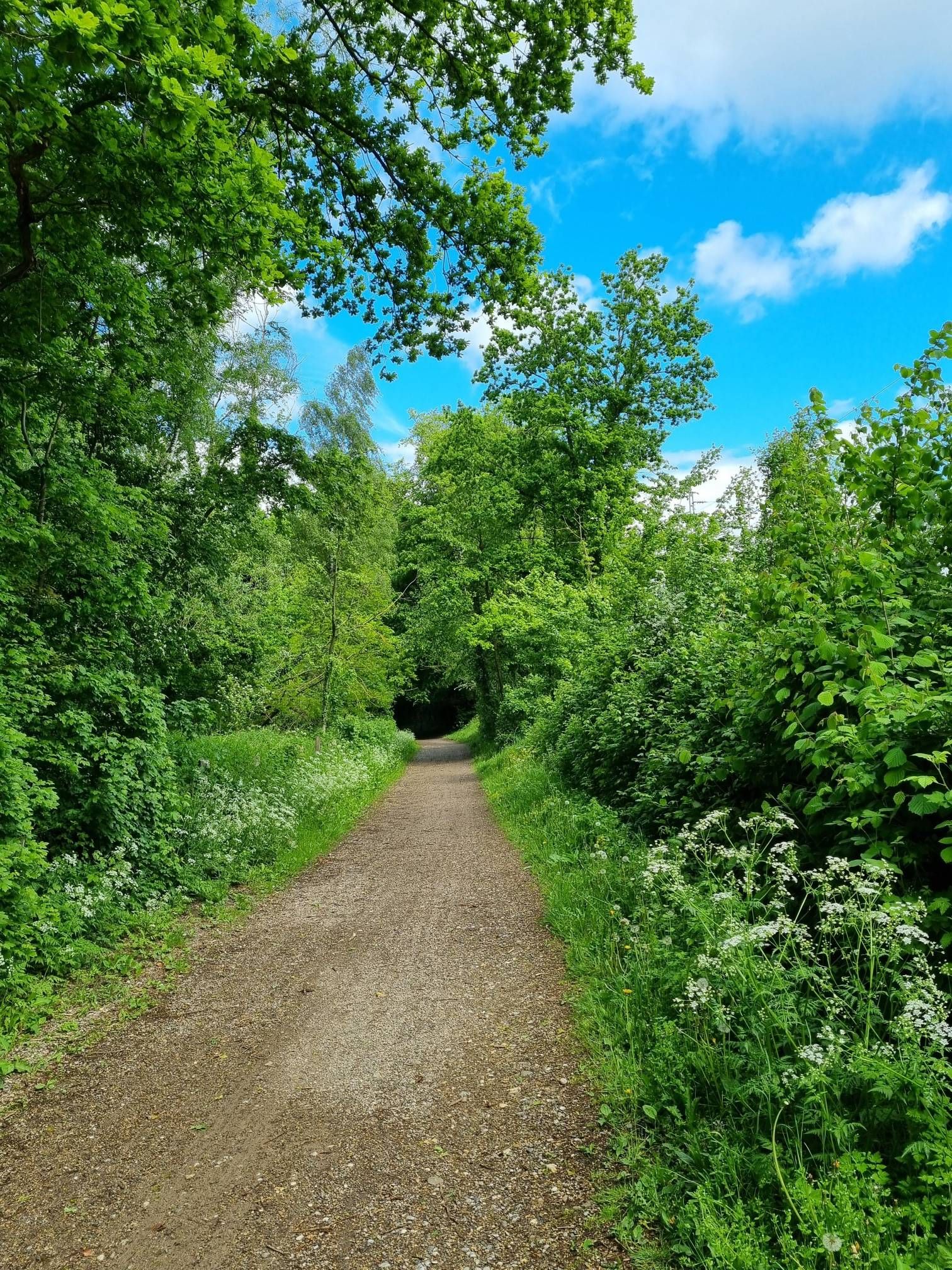
Many flowers and plants grow here, you have to look for the hiking trail between the greenery
0
0
Here are some old gravel pits, now in use as a fishing pond
0
0
A large pond, seemingly with many fish. Fishing is not allowed according to the signs, but it is being done
0
0
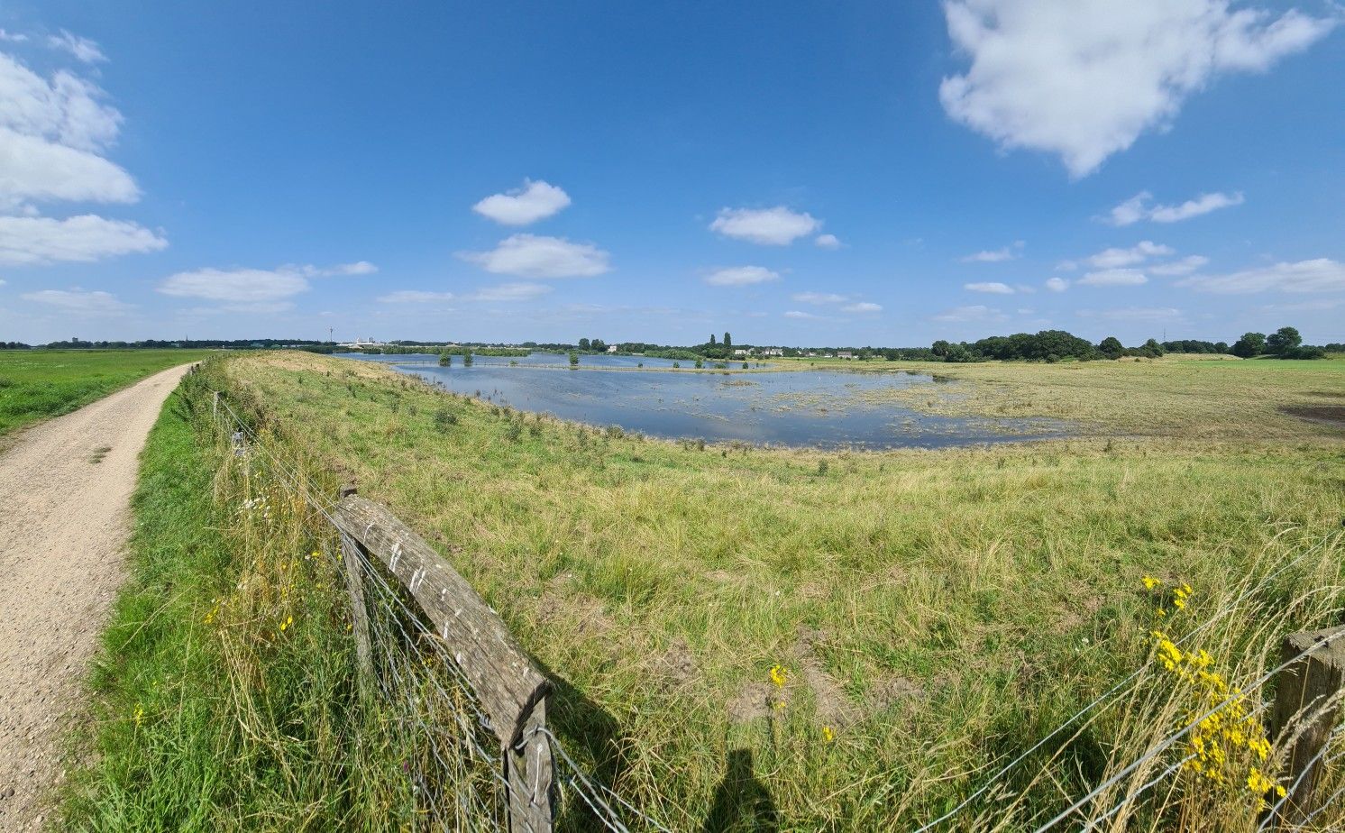
From a distance you can already see this large pond. Frogs also live here, clearly audible.
0
0
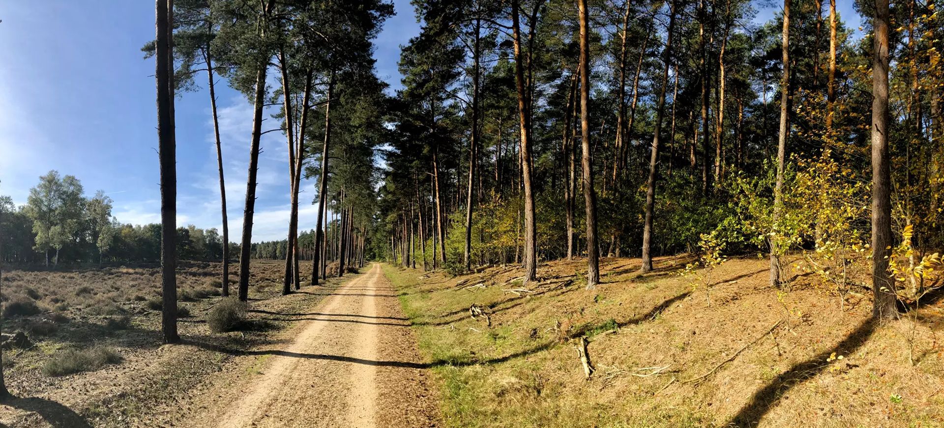
Beautiful walking paths in the forest,
0
0

A straight, canalized stream that creates a pleasant atmosphere at the bench and accompanies you to Germany's famous westernmost point. A little further on the other side, a small bridge leads you into some natural surroundings. There's also a wooden platform by the bench for those who want to sit and contemplate.
3
0
Frequently Asked Questions
How many family-friendly hiking trails are there in Selfkant?
Selfkant offers a wide selection of family-friendly hiking trails, with over 120 routes suitable for various ages and abilities. Most of these, around 98, are classified as easy, making them perfect for a relaxed family outing.
What kind of natural features can we expect to see on family hikes in Selfkant?
The Selfkant region is characterized by its diverse natural landscapes. You'll find expansive forests, verdant meadows, and open fields. The Rur river and the Rodebach stream meander through the area, providing picturesque routes. Nature reserves like the Teverener Heide and Tüdderner Fenn offer unique ecological insights and tranquil spots like the Schwienswei vijver (pond).
Are there any easy circular routes suitable for families?
Yes, many of the family-friendly trails in Selfkant are circular, offering convenient starting and ending points. For an easy and historically interesting loop, consider the Westernmost Point of Germany – Chapel 't Hout loop from Nieuwstadt, which is just over 5.5 km long and explores a unique border area.
When is the best time of year to go hiking with family in Selfkant?
The best seasons for family hiking in Selfkant are spring and summer. Spring brings mild temperatures and the awakening of nature, while summer offers pleasant conditions with the added benefit of shady sections along many trails. The generally flat terrain makes it enjoyable throughout these warmer months.
What do other hikers enjoy most about the family trails in Selfkant?
The komoot community highly rates the hiking experience in Selfkant, with an average score of 4.3 stars. Hikers often praise the well-signposted trails, the flat and accessible terrain perfect for all ages, and the peaceful natural environments found in areas like the Tüdderner Fenn.
Are there any trails suitable for strollers or very young children?
Selfkant's generally flat topography makes many trails suitable for strollers or families with very young children. While specific stroller-friendly routes aren't always explicitly marked, the numerous easy trails with minimal elevation gain are often a good choice. Always check the route details for surface conditions before heading out.
Can we bring our dog on the family-friendly hikes?
Many trails in Selfkant are dog-friendly, allowing you to enjoy the outdoors with your furry companion. However, it's always recommended to keep dogs on a leash, especially in nature reserves like the Teverener Heide, to protect local wildlife and ensure a pleasant experience for all hikers. Please check local regulations for specific areas.
Are there any historical landmarks or points of interest along the family trails?
Absolutely! Beyond natural beauty, Selfkant offers cultural highlights. You can explore historical sites such as a moated castle in Tüddern. The region also features the notable geographical landmark of the Westernmost Point of Germany, which has a documentation area for visitors.
How long do the moderate family hikes typically take?
Moderate family hikes in Selfkant can vary in length and duration. For example, the Rodebach Stream – Rodebach Creek loop from Süsterseel is about 9.5 km and takes around 2.5 hours, while the Bridge Over the Rode Beek – Vloedgraaf loop from Selfkant is 9 km and takes approximately 2 hours and 20 minutes. These are good options for families looking for a slightly longer adventure.
Are there any longer family-friendly routes for a full day out?
For families seeking a longer adventure, the Eifel Fishing Pond – Schwienswei Pond loop from Tüdderner Fenn offers a substantial 12.6 km route, taking around 3 hours and 15 minutes to complete. Another option is the Rodebach Stream – Forest paths in the Tüdderner Fenn loop from Selfkant, which is about 11 km and takes approximately 2 hours and 50 minutes, providing ample time to explore the diverse forest paths.
Most popular routes around Selfkant
Most popular attractions around Selfkant

Get inspired with the komoot mobile app


Explore more
Browse the best Hikes in other regions.
