The best hikes from bus stations around Thaur
4.6
(7153)
62,123
hikers
34
hikes
Bus station hiking trails around Thaur are situated at the foot of the Nordkette mountain chain in Tyrol, Austria. The region features a diverse landscape, including the majestic Tyrolean mountains and the Inn River valley. Much of the hiking takes place within the Karwendel Nature Park, offering a mix of alpine scenery, dense woodlands, and open views. The terrain ranges from gentle paths along the valley floor to challenging ascents into the higher alpine areas.
Best bus station hiking trails…
Last updated: June 26, 2026
4.8
(14)
37
hikers
7.58km
02:24
270m
270m
Moderate hike. Good fitness required. Mostly accessible paths. Sure-footedness required.
4.7
(7)
69
hikers
8.46km
04:13
750m
750m
Moderate hike. Good fitness required. Mostly accessible paths. Sure-footedness required.

Sign up for free
4.8
(6)
44
hikers
8.23km
04:09
770m
770m
Hard hike. Good fitness required. Sure-footedness, sturdy shoes and alpine experience required.
5.0
(3)
25
hikers
7.15km
02:12
250m
250m
Moderate hike. Good fitness required. Mostly accessible paths. Sure-footedness required.
3.5
(2)
24
hikers
11.0km
05:12
950m
950m
Hard hike. Very good fitness required. Mostly accessible paths. Sure-footedness required.
Get access to more routes and recommendations from other explorers.
Sign up for free
Already have an account?
Our route recommendations are based on thousands of hikes, rides, and runs completed by other people on komoot.
Start today with a free account
Your next adventure awaits.
Login or Signup
Popular around Thaur
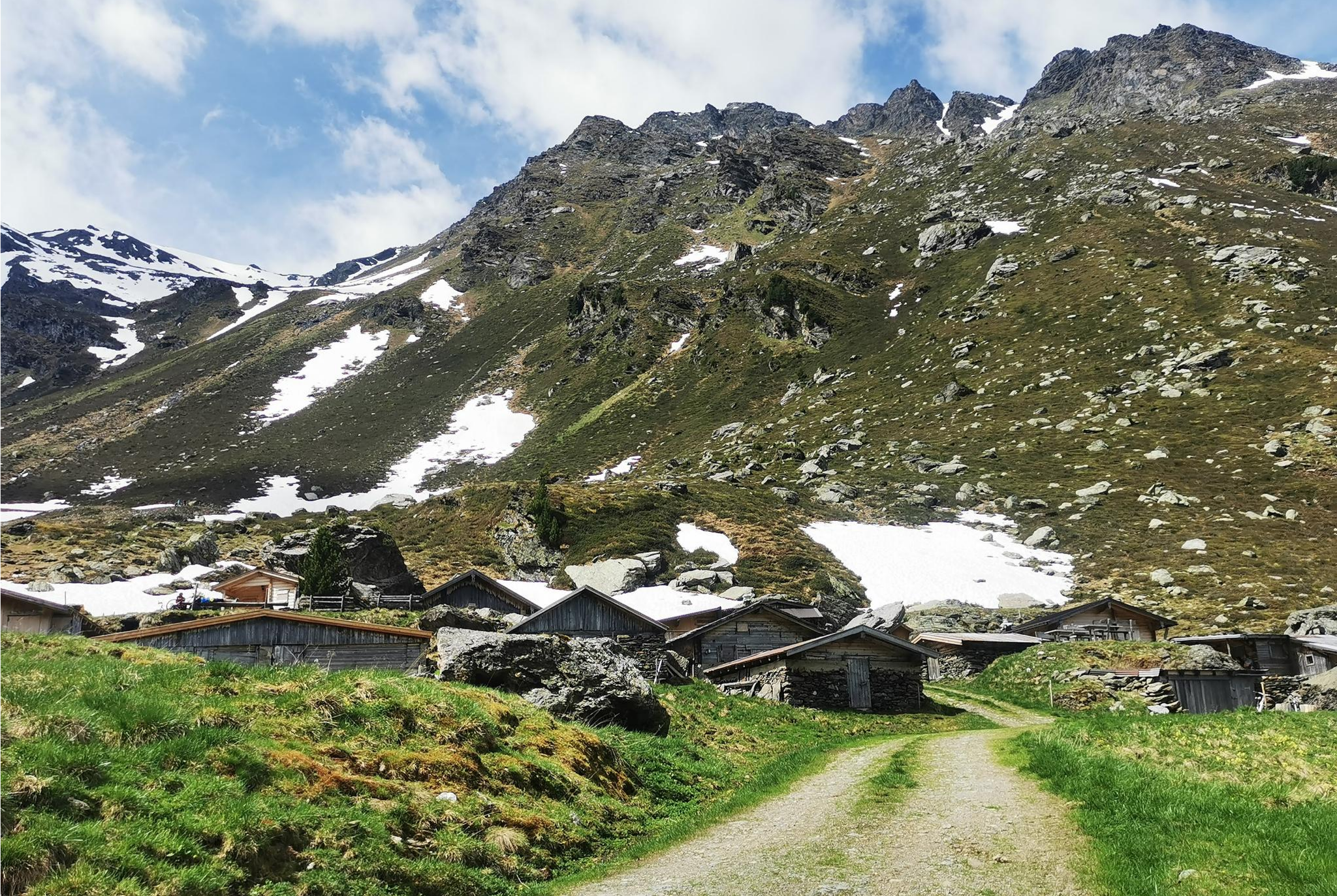
From Alm to Alm – superb hikes in the Hall-Wattens Region

The most beautiful autumn hikes in Hall-Wattens

Where giants meet ghosts – Tyrol’s Mountain Legends long-distance trail
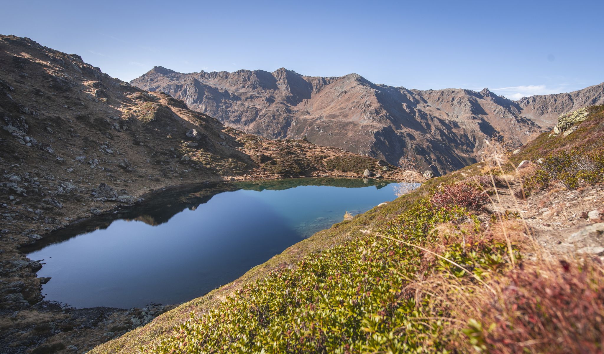
Hikes in Austria’s Hall-Wattens region – discover powerful places
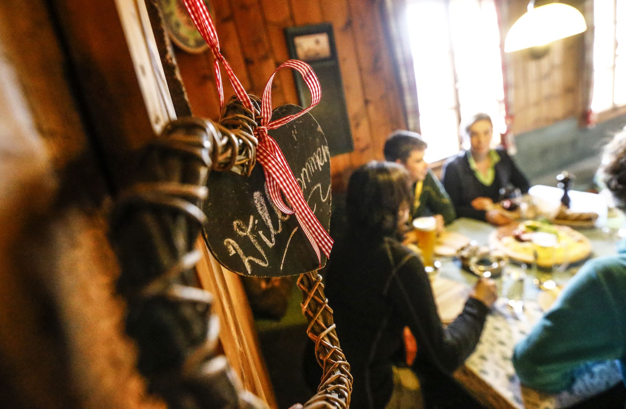
Hike hut to hut in Austria – foodie Tours in the Hall-Wattens region
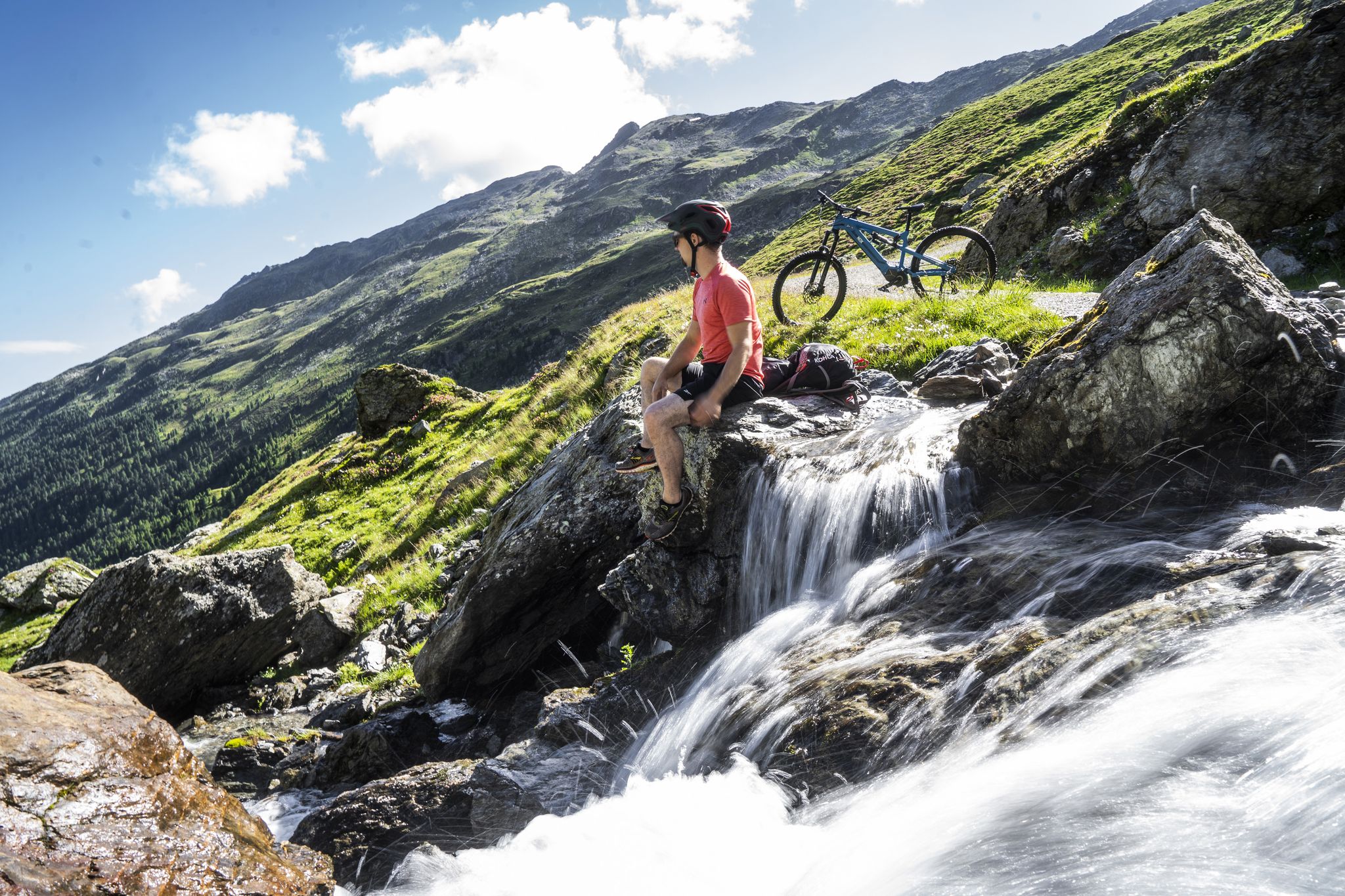
For foodies, adventurers and families – MTB Paradise Hall-Wattens
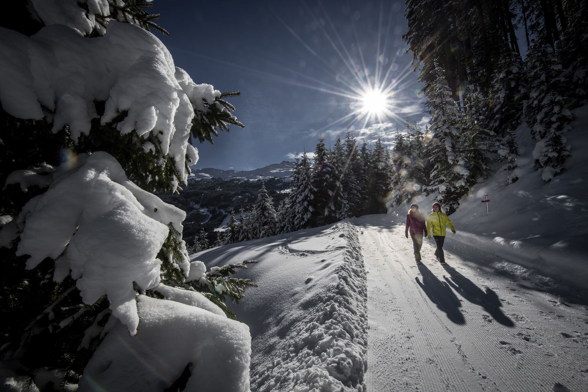
Zauberhaftes Winterwandern in der Region Hall-Wattens
Other adventures around Thaur


Tips from the Community

Castle ruins above Thaur with beautiful views
1
0

Great view over the Inn Valley
0
0

Prepared winter hiking trail to the beautifully situated Romedikirchl church. The view rewards the sometimes quite steep climb.
1
0


From there you can hike further to Hungerburg, especially recommended in the warm season as there is a lot of forest shade.
1
0

The new showroom and the interactive tour above Thaur near the Romedikirchl provide insight into the ancient and recent history of the community, St. Romedius and the owls in the Karwendel Nature Park.
1
0

Nice service, good food, great view. All information: https://thaureralm.at
1
1
Frequently Asked Questions
How many bus station hiking trails are available around Thaur?
There are over 30 hiking routes around Thaur that are easily accessible from bus stations. These routes cater to various fitness levels, including 13 easy, 14 moderate, and 7 difficult trails.
What are some easy bus-accessible hikes in Thaur?
For an easy and scenic walk, consider the Romedikirchl – Thaur Castle Ruins loop from Thaur. This 3.4 km route offers gentle ascents and takes you past historical sites. The Panorama Trail around Thaur is also known to be family-friendly and easily accessible.
Are there any circular bus-accessible hikes in Thaur?
Yes, many of the bus-accessible routes in Thaur are circular, allowing you to start and end at the same bus stop. Examples include the moderate Häfner Path Spring – Romedikirchl loop from Thaur and the more challenging Thaur Castle Ruins – Emperor's Column loop from Thaur.
What is the best time of year for bus station hikes in Thaur?
The best seasons for hiking in Thaur are spring and autumn. During these times, the natural scenery is particularly vibrant with colorful flower fields or golden foliage, and the air is clear, offering excellent visibility of the majestic Tyrolean mountains.
Are there any family-friendly bus-accessible hikes in Thaur?
Absolutely! The Panorama Trail around Thaur is particularly suitable for families with children. Additionally, easy loops around the Romedikirchl and the Thaur Castle Ruins, such as the Romedikirchl – Thaur Castle Ruins loop from Thaur, provide accessible and enjoyable experiences for all ages.
What kind of views can I expect on bus-accessible hikes in Thaur?
Thaur's location at the foot of the Nordkette mountain chain provides stunning vistas. Many routes offer wide views over the Inn valley, the majestic Tyrolean mountains, and the serene Inn River. Hikes within the Karwendel Nature Park, such as those leading to the Törl, also provide extensive views of Innsbruck and the surrounding alpine landscape.
What historical or natural landmarks can I see along these routes?
Thaur's bus-accessible trails offer access to several notable landmarks. You can explore the Fallbach Waterfall (Absam), the idyllic Romedikirchl church, and the impressive Fragenstein Castle Ruins. Some routes also lead towards the Kaisersäule (Emperor's Column) high above the village, or through the historic Halltal valley with traces of old salt mining.
Are there any bus-accessible hikes that lead to alpine huts or places to eat?
Yes, several routes lead to or past the Thaurer Alm, which often provides refreshments. For example, the moderate Thaurer Alm – Romedikirchl loop from Thaur is a great option. While specific cafes directly at bus stops might vary, many trails connect to areas where you can find traditional Tyrolean hospitality.
What do other hikers enjoy most about hiking in Thaur?
The hiking trails around Thaur are highly rated by the komoot community, with an average score of 4.55 stars from over 6,700 ratings. Reviewers often praise the diverse landscapes, from the tranquil Inn River to the dramatic alpine scenery of the Nordkette, and the well-maintained paths that cater to all levels of hikers.
Can I find challenging bus-accessible mountain hikes in Thaur?
Yes, for those seeking more strenuous adventures, Thaur offers several challenging bus-accessible routes. The difficult Thaur Castle Ruins – Emperor's Column loop from Thaur involves significant elevation gain. Another demanding option is the Thaurer Stollen – Guggermauer Cabin loop from Thaur, which also provides a substantial climb.
Are there any waterfalls accessible via bus-friendly hikes in Thaur?
While not directly on every bus-accessible route, the region around Thaur is home to beautiful waterfalls. You can explore highlights like the Fallbach Waterfall (Absam) or the Waterfall and Wooden Bridge in Tobel Gorge, which can be incorporated into or accessed from various hiking itineraries in the area.
Most popular attractions around Thaur

Get inspired with the komoot mobile app


Explore more
Browse the best Hikes in other regions.
