The best hikes from bus stations around Wals-Siezenheim
4.6
(17124)
96,011
hikers
84
hikes
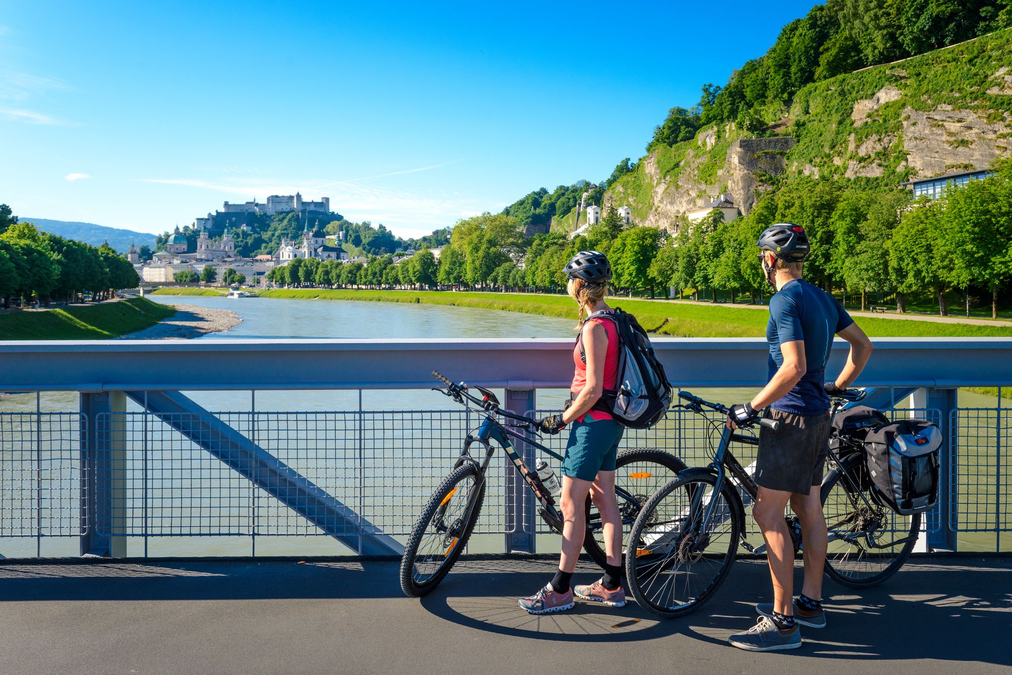
Bus station hiking trails around Wals-Siezenheim offer access to a diverse landscape of rolling hills, expansive meadows, and natural forests. The region is characterized by its proximity to the Untersberg mountain and features scenic paths along the Salzach and Saalach rivers. Hikers can explore varied terrain, from tranquil moorland in the Walser Moos Nature Reserve to routes with views of the surrounding Alps.
Best bus station hiking trails around Wals-Siezenheim
- The most popular bus station hiking route is View of…
Last updated: August 20, 2026
5.0
(4)
105
hikers
8.17km
02:06
40m
40m
Moderate hike. Good fitness required. Easily-accessible paths. Suitable for all skill levels.
4.5
(46)
205
hikers
5.99km
01:32
20m
20m
Easy hike. Great for any fitness level. Easily-accessible paths. Suitable for all skill levels.

Sign up for free
4.8
(4)
55
hikers
4.88km
01:15
20m
20m
Easy hike. Great for any fitness level. Easily-accessible paths. Suitable for all skill levels.
5.0
(5)
81
hikers
Easy hike. Great for any fitness level. Easily-accessible paths. Suitable for all skill levels.
4.7
(3)
30
hikers
17.1km
05:09
410m
410m
Hard hike. Very good fitness required. Mostly accessible paths. Sure-footedness required.
Get access to more routes and recommendations from other explorers.
Sign up for free
Already have an account?
Our route recommendations are based on thousands of hikes, rides, and runs completed by other people on komoot.
Start today with a free account
Your next adventure awaits.
Login or Signup

Other adventures around Wals-Siezenheim


Tips from the Community

Really nice garden and good food. Good for a break
0
0

Beautiful wooden bridge over the Saalach, which here separates Bavaria and the Salzburgerland.
0
0


Closed on Wednesdays and Saturdays
1
0

Here you have a beautiful view of the Salzburg mountains
0
0
New Siezenheimer Footbridge
0
0

closed on 11.06.25 from 7 - 17 o'clock
0
0

Restaurant is open. Great view from the terrace
0
1
Frequently Asked Questions
How many bus station hiking trails are available in Wals-Siezenheim?
There are over 80 bus-accessible hiking trails around Wals-Siezenheim, offering a wide range of options for all skill levels. You'll find everything from easy riverside strolls to more challenging routes into the surrounding hills.
What kind of terrain can I expect on bus-accessible hikes in Wals-Siezenheim?
The bus-accessible hikes in Wals-Siezenheim feature a diverse landscape, including rolling hills, expansive meadows, and natural forests. Many routes also follow the scenic Salzach and Saalach rivers, providing pleasant, mostly flat paths. The region's proximity to the Untersberg mountain means some trails offer more varied elevation.
Are there any easy, family-friendly bus station hikes?
Yes, Wals-Siezenheim offers many easy, family-friendly routes accessible by bus. For a gentle walk along the river, consider the Restored Saalach River – Hammerauer Bridge loop from Hammerau, which is just under 6 km. Another great option is the Hammerauer Steg – Hammerauer Bridge loop from Hammerau, a shorter 4.8 km route perfect for a relaxed outing.
Can I find circular routes that start and end at a bus station?
Many of the bus-accessible trails in Wals-Siezenheim are circular, allowing you to return to your starting point without needing additional transport. For example, the View of Gaisberg – View of Untersberg loop from Maxglan West offers scenic views and brings you back to the bus stop.
What natural attractions can I see along bus-accessible hiking trails?
Wals-Siezenheim's bus-accessible trails offer access to several natural highlights. You can explore the tranquil Walser Moos Nature Reserve, known for its unique moorland ecosystem. For impressive water features, consider routes that lead towards the Almbach Gorge and the stunning Sulzer Waterfall. The Saalach River itself is a beautiful feature along many paths.
Are there any challenging bus station hikes for experienced hikers?
While many routes are easy to moderate, there are options for more experienced hikers. The Hammerauer Bridge – Neubichler Alpine Hut loop from Wals-Siezenheim is a difficult, longer route spanning over 17 km with significant elevation gain, offering a more strenuous adventure.
Are the bus station hiking trails in Wals-Siezenheim dog-friendly?
Most hiking trails in Wals-Siezenheim are dog-friendly, provided dogs are kept on a leash, especially in nature reserves and near livestock. Always check local signage for specific rules. The riverbank trails, like those along the Saalach, are generally good options for walks with dogs.
What do other hikers enjoy most about bus-accessible hiking in Wals-Siezenheim?
The komoot community highly rates the hiking experience in Wals-Siezenheim, with an average score of 4.57 out of 5 stars from over 14,000 ratings. Reviewers often praise the accessibility of trails via public transport, the diverse and picturesque landscapes, and the well-maintained paths suitable for various fitness levels.
Are there any viewpoints or panoramic spots accessible by bus?
Yes, some bus-accessible routes offer excellent viewpoints. The View of Gaisberg – View of Untersberg loop from Maxglan West provides scenic vistas of the surrounding mountains, including the iconic Untersberg, which forms a stunning backdrop to the region.
Can I find hikes near Wals-Siezenheim bus stations that include a stop at a cafe or restaurant?
Many routes in and around Wals-Siezenheim pass through or near villages and towns where you can find cafes and restaurants. The region is known for its hospitality, so it's often possible to combine your hike with a refreshment stop. For longer routes, like the Hammerauer Bridge – Neubichler Alpine Hut loop, you might find mountain huts or guesthouses along the way.
What are some longer bus-accessible routes for a full day out?
For a longer day hike, consider the Hammerauer Bridge – Neubichler Alpine Hut loop from Wals-Siezenheim. This challenging route covers over 17 km and takes approximately 5 hours, offering a more extensive exploration of the area's diverse landscapes.
Are there any bus-accessible hikes that explore river landscapes?
Absolutely. The region is characterized by its rivers, and several bus-accessible routes follow their banks. The Saalach Riverbank Trail – Red Bull Arena Salzburg loop from Red Bull Arena is a moderate 8 km route that offers picturesque views along the Saalach River.
Most popular routes around Wals-Siezenheim
Most popular attractions around Wals-Siezenheim

Get inspired with the komoot mobile app


Explore more
Browse the best Hikes in other regions.
