The best hikes from bus stations around Grödig
4.5
(25519)
132,020
hikers
64
hikes
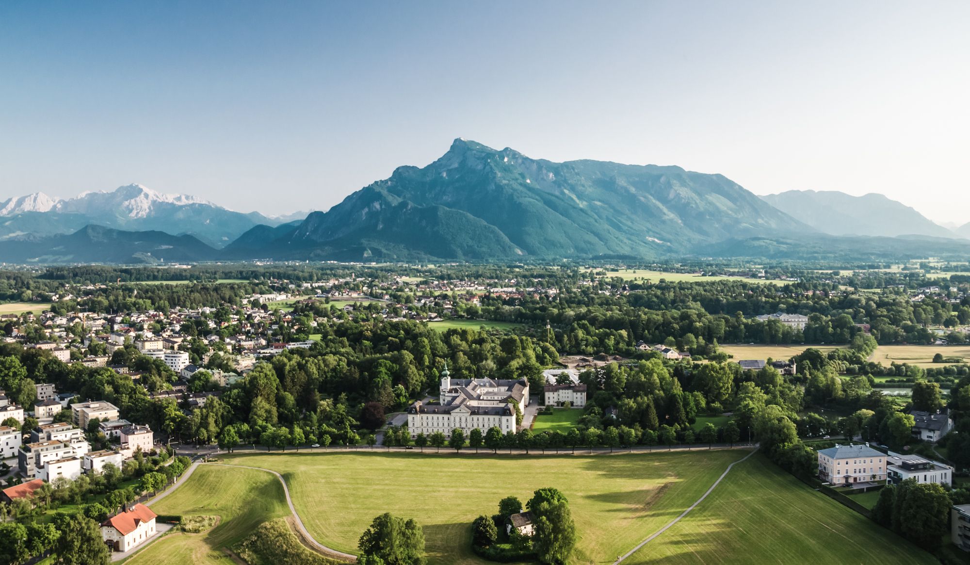
Bus station hiking trails around Grödig offer access to diverse landscapes at the foot of the Untersberg mountain. The region features an extensive network of paths, ranging from challenging mountain ascents to leisurely walks along the Glanbach river and through Aigner Park. Hikers can explore varied terrain including dense forests, alpine scenery, and open areas with panoramic views of the Salzburg region.
Best bus station hiking trails around Grödig
- The most popular bus station hiking route is Adventurous Dopplersteig –…
Last updated: August 20, 2026
4.9
(148)
1,250
hikers
Hard hike. Very good fitness required. Sure-footedness, sturdy shoes and alpine experience required.
4.5
(20)
174
hikers
13.7km
07:24
1,360m
1,360m
Hard hike. Very good fitness required. Mostly accessible paths. Sure-footedness required.

Sign up for free
4.6
(33)
344
hikers
Hard hike. Very good fitness required. Sure-footedness, sturdy shoes and alpine experience required.
4.5
(19)
48
hikers
12.1km
03:59
460m
460m
Moderate hike. Good fitness required. Mostly accessible paths. Sure-footedness required.
4.6
(10)
49
hikers
14.4km
08:06
1,380m
1,380m
Hard hike. Very good fitness required. Sure-footedness, sturdy shoes and alpine experience required.
Get access to more routes and recommendations from other explorers.
Sign up for free
Already have an account?
Our route recommendations are based on thousands of hikes, rides, and runs completed by other people on komoot.
Start today with a free account
Your next adventure awaits.
Login or Signup


Other adventures around Grödig


Tips from the Community

Still closed because the owner apparently does not want passage or a visit. A cycle path is currently being built from Glanegg to Fürstenberg on the L237 around the Gutshof. Status 06_2026
0
0

Great all-round view - from Watzmann to Salzburg.
0
0

Leube Sculpture Park Tree Spiral
0
0

Taking the Reitsteig trail ascent is preferable in sunny weather, as it runs mostly through shady forest. The Dopplersteig trail is more exposed to the sun and is ideal for an afternoon descent.
0
0


When you reach the top, everything suddenly seems vast. The mountain station of the Untersberg cable car spits you out as if from another world. Just a few minutes ago, you were down in the city, among Mozartkugeln and the Glockenspiel – now you're standing on a ridge, between wispy clouds and mountain pines, above a panorama so bold that you can barely breathe, you can only gaze. The Untersberg is not a silent mountain. It tells stories. Of dwarves who are said to live beneath it. Of emperors who sleep there. Of caves so deep that even GPS gives up. And those who set out on the trail – over rugged ridges, through sparse larch forests – might hear these stories, if the wind isn't speaking to the gondola. For some, it's the perfect starting point for traverses; for others, it's a place where you just want to sit and stare at the fog. And sometimes, very rarely, you even see yourself from up here – smaller than you thought, but not lost. Because the Untersberg gives you something: an idea that height is not just a question of meters.
1
0

Art and nature – this combination makes the sculpture trail of the building materials manufacturer Leube Group in Grödig-St. Leonhard a must-see. The romantic path leads along the Königsseeache River and surprises with works of art in the forest. The Leube Sculpture Trail offers insight into modern art. Many of the artists have been Leube's "artists in residence." The trail was opened in 2013 to mark the company's 175th anniversary.
11
0
Frequently Asked Questions
How many hiking trails are accessible by bus around Grödig?
There are over 65 hiking trails around Grödig that are easily accessible by bus. These routes offer a wide range of experiences, from leisurely walks to challenging mountain ascents, all starting conveniently from a bus stop.
What kind of terrain can I expect on bus-accessible hikes near Grödig?
The terrain varies significantly. You'll find everything from gentle, shady forest paths at the foot of the Untersberg to more challenging, rocky ascents on the mountain itself. Trails also follow the Glanbach river and wind through the adjacent Aigner Park, offering diverse landscapes.
Are there any family-friendly hiking routes accessible by bus in Grödig?
Yes, many sections along the foot of the Untersberg are particularly well-suited for families and children. These easy hikes and walks around Grödig are ideal for short excursions and various fitness levels. Look for routes with lower elevation gain and shorter distances for a pleasant family outing.
Can I find circular hiking routes that start and end at a bus station in Grödig?
Absolutely. Many of the bus-accessible routes around Grödig are designed as circular walks, allowing you to return to your starting point without needing additional transport. For example, the moderate route View of Salzburg – Marktschellenberg Market Square loop from Grödig is a great option for a circular hike.
What natural features or landmarks can I see on hikes from Grödig's bus stations?
Grödig's bus-accessible trails offer access to stunning natural features. You can explore the majestic Untersberg mountain, which is steeped in legend, or enjoy views of the Salzburg region and Berchtesgadener Land. The nearby Almbach Gorge (Almbachklamm), with its impressive Sulzer Waterfall, is a notable natural attraction, though it might require a short additional bus ride or walk from the main Grödig bus stops.
What is the best time of year to go hiking from Grödig bus stations?
The best seasons for hiking around Grödig are spring and autumn. During these times, the landscape is adorned with colorful flower meadows, clear mountain views, and golden foliage, making for particularly scenic walks. Summer also offers great hiking, especially at higher altitudes, while winter can be suitable for specific, well-maintained trails.
Are there any challenging hikes accessible by bus for experienced hikers?
Yes, for experienced hikers seeking a challenge, routes ascending the Untersberg mountain are available. For instance, the difficult Adventurous Dopplersteig – Ascent of the Salzburger Hochthron loop from Versickerungsanlage am Rosittenbach offers significant elevation gain and breathtaking views from the Salzburger Hochthron.
What do other hikers say about the bus-accessible trails around Grödig?
The komoot community highly rates the hiking experiences around Grödig, with an average score of 4.55 stars. Reviewers often praise the diverse landscapes, the convenience of public transport access, and the stunning panoramic views, especially from higher elevations like the Untersberg.
Are there any trails from Grödig bus stations that lead to viewpoints?
Many trails offer fantastic viewpoints. The Untersberg mountain itself provides spectacular vistas of the Salzburg region and Berchtesgadener Land. Additionally, routes leading towards the Gaisberg, a prominent panoramic mountain southeast of Grödig, offer spectacular views over the entire Salzburger Land and the city of Salzburg.
Can I find cafes or restaurants near the bus stations after a hike in Grödig?
Grödig village itself offers various amenities, including cafes and restaurants, which are typically within walking distance of the main bus stops. You can enjoy a refreshing drink or a meal after your hike, making for a convenient and pleasant end to your outdoor adventure.
Are there any less crowded hiking options accessible by bus around Grödig?
While popular spots like the Untersberg can see more visitors, many trails along the Glanbach river or through the Aigner Park offer quieter, more serene experiences. Exploring routes slightly off the main tourist paths, especially during weekdays or outside peak season, can lead to a more peaceful hike.
Most popular routes around Grödig
Most popular attractions around Grödig

Get inspired with the komoot mobile app


Explore more
Browse the best Hikes in other regions.
