The best hikes from bus stations around Verwaltungskreis Thun
4.6
(2891)
21,267
hikers
553
hikes
Bus station hiking trails around Verwaltungskreis Thun are characterized by diverse landscapes, including the expansive Lake Thun, the Bernese Alps, and the Zulg Valley. The region features prominent peaks like Niesen Mountain and Stockhorn, offering varied elevations and panoramic viewpoints. Hikers can explore a mix of forested areas, open meadows, and river trails, alongside impressive gorges. This terrain provides a range of experiences from lakeside paths to more demanding alpine ascents.
Best bus station hiking trails around Verwaltungskreis Thun
- The most popular bus station hiking route is Sigriswiler Rothorn Panorama Trail, a 7.4 miles (11.9 km) trail that takes 5 hours 32 minutes to complete. This difficult route offers panoramic views across the region.
- Another top favourite among local hikers is View of Lake Thun – Grabenmühle Sigriswil loop from Lake Thun, a moderate 3.8 miles (6.1 km) path. This trail provides views of Lake Thun and winds through varied landscapes.
- Local hikers also love the Blueme Observation Tower – View of Lake Thun loop from Sigriswil, a 7.8 miles (12.5 km) trail leading through areas with views of Lake Thun, often completed in about 4 hours 15 minutes.
- Hiking around Verwaltungskreis Thun is defined by lakeside paths, alpine backdrops, and river trails through valleys. The network offers options for different ability levels, from easy walks to more challenging climbs.
- The routes in Verwaltungskreis Thun are highly rated by the komoot community with an average score of 4.6 stars from over 2,300 reviews. More than 19,000 hikers have used komoot to explore Verwaltungskreis Thun's varied terrain.
Last updated: August 20, 2026
4.9
(89)
776
hikers
11.9km
05:32
960m
960m
Hike the difficult 7.4-mile Sigriswil Rothorn Panorama Trail (Route 326) for alpine views and a challenging ascent.
4.6
(77)
285
hikers
6.10km
02:04
310m
310m
Moderate hike. Good fitness required. Easily-accessible paths. Suitable for all skill levels.

Sign up for free
4.6
(47)
200
hikers
12.5km
04:15
640m
640m
Moderate hike. Good fitness required. Mostly accessible paths. Sure-footedness required.
4.6
(42)
378
hikers
11.3km
02:51
20m
20m
Moderate hike. Good fitness required. Easily-accessible paths. Suitable for all skill levels.
4.5
(36)
109
hikers
Moderate hike. Good fitness required. Mostly accessible paths. Sure-footedness required.
Get access to more routes and recommendations from other explorers.
Sign up for free
Already have an account?
Our route recommendations are based on thousands of hikes, rides, and runs completed by other people on komoot.
Start today with a free account
Your next adventure awaits.
Login or Signup
Popular around Verwaltungskreis Thun
Hikes from bus stations around Thunersee
Hikes from bus stations around Amsoldingersee
Hikes from bus stations around Übeschisee
Hikes from bus stations around Homberg
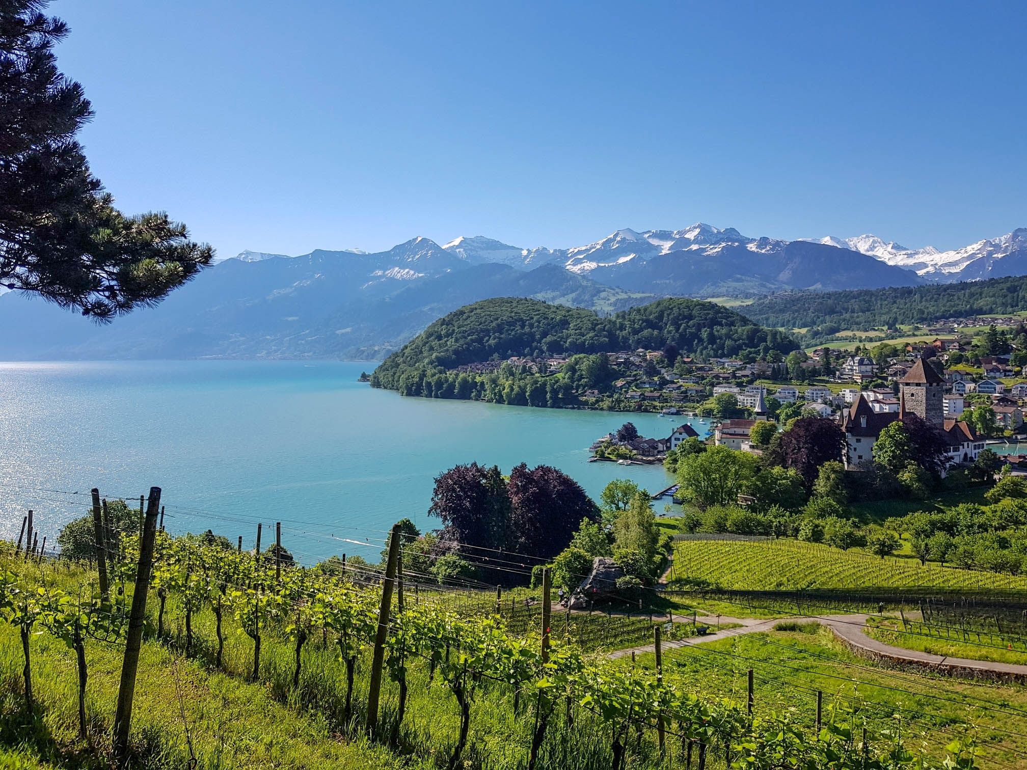
Panoramic circular trail around Switzerland's Lake Thun – Lake views at every turn

Mighty peaks and turquoise lakes – hiking in Interlaken in Switzerland
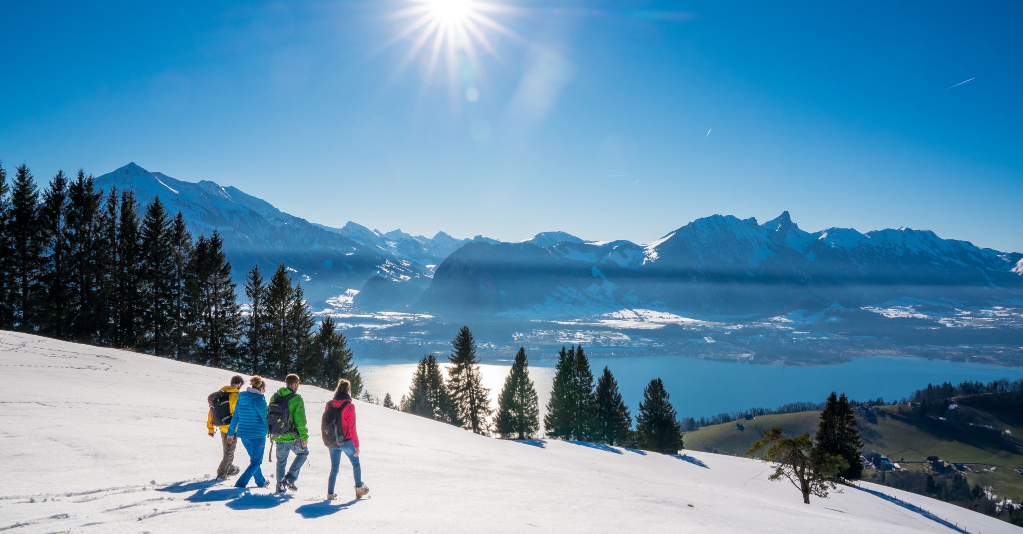
Let it snow! Winter hikes in the Bernese Oberland
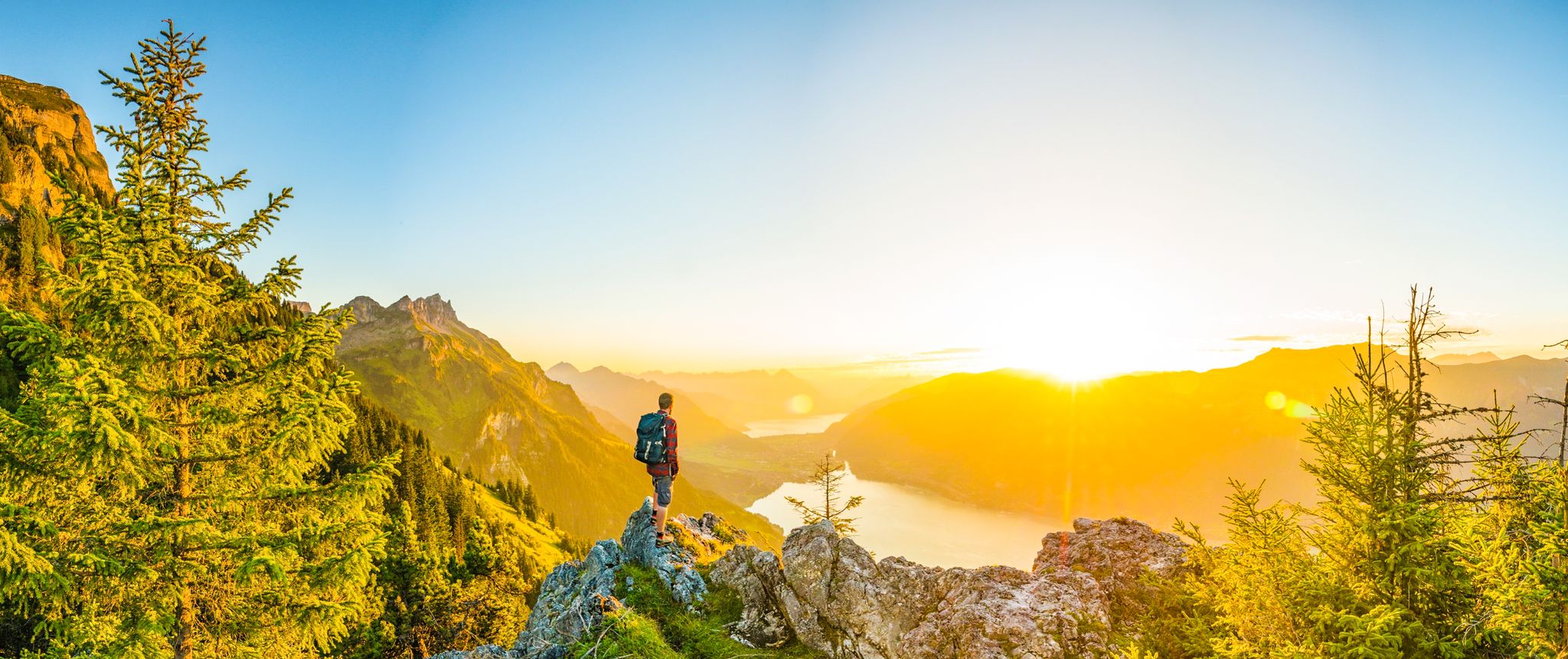
Magnificent Bernese Oberland – Hiking around Interlaken
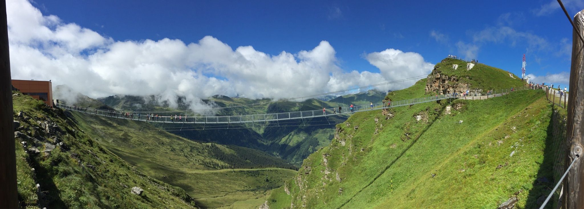
Spectacular suspension bridges
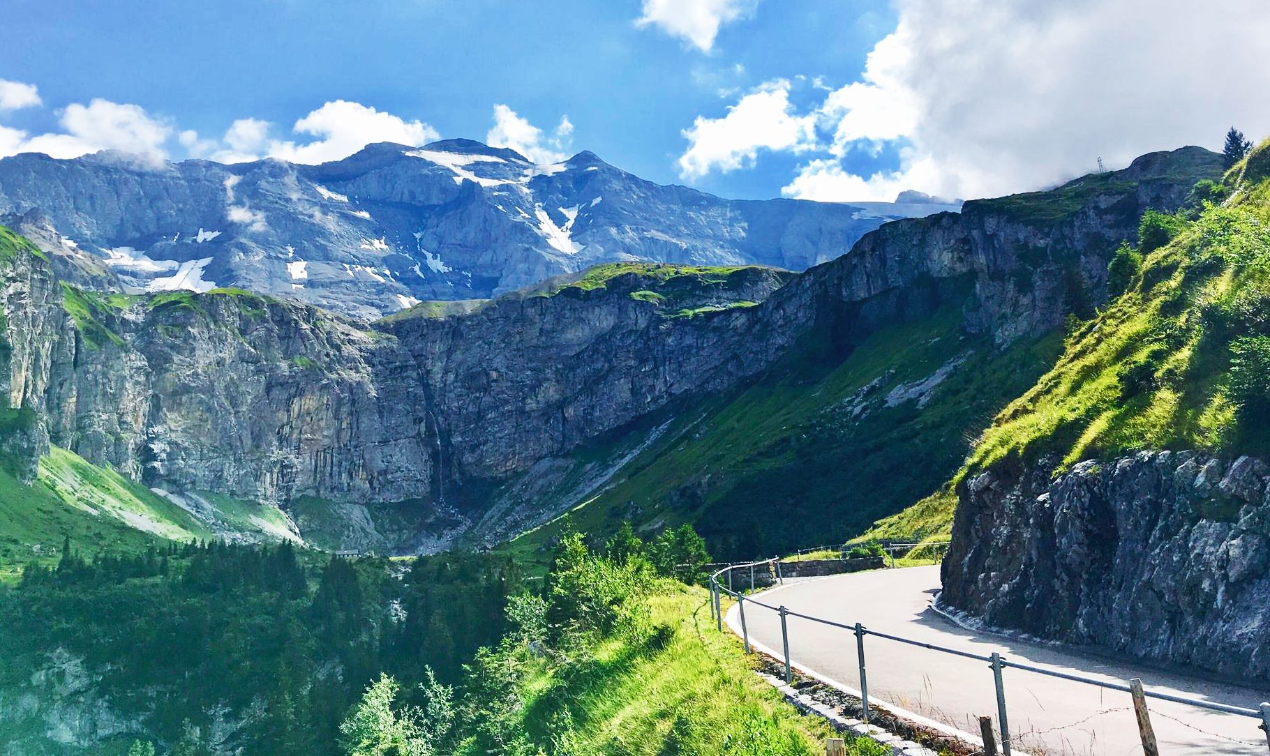
Alpine Panorama Route — 8 stages through the foothills of the Alps
Other adventures around Verwaltungskreis Thun


Tips from the Community

The hiking trail to the Sigriswiler Rothorn comes close to the tunnel entrance. However, the trail turns left 50 meters before that.
8
0
Beautiful and little-frequented summit with panoramic views
7
0

Difficult ascent including easy climbing but at the top everything is forgotten, the effort was worth it, the view is amazing.
0
1

The Sigriswiler Rothorn (2,051 m) is an impressive vantage point high above Lake Thun ⛰️🌊. The ascent is mostly along the ridge and requires surefootedness and a head for heights ⚠️🥾 – caution is advised, especially in wet conditions. At the top, you'll be rewarded with a fantastic 360° panorama: views of the Eiger, Mönch, and Jungfrau, the Mittelland, and Lake Brienz and Lake Thun 🏔️👀 – ideal for a summit rest and impressive photos 📸. Equipment: Sturdy hiking boots, weather protection 🧥, provisions 🥪, water 💧. No food or drink options along the way. Recommendation: Set off early ⏰, and avoid the ridge in uncertain weather. An absolutely worthwhile summit for experienced hikers!
1
0
The western entrance to the Schafloch is located slightly below the ridge and is easy to miss 👀 – pay attention to the trail markings! The entrance is via a short, steep path that can be slippery when wet ⚠️🥾. From here, the natural rock tunnel leads about 20m through the mountain – a fascinating experience 🪨⛰️. View: Right at the western portal, there is a magnificent view of Lake Thun and the Mittelland 🌄🌊 – be sure to pause for a moment and enjoy! Equipment: Sturdy hiking boots 🥾, possibly poles 🦯. A headlamp 🔦 is useful, as it is quite dark inside the tunnel. A cell phone 📱light will not suffice 😉. Safety: Not suitable in heavy rain or snow – the tunnel floor can become slippery. Recommended only for sure-footed hikers with a head for heights ⚠️. Special feature: The tunnel was formed by geological processes and is a rare natural phenomenon in Switzerland. It is one of the highlights of the Sigriswil ridge hike 🏞️.
1
0
A beautiful spot with stunning views of the Bernese Oberland! ⛰️🌲. The trail is well marked, but surefootedness is required, especially in wet conditions ⚠️. Recommendation: Start early ⏰ to enjoy the peaceful morning atmosphere! Equipment: Sturdy hiking boots 🥾, weatherproof clothing 🧥, and poles 🦯 if needed. Note: No refreshment stops – bring plenty of water 💧 and provisions 🥪.
2
0

Simple, all flat and very easy to walk on
0
0

they are usually in the field on the path towards the lake
0
0
Frequently Asked Questions
How many bus-accessible hiking trails are available in Verwaltungskreis Thun?
Verwaltungskreis Thun offers a vast network of bus-accessible hiking trails, with over 500 routes available. These range from easy strolls to challenging mountain ascents, ensuring there's a suitable option for every hiker.
Are there family-friendly hiking routes accessible by bus in Verwaltungskreis Thun?
Yes, many routes are suitable for families. For a moderate option with scenic views, consider the View of Lake Thun – Grabenmühle Sigriswil loop from Lake Thun. This route offers beautiful lakeside scenery and manageable terrain for a family outing.
Which bus-accessible trails offer the best panoramic views in the region?
For breathtaking panoramic views, the region is exceptional. The Blueme Observation Tower – View of Lake Thun loop from Sigriswil is a great choice, leading to the 16-meter-high Blueme Observation Tower with vistas stretching from the Jura to Lake Thun and the Bernese Alps. Another option is the Blueme Observation Tower – View of Lake Thun loop from Oberhofen, which also provides stunning perspectives.
Are there any challenging bus-accessible hikes for experienced trekkers?
Absolutely. For experienced hikers seeking a challenge, the Sigriswiler Rothorn Panorama Trail is an excellent choice. This difficult route covers nearly 12 km with significant elevation gain, offering demanding mountaineering routes and spectacular alpine scenery.
Can I find circular hiking routes that start and end at a bus station?
Many of the bus-accessible routes in Verwaltungskreis Thun are circular, allowing you to start and finish at the same point, often near a bus stop. The Lake Thun – Schadau Castle loop from Stadium Lachen is a moderate circular route that offers a pleasant walk along the lake and past historical sites.
What kind of natural attractions can I expect to see along these trails?
The region is rich in natural beauty. You can expect to see the expansive Lake Thun, dramatic Bernese Alps, and picturesque valleys like the Zulg. Some trails also lead to impressive gorges such as the Cholerenschlucht, known for its rushing waters and waterfalls. The Niederhorn Summit is also recognized for its wildlife, including Alpine Ibex and Chamois.
Are there historical landmarks or castles accessible from bus station hiking trails?
Yes, Verwaltungskreis Thun is dotted with historical landmarks. Many trails along Lake Thun pass by magnificent castles. For example, you can explore Thun Old Town and Castle, Schadau Castle, or Oberhofen Castle. These offer a blend of cultural exploration with natural beauty.
What do other hikers enjoy most about hiking in Verwaltungskreis Thun?
The area is highly rated by the komoot community, with an average score of 4.6 stars. Reviewers often praise the diverse landscapes, from serene lakeside paths to challenging alpine ascents, and the convenience of public transport access to a wide variety of trails. The stunning views of Lake Thun and the Bernese Alps are frequently highlighted.
Are there any trails that feature unique structures like suspension bridges?
Yes, the region boasts unique structures that enhance the hiking experience. The Sigriswil Suspension Bridge, spanning 340 meters across the Gummischlucht, offers impressive views of the Lake Thun region and the Bernese Alps and is integrated into several panoramic circular hiking trails.
What is the best season for bus-accessible hiking in Verwaltungskreis Thun?
Verwaltungskreis Thun offers hiking opportunities year-round, but the best season largely depends on the type of hike you're seeking. Spring and autumn provide pleasant temperatures and vibrant scenery for lower-altitude and lakeside trails. Summer is ideal for higher alpine routes, while some trails remain accessible for winter hikes, offering a different, often quieter, experience.
Are there options for easy, beginner-friendly hikes from bus stations?
Certainly. The region caters to all levels, including beginners. Many trails along Lake Thun and in the Zulg Valley offer gentle elevation changes and well-maintained paths, perfect for leisurely walks. These routes are typically well-connected to bus stops, making them easily accessible for those new to hiking.
Most popular routes around Verwaltungskreis Thun
Most popular attractions around Verwaltungskreis Thun

Get inspired with the komoot mobile app


Didn’t find what you were looking for?
Check out more Hikes throughout Verwaltungskreis Thun below and find the perfect route in your destination.
