The best hikes from bus stations around Landeck
4.6
(24386)
127,481
hikers
1,020
hikes
Bus station hiking trails around Landeck offer access to a diverse alpine landscape in Tyrol, Austria. The region is characterized by towering peaks of the Ötztal, Lechtal, and Verwall Alps, alongside the scenic Inn Valley with its river and gorges. Hikers can explore varied terrain, from alpine meadows and rugged mountain peaks to serene glacial lakes like the Silvretta Reservoir. This area provides a range of trails, from gentle paths along valleys to challenging high-altitude routes.
Best bus station hiking trails around Landeck
- The most popular bus station hiking route is Glacier view loop at the Silvretta Reservoir, a 9.3 miles (14.9 km) trail that takes 5 hours 8 minutes to complete. This difficult route offers panoramic views of the surrounding glaciers and the reservoir.
- Another top favourite among local hikers is Albona Lakes Circuit – St. Anton am Arlberg, a difficult 9.3 miles (15.0 km) path. This trail features multiple alpine lakes and significant elevation changes, providing a challenging mountain experience.
- Local hikers also love the Hike to the Berglisee, a 7.8 miles (12.6 km) trail leading through alpine terrain to a picturesque mountain lake, often completed in about 4 hours 47 minutes.
- Hiking around Landeck is defined by majestic mountain ranges, the Inn Valley, and glacial lakes. The network offers options for various ability levels, from moderate paths to difficult ascents.
- The routes in Landeck are highly rated by the komoot community with an average score of 4.6 stars from over 23,000 reviews. More than 125,000 hikers have used komoot to explore Landeck's varied terrain.
Last updated: July 7, 2026
4.9
(239)
998
hikers
14.9km
05:07
550m
550m
Hard hike. Very good fitness required. Mostly accessible paths. Sure-footedness required.
4.8
(172)
691
hikers
15.0km
06:01
680m
680m
Hard hike. Very good fitness required. Mostly accessible paths. Sure-footedness required.

Sign up for free
4.9
(161)
670
hikers
12.6km
04:51
700m
700m
Hard hike. Good fitness required. Sure-footedness, sturdy shoes and alpine experience required.
4.8
(170)
636
hikers
8.80km
03:14
440m
440m
Moderate hike. Good fitness required. Mostly accessible paths. Sure-footedness required.
4.7
(170)
615
hikers
9.45km
03:39
510m
510m
Moderate hike. Good fitness required. Mostly accessible paths. Sure-footedness required.
Get access to more routes and recommendations from other explorers.
Sign up for free
Already have an account?
Our route recommendations are based on thousands of hikes, rides, and runs completed by other people on komoot.
Start today with a free account
Your next adventure awaits.
Login or Signup
Popular around Landeck

Hikes from bus stations in the Tiroler Oberland

Hikes from bus stations around the Kaunertal
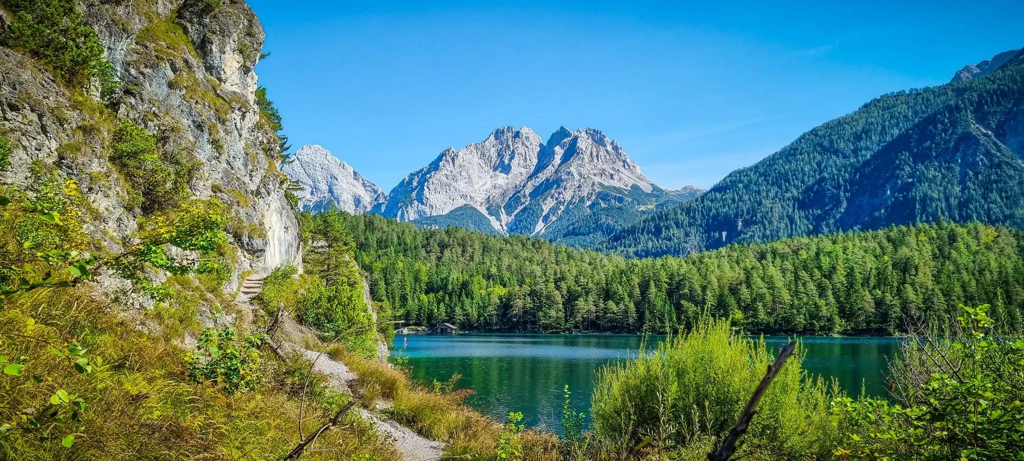
Starkenberg Panorama Trail – Lakes, gorges and noble paths
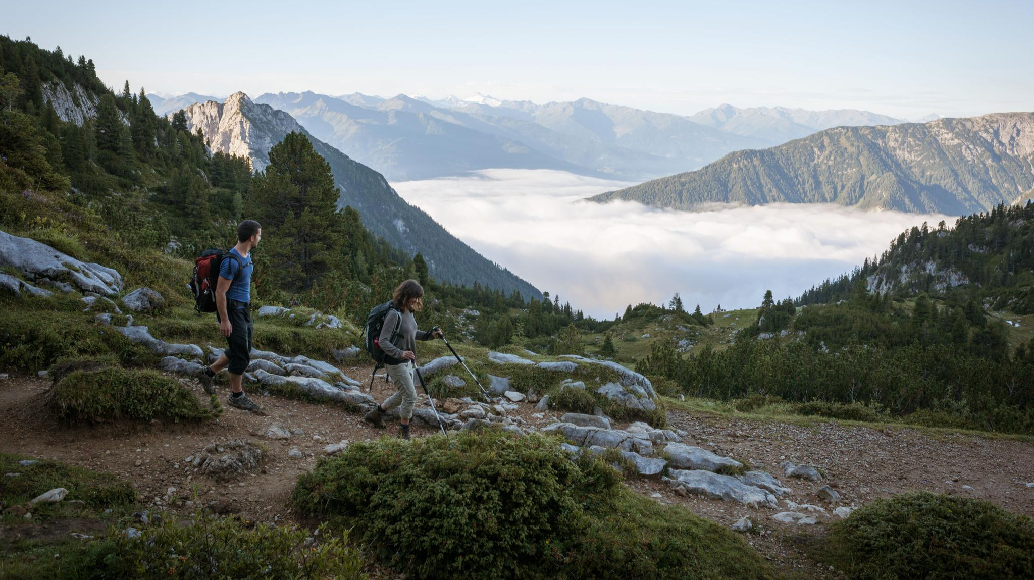
Eagle Walk – Majestic hiking along Tirol's trail

North Alpine Trail 01 – Hike across Austria in 49 days
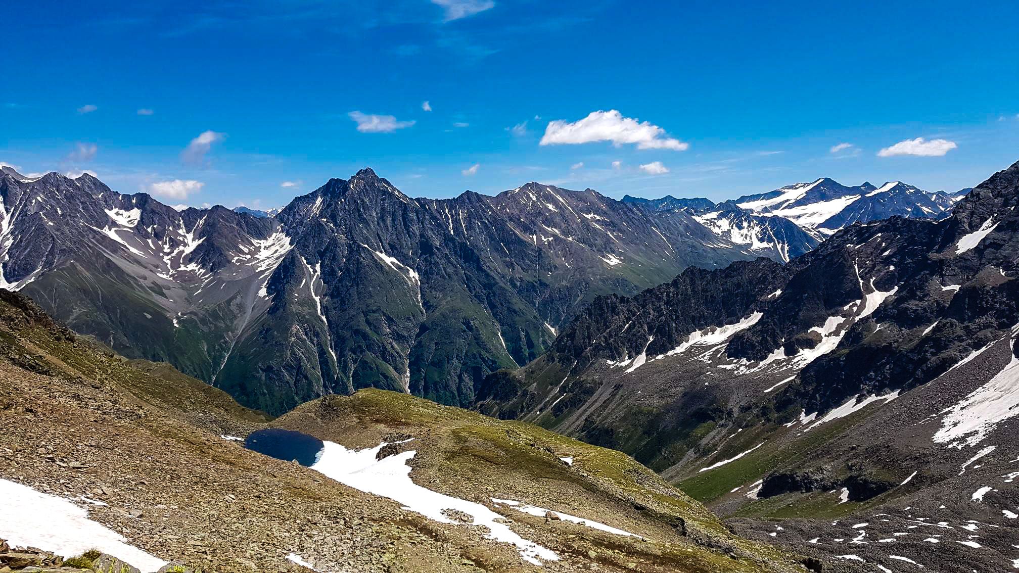
Kaunergrat circular hike in Austria – a dream for experienced mountaineers

Min Weag long-distance hiking trail – From Lake Constance to the Alps

E5 – Hiking across the Alps
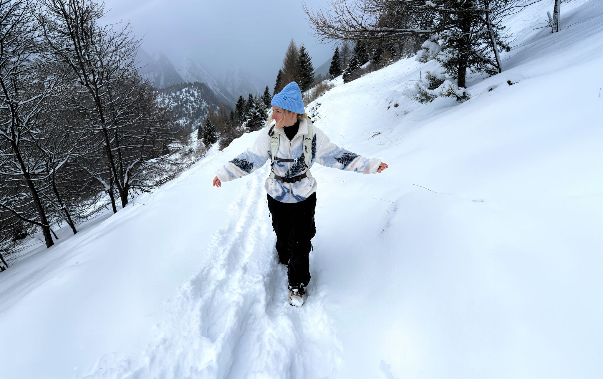
Scenic Winter Hikes around Austria
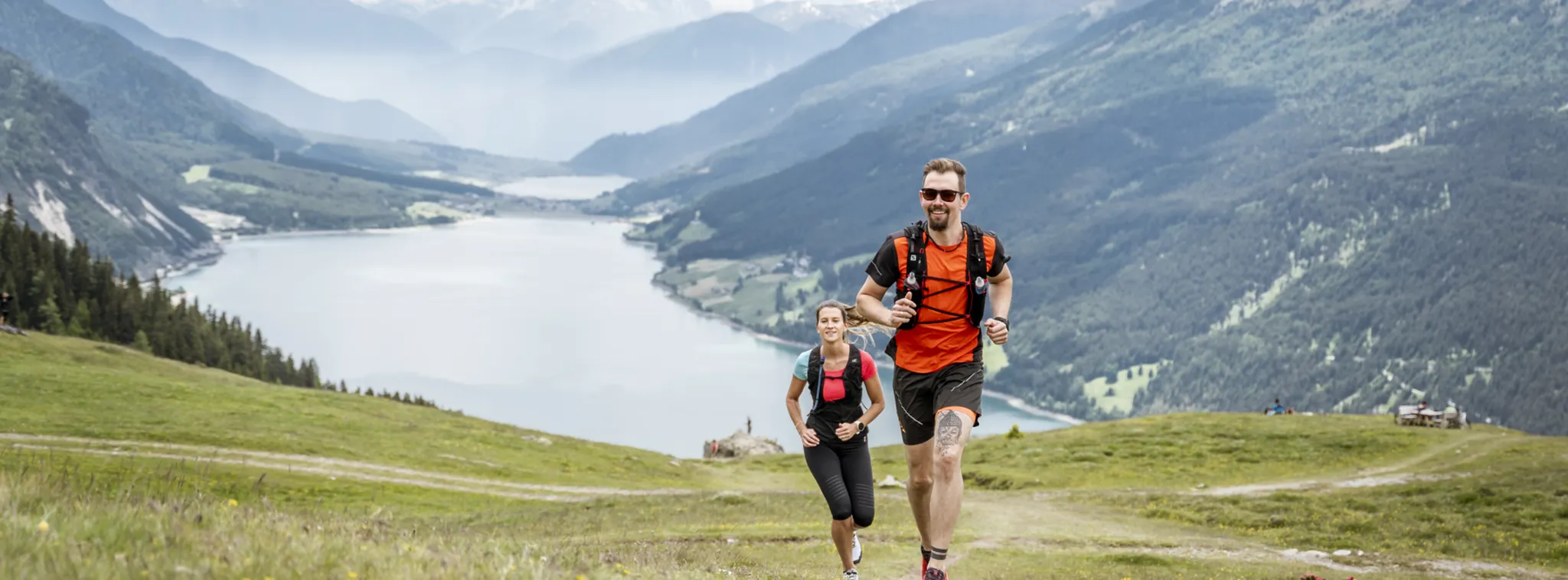
Trail running in Nauders – discover the alpine running paradise
Other adventures around Landeck


Tips from the Community

There are several places to stop for refreshments here. This beautiful village is located in the Trisanna Valley.
0
0
Very beautiful alpine pasture with fantastic views of the mountains.
0
0

An excellently maintained and secured trail with breathtaking views, plus a historical connection.
1
0


An old fortress in an impressive location, it can also be visited on certain days of the week. The challenging Kaiserschützenweg trail also starts here.
6
1
A strenuous and impressive hiking trail, but only suitable for experienced hikers without a fear of heights.
7
0
A beautiful hiking trail along the well-protected rocky edge, offering repeated, stunning views of the Inn Valley.
7
0
Positions and caverns built around 1914, primarily by Italian prisoners of war. The positions served as border control and as a support base in the event of an Italian breakthrough.
6
0
Frequently Asked Questions
How many hiking trails accessible by bus are there around Landeck?
There are over 1000 hiking routes in the Landeck region that are accessible by bus, offering a wide variety of options for all skill levels. This includes approximately 340 easy, 460 moderate, and 220 difficult trails.
Are there easy hiking trails accessible directly from bus stations in Landeck?
Yes, Landeck offers many manageable trails suitable for families and beginners that are easily reached by bus. These often feature rest areas and picnic spots, allowing for leisurely walks through forests and meadows. Look for routes described as 'easy' in the guide.
Can I find challenging hikes that are reachable by public bus in Landeck?
Absolutely. For experienced hikers, there are demanding trails with steep ascents and breathtaking vantage points accessible via public transport. An example is the Albona Lakes Circuit – St. Anton am Arlberg, which offers significant elevation gain and stunning alpine scenery.
Are there any circular hiking routes that start and end at a bus station?
Yes, many routes in the Landeck region are designed as circular walks, making them convenient for public transport users. For instance, the Kaiserschützenweg loop – Selles variant and the Kaiserschützenweg Fortress loop are excellent moderate circular options that can be accessed via bus connections.
What is the best time of year to go hiking from bus stations in Landeck?
The best time for hiking in Landeck is generally spring, summer, and autumn. Spring offers blooming wildflowers, summer provides fully accessible trails, and autumn showcases stunning fall colors. While traditional hiking is limited in winter, the region also provides opportunities for snowshoeing and winter trekking in lower elevations.
Are the bus-accessible hiking trails in Landeck suitable for families with children?
Yes, Landeck has numerous family-friendly trails that are easily reached by bus. These routes are often less strenuous, pass through scenic forests and meadows, and sometimes include adventure trails or picnic spots, making them ideal for younger hikers.
Can I bring my dog on these bus-accessible hiking trails in Landeck?
Many hiking trails in Landeck are dog-friendly, but it's always recommended to keep your dog on a leash, especially in nature protection areas or near livestock. Public transport rules for dogs may vary, so check with the local bus operator beforehand.
What natural features or landmarks can I expect to see on bus-accessible hikes in Landeck?
The Landeck region boasts diverse natural beauty. You can expect to see majestic mountain ranges like the Ötztal Alps, Lechtal Alps, and Verwall Mountains, as well as the Inn Valley. Picturesque glacial lakes such as Schwarzsee and Vilsalpsee are popular, and the Glacier view loop at the Silvretta Reservoir offers stunning vistas.
Are there any specific highlights or points of interest along these bus-accessible routes?
Yes, the region offers various points of interest. You might encounter fascinating gorges like Zammer Lochputz, or discover unique geological formations. For those interested in alpine history, the Kaiserschützenweg routes offer insights into historical paths. You can also find several huts like the Memminger Hut or Ascher Hut, and even explore caves such as the Gallruth Tunnel Entrance.
Are there huts or places to stop for refreshments on bus-accessible trails?
Yes, many trails in Landeck, including those accessible by bus, feature mountain huts or guesthouses where you can stop for refreshments or a meal. These provide a welcome break and often offer traditional Tyrolean cuisine. Check individual route descriptions for specific amenities along the way.
What do other hikers say about the bus-accessible trails in Landeck?
The Landeck region is highly rated by the komoot community, with an average score of 4.6 stars. Reviewers often praise the diverse landscapes, from serene valleys to majestic mountain peaks, and the well-maintained network of trails that cater to all abilities.
Can I find a hike from a bus station that explores alpine lakes?
Certainly. The Landeck district is home to picturesque glacial lakes that are popular with hikers. The Albona Lakes Circuit – St. Anton am Arlberg is a challenging route that takes you past stunning alpine lakes, and the Hike to the Berglisee is another excellent option for lake views, both accessible via bus connections.
Most popular routes around Landeck
Most popular attractions around Landeck

Get inspired with the komoot mobile app


Didn’t find what you were looking for?
Check out more Hikes throughout Landeck below and find the perfect route in your destination.
Explore more
Browse the best Hikes in other regions.
