The best hikes from bus stations around Waldmünchen
4.7
(3223)
9,997
hikers
78
hikes
Bus station hiking trails around Waldmünchen offer access to the diverse landscapes of the Upper Palatinate region in Bavaria, Germany. The area is characterized by rolling hills and dense forests, forming part of the "Green Roof of Europe." Hikers can explore scenic lakeside paths around Perlsee, follow the border river Chamb, or ascend prominent elevations like the Gibacht massif for expansive views. An extensive network of trails caters to various fitness levels, providing opportunities to experience the region's natural features.
…Last updated: October 13, 2026
4.8
(185)
608
hikers
4.63km
01:15
60m
60m
Easy hike. Great for any fitness level. Easily-accessible paths. Suitable for all skill levels.
4.8
(53)
177
hikers
12.2km
03:54
490m
490m
Hard hike. Good fitness required. Sure-footedness, sturdy shoes and alpine experience required.

4.8
(82)
268
hikers
5.52km
01:38
160m
160m
Moderate hike. Great for any fitness level. Mostly accessible paths. Sure-footedness required.
4.6
(46)
114
hikers
9.17km
02:35
200m
200m
Moderate hike. Good fitness required. Easily-accessible paths. Suitable for all skill levels.
5.0
(23)
106
hikers
Easy hike. Great for any fitness level. Easily-accessible paths. Suitable for all skill levels.
Get access to more routes and recommendations from other explorers.
Already have an account?
Our route recommendations are based on thousands of hikes, rides, and runs completed by other people on komoot.
Start today with a free account
Your next adventure awaits.
Popular around Waldmünchen
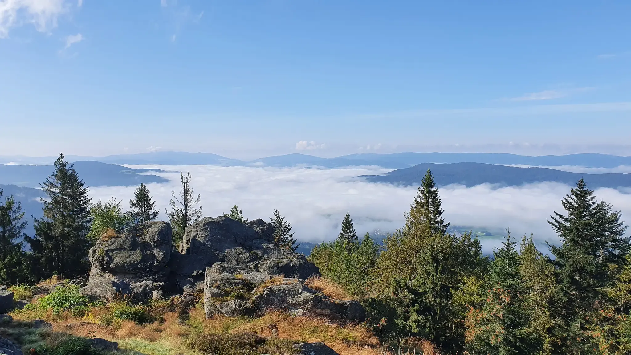
The Goldsteig – 38 stages between Upper Palatinate and Passau
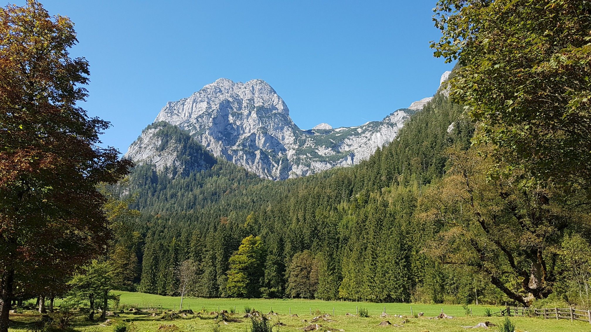
The National Natural Landscapes in Bavaria
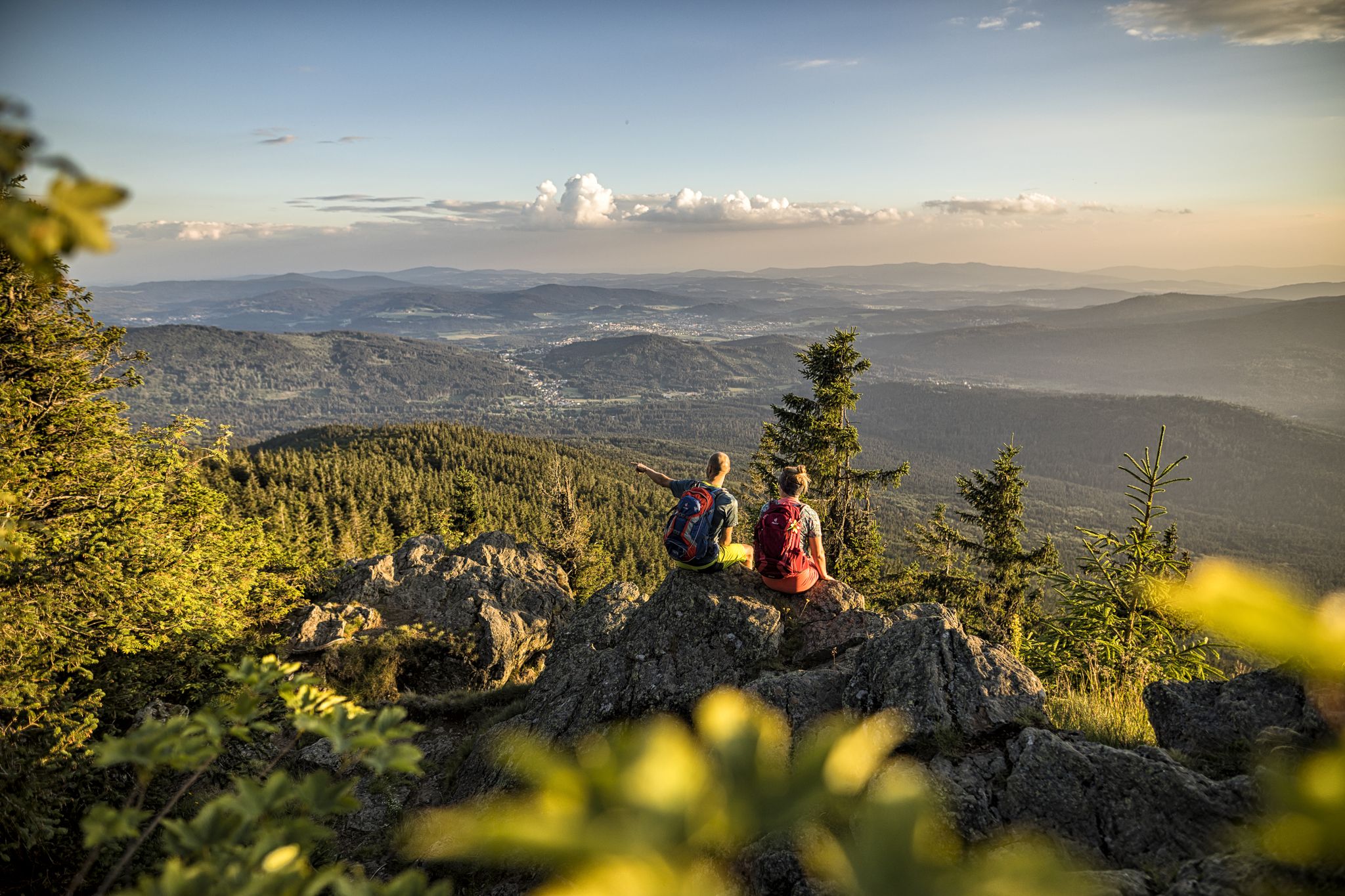
Hiking tips for the Bavarian Forest
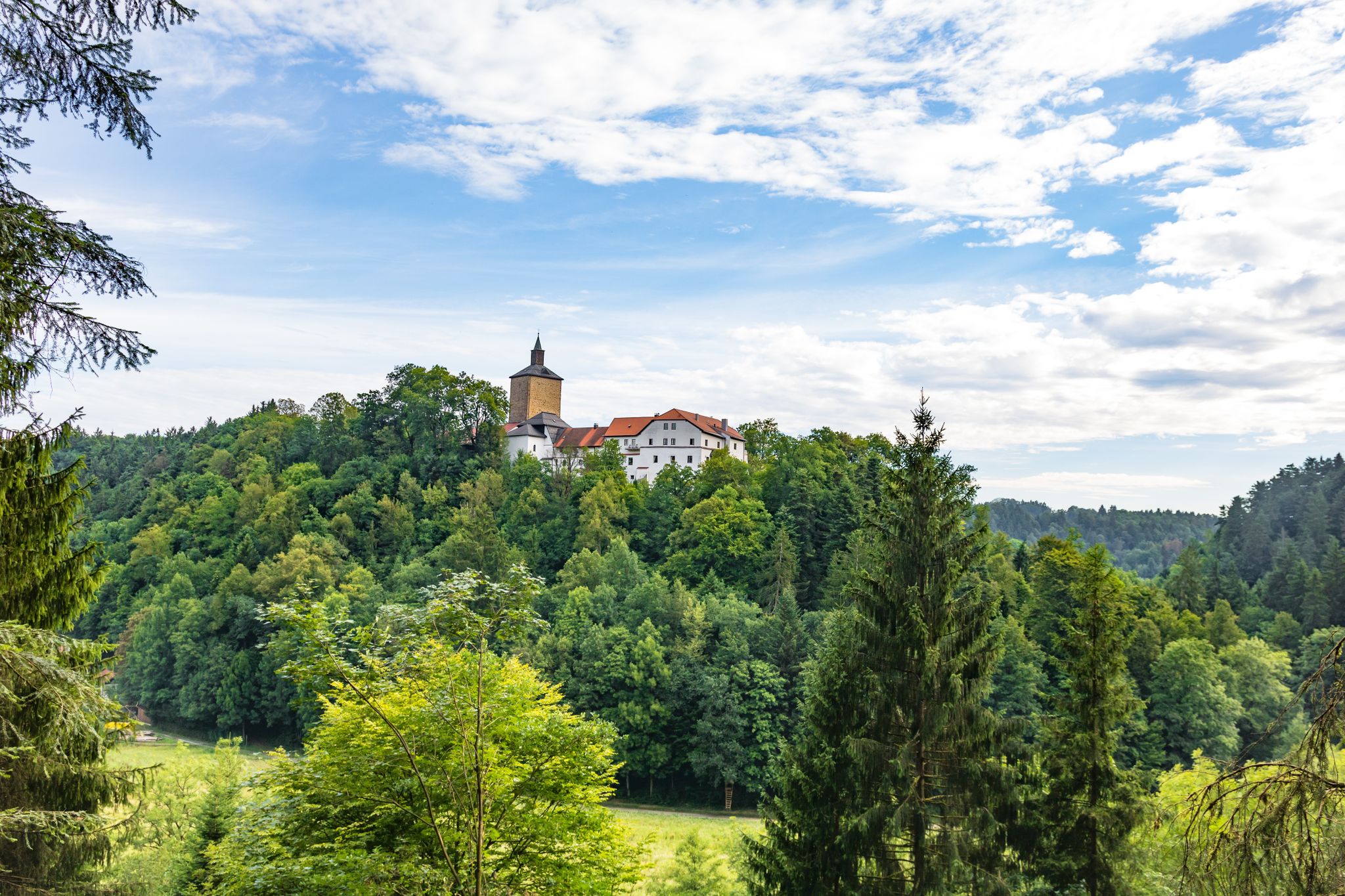
Hiking through history on Germany’s Pandurensteig
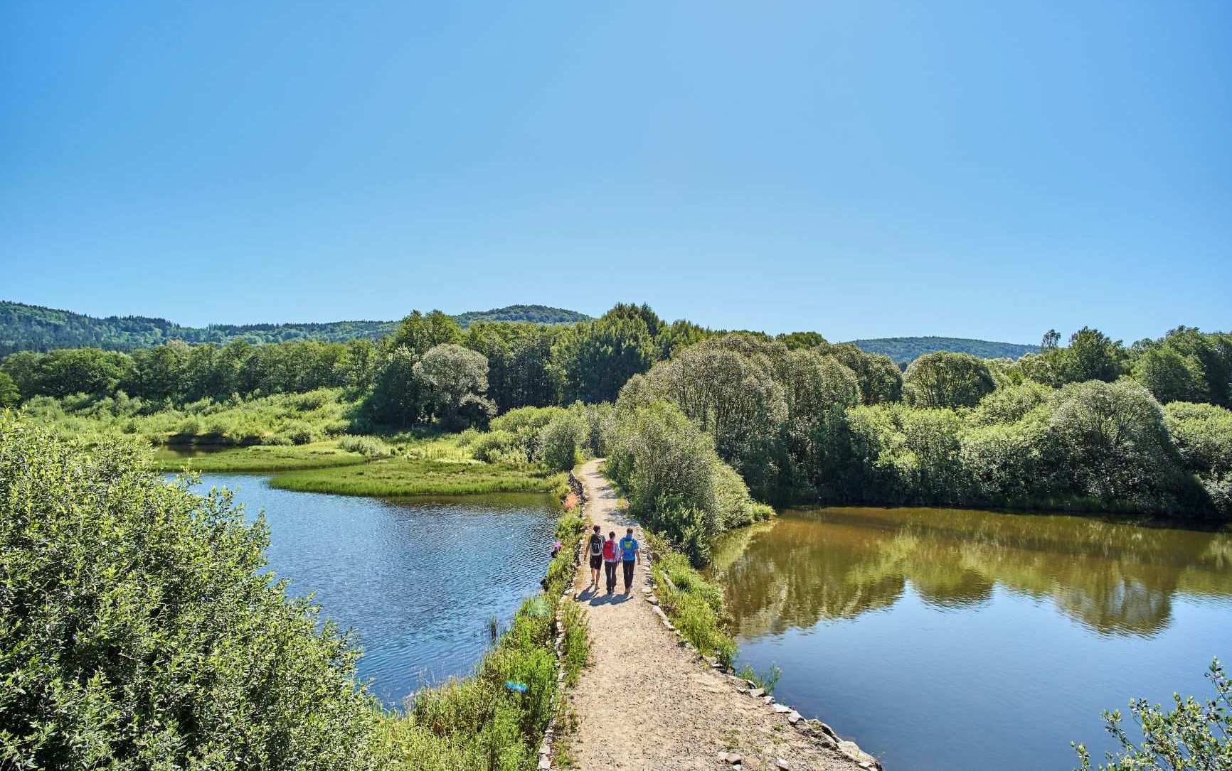
The best of the Goldsteig in Eastern Bavaria – 6 scenic hikes
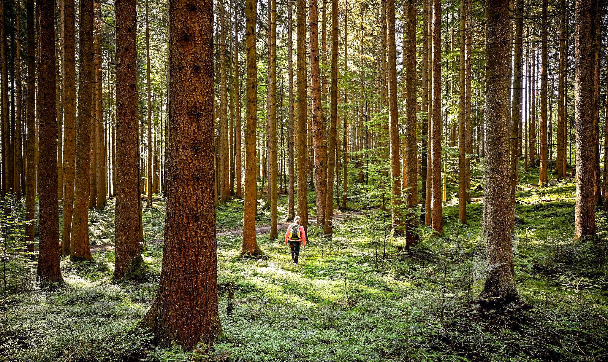
Active relaxation in the forests of Bavaria
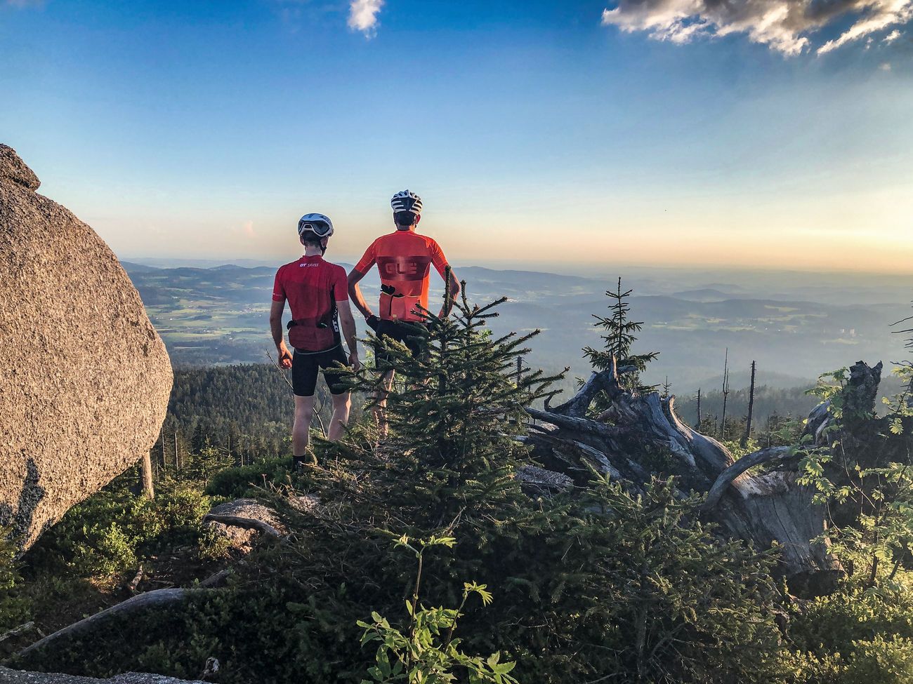
Peak tour through Germany: the highest pass and mountain roads
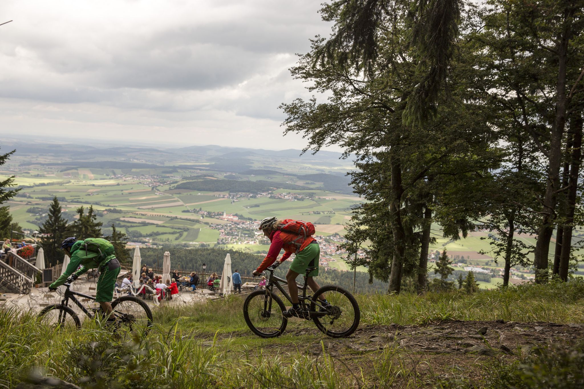
MTB Erlebnis im Naturpark Oberer Bayerischer Wald
Other adventures around Waldmünchen


Tips from the Community

The Perlsee offers something for everyone, whether you are a nature lover, a holidaymaker, a playground junkie, or an athlete – everyone will find their spot here. The reservoir was completed in 1962 and has since served as flood protection and for energy generation using a hydropower plant. Through numerous attractions such as a mini-golf course, campsite, high ropes course, playgrounds, and a fitness trail (Vital Parcours), it is currently a popular leisure and recreational area. I can only recommend the lake! However, you are not only allowed to go for walks here – swimming and pedal boating are also possible. The Perlsee is also suitable for families with children – the circular path is accessible with a stroller or buggy 🏞️🌿🛝
0
0
Anyone who circles the Perlsee also passes the Schwarzach Bridge. This spot is almost one of the most beautiful on the lake, as the nature here is truly indescribably beautiful. Ducks and water birds frolic in the water, and countless grasses and plants have found their habitat here 🦆🏞️🌳
0
0

always beautiful at the Glaskreuz, regardless of the season
0
0

Resting place, located a little below the summit.
0
0
Here you get a very beautiful view, a short photo stop is worthwhile.
0
0

Perlsee beautiful in every season. On foot, by bike, something for everyone.
1
0

The also disappeared village of Seeg (Czech: Pila), which belonged to Grafenried, was located three kilometers west of Wassersuppen (Nemanice) on the road from Mauthaus to Grafenried. The first mentions of Seeg date back to 1613. The village was built on a stream that was used to operate a mill, a sawmill, and a glassworks. In 1749, there were three mills and a sawmill in the village. In addition, there was also a carpenter and a glass cutter. In 1839, the village consisted of 26 houses with 232 inhabitants.
12
1
Frequently Asked Questions
How many bus-accessible hiking trails are there in Waldmünchen?
Waldmünchen offers a wide selection of hiking trails directly accessible from bus stations. You'll find over 70 routes, ranging from easy strolls to more challenging mountain hikes, all starting conveniently close to public transport stops.
What kind of terrain can I expect on bus-accessible hikes in Waldmünchen?
The trails around Waldmünchen, nestled in the 'Dreiwäldereck' of the Bavarian, Bohemian, and Upper Palatinate Forests, feature diverse terrain. You can expect rolling hills, dense woodlands, and paths along the scenic River Chamb. Some routes, especially towards the Gibacht massif or Hoher Bogen, will include more demanding ascents and offer panoramic views.
Are there easy, family-friendly hikes accessible by bus in Waldmünchen?
Yes, Waldmünchen is great for families. The Perlsee Sculpture, Waldmünchen – Perlsee loop from Waldmünchen is an easy, circular path around the idyllic Perlsee Lake, perfect for a relaxed outing with children. This trail is also certified as a "Terrainkurweg" for health-conscious visitors.
What are some moderate hiking options from a bus station in Waldmünchen?
For a moderate challenge, consider the Charcoal Kiln Site Waldmünchen – Lehmgrubenweg Border Crossing loop from Waldmünchen. This route offers a longer distance and more elevation gain, taking you through varied landscapes and historical sites. Another good option is the Gibacht Mountain Inn – Three Coats of Arms loop from Althütte, which provides rewarding views with a manageable ascent.
Are there any challenging trails accessible by bus for experienced hikers?
Absolutely. For experienced hikers seeking a challenge, the Kreuzfelsen Summit (Gibacht) – Three Coats of Arms loop from Gibacht is an excellent choice. This difficult route includes significant elevation changes and leads to the Kreuzfelsen Summit, offering breathtaking panoramic views from its glass summit cross.
What natural features or landmarks can I see along these bus-accessible routes?
Many trails offer access to stunning natural features and landmarks. You can explore the serene Perlsee, discover the unique Sculpture at the Perlsee, or reach the Kreuzfelsen Summit (Gibacht) for expansive views. The region also features the Three Coats of Arms monument and the historic Teufelsbrücke (Devil's Bridge).
Are there any historical sites or points of interest on the trails?
Yes, Waldmünchen's trails often weave through areas rich in history. The Former Grafenried Cemetery – Ruins of the Old School loop from Lísková u Nemanic takes you to historical sites near the border. The Antoniussteig, another local trail, passes by ruins of old farmsteads and the picturesque Teufelsbrücke with its waterwheel, offering a glimpse into the region's past.
What do other hikers say about the trails around Waldmünchen?
The hiking trails around Waldmünchen are highly regarded by the komoot community, boasting an average rating of 4.75 out of 5 stars from nearly 2,800 reviews. Hikers frequently praise the well-maintained paths, the tranquil forest atmosphere, and the stunning panoramic views from various summits and viewpoints.
Are there circular routes available from bus stations?
Yes, many of the trails accessible from bus stations in Waldmünchen are circular routes, making them convenient for day trips. For example, the Perlsee Sculpture, Waldmünchen – Perlsee loop from Waldmünchen and the Charcoal Kiln Site Waldmünchen – Lehmgrubenweg Border Crossing loop from Waldmünchen are both excellent circular options.
When is the best time of year to hike in Waldmünchen from a bus station?
Waldmünchen offers beautiful hiking experiences year-round. Spring and summer bring blooming flora and lush greenery, while autumn transforms the forests into a vibrant display of colors. Even in winter, the region's 'wild romantic nature' provides a tranquil escape, though some trails might require appropriate gear for snow or ice.
Can I find trails that offer views of the surrounding region?
Absolutely. The region is known for its impressive viewpoints. Trails leading to the Gibacht mountain massif, such as the Kreuzfelsen Summit (Gibacht), provide breathtaking panoramic vistas. The Hoher Bogen also offers striking views, and the Schwarzenburg Castle Ruins feature a renovated keep with a viewing platform for unique panoramas.
Are there any trails that follow the German-Czech border?
Yes, Waldmünchen's location near the German-Czech border means several trails explore this unique area. The Nurtschweg, a long-distance trail, follows the Czech border through the Upper Palatinate Forest, and shorter local routes like the Charcoal Kiln Site Waldmünchen – Lehmgrubenweg Border Crossing loop from Waldmünchen also bring you close to the border region, offering insights into its history and landscape.
Most popular routes around Waldmünchen
Most popular attractions around Waldmünchen

Get inspired with the komoot mobile app


Explore more
Browse the best Hikes in other regions.
