The best hikes from bus stations around Tauberbischofsheim
4.5
(4267)
14,409
hikers
70
hikes
Bus station hiking trails around Tauberbischofsheim are set within the Franconian region of Germany, defined by the Tauber River and its tributaries. The landscape features rolling hills, river valleys, and shell limestone soils. Hikers will find extensive forest areas, open fields, and vineyards, offering varied terrain for exploration.
Best bus station hiking trails around Tauberbischofsheim
- The most popular bus station hiking route is Hiking Loop LT 10 "Distelhäuser Beer Trail", a 5.2 miles (8.4 km) moderate trail that takes 2 hours 23 minutes to complete. This route features varied terrain and gentle slopes.
- Another top favourite among local hikers is Meditation hiking trail LT-M5 churches and small monuments, a moderate 8.2 miles (13.2 km) path. This circular route includes cultural points of interest and offers views of the Tauber Valley.
- Local hikers also love the Juniper heath – MD Hiking Trail loop from Tauberbischofsheim, a 4.0 miles (6.4 km) trail leading through juniper heathland, often completed in about 1 hour 45 minutes.
- Hiking around Tauberbischofsheim is defined by river valleys, rolling hills, and extensive forests, with options available for various ability levels.
- The routes in Tauberbischofsheim are highly rated by the komoot community with an average score of 4.6 stars from over 3,800 reviews. More than 13,900 hikers have used komoot to explore Tauberbischofsheim's varied terrain.
Last updated: July 10, 2026
4.4
(58)
223
hikers
8.39km
02:23
190m
190m
Moderate hike. Good fitness required. Easily-accessible paths. Suitable for all skill levels.
4.4
(7)
28
hikers
13.2km
03:40
250m
240m
Moderate hike. Good fitness required. Easily-accessible paths. Suitable for all skill levels.

Sign up for free
4.4
(9)
40
hikers
10.7km
02:57
180m
180m
Moderate hike. Good fitness required. Easily-accessible paths. Suitable for all skill levels.
4.8
(4)
21
hikers
6.41km
01:45
100m
100m
Easy hike. Great for any fitness level. Easily-accessible paths. Suitable for all skill levels.
4.5
(28)
24
hikers
Easy hike. Great for any fitness level. Easily-accessible paths. Suitable for all skill levels.
Get access to more routes and recommendations from other explorers.
Sign up for free
Already have an account?
Our route recommendations are based on thousands of hikes, rides, and runs completed by other people on komoot.
Start today with a free account
Your next adventure awaits.
Login or Signup
Popular around Tauberbischofsheim
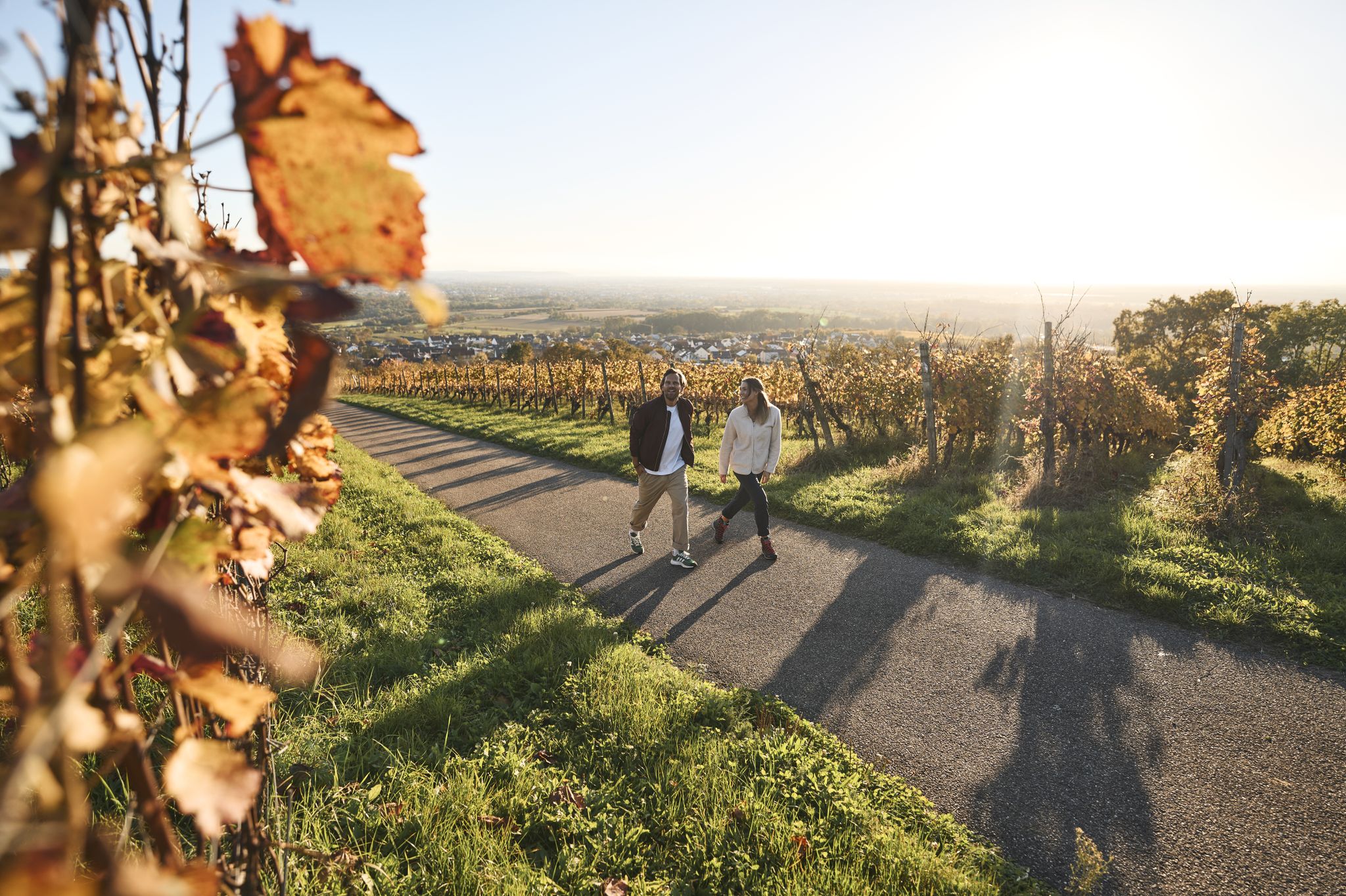
Fine drops and local cuisine – gourmet hiking in the Süden ganz oben
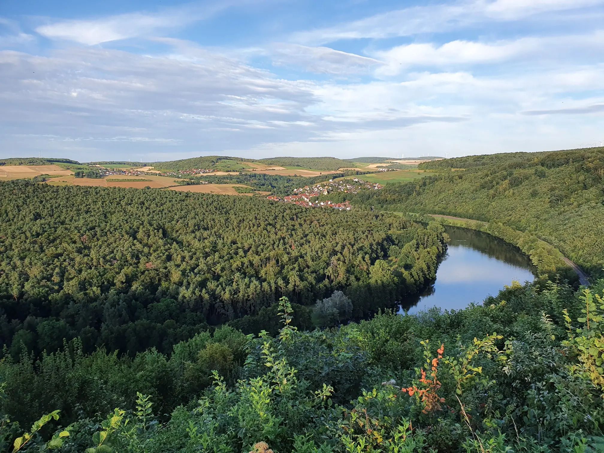
Jakobswanderweg Odenwald-Main-Taubertal
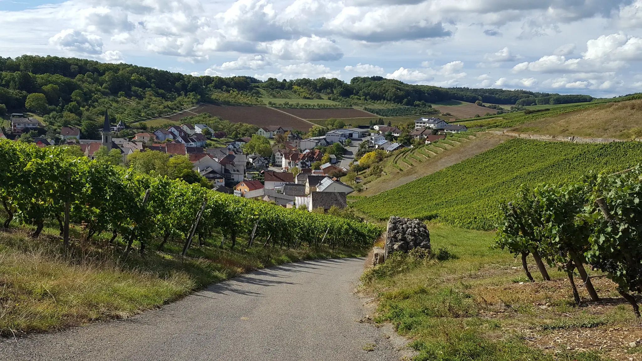
On the panoramic trail through the Tauber Valley

Cycling and local cuisine – pleasure rides in the Süden ganz oben
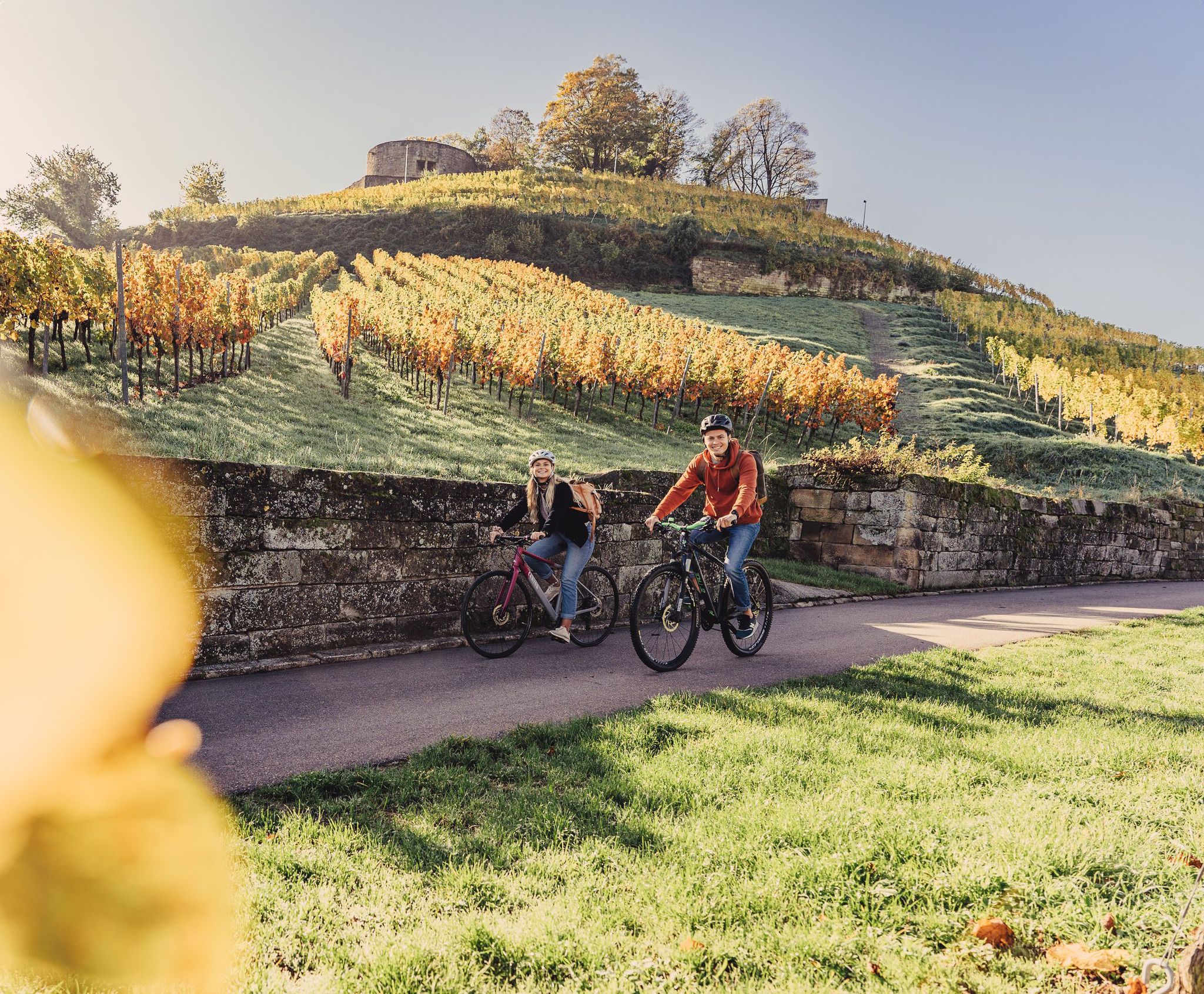
Cycling for pleasure in the north of Baden-Württemberg
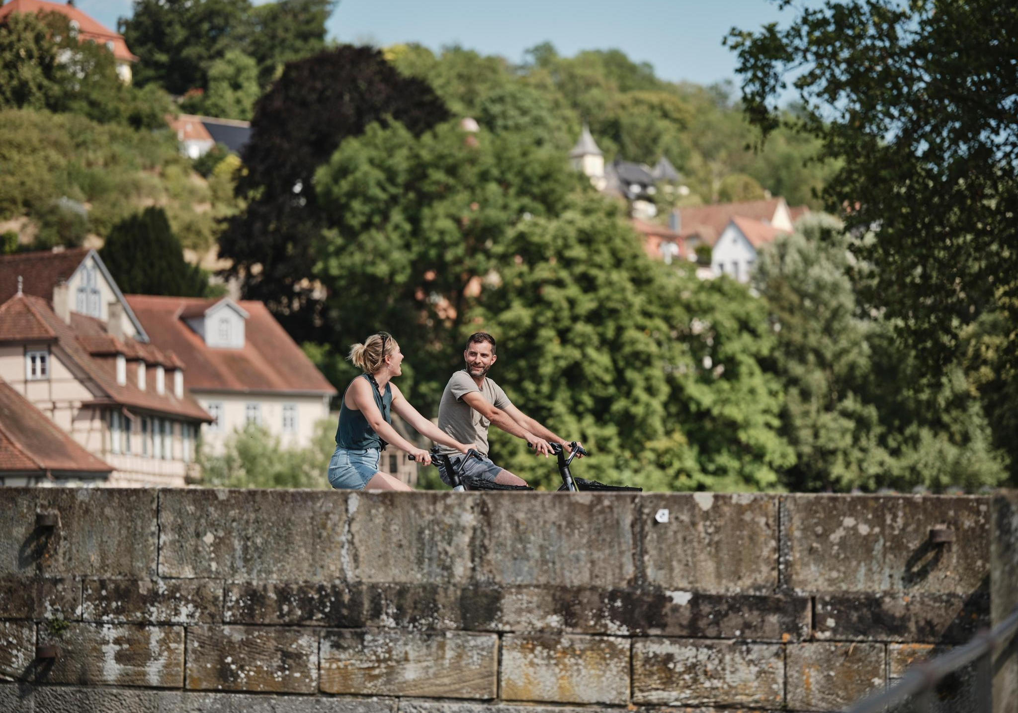
Culinary delights, culture, landscape – long-distance cycling in Baden-Württemberg
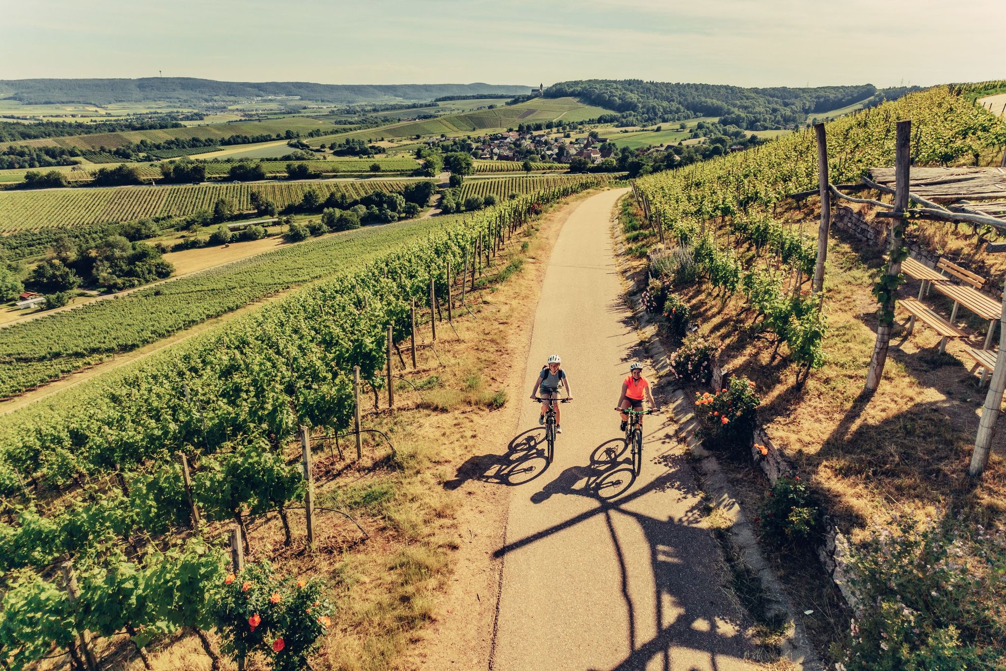
E-bike day Tours along the Tauber, Kocher, Jagst and Neckar rivers
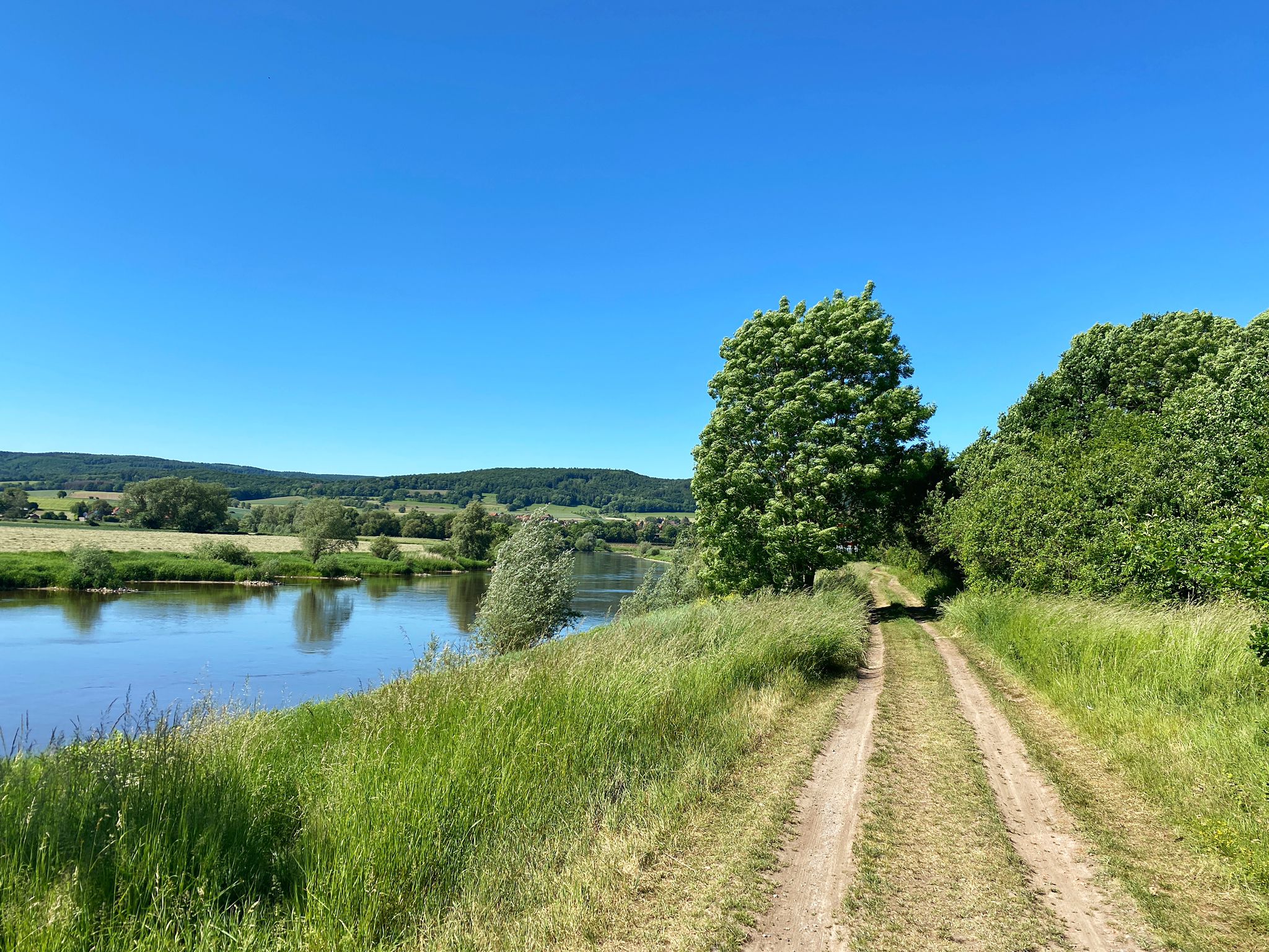
D:Route 9: Weser - Romantic Route
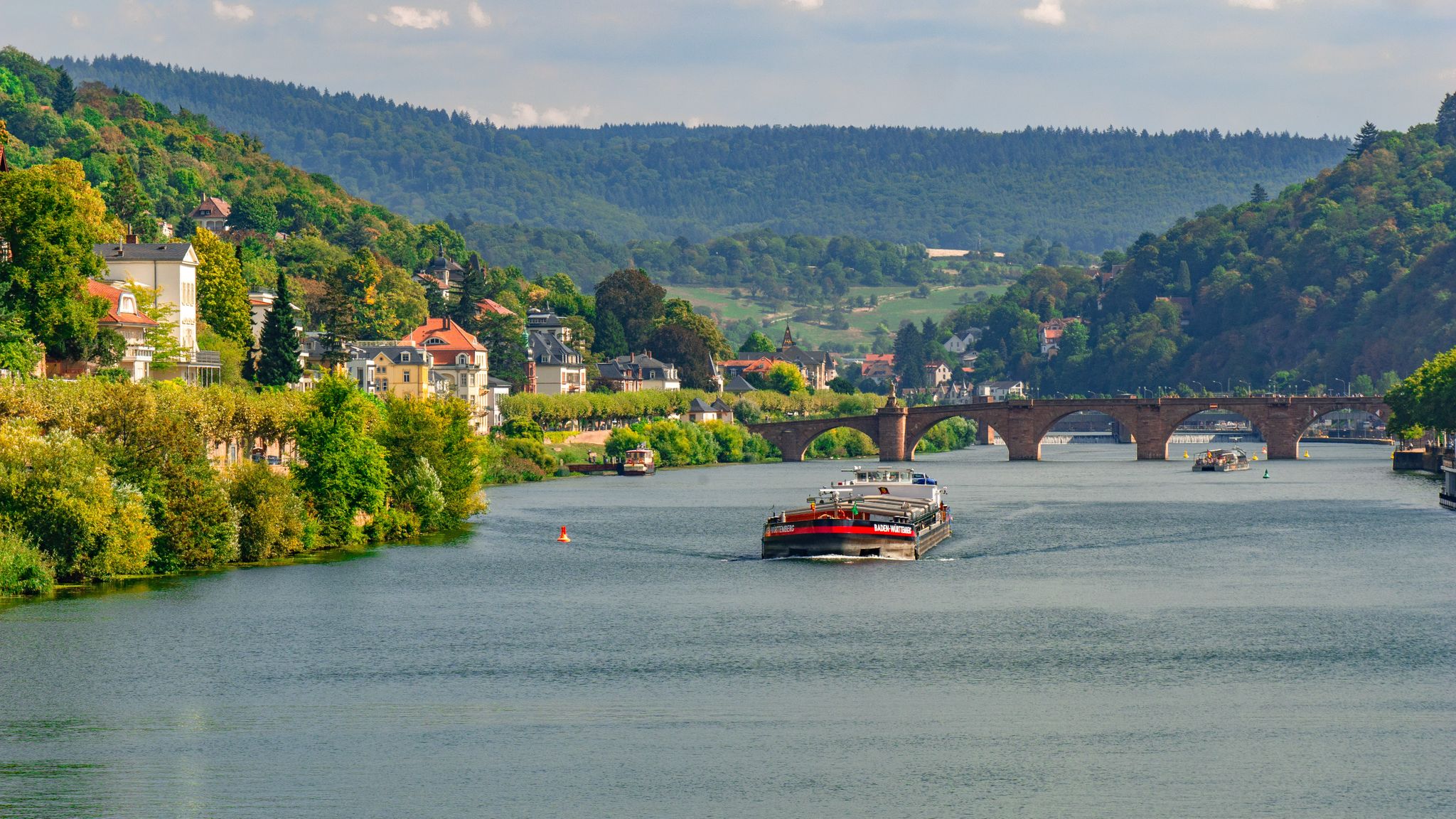
Odenwald-Madonnen-Radweg – 4 days along chapels and nature
Cycling the Tauber Valley in Germany – Incredible paths & scenery
Other adventures around Tauberbischofsheim


Tips from the Community

The fenced area cannot be bitten by wild animals, nearby there is the star-of-Bethlehem and the elecampane.
0
0
The oak and linden trees are already quite large, but a distance of 3 to 5 m is far too narrow for such majestic trees. While 3/4 of the area is not planted. Is it just about profit? Is expertise lacking? How do you feel as a couple when the tree dies because it has no space? In any case, the 2 benches are nice.
0
0

The current Tauberbrücke was built in 1813 with originally four arches. Several construction phases are assumed, as the bridge has uneven crown heights and arch curvatures.
6
0

I don't know if Distelhausen is supposed to be the highlight, or the bridge? In any case, the bridge is worth seeing and the brewery in Distelhausen has a nice and good beer garden.
2
0

Cellarius Kellerbier - only available at the brewery tavern
1
0

This is a historic bridge whose origins date back to 1813. It has been renovated according to its historical model.
5
0

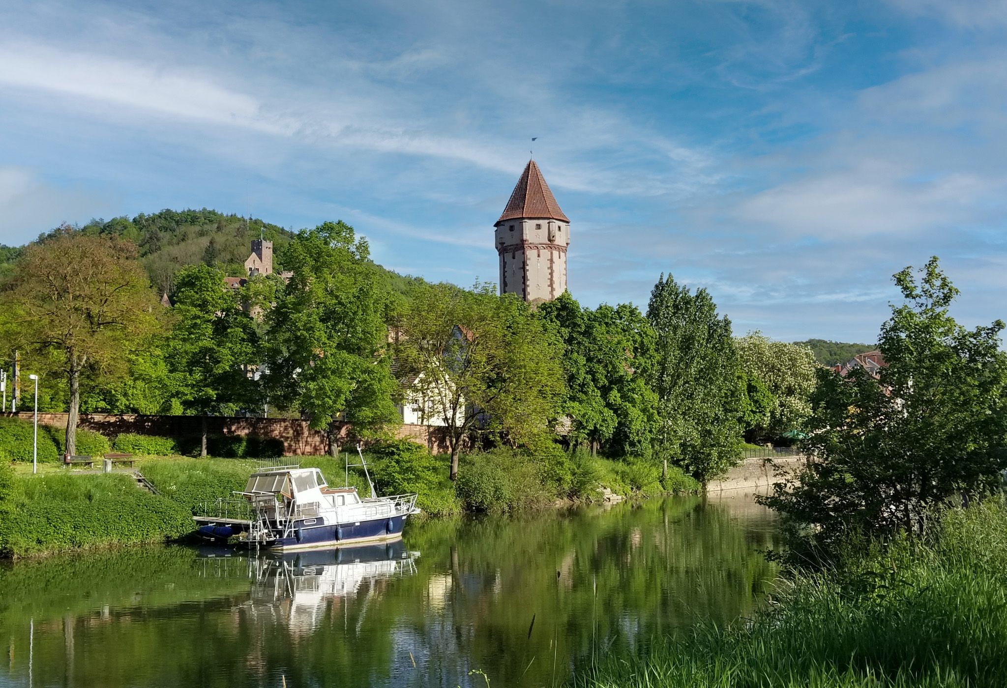
The Türmersturm (Turm Tower) is the city's most famous landmark and part of the former Electorate of Mainz Palace. It was built as a defensive tower in the 13th century and later expanded in the 15th century. With a height of approximately 35 meters and 119 steps up to the tower chamber, it once served the city guard to monitor the Tauber Valley and the surrounding area.
8
0
Tauberbischofsheim Castle, also known as the Electorate of Mainz Castle, dates back to the 13th century. Today, it houses the Tauber Franconian Landscape Museum and, with its striking tower, is a landmark of the town.
8
0
Frequently Asked Questions
How many bus-accessible hiking trails are available around Tauberbischofsheim?
There are over 60 hiking trails around Tauberbischofsheim that are easily accessible by bus, offering a wide range of options for all skill levels. These routes allow you to explore the scenic Tauber Valley without needing a car.
Are there easy hiking trails accessible directly from the Tauberbischofsheim bus station?
Yes, several easy hiking trails start conveniently close to bus stations in and around Tauberbischofsheim. For a gentle stroll, consider the Riemenschneider Fountain – Tauberbischofsheim Castle loop, which is just under 5 km and explores the town's historic center. Another easy option is the Juniper heath – MD Hiking Trail loop, offering pleasant views over 6.4 km.
What kind of landscapes can I expect on bus-accessible hikes in the Tauberbischofsheim region?
The bus-accessible hikes in Tauberbischofsheim showcase the diverse landscapes of the Lovely Tauber Valley. You'll encounter rolling hills, idyllic river valleys shaped by the Tauber River, extensive forests, open fields, and picturesque vineyards. The region is known for its shell limestone soils and the natural beauty of areas like the Brachenleite nature reserve.
Are there any circular hiking routes that start from bus stations?
Yes, many of the trails accessible by bus are circular routes, perfect for a day trip. The Hiking Loop LT 10 "Distelhäuser Beer Trail" is a moderate 8.4 km circular route offering varied terrain and beautiful views. Another option is the Dittigheim Cemetery Chapel – Tauber Bridge, Distelhausen loop, an easy 4.4 km circular walk.
What can I see along the bus station hiking trails in terms of attractions or points of interest?
Many bus-accessible trails pass by interesting attractions. You can explore historical sites like the Keltenschanze Brehmen or enjoy natural springs such as the Lachenquelle. Some routes also lead to viewpoints like the Summit Cross on Kachelberg, offering panoramic vistas of the Tauber Valley.
Are there any themed hiking trails accessible by bus?
Yes, the region offers themed trails that combine hiking with cultural exploration. The Meditation hiking trail LT-M5 churches and small monuments is a moderate 13 km route that guides you past various religious and historical sites, providing a unique blend of physical activity and spiritual reflection.
What do other hikers enjoy most about hiking in Tauberbischofsheim?
The komoot community highly rates the hiking experience in Tauberbischofsheim, with an average score of 4.56 stars. Reviewers often praise the well-maintained paths, the picturesque views of the Tauber Valley, and the variety of trails suitable for different fitness levels. The accessibility by public transport is also frequently highlighted as a major convenience.
Can I find places to rest or have a picnic along the bus-accessible routes?
Yes, the region is well-equipped with rest areas. You can find huts and facilities like the Waldfreunde Großrinderfeld Rest Hut or the Silberbrünnle Spring and Rest Area along various trails. These spots are perfect for a break or a picnic amidst nature.
Are the bus-accessible hiking trails suitable for families with children?
Many of the easier and shorter bus-accessible routes are suitable for families. Trails with less elevation gain and shorter distances, such as the Riemenschneider Fountain – Tauberbischofsheim Castle loop, are great for walks with children. The diverse landscapes and points of interest along the way can also keep younger hikers engaged.
What is the best season to go hiking from bus stations in Tauberbischofsheim?
The Tauberbischofsheim region is beautiful year-round, but spring and autumn are particularly recommended for hiking. In spring, the landscape bursts with blooming plants, especially around areas like Gamburg Castle. Autumn offers stunning foliage colors across the forests and vineyards. Summer is also pleasant, especially for shaded forest trails, while winter can provide serene, crisp walks, though some services might be limited.
Are there any viewpoints accessible on hikes from bus stations?
Absolutely. The rolling hills of the Tauber Valley naturally offer many scenic viewpoints. The Summit Cross on Kachelberg is one such highlight, providing expansive views. Many trails also traverse vineyards and open fields, giving hikers magnificent panoramic vistas of the surrounding landscape and the Tauber River.
Most popular routes around Tauberbischofsheim
Most popular attractions around Tauberbischofsheim

Get inspired with the komoot mobile app


Explore more
Browse the best Hikes in other regions.
