The best hikes from bus stations around Olching
4.5
(5810)
40,658
hikers
69
hikes
Bus station hiking trails around Olching are primarily characterized by the Amper River and its associated nature reserves, offering a network of accessible paths. The landscape features extensive floodplains, riverside meadows, and wooded areas, providing a tranquil setting for outdoor activities. The region also includes the Olchinger Lake, around which several hiking routes are established. This diverse terrain makes Olching a suitable destination for various hiking experiences.
Best bus station hiking trails around Olching
- The most popular bus station hiking…
Last updated: June 26, 2026
4.3
(62)
242
hikers
8.03km
02:02
20m
20m
Moderate hike. Good fitness required. Easily-accessible paths. Suitable for all skill levels.
4.7
(105)
337
hikers
Moderate hike. Good fitness required. Easily-accessible paths. Suitable for all skill levels.

Sign up for free
4.5
(31)
118
hikers
Easy hike. Great for any fitness level. Easily-accessible paths. Suitable for all skill levels.
4.6
(97)
287
hikers
Moderate hike. Good fitness required. Easily-accessible paths. Suitable for all skill levels.
4.7
(17)
67
hikers
Easy hike. Great for any fitness level. Easily-accessible paths. Suitable for all skill levels.
Get access to more routes and recommendations from other explorers.
Sign up for free
Already have an account?
Our route recommendations are based on thousands of hikes, rides, and runs completed by other people on komoot.
Start today with a free account
Your next adventure awaits.
Login or Signup


Tips from the Community

The golf course has a surprising extent and looks very well-maintained. Unfortunately, the bike path is in poor condition.
0
0

Beautiful view of the Amper river
0
0

The foundation is now gone, and if all goes well, the bridge will be back in spring/summer.
0
0

Was the first maypole I saw in Bavaria 😁
1
0

More information: https://www.kolping-olching.de/23-engagement/brauchtum/maibaum/81-maibaum-startseite
0
0

Very nice path right on the Amper. Unfortunately, there is currently a plague of mosquitoes
2
0

Beautiful place in great surroundings
5
0
A really beautiful spot
6
0
Frequently Asked Questions
How many bus station hiking trails are available around Olching?
There are over 75 hiking routes accessible from bus stations around Olching, offering a wide variety of options for all skill levels. Most of these, around 55, are considered easy, with another 19 being moderate.
Are there any easy, short hikes accessible by bus in Olching?
Yes, Olching offers several easy and relatively short hikes perfect for a quick outing. A great option is the Olchinger Lake – Olchinger Lake loop from Brunnenbuberl, which is just under 4 km long and considered easy. Another easy route is the Amperkanal Riverside Path – View of the Mühlbach loop from Olching, spanning about 7.7 km.
What kind of natural features can I expect to see on bus-accessible hikes in Olching?
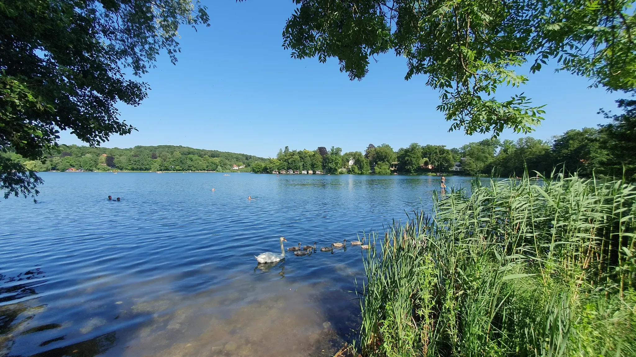
The bus-accessible hikes in Olching frequently feature the picturesque Amper River and its surrounding floodplains, including the Amperauen Nature Reserve and the Ampertal Nature Reserve. You'll find tranquil riverside paths, meadows, and the beautiful Olchinger Lake. These areas provide a serene natural setting for your walks.
Are there any circular hiking routes from bus stops in Olching?
Yes, many of the bus-accessible routes in Olching are circular, allowing you to start and end at the same bus stop. For example, the Esting Castle – Ampertal Nature Reserve loop from Olching is an 8 km moderate circular hike. Another option is the Amper River near Geiselbullach – View of the Mühlbach loop from Olching, a moderate 11.5 km loop.
Can I find family-friendly hiking trails accessible by bus in Olching?
Absolutely. Many of Olching's bus-accessible trails are suitable for families. The easy routes, particularly those around the Olchinger Lake, are generally flat and well-maintained, making them ideal for all ages. The natural beauty of the Amperauen Nature Reserve also offers engaging scenery for children.
Are dogs allowed on the bus station hiking trails in Olching?
Generally, dogs are welcome on most hiking trails in the Olching region, especially on paths through natural areas like the Amperauen and Ampertal Nature Reserves. However, it's always advisable to keep them on a leash, particularly in nature protection areas and near wildlife, and to check local regulations for specific routes or reserves.
What are some notable landmarks or attractions near the bus-accessible hiking trails?
While hiking from bus stations, you might encounter various points of interest. The Blutenburg Castle is a historical landmark that can be reached, and the Amper River itself is a significant natural feature. You can also find highlights like the Lake Waldschwaig and the Lußsee in the wider area, which are often part of or close to hiking routes.
What is the best time of year to go hiking from bus stations in Olching?
Spring, summer, and early autumn are generally the best times for hiking in Olching. The weather is pleasant, and the natural landscapes along the Amper River and around Olchinger Lake are at their most vibrant. The Amperauen Nature Reserve offers beautiful passages during these seasons. Winter hiking is also possible, but some paths might be muddy or icy, so appropriate gear is recommended.
Are there any moderate difficulty hikes from bus stations for more experienced hikers?
Yes, for those seeking a bit more challenge, there are several moderate routes. The Esting Castle – Ampertal Nature Reserve loop from Olching is a moderate 8 km hike. Another good option is the Amper River and Amper Canal – Amper River near Geiselbullach loop from Geiselbullach, which is a moderate 12 km route.
What do other hikers say about the bus-accessible trails in Olching?
The hiking trails around Olching are highly regarded by the komoot community, with an average rating of 4.5 out of 5 stars from over 5,500 ratings. Hikers often praise the peaceful riverside paths, the natural beauty of the Amperauen, and the accessibility of the routes from public transport.
Can I find routes that follow the Amper River from a bus station?
Many routes in Olching leverage the scenic Amper River. The Amper River near Geiselbullach – View of the Mühlbach loop from Olching and the Amperkanal Riverside Path – View of the Mühlbach loop from Olching are excellent examples of trails that closely follow the river and its canals, offering beautiful waterside views and easy access from local bus stops.
Most popular routes around Olching
Most popular attractions around Olching

Get inspired with the komoot mobile app


Explore more
Browse the best Hikes in other regions.
