The best hikes from bus stations around Papenburg
4.4
(486)
2,341
hikers
114
hikes
Bus station hiking trails around Papenburg offer access to a diverse landscape shaped by the Ems River and its surrounding moorlands. The region is characterized by flat terrain, with minimal elevation changes, making it suitable for accessible walks. Hikers can explore riverside paths, tranquil lake loops, and routes through urban green spaces. The network of trails provides opportunities to experience both natural features and the town's historic canals.
Best bus station hiking trails around Papenburg
- The most popular bus station…
Last updated: August 20, 2026
4.3
(24)
142
hikers
Easy hike. Great for any fitness level. Easily-accessible paths. Suitable for all skill levels.
4.6
(22)
125
hikers
Easy hike. Great for any fitness level. Easily-accessible paths. Suitable for all skill levels.

Sign up for free
5.0
(1)
50
hikers
Easy hike. Great for any fitness level. Easily-accessible paths. Suitable for all skill levels.
4.5
(13)
77
hikers
Easy hike. Great for any fitness level. Easily-accessible paths. Suitable for all skill levels.
4.8
(24)
49
hikers
Easy hike. Great for any fitness level. Easily-accessible paths. Suitable for all skill levels.
Get access to more routes and recommendations from other explorers.
Sign up for free
Already have an account?
Our route recommendations are based on thousands of hikes, rides, and runs completed by other people on komoot.
Start today with a free account
Your next adventure awaits.
Login or Signup
Popular around Papenburg
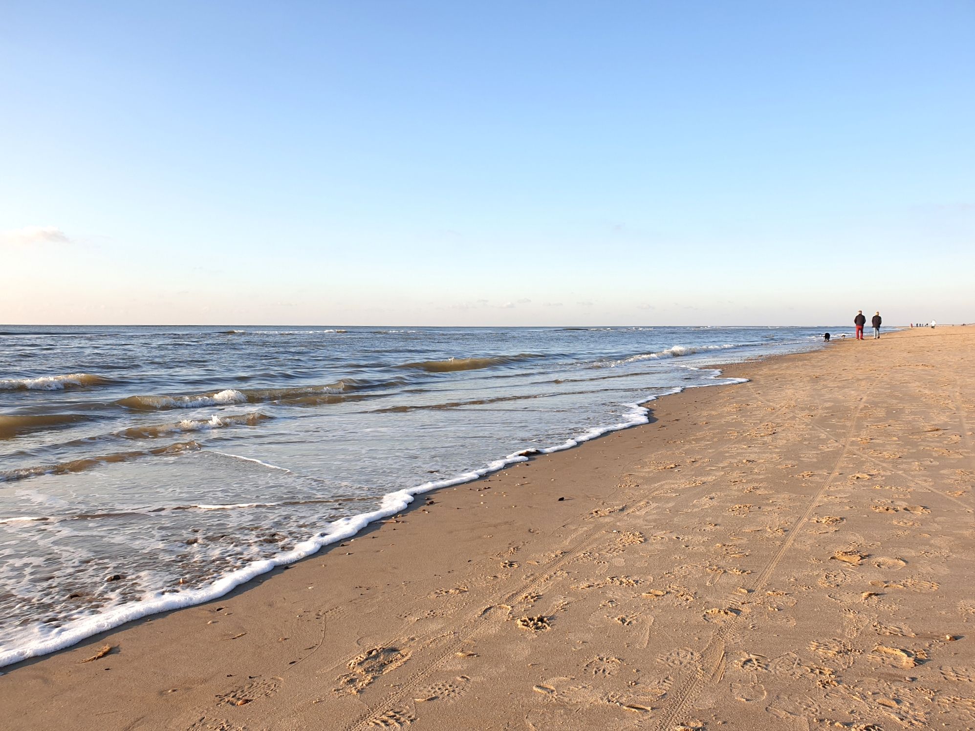
Groot Frieslandpad (LAW 14) – Right through the North of the Netherlands
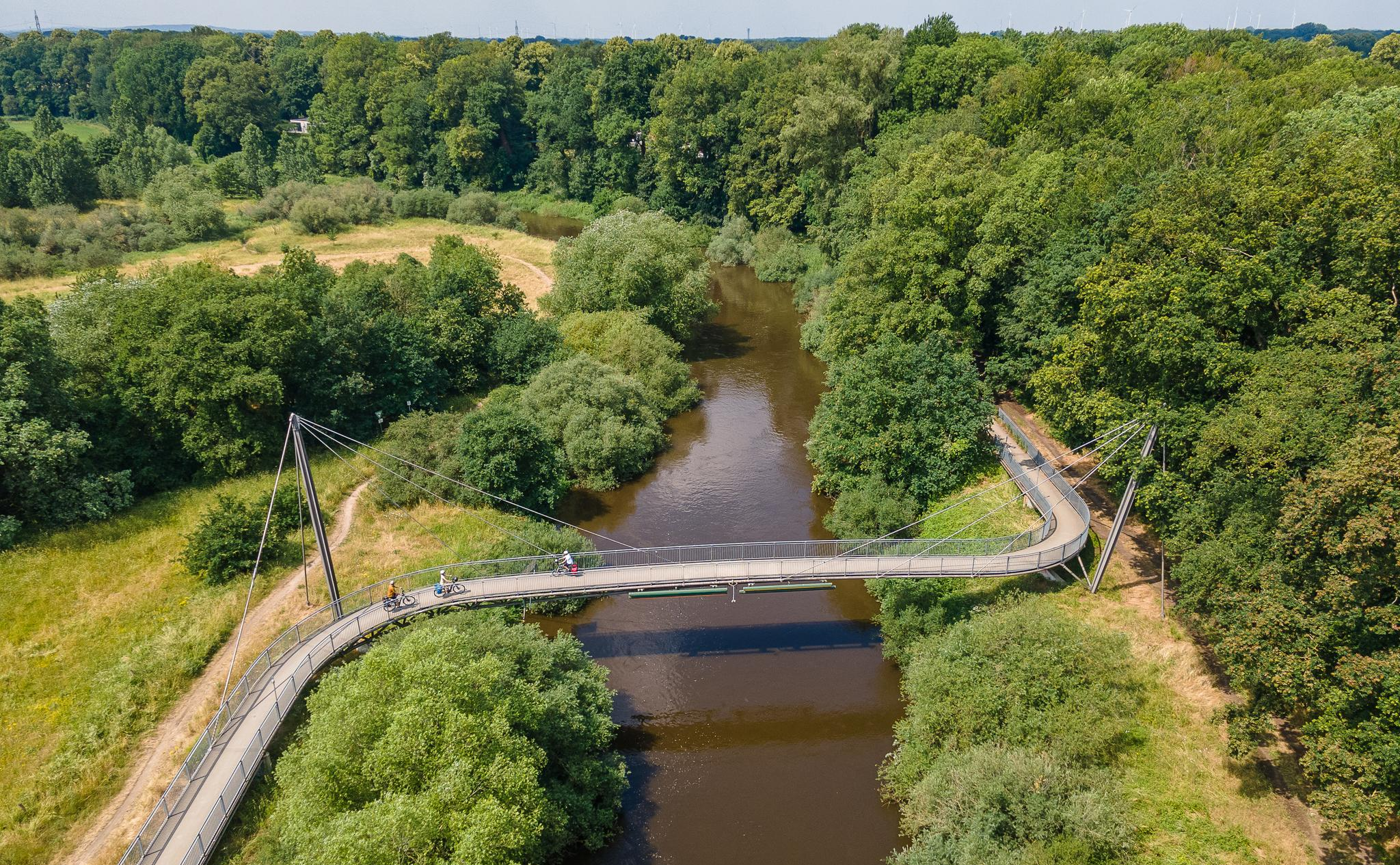
The Ems Cycle Route – in 7 stages from the Senne to the North Sea
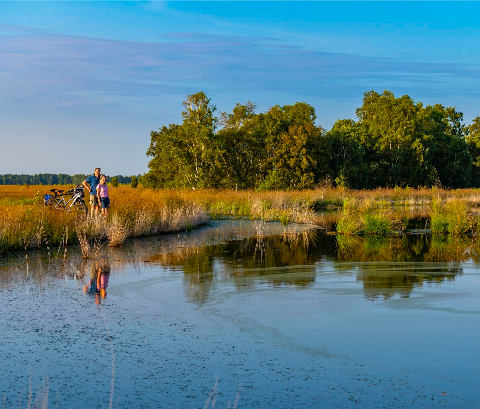
Moor & more – cycling through Emsland's peaceful and diverse landscapes
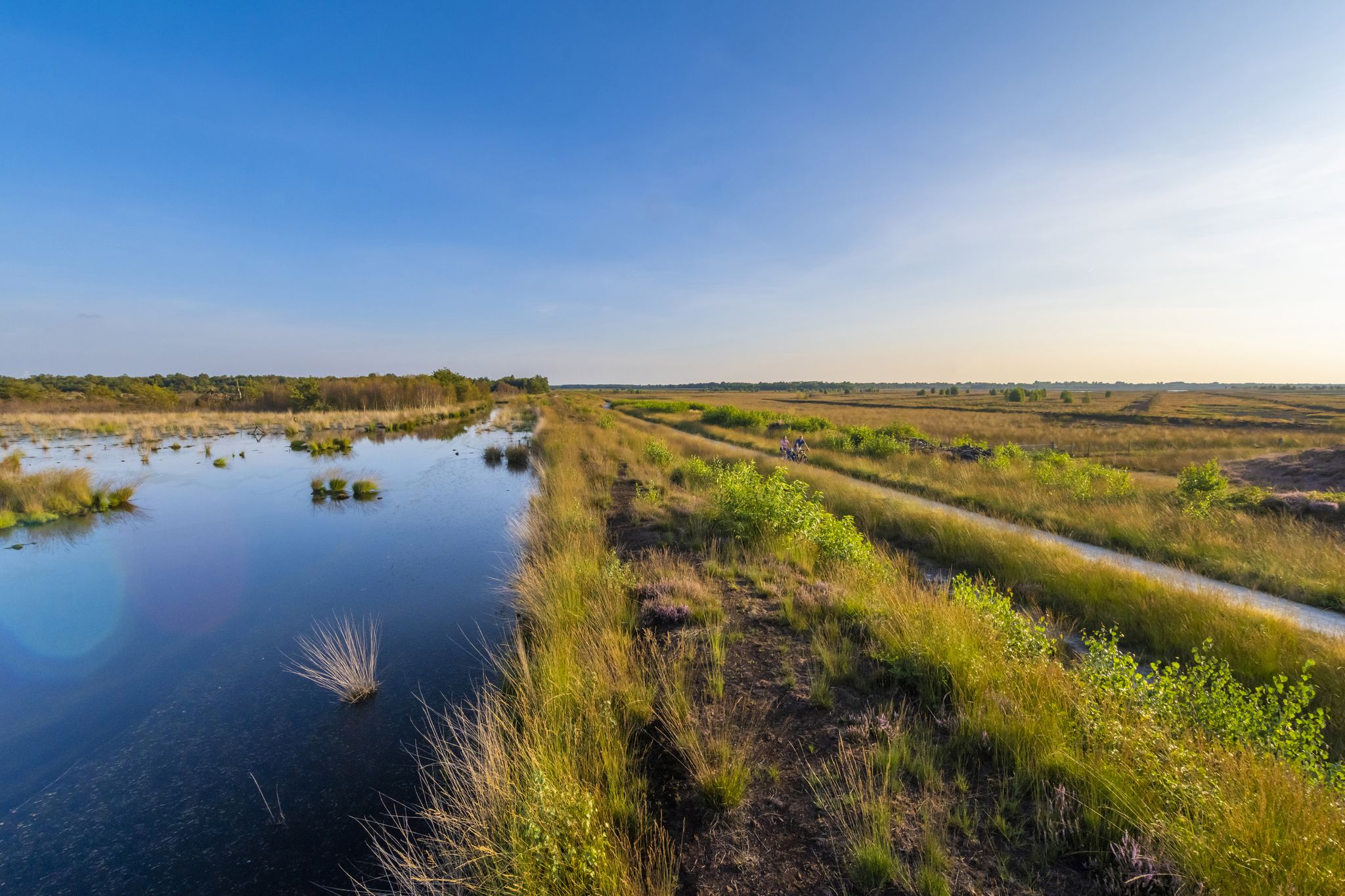
Water, moors and megaliths – geocycle routes in Emsland
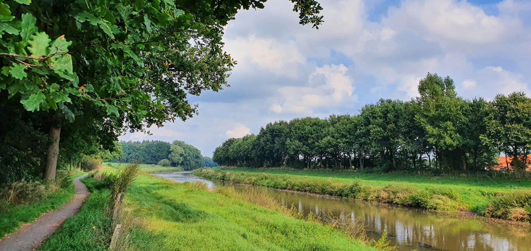
Where the Ems and Hase flow – beautiful cycle Tours along water in Emsland
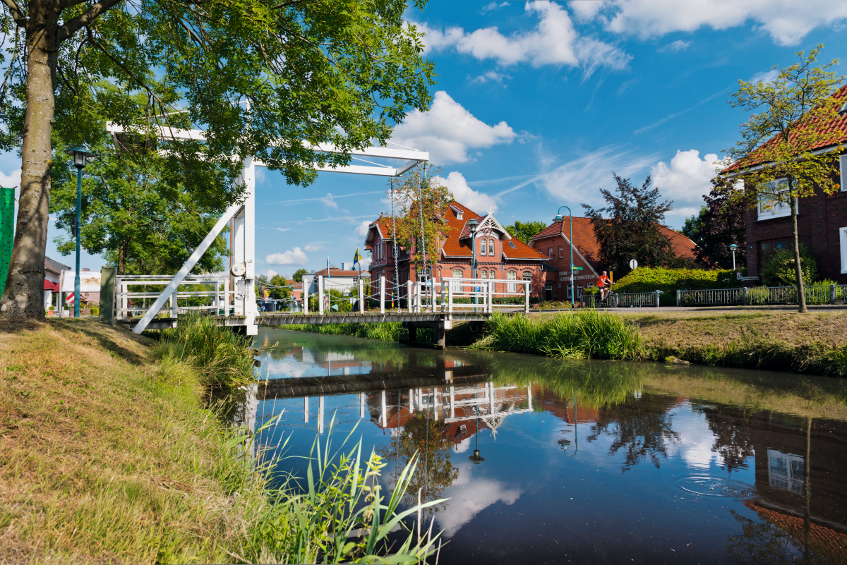
German Fehnroute – cycle Tour through the unique Fehn region
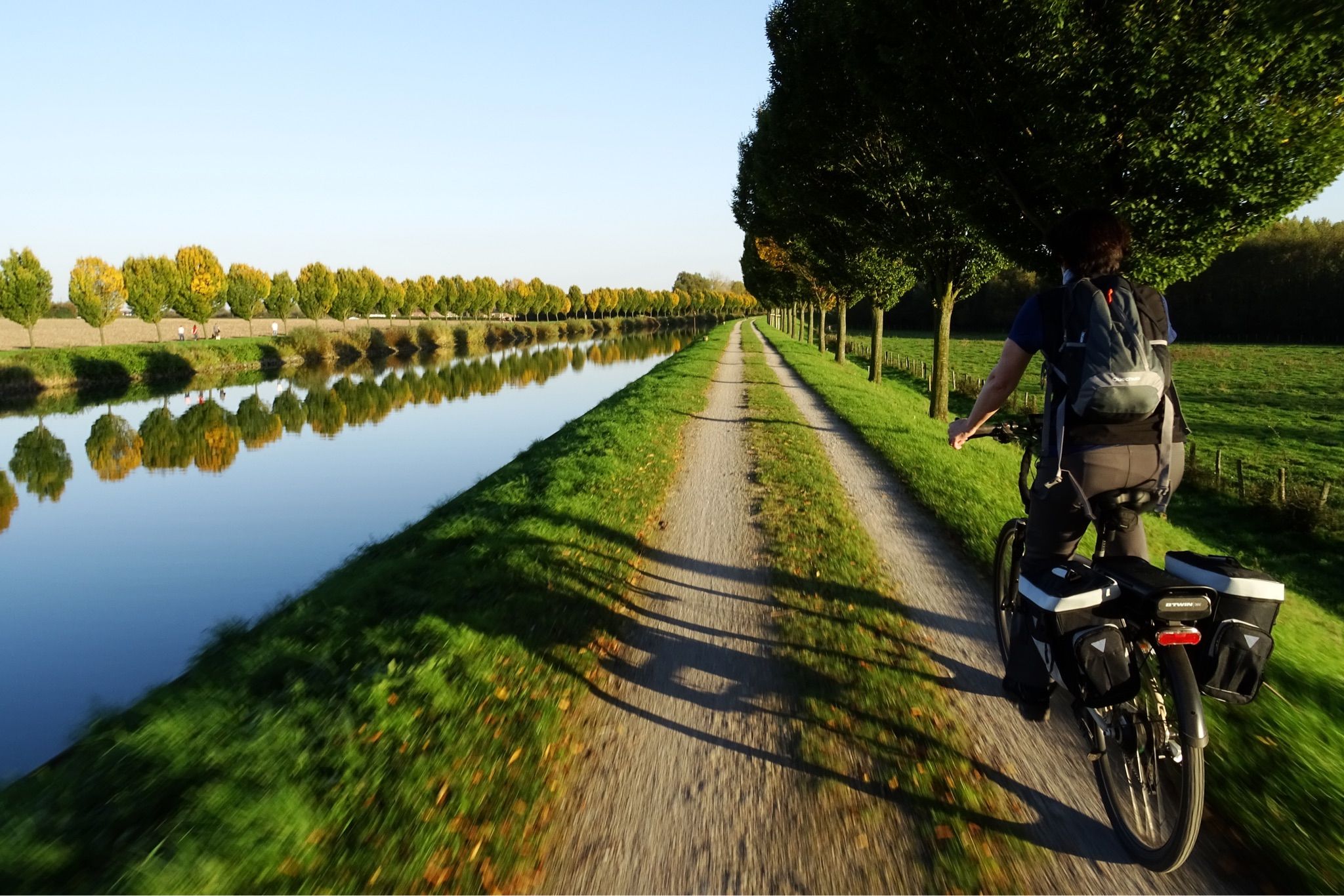
On to the mud flats – the Dortmund-Ems Canal Cycle Route
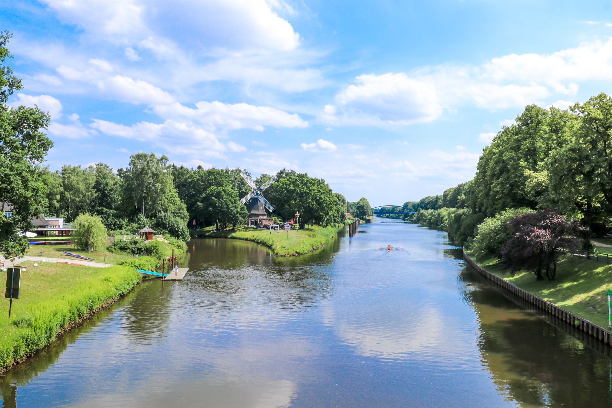
Cycling towards the horizon – the Emsland Route in Northern Germany
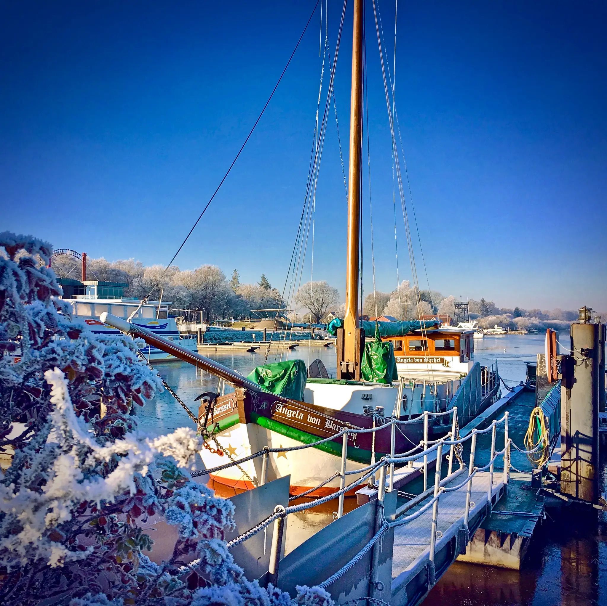
Moorland and nautical history – cycling the Fehn Route in Germany
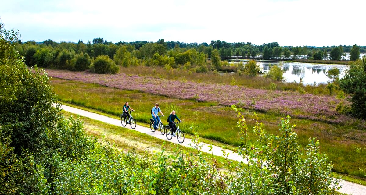
Emsland-Route
Other adventures around Papenburg


Tips from the Community


In summer a beautiful lake for swimming, also wonderful for walking
0
0

The ships are very beautiful to look at.
3
0

A beautiful little canal with many types of bridges and ships to look at.
3
0

With shops and cafes you can stroll around.
1
0

The beautifully landscaped and clean campsite has a tent area, a touring area, a motorhome parking area, and a permanent camping area. You can stay overnight without a tent in the small fairy cottage during your hike and enjoy a relaxing swim in the lake. If you get hungry, there's a restaurant, and the town is also nearby. It's the municipal campsite.
0
0

Replica of a Kuff at the Meyer shipyard, Papenburg Museum ship Margaretha von Papenburg on the main canal in front of the Sparkasse Margaretha von Papenburg
10
0
Frequently Asked Questions
How many bus-accessible hiking trails are there around Papenburg?
There are over 100 hiking trails around Papenburg that are easily accessible from bus stations, offering a wide range of options for all skill levels. Most of these, around 74, are rated as easy.
What kind of landscapes can I expect on bus-accessible hikes in Papenburg?
Papenburg's bus-accessible trails offer a diverse mix of landscapes. You can explore the picturesque Ems River landscape, with routes like the Emsauenweg, or venture into the unique Hümmling moorland. Many trails also feature charming canals, reminiscent of Papenburg's 'Venice of the North' nickname.
Are there any easy, family-friendly hikes accessible by bus in Papenburg?
Yes, Papenburg offers several easy, family-friendly options. The Papenburg City Park – Papenburg Main Canal loop from Papenburg is a great choice, passing through the urban green space which also hosts the 'Papenburg Animal and Adventure Trail'. Another easy option is the Papenburg Main Canal – Margaretha von Papenburg (ship) loop from Papenburg, which is short and scenic.
Which bus-accessible trails are suitable for dog owners?
Many trails around Papenburg are dog-friendly, especially those along the Ems River and through the moorland, where dogs can enjoy the open spaces. Always keep your dog on a leash, especially in nature reserves or near livestock. The Papenburg Main Canal – Tjalk Thekla of Papenburg loop from Papenburg is a pleasant, easy walk that many dog owners enjoy.
What are some notable points of interest I can see on bus-accessible hikes?
Hiking from bus stations in Papenburg allows you to discover several interesting sights. Along the Main Canal, you can see historic ships like the museum ship 'Friederike von Papenburg'. The Thousand-Year-Old Linden of Heede is a significant natural monument. You might also encounter the Aschendorfer Moor Trail, offering insights into the unique moorland ecosystem.
Are there circular hiking routes accessible from bus stops?
Yes, many of the bus-accessible trails in Papenburg are circular, allowing for convenient return to your starting point or another bus stop. Examples include the Tree Tunnel Path by the Lake – Demowald Lake loop from Bethlehem, Ferienhauspark and the various loops around the Papenburg Main Canal and City Park.
What is the best time of year to go hiking around Papenburg using public transport?
The best seasons for hiking around Papenburg are spring and summer. During these months, the Ems's meadows are in full bloom, the moorland thrives with rare plant species, and the weather is generally pleasant for outdoor activities. Public transport schedules are also typically more frequent during these peak seasons.
Can I find places to eat or drink near bus-accessible hiking trails?
Yes, especially on trails that pass through or near Papenburg's city center or along the Main Canal. The Main Canal area, for instance, offers various shops, cafés, and restaurants. The Papenburg City Park is also close to dining options. It's always a good idea to check local listings for specific establishments along your chosen route.
What do other hikers say about the trails around Papenburg?
The hiking trails around Papenburg are highly rated by the komoot community, with an average score of 4.47 out of 5 stars. Reviewers often praise the well-maintained paths, the scenic views along the Ems River and canals, and the accessibility of many routes for all fitness levels.
Are there any longer, more challenging bus-accessible hikes?
While many routes are easy, there are moderate options available. The Herbrum Lock – Sluice at the Ems loop from Holte III is a moderate, longer route covering over 14 kilometers, offering a more extended exploration of the Ems landscape. Always check the difficulty grade and distance before embarking on a longer hike.
Most popular routes around Papenburg
Most popular attractions around Papenburg

Get inspired with the komoot mobile app


Explore more
Browse the best Hikes in other regions.
