The best hikes from bus stations around Pfalzgrafenweiler
4.5
(3661)
13,550
hikers
121
hikes
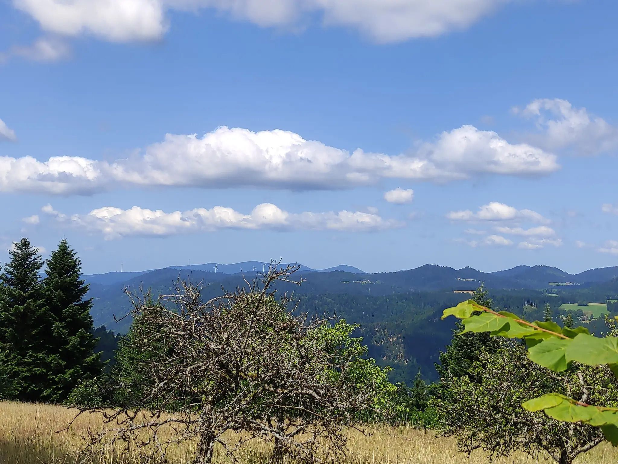
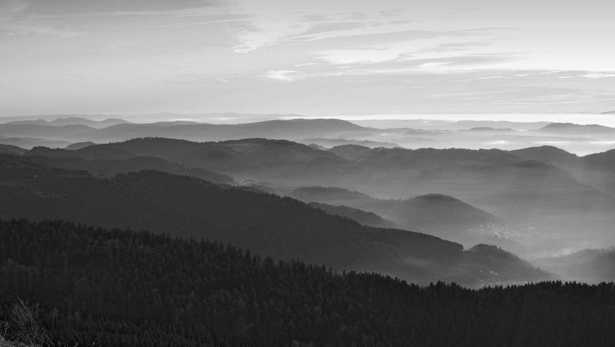
Hiking around Pfalzgrafenweiler offers diverse bus station hiking trails through the rolling hills of the Black Forest. The region features a mix of dense forests and open spaces, with valleys like Dürrbach, Zinsbach, and Bömbach providing secluded natural areas with flowing streams. Trails often lead through varied landscapes, offering panoramic views over the Neckar valley and towards the Swabian Alb from elevated points. This area provides a range of routes suitable for different fitness levels, accessible via public transport.
Best…
Last updated: July 10, 2026
4.5
(107)
369
hikers
Moderate hike. Good fitness required. Mostly accessible paths. Sure-footedness required.
4.8
(83)
239
hikers
7.02km
02:02
180m
180m
Moderate hike. Good fitness required. Easily-accessible paths. Suitable for all skill levels.

Sign up for free
4.8
(37)
135
hikers
13.2km
03:47
290m
290m
Moderate hike. Good fitness required. Easily-accessible paths. Suitable for all skill levels.
4.6
(35)
153
hikers
Easy hike. Great for any fitness level. Easily-accessible paths. Suitable for all skill levels.
4.7
(27)
137
hikers
Easy hike. Great for any fitness level. Easily-accessible paths. Suitable for all skill levels.
Get access to more routes and recommendations from other explorers.
Sign up for free
Already have an account?
Our route recommendations are based on thousands of hikes, rides, and runs completed by other people on komoot.
Start today with a free account
Your next adventure awaits.
Login or Signup
Other adventures around Pfalzgrafenweiler


Tips from the Community

Beautiful single trail path 🏞🥾 - Below the Vörbach ruin 🏰 / Nördlinger Hütte - Pfalzgrafenweiler - LKR. Freudenstadt
2
0
Maschenpfad Experience trail - Maschenpfad An experience trail to marvel at with currently 13 stations over approx. 2.5 km, based on an idea by Anne Krimmer. A colorful world of animals and plants made of crocheted and knitted motifs accompanies you through the forest. The start is at Schloßwald at the barrier of Nördlinger Hütte, continuing over the Zick-Zack-Weg to the end of the path below the Mandelberg ruins. The unraveled story of the Knitterbibus Can be seen as the Maschenpfad in the Schlosswald in Pfalzgrafenweiler. Sources: https://www.pfalzgrafenweiler.de/tourismus-freizeit/erlebniswege/maschenpfad https://wollklunker.blogspot.com/
1
0
The Vörbach ruin is a ridge castle near the municipality of Pfalzgrafenweiler in the district of Freudenstadt in Baden-Württemberg, above the Waldach valley. Remains of the keep, the shield wall, and a flanking tower have been preserved. The castle is first mentioned in a document in 1140 as the property of the Counts Palatine of Tübingen. The brothers Albrecht and Diem von Steinhilben were named as the first named owners in 1330. Their father Dietrich von Steinhilben likely received the castle as a fief from the Count Palatine. In 1360, Vörbach was sold by Count Burkhard to Count Palatine Ruprecht I. of the Palatinate. The complex was sold by Count Otto I. in 1440 to Counts Ludwig I. and Ulrich of Württemberg. The fief was granted to the Lords of Emershofen until 1483. They sold Vörbach for 1,800 guilders to the Lords of Ehingen. In 1485, Jörg von Ehingen was enfeoffed with Vörbach by Count Eberhard im Bart. Rudolf von Ehingen sold, among other things, the castle in 1498 to Hans von Neuneck zu Glatt. Wildhans von Neuneck sold the Vörbach castle estate in 1625 for 70,000 guilders to the Duke of Württemberg. After the great village fire of Pfalzgrafenweiler on April 24, 1798, the stones were used to rebuild the town. In 1906, the Schwarzwaldverein built the Nördlinger Hütte on a tower stump of the surrounding wall, named after a founding member, as a resting and shelter hut. It was last renovated in 1990 and is now used as the clubhouse of the Schwarzwaldverein Pfalzgrafenweiler. A curved ditch cuts off the castle site from the corner of the mountain. The foundation walls of the square keep are found on a hill. Rough-hewn ashlar blocks were used to build the tower, suggesting a late Staufen construction. The exact height is not known, but is estimated to be around 30 meters. A large castle complex with numerous outbuildings can be seen on a historical forest map from 1584. A description from 1625 mentions a summer house, a gatekeeper's house, cattle and horse stables, and a well, among other things. Two buildings used as cattle stables and a sheep barn were located outside the castle. No remains of these are visible anymore. Source: https://de.wikipedia.org/wiki/Ruine_V%C3%B6rbach
2
0
Beautiful playground on the Schlossweg 🏞🏰🥾 - Pfalzgrafenweiler - LKR. Freudenstadt
2
0

The Nördlinger Hütte in Pfalzgrafenweiler was built in 1906 by the Schwarzwaldverein on the remains of Burg Vörbach and named after its chairman Julius Nördlinger. Since 1990 it has been renovated several times, most recently in 2019. Today it serves as a club house and resting place for hikers. Burg Vörbach was already mentioned in 1140, changed owners several times and came to the municipality in 1625. After a fire in 1798, its stones were used for the reconstruction of the town, so that only a few remains are preserved today.
0
0

4 circular hikes starting from the parking lot at the Waldsägmühle
6
0

The ideal place to take a break...
3
0

Beautiful and with more water certainly great
0
0
Frequently Asked Questions
How many hiking trails are accessible from bus stations around Pfalzgrafenweiler?
There are over 115 hiking trails around Pfalzgrafenweiler that are easily accessible from local bus stations. This makes it convenient to explore the diverse landscapes of the Black Forest region without needing a car.
Are there easy hiking routes suitable for beginners or families?
Yes, Pfalzgrafenweiler offers a good selection of easy hikes. For example, the Waldsägmühle Hiking Car Park – Old Spruce loop from Pfalzgrafenweiler is an easy 6.7 km route. Many trails are well-maintained and suitable for a relaxed outing, often leading through charming nature and cultural landscapes.
Can I find circular hiking routes starting from bus stops?
Absolutely. Many routes are designed as circular trails, allowing you to start and end your hike at the same bus station. The Playground on Schlossweg – Nördlinger Hut loop from Pfalzgrafenweiler is a moderate 7 km circular route that offers varied scenery.
What kind of natural landscapes and features can I expect to see?
The region around Pfalzgrafenweiler is characterized by a mix of dense forests and expansive open spaces. You can explore secluded natural areas within the Dürrbach, Zinsbach, and Bömbach valleys, where idyllic streams flow. The Zinsbachtal Valley is particularly notable for its natural beauty.
Are there any routes that feature waterfalls or special water bodies?
Yes, the region is known for its water features. The Zinsbach valley features streams, and the "Wasserfallsteig" (Waterfall Trail) offers an adventurous route along several waterfalls and streams, providing refreshing sounds and impressive natural spectacles. The Nagold Reservoir Lakeside Path – Erzgrube Lake loop from Waldsägmühle is another great option for water views.
What are some notable attractions or viewpoints along these bus-accessible trails?
Many trails offer panoramic views over the Neckar valley and even towards the Swabian Alb. The Egenhauser Kapf is a protected landscape area known for its magnificent vistas. You might also encounter historical sites like the remains of the Zinsbach chapel or the "Bat Cellar" in the Zinsbach valley. For historical architecture, consider routes that pass near Hohennagold Castle Ruins or Berneck Castle.
Are the hiking trails around Pfalzgrafenweiler dog-friendly?
Most trails in the Pfalzgrafenweiler area are dog-friendly, allowing you to enjoy the natural beauty with your canine companion. It's always recommended to keep dogs on a leash, especially in nature reserves or near livestock, and to carry waste bags. The varied terrain of forests and open spaces provides a great environment for dogs.
What is the best time of year to go hiking in this region?
Pfalzgrafenweiler offers enjoyable hiking experiences throughout the year. Spring brings vibrant flora, especially around Wildsee Lake. Summer is ideal for longer hikes, while autumn showcases stunning foliage. Even winter can be beautiful for a crisp walk, though some trails might require appropriate gear for snow or ice.
Are there longer or more challenging routes for experienced hikers?
Yes, for those seeking more challenge, there are moderate to difficult routes. The Pfalzgrafenweiler Four Castles Trail is a moderate 14 km hike with significant elevation changes, offering a rewarding experience for more seasoned hikers.
What do other hikers say about the trails around Pfalzgrafenweiler?
The hiking trails in this area are highly rated by the komoot community, with an average score of 4.5 stars. Reviewers often praise the well-maintained paths, the diverse scenery ranging from dense forests to open panoramic views, and the convenience of accessing trails directly from bus stations.
Are there options for refreshments or places to eat along the routes?
While specific refreshment points vary by route, many trails pass through or near villages where you can find local cafes or restaurants. It's always a good idea to check the route details beforehand and pack sufficient water and snacks, especially for longer excursions.
Most popular routes around Pfalzgrafenweiler
Most popular attractions around Pfalzgrafenweiler

Get inspired with the komoot mobile app


Explore more
Browse the best Hikes in other regions.
