The best traffic-free bike rides around Niederkrüchten
4.4
(877)
17,633
riders
211
rides
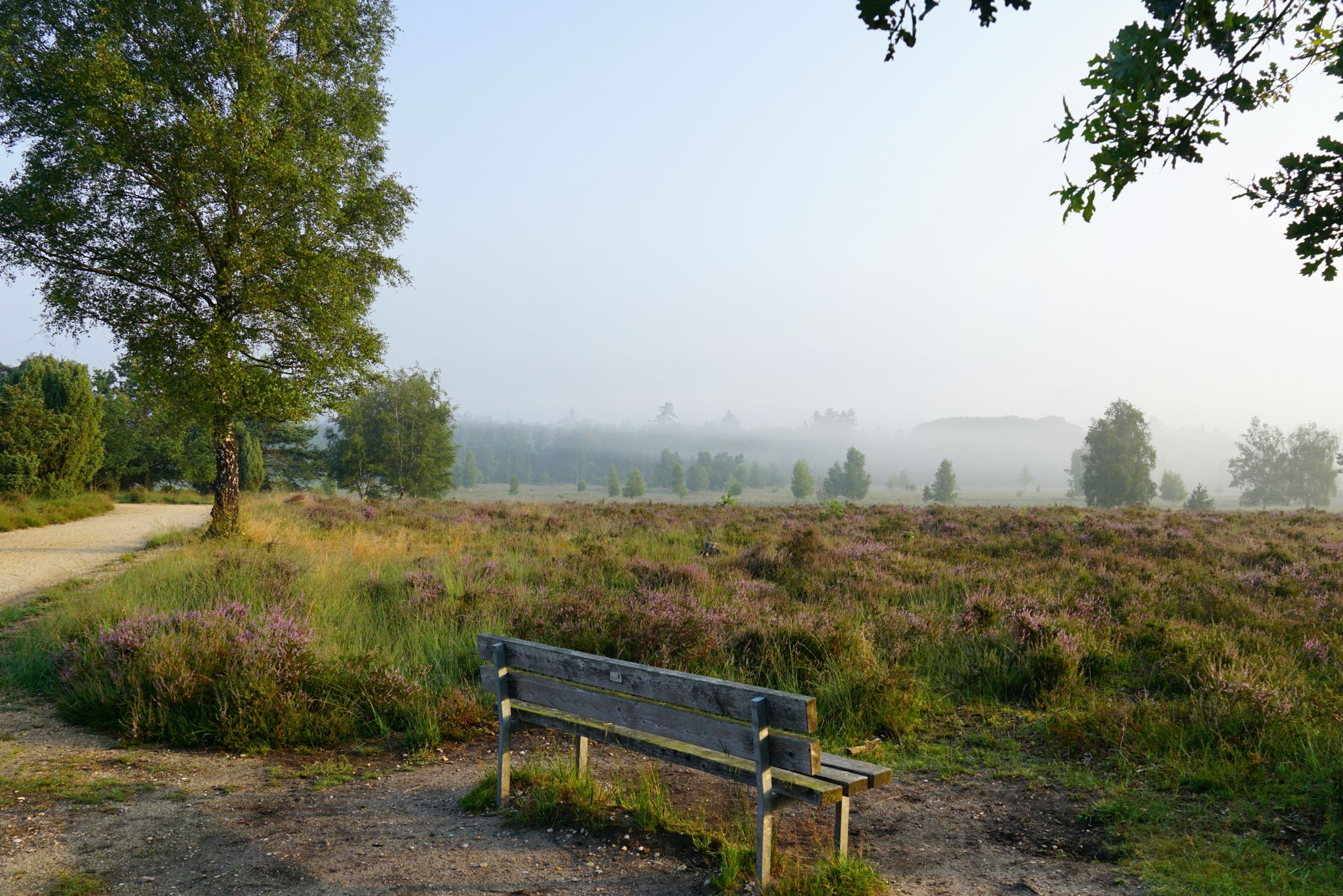
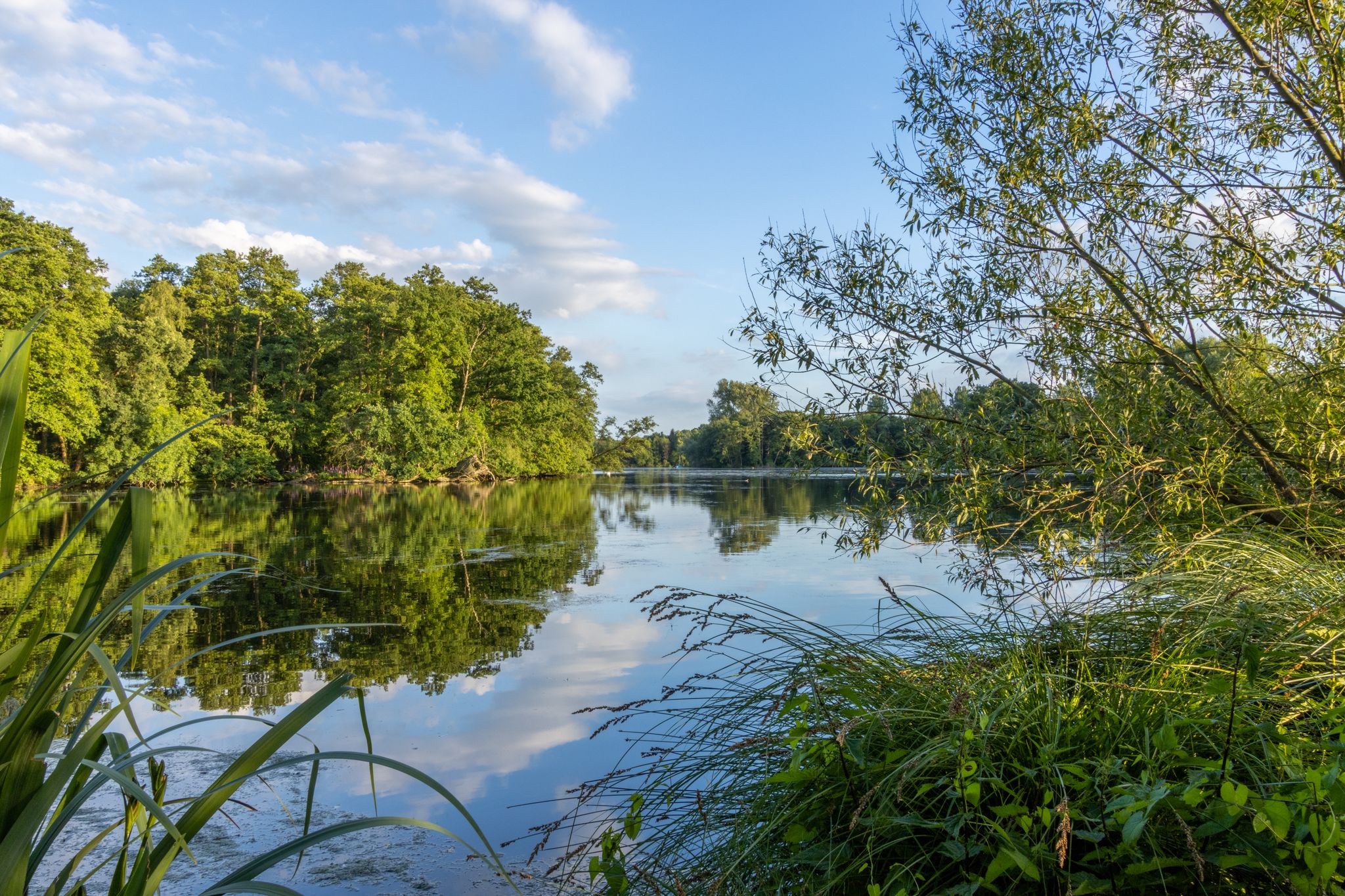
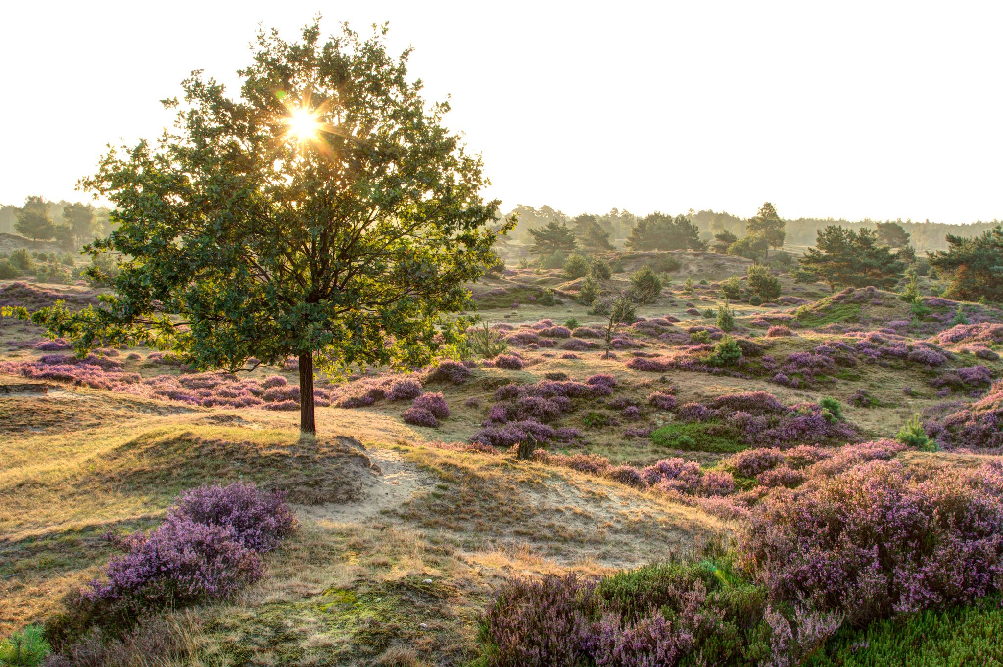
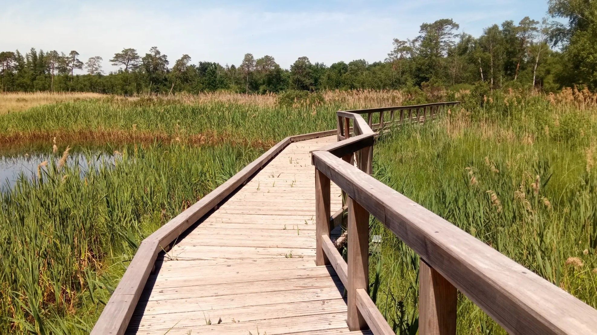
Road cycling around Niederkrüchten offers extensive no traffic road cycling routes within the Maas-Schwalm-Nette Nature Park. The region is characterized by its water-rich landscapes, featuring rivers, streams, and lakes, alongside extensive forest and heath areas. Cyclists will find numerous paved roads, many of which are car-free, providing varied terrain with low gradients suitable for road cycling.
Best no traffic road cycling routes around Niederkrüchten
- The most popular no traffic road cycling route is Wittsee – Brachter Forest loop from Brüggen, a 29.0 miles (46.7 km) trail that takes 2 hours 2 minutes to complete. This route navigates through the water-rich landscapes of the Maas-Schwalm-Nette Nature Park.
- Another top favourite among local road cyclists is Wittsee – Dornbuscher Höhe loop from Brüggen, a moderate 30.2 miles (48.6 km) path. It offers views of the Wittsee and passes through surrounding forests and open areas.
- Local road cyclists also love the Stammenmühle Windmill – North Canal loop from NSG Lotzemer Bruch, a 31.2 miles (50.2 km) trail leading through water-rich areas and heath landscapes, often completed in about 2 hours 2 minutes.
- Road cycling around Niederkrüchten is defined by its extensive network of paved, often car-free roads, traversing the Maas-Schwalm-Nette Nature Park, forests, and heathlands. The network offers options for various ability levels, from easy rides to more challenging excursions.
- The routes in Niederkrüchten are highly rated by the komoot community with an average score of 4.8 stars from over 20 reviews. More than 400 road cyclists have used komoot to explore Niederkrüchten's varied terrain.
Last updated: July 10, 2026
4.7
(7)
42
riders
63.2km
02:47
280m
280m
Moderate road ride. Good fitness required. Some segments of this route may be unpaved and difficult to ride.
4.3
(3)
34
riders
55.0km
02:16
200m
200m
Moderate road ride. Good fitness required. Mostly well-paved surfaces and easy to ride.

Sign up for free
35
riders
96.2km
04:05
210m
210m
Moderate road ride. Good fitness required. Some segments of this route may be unpaved and difficult to ride.
22
riders
46.7km
02:00
140m
140m
Moderate road ride. Good fitness required. Some segments of this route may be unpaved and difficult to ride.
5.0
(1)
21
riders
78.2km
03:20
200m
200m
Moderate road ride. Good fitness required. Some segments of this route may be unpaved and difficult to ride.
Get access to more routes and recommendations from other explorers.
Sign up for free
Already have an account?
Our route recommendations are based on thousands of hikes, rides, and runs completed by other people on komoot.
Start today with a free account
Your next adventure awaits.
Login or Signup
Popular around Niederkrüchten
Other adventures around Niederkrüchten


Tips from the Community


The dam has been around for 100 years
1
0
Linne is located close to the Maas lakes, the weir and the locks
1
0

A view of Roermond's city center, featuring St. Christopher's Cathedral, combines two defining elements of the city: its vibrant historic center and one of its most important architectural landmarks. St. Christopher's Cathedral is a Gothic cruciform basilica dating from 1410 and has been the cathedral of the Diocese of Roermond since 1559. It stands in the heart of the city, near the market square and not far from the Meuse River. St. Christopher's Cathedral is a Gothic cruciform basilica dating from 1410 and has been the seat of the bishop of the Diocese of Roermond since 1559. It stands in the very heart of the city, near the market square and not far from the Meuse River. ...
0
2

The center of Roermond is the historic, cultural, and social heart of this Limburg city. It forms the core where ancient history, modern vibrancy, shopping, restaurants, monuments, and city life converge, making Roermond an attractive destination for residents and visitors from home and abroad. Thanks to its compact layout, virtually all sights, shops, cafés, and squares are within walking or cycling distance, making the city center an accessible and inviting place to explore. Roermond is a city with a rich history dating back to the medieval era. The city received city rights in 1232 and quickly developed into an important commercial and religious center, partly due to its location at the confluence of the Roer and Meuse rivers. Throughout the centuries, Roermond served as a settlement for various rulers, including the Habsburgs, and despite occupation and wars, it retained its urban character. The historic center reflects this rich development. Here you will find monumental buildings, medieval streets, squares, and religious structures that bear witness to the city's long and often turbulent history. Around the central squares and main streets, you'll find buildings from various eras, from early medieval and Gothic churches to neo-Gothic restorations and stately facades from later centuries. Two of the most important public spaces in the city center are the Marktplein (Market Square) and Munsterplein (Munster Square), spacious meeting places that shape daily city life. In the Marktplein, besides terraces and cafés, you'll also find the Town Hall and historic facades where local markets and events are held. The square is lively with a good mix of restaurants and cafes and people who come for coffee, lunch, or dinner outdoors. Munsterplein forms the city's historic podium, with the Onze Lieve Vrouwe Munsterkerk (Church of Our Lady), one of the finest examples of late Romanesque architecture in the Netherlands, as its focal point, surrounded by classical facades and the distinctive bandstand by architect Pierre Cuypers. During the summer months, music often plays here and cultural events are held. Roermond's city center is home to several prominent religious and historic buildings. St. Christopher's Cathedral, with its impressive Gothic architecture and rich interior, stands right in the city center and is the seat of the Diocese of Roermond. The cathedral attracts both the faithful and tourists curious about the building's art and history. In addition, smaller chapels, historic facades, and monuments are within walking distance around the city center, including the Carolus Chapel and the Rattentoren (Rat Tower), a remnant of the city's medieval defenses. These can be easily explored with walking routes from the tourist office or apps like IZI Travel. The city center is known for its diverse range of shops, which combine traditional stores with modern specialty stores. Besides well-known chain stores, you'll find numerous boutiques, local concept stores, and artisan shops in the narrow alleys and streets. This mix makes the city center an attractive place for a day of shopping, where history and modernity go hand in hand.
1
2

The path is now open again for cyclists.
2
0

https://bsks.de/brachter-wald Once the largest ammunition depot in Europe, now a nature reserve
0
0
Frequently Asked Questions
How many no traffic road cycling routes are available around Niederkrüchten?
There are over 200 dedicated no traffic road cycling routes around Niederkrüchten. This extensive network ensures a wide variety of options for cyclists looking for quiet, car-free experiences.
What is the general difficulty level of no traffic road cycling routes in Niederkrüchten?
The majority of no traffic road cycling routes in Niederkrüchten are classified as moderate, with nearly 150 such tours. However, there are also over 50 easy routes perfect for a relaxed ride, and a few more challenging options for experienced cyclists.
What kind of landscapes can I expect on no traffic road cycling routes around Niederkrüchten?
Niederkrüchten is nestled within the picturesque Maas-Schwalm-Nette Nature Park, offering diverse, water-rich landscapes. You'll cycle through extensive forests, serene heathlands, and along rivers like the Schwalm, with many routes featuring lakes such as the Hariksee. The low gradient of the rivers creates unique wetland environments and flooded forests, providing a tranquil and scenic backdrop for your ride.
Are there any natural attractions or points of interest along the no traffic road cycling routes?
Yes, many routes pass by beautiful natural attractions. You can explore areas like the Elmpter Schwalmbruch Nature Reserve, cycle past the tranquil Lake Holtmühle, or discover the unique Beaver wetland in the Schaagbach Valley. The prominent Hariksee (Harik Lake) is a frequent highlight, and you might even encounter the Galgenvenn heathland, moorland and ponds.
Are there any cross-border no traffic cycling opportunities from Niederkrüchten?
Absolutely. Due to Niederkrüchten's proximity to the Dutch border, many routes extend into the Netherlands, particularly towards the Meinweg National Park. This allows for unique international cycling adventures on quiet, paved roads, connecting you to an even wider network of traffic-free paths.
Are the no traffic road cycling routes suitable for families or beginners?
Yes, Niederkrüchten offers over 50 easy no traffic road cycling routes, making it an excellent destination for families and beginners. These routes typically feature well-paved surfaces and minimal elevation changes, ensuring a comfortable and safe riding experience for all skill levels.
What is the best time of year to go road cycling in Niederkrüchten?
The best time for no traffic road cycling in Niederkrüchten is generally from spring through autumn. During these seasons, the weather is most favorable, and the natural landscapes of the Maas-Schwalm-Nette Nature Park are at their most vibrant, offering beautiful scenery and comfortable riding conditions.
Are there places to stop for refreshments or rest along the no traffic routes?
Yes, you'll find various spots to take a break. Some routes pass by establishments like De Bos Inn, offering opportunities for refreshments. Additionally, there are shelters such as the Shelter at the Rur and Baaler Bach with Beaver Experience Station or De Hoot-Hött at the Kull Shelter, perfect for a quick rest.
Can I find circular no traffic road cycling routes in Niederkrüchten?
Yes, many of the no traffic road cycling routes around Niederkrüchten are designed as circular loops. For example, you can enjoy the Wittsee – Brachter Forest loop from Brüggen or the Wittsee – Dornbuscher Höhe loop from Brüggen, allowing you to start and end your ride at the same point without retracing your steps.
What do other road cyclists enjoy most about no traffic road cycling in Niederkrüchten?
The komoot community highly rates the no traffic road cycling experience in Niederkrüchten, with an average score of 4.8 out of 5 stars. Reviewers often praise the tranquil, car-free paths, the diverse natural beauty of the Maas-Schwalm-Nette Nature Park, and the well-maintained surfaces that make for an enjoyable and safe ride.
Are there any longer no traffic road cycling routes for more endurance-focused rides?
Yes, for those seeking longer rides, there are several extensive no traffic routes. An example is the Black Water – Border Crossing Tor 9 Memorial loop from Brüggen, which covers over 65 kilometers, allowing for a substantial and uninterrupted cycling experience through varied landscapes.
Are there routes that specifically highlight the water features of the region?
Many routes are designed to showcase the region's water-rich character. You can find tours that follow the Schwalm River, offering scenic views along its banks, or explore loops around lakes like the Hariksee. The Stammenmühle Windmill – North Canal loop from NSG Lotzemer Bruch is another excellent option that incorporates water features and historical elements.
Most popular routes around Niederkrüchten
Most popular attractions around Niederkrüchten

Get inspired with the komoot mobile app


Explore more
Browse the best Road cycling routes in other regions.
