The best hikes from bus stations around Klingenthal
4.6
(9892)
32,722
hikers
148
hikes
Bus station hiking trails around Klingenthal are set within Germany's Vogtland region, characterized by a landscape of gentle hills and extensive forests. The area features diverse terrain, including paths along meandering streams and routes leading to significant natural landmarks. Hikers can explore varied elevations, from valley floors to the higher points of the Vogtland, offering a range of experiences for different fitness levels.
Best bus station hiking trails around Klingenthal
- The most popular bus station hiking route is Schneckenstein Topaz…
Last updated: October 13, 2026
4.6
(64)
167
hikers
19.0km
05:12
300m
300m
Hard hike. Very good fitness required. Easily-accessible paths. Suitable for all skill levels.
4.6
(42)
131
hikers
13.1km
03:51
370m
370m
Moderate hike. Good fitness required. Easily-accessible paths. Suitable for all skill levels.

4.5
(64)
228
hikers
9.22km
02:33
160m
160m
Moderate hike. Good fitness required. Easily-accessible paths. Suitable for all skill levels.
4.7
(25)
113
hikers
Moderate hike. Good fitness required. Easily-accessible paths. Suitable for all skill levels.
4.8
(32)
105
hikers
5.50km
01:36
150m
140m
Easy hike. Great for any fitness level. Easily-accessible paths. Suitable for all skill levels.
Get access to more routes and recommendations from other explorers.
Already have an account?
Our route recommendations are based on thousands of hikes, rides, and runs completed by other people on komoot.
Start today with a free account
Your next adventure awaits.
Popular around Klingenthal
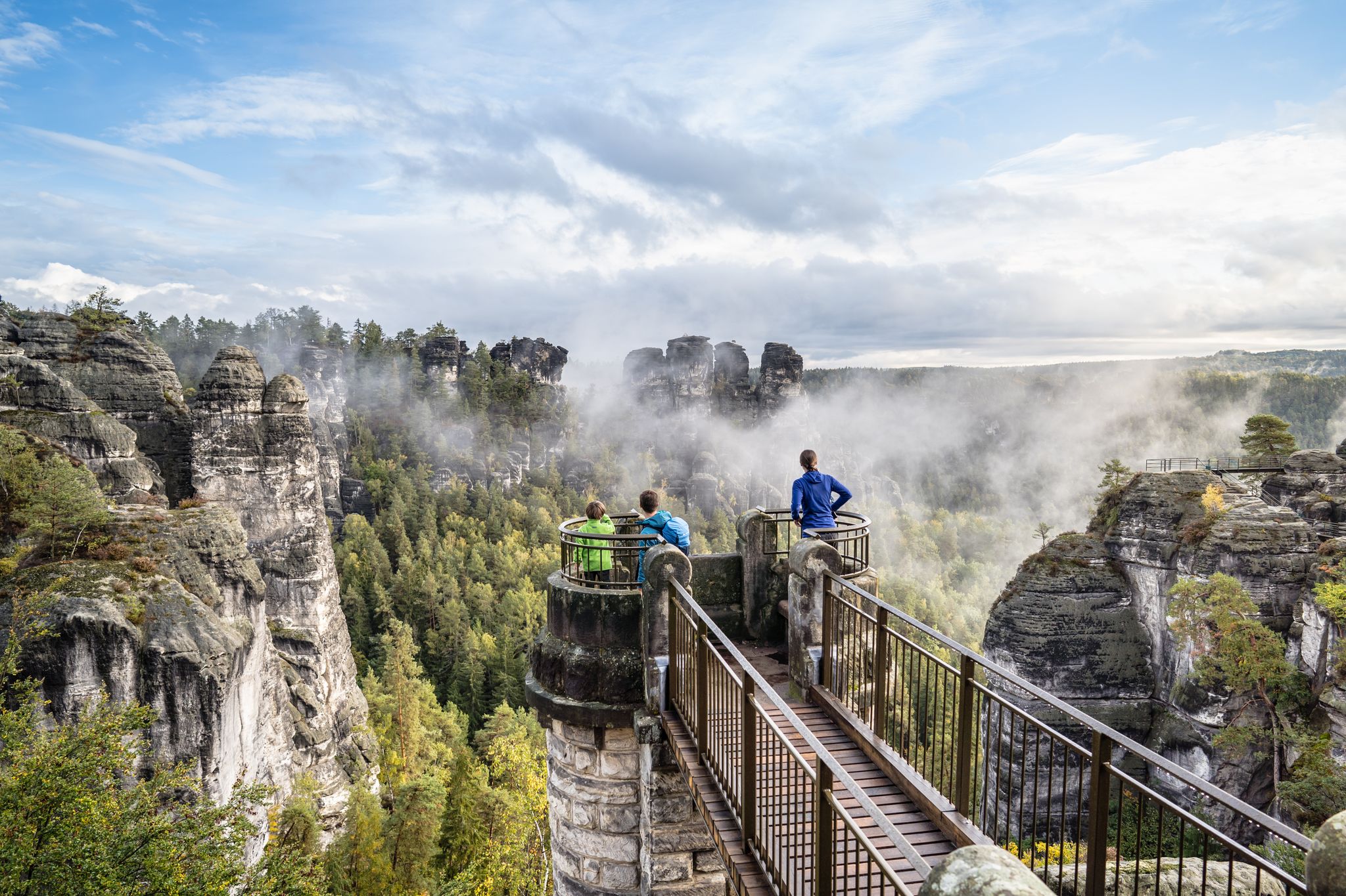
Natural wonders of Saxony – hiking with the wow factor

History meets nature – Erzgebirge-Vogtland Ridge Trail
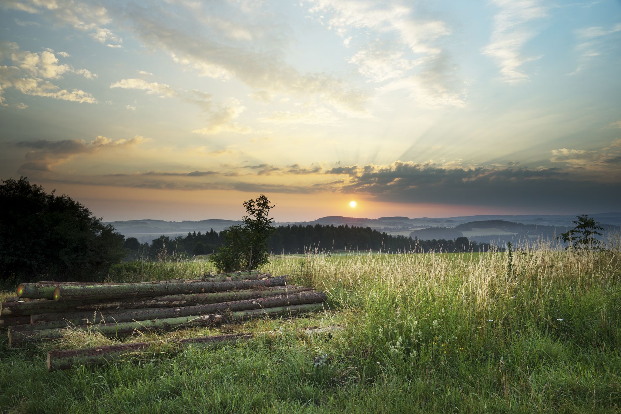
The Klingenthal Trail & Zeulenroda Dam – Hiking in Vogtland in Germany
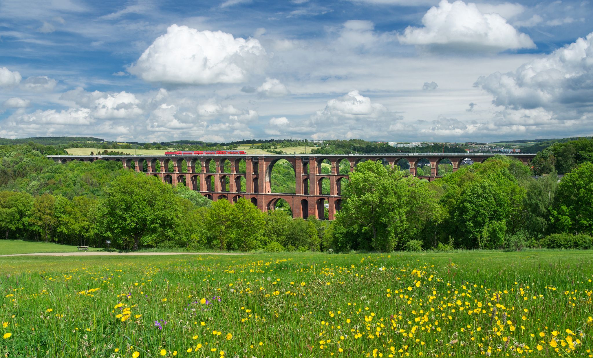
Experience nature’s symphony – Vogtland Panorama Trail

Pure road and gravel riding joy through Saxony

Gravel and road cycling in the Vogtland region

A snowy paradise – winter hiking and cross-country skiing in Germany’s Vogtland
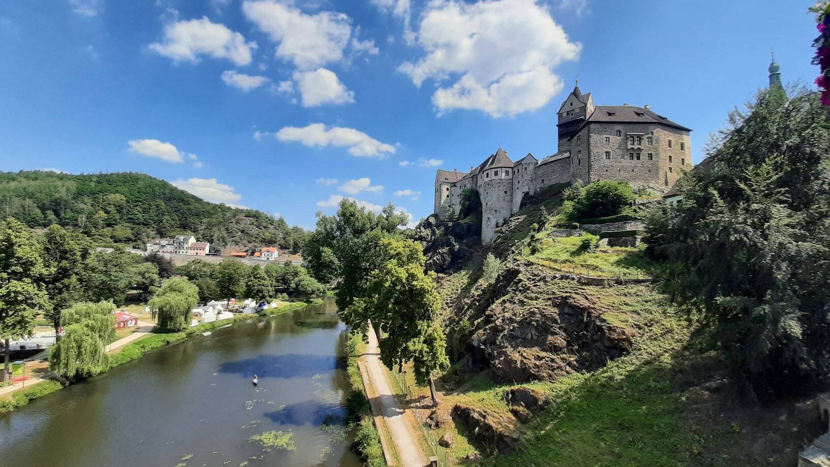
Through the heart of Europe – riding the Euregio Egrensis
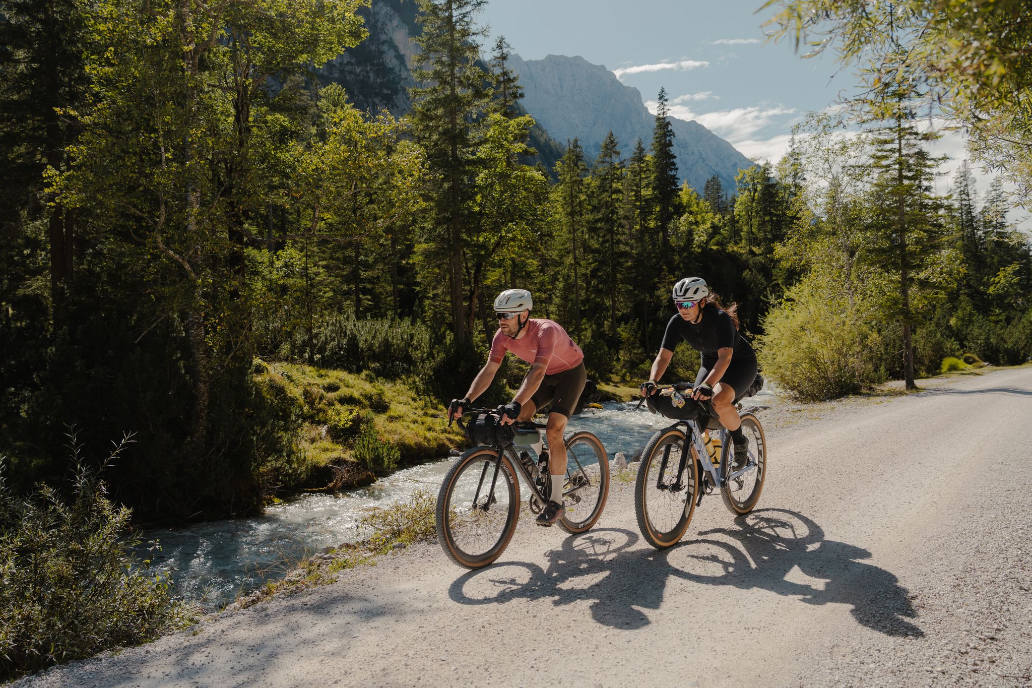
Schotterglück und Overnight-Abenteuer – Graveln mit Roeckl Sports
Other adventures around Klingenthal


Tips from the Community

a great place for a break with a view. Unfortunately, it is rather difficult to reach by bike.
0
0

Unfortunately no longer in operation
0
0

If there is enough water, it will be a beautiful facility 👍
0
0

My tip: the hotel restaurant offers great food with a changing menu at fair prices and good portions
0
0

in winter you can go tobogganing here
0
0

The rooms are ideal for resting and changing before and after sporting activities. There are changing rooms and toilets for men and women. The ski rental and mountain rescue service are located next door.
0
0

Here at the edge of the forest you have a wonderful view of Mühlleithen and the Mühlleithner meadows, once the venue for the international women's ski race.
0
0
Frequently Asked Questions
How many bus station hiking trails are available around Klingenthal?
There are over 140 hiking routes around Klingenthal that are easily accessible from bus stations. This includes a wide range of options, with 61 easy, 74 moderate, and 8 difficult trails to choose from.
What kind of terrain can I expect on hikes from Klingenthal's bus stations?
The trails around Klingenthal, nestled in the Vogtland region, feature diverse landscapes. You can expect gentle hills, extensive forests, and paths along meandering streams. Some routes also lead to higher elevations like the Aschberg Summit, offering panoramic views.
Are there easy hiking options accessible from bus stations in Klingenthal?
Yes, Klingenthal offers plenty of easy hiking options from its bus stations. With 61 easy routes available, you'll find paths suitable for a leisurely stroll or a relaxed day out in nature. These trails are generally well-maintained and suitable for beginners.
Can I find circular hiking routes starting from bus stations?
Absolutely. Many routes are designed as circular walks, allowing you to start and end your hike at the same bus station. An example is the Aschberg Observation Tower – Border Trail loop from Vogtlandschanzen, which offers a moderate 9.2 km experience.
Are there any family-friendly hiking trails accessible by bus in Klingenthal?
Yes, the region is well-suited for families. The Aschberg Observation Tower – Border Trail loop from Vogtlandschanzen is a moderate option that offers engaging views without being overly strenuous. The broader Kammweg Erzgebirge-Vogtland, which passes through the area, is also known for being family-friendly.
What natural landmarks or points of interest can I see on these bus-accessible hikes?
Many trails lead to significant natural landmarks. You can hike to the unique Schneckenstein Topaz Rock, a natural monument. Other routes might take you past the Muldenberg Dam and Reservoirs, or offer views from the Aschberg Summit. The Source ponds of the Rote Mulde and Meilerhütte are also notable points of interest.
Are there any dog-friendly hiking trails from Klingenthal's bus stations?
Most trails in the Klingenthal region are dog-friendly, provided your dog is kept on a leash and you clean up after them. The extensive forests and varied terrain offer plenty of opportunities for you and your canine companion to enjoy the outdoors. Always check local signage for specific restrictions.
What is the best time of year for hiking from bus stations in Klingenthal?
Klingenthal offers great hiking experiences throughout the year. Spring brings lush greenery, while autumn is particularly attractive with the changing colors of the foliage. Summer provides warm weather for longer excursions. Even in winter, with appropriate gear, you can enjoy the snowy landscapes, especially on well-maintained paths.
Can I find cafes or places to eat near the hiking trails accessible by bus?
Yes, several routes have amenities nearby. For instance, the Aschberg Alm – Lower Raft Pond loop from Vogtlandschanzen passes by the Aschberg Alm, a hut where you can often find refreshments. The town centers themselves also offer various dining options.
What do other hikers enjoy the most about hiking in Klingenthal?
The area is highly rated by the komoot community, with an average score of 4.7 stars. Reviewers often praise the diverse landscapes, the well-maintained trail network, and the panoramic views from elevated points like the Aschberg. The accessibility of trails from public transport is also a frequently appreciated aspect.
Are there any longer, more challenging routes accessible by bus?
Yes, for those seeking a greater challenge, there are longer and more difficult routes. The Schneckenstein Topaz Rock – Pig Pond loop from Vogtlandschanzen is a difficult 19 km trail with significant elevation gain, offering a rewarding experience for experienced hikers.
Are there any cross-border hiking opportunities from Klingenthal?
Yes, Klingenthal is part of the unique "Hiking without limits" Trail, which crosses the border between Germany and the Czech Republic. This trail offers not only scenic views but also historical information, symbolizing friendship between the two countries. It passes through Klingenthal's city center and the Czech towns of Bublava and Kraslice.
Most popular routes around Klingenthal
Most popular attractions around Klingenthal

Get inspired with the komoot mobile app


Explore more
Browse the best Hikes in other regions.
