The best hikes from bus stations around Grevenbroich
4.5
(4417)
8,069
hikers
263
hikes
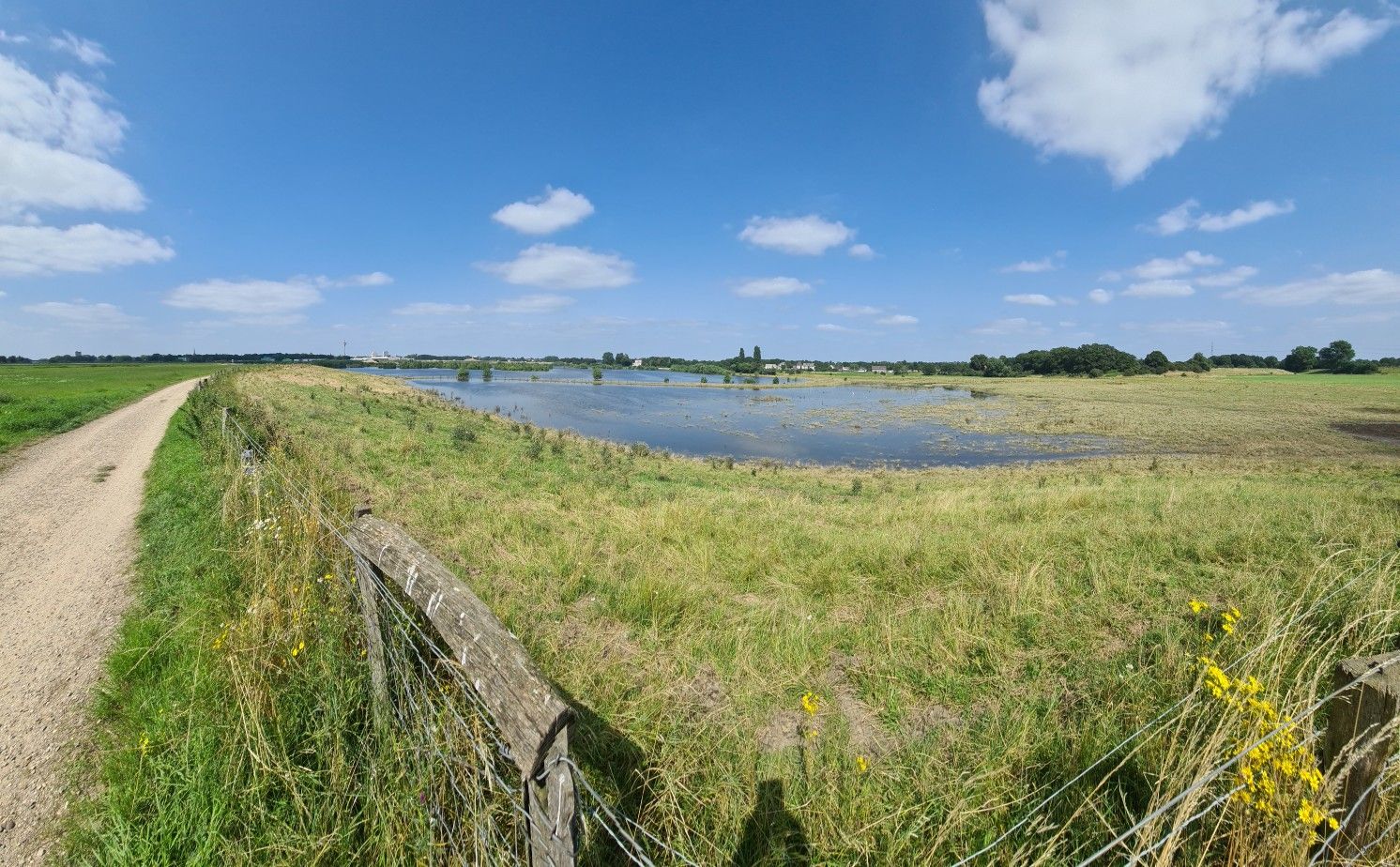
Bus station hiking trails around Grevenbroich traverse a landscape shaped by the Erft River, extensive forests, and open fields. The region features a network of paths alongside the river, through green meadows, and past historic mills. Unique recultivated lignite mining areas, such as Vollrather Höhe, also offer hiking opportunities. This blend of natural settings and historical points of interest defines the area's outdoor experience.
Best bus station hiking trails around Grevenbroich
- The most popular bus station hiking route is Erft…
Last updated: October 13, 2026
4.5
(44)
180
hikers
Easy hike. Great for any fitness level. Easily-accessible paths. Suitable for all skill levels.
4.5
(37)
113
hikers
Moderate hike. Good fitness required. Easily-accessible paths. Suitable for all skill levels.

4.5
(42)
133
hikers
Moderate hike. Good fitness required. Easily-accessible paths. Suitable for all skill levels.
4.4
(25)
71
hikers
Moderate hike. Good fitness required. Easily-accessible paths. Suitable for all skill levels.
4.6
(18)
68
hikers
11.2km
02:50
30m
20m
Moderate hike. Good fitness required. Easily-accessible paths. Suitable for all skill levels.
Get access to more routes and recommendations from other explorers.
Already have an account?
Our route recommendations are based on thousands of hikes, rides, and runs completed by other people on komoot.
Start today with a free account
Your next adventure awaits.


Tips from the Community

Out and about with inline skates! We can also recommend this place for that! High fun factor… Will come back, no question
0
0

On the city park island located on the banks of the Erft, also called "Erckens Insel"
2
0

Ideal opportunity to relax, lots of cycle paths and MTB trails. Also called the green lung of Grevenbroich, absolutely recommended.
1
0
Kottmann Mill, now in its fifth generation, offers flours and grits for industry and bakeries.
5
0
Great area… 👊 We recommend it!
1
0
Frequently Asked Questions
How many bus station hiking trails are available in Grevenbroich?
There are over 260 hiking trails around Grevenbroich that are easily accessible by bus. This extensive network offers a wide variety of options for all skill levels.
What kind of landscapes can I expect on bus-accessible hikes around Grevenbroich?
Grevenbroich's bus-accessible trails offer diverse landscapes, from the picturesque banks of the Erft River and its green meadows to extensive forests and open fields. You can also experience unique recultivated lignite mining areas, which blend industrial history with natural recovery.
Are there easy bus-accessible hiking trails in Grevenbroich?
Yes, a significant number of bus-accessible trails in Grevenbroich are rated as easy, with nearly 200 routes suitable for leisurely strolls. An example is the Erft River in Grevenbroich – Tributaries of the River Erft loop from Grevenbroich, which offers a pleasant walk along the river.
What do other hikers say about the bus station trails in Grevenbroich?
The bus-accessible trails in Grevenbroich are highly regarded by the komoot community, with an average rating of 4.5 out of 5 stars from over 3,900 reviews. Hikers often praise the well-maintained paths, the peaceful natural surroundings, and the convenience of public transport access.
Can I find trails that pass by historical sites or cultural attractions?
Absolutely. Many bus-accessible routes incorporate historical and cultural landmarks. For instance, the Hülchrath Castle – Langwaden Monastery loop from An der Schwarzen Brücke takes you past both the historic Rheydt Castle and the baroque Langwaden Monastery. Other highlights include Zons Old Town and Paffendorf Castle.
Are there any trails suitable for families with children?
Yes, many of the easier, shorter routes are perfect for families. The region's parks and the Wildfreigehege Bend (wildlife enclosure) offer engaging experiences for children. Look for trails that are relatively flat and pass through green spaces or offer opportunities for animal spotting.
Are bus-accessible trails in Grevenbroich dog-friendly?
Most trails in Grevenbroich are dog-friendly, especially those through forests and open fields. It's always recommended to keep dogs on a leash, particularly near wildlife enclosures or in agricultural areas. The extensive network of paths along the Erft River is generally well-suited for walks with your canine companion.
What are some notable natural features I might encounter on these hikes?
You'll frequently encounter the meandering Erft River, which is a central natural feature, often accompanied by lush meadows and historic mills. The recultivated lignite mining areas like Vollrather Höhe also offer unique landscapes. Additionally, you might discover natural monuments such as the Löss Hollow Way East of Nettesheim-Butzheim.
Are there any viewpoints or scenic spots along the bus-accessible trails?
While Grevenbroich is not known for dramatic mountain views, many trails offer charming scenic spots, especially along the Erft River and within the recultivated areas. The elevated sections of the former mining landscapes, such as Vollrather Höhe, can provide expansive views over the surrounding countryside.
What is the best time of year to go hiking from bus stations in Grevenbroich?
Spring and autumn are particularly pleasant for hiking in Grevenbroich, with mild temperatures and beautiful natural colors. Summer offers lush greenery, though some open field sections can be warm. Even in winter, many trails are accessible, especially those through forests, providing a peaceful experience.
Are there options for longer or more challenging bus-accessible hikes?
Yes, while many routes are easy, there are also over 60 moderate bus-accessible hikes for those seeking a bit more challenge or distance. An example is the Weir at Schwarze Brücke – Erft Floodplain Landscape loop from Hülchrath, which covers over 11 km.
Can I find places to eat or drink along the bus-accessible routes?
Many bus-accessible routes pass through or near villages and towns where you can find local eateries, cafes, or traditional German restaurants. The historical sites like Hülchrath Castle and Langwaden Monastery often have nearby establishments, making it convenient to combine your hike with a refreshment stop.
Most popular routes around Grevenbroich
Most popular attractions around Grevenbroich

Get inspired with the komoot mobile app


Explore more
Browse the best Hikes in other regions.
