The best family-friendly hikes and walks around Gummersbach
4.5
(3335)
12,360
hikers
412
hikes
Family friendly hiking trails around Gummersbach traverse a landscape characterized by rolling hills, dense forests, and picturesque valleys within Germany's Bergisches Land. The region features several significant reservoirs, including the Aggertalsperre, Bever Dam, and Brucher Reservoir, which are central to many routes. Hikers can explore varied terrain, from gentle paths along water bodies to ascents through wooded hills.
Best family friendly hiking trails around Gummersbach
- The most popular family friendly hiking route is Energy Trail, a 7.5 miles (12.0 km) trail that takes 3 hours 20 minutes to complete. This moderate route explores both natural beauty and insights into energy production.
- Another top favourite among local hikers is Unnenberg peak and the Aggertalsperre dam, a moderate 9.6 miles (15.4 km) path. This route offers expansive views from Unnenberg peak and follows along the Aggertalsperre dam.
- Local hikers also love the Spitze Peninsula – Circular route around the Aggertalsperre dam loop from Bredenbruch, a 4.2 miles (6.7 km) trail leading through the scenic area around the Aggertalsperre dam, often completed in about 1 hour 46 minutes.
- Hiking around Gummersbach is defined by rolling hills, dense forests, and numerous reservoirs, offering a diverse network of routes. The trails provide options for various ability levels, from leisurely strolls to more challenging ascents.
- The routes in Gummersbach are highly rated by the komoot community with an average score of 4.5 stars from over 3,100 reviews. More than 12,900 hikers have used komoot to explore Gummersbach's varied terrain.
Last updated: July 10, 2026
4.7
(227)
816
hikers
12.0km
03:20
210m
210m
Hike the moderate 7.5-mile Energy trail (Ramble #10) in Bergisches Land Nature Park, exploring natural beauty and energy production insights
4.7
(518)
1,545
hikers
14.7km
03:58
190m
190m
Moderate hike. Good fitness required. Easily-accessible paths. Suitable for all skill levels.

Sign up for free
4.4
(21)
57
hikers
Moderate hike. Good fitness required. Easily-accessible paths. Suitable for all skill levels.
4.5
(424)
1,275
hikers
Easy hike. Great for any fitness level. Easily-accessible paths. Suitable for all skill levels.
4.3
(145)
527
hikers
Moderate hike. Good fitness required. Easily-accessible paths. Suitable for all skill levels.
Get access to more routes and recommendations from other explorers.
Sign up for free
Already have an account?
Our route recommendations are based on thousands of hikes, rides, and runs completed by other people on komoot.
Start today with a free account
Your next adventure awaits.
Login or Signup
Popular around Gummersbach
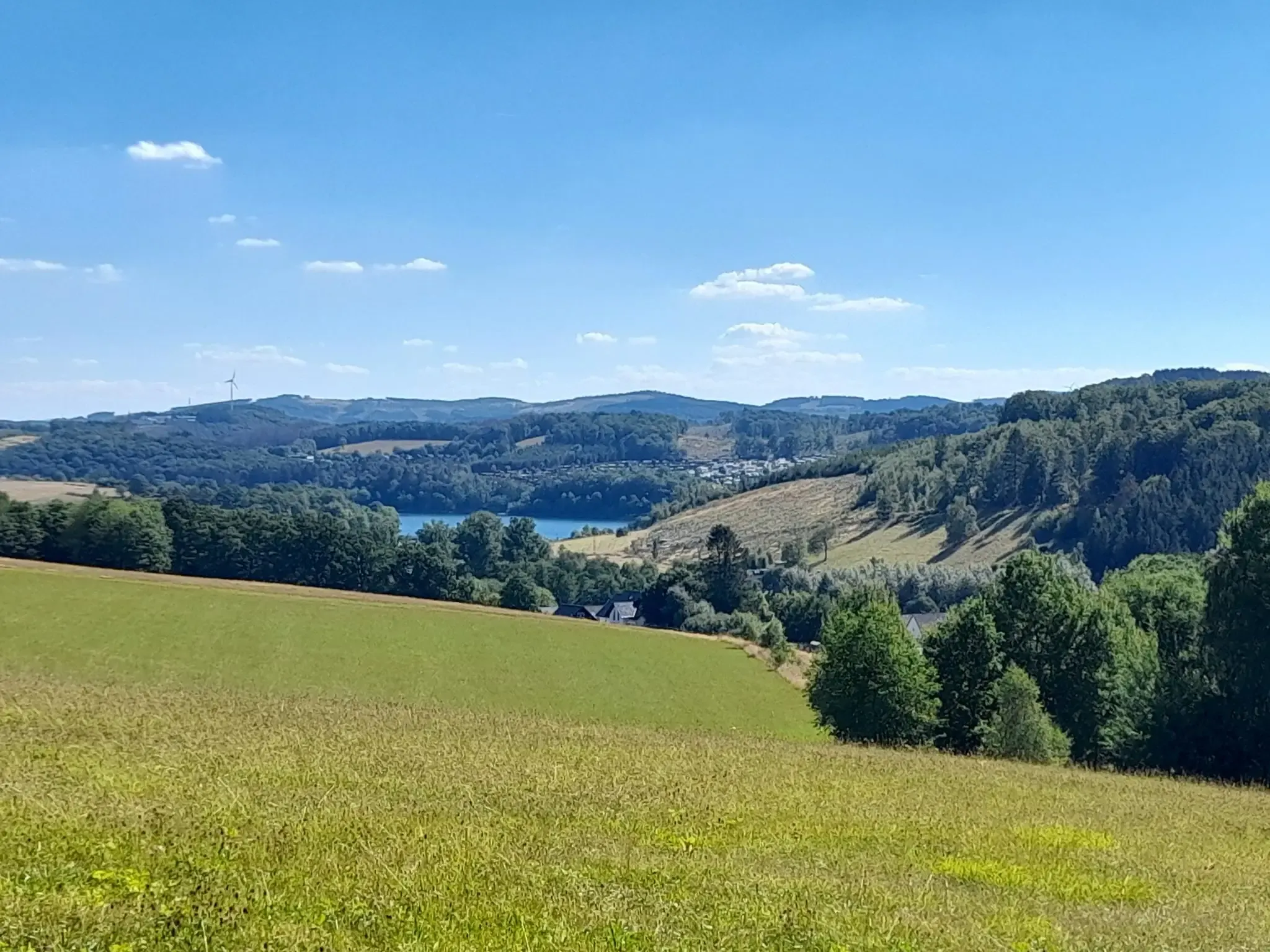
The big D: forest paths and water views in southern Sauerland
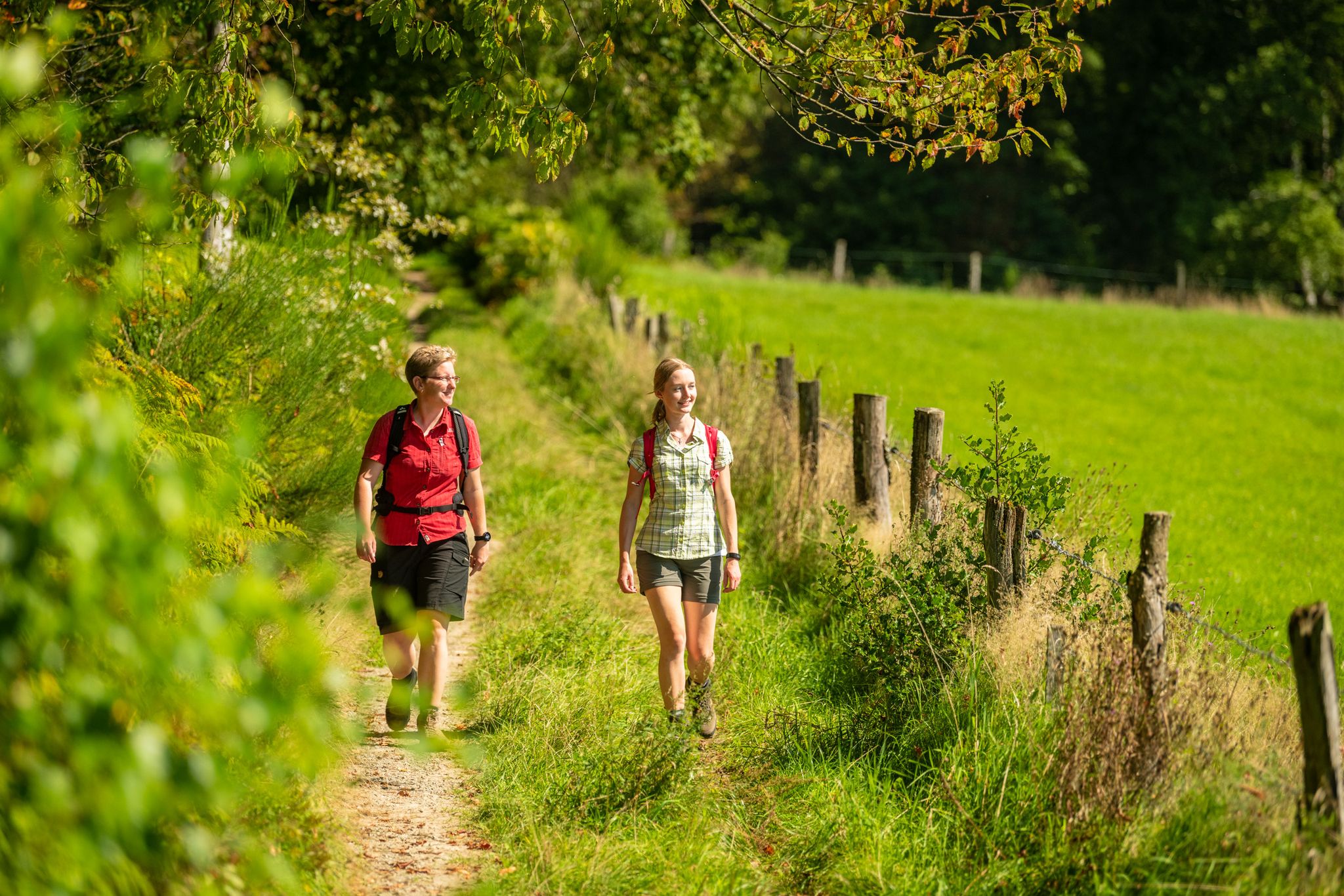
Bergische Rambles – themed and adventure trails in the Bergisches Land region

Hike and indulge in regional delights in Bergisches Land
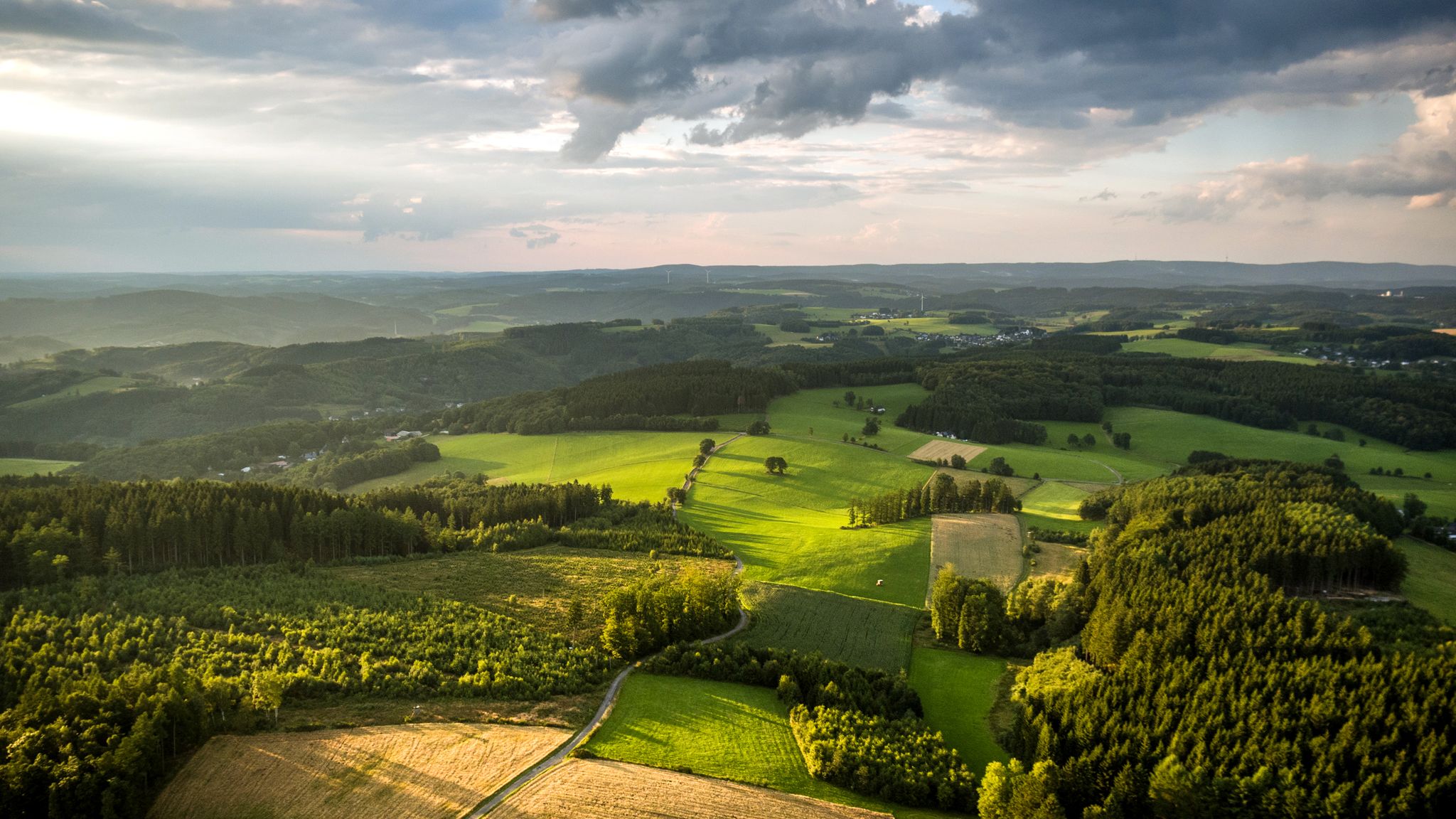
Panoramic adventures — explore Germany’s Bergisches Land

River dams in Germany’s Bergisches Land
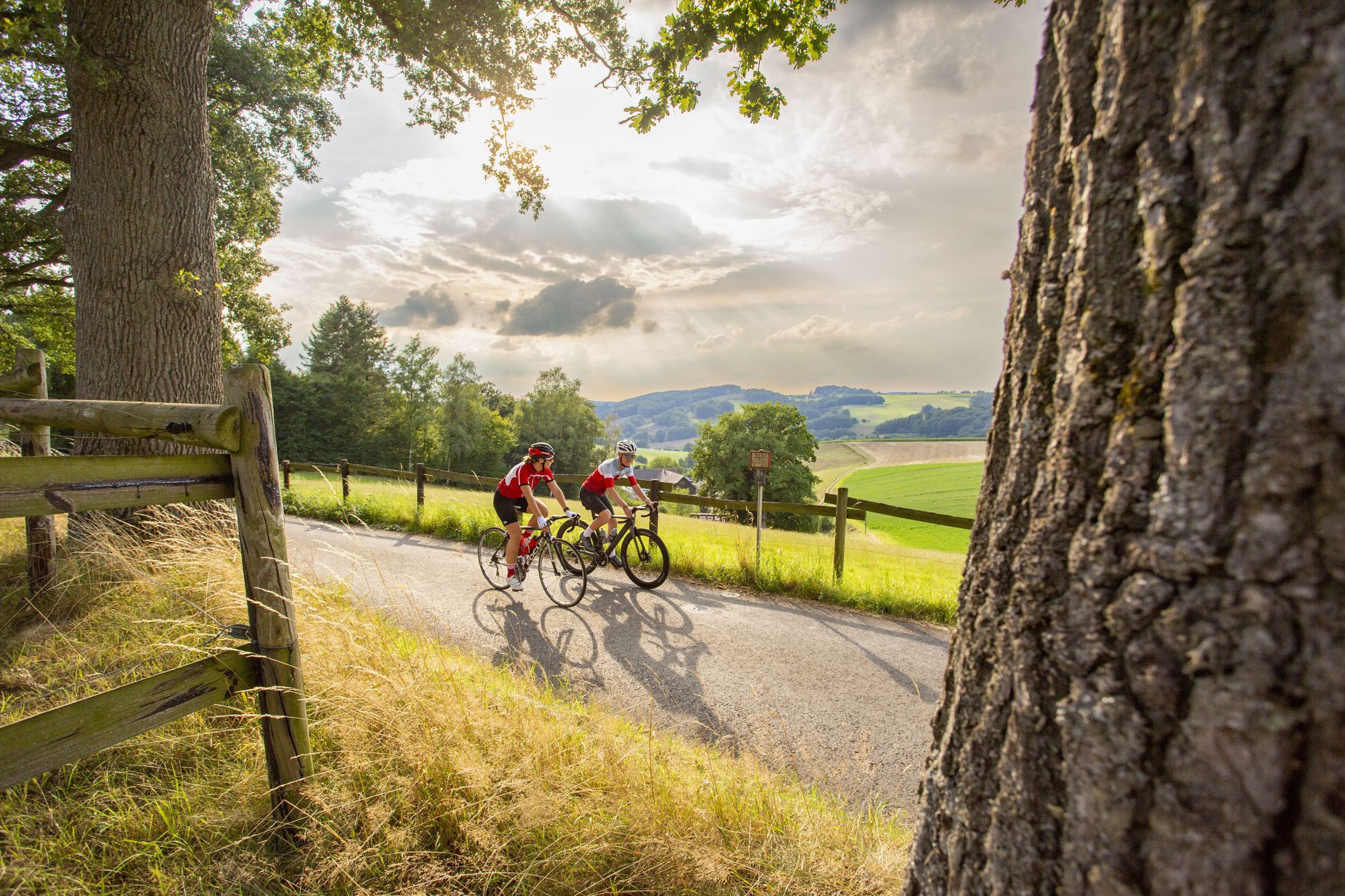
Road bike Tours in the Bergisches Land – endless hills and forests
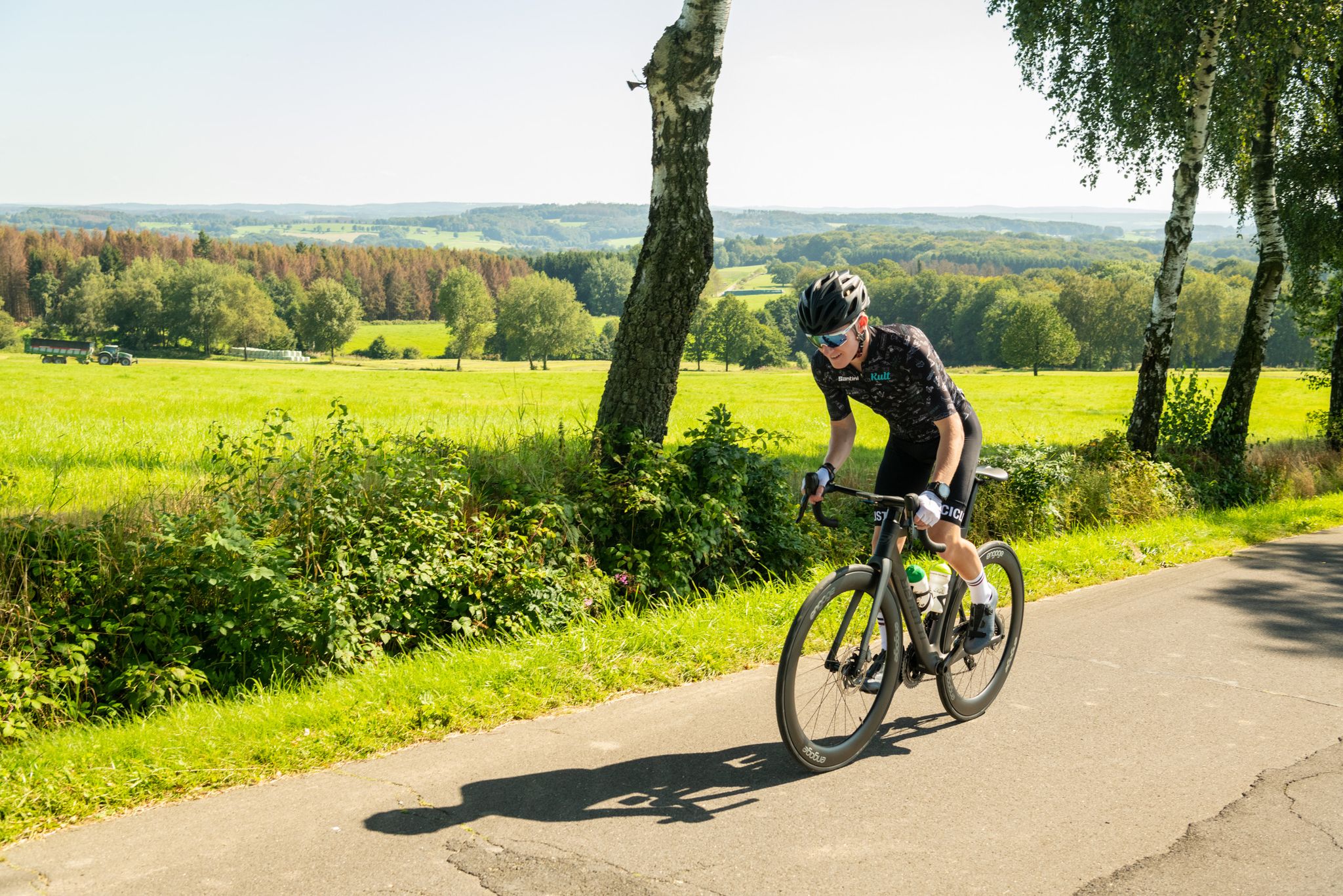
On the trails of Rund um Köln – road cycling routes in the Bergisches Land
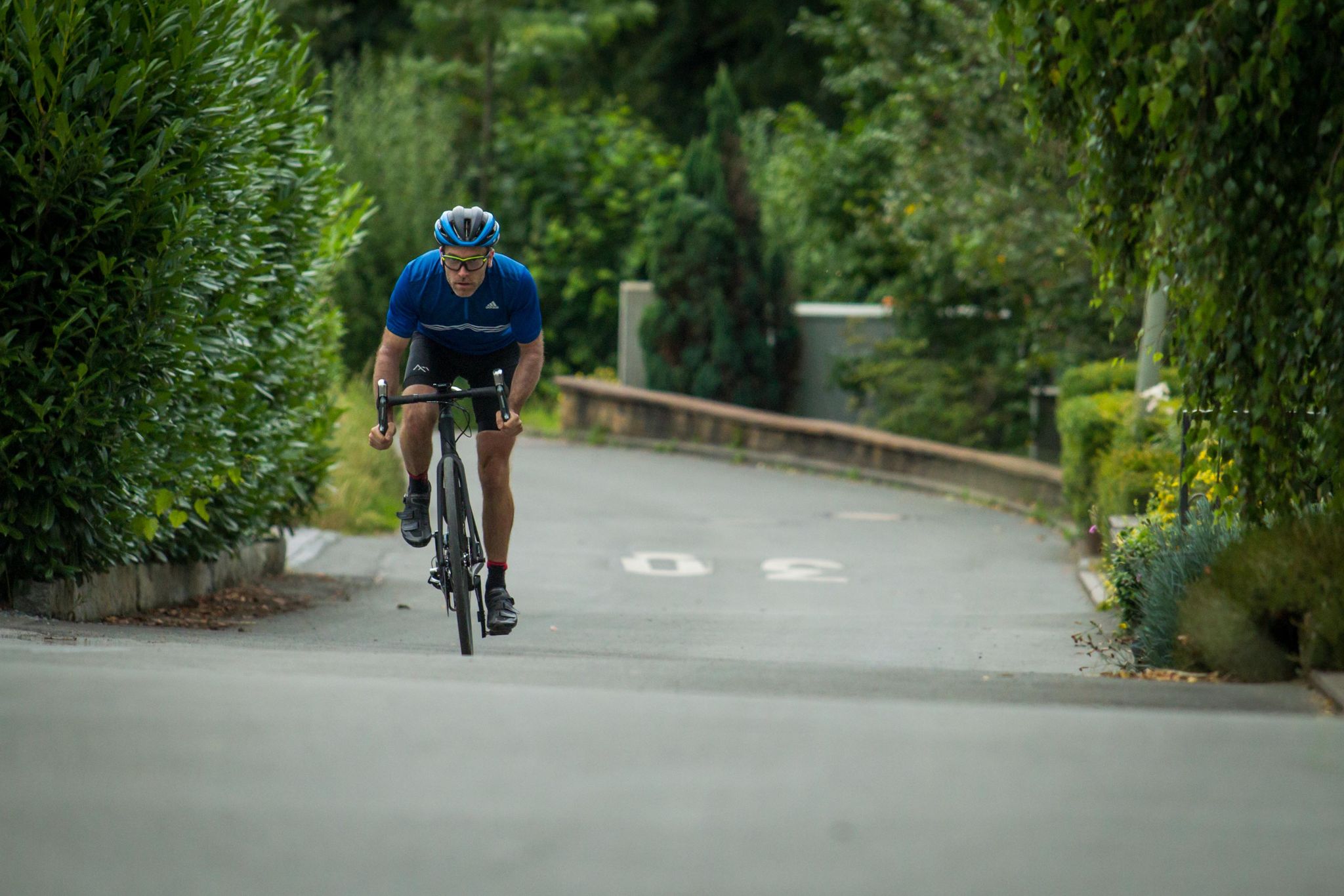
Who needs the Alps? 8 great climbs around Germany
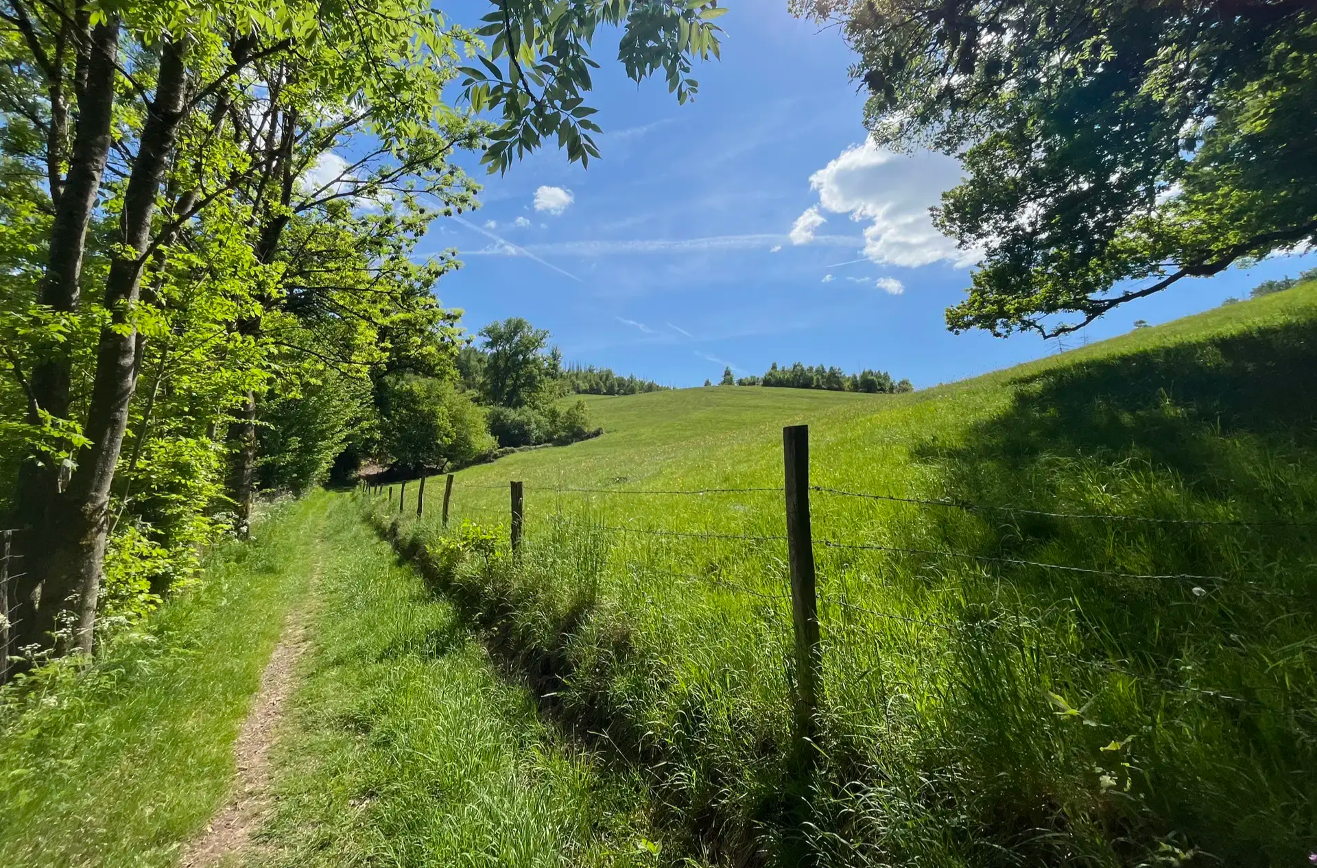
Wasser, Wald und Weitblick – Aktivtouren im Bergischen Land
Other adventures around Gummersbach


Tips from the Community

The Rengse Dam is part of the Aggertal Reservoir. It was built between 1927 and 1929 and continues to fulfill important functions in water management. From the bench, there is a fantastic view across the elongated reservoir with its wooded shoreline.
1
0

The map and description show the peninsula of the Aggertalsperre, not the Genkel. The Genkeltalsperre is next door.
0
0

The path from the top of the Inselweg towards Bredenbruch doesn't provide a satisfactory view of the foreshore dam due to the bushes and trees. However, this was possible with the drone.
0
0
From the island path a beautiful view of Lantenbach, the campsite and the jetty, photographed with the drone
0
0
Magnificent view of the dam
0
0

Beautiful view from almost 350 m above sea level.
0
0

Currently looking at the not yet completely finished artwork on the dam wall
1
0
Frequently Asked Questions
How many family-friendly hiking trails are available around Gummersbach?
Gummersbach offers a wide selection of family-friendly hiking trails. You'll find over 280 easy routes, perfect for outings with children, and more than 130 moderate trails for families seeking a bit more adventure. In total, there are over 400 hiking routes to explore in the region.
What kind of natural features can we expect to see on family hikes in Gummersbach?
The Gummersbach region is rich in natural beauty, featuring rolling hills, dense forests, and picturesque valleys. Many family-friendly trails lead along significant reservoirs like the Aggertalsperre, Bever Dam, and Brucher Reservoir. You might also encounter the Dümmer River, which flows through the town, offering pleasant waterside paths.
Are there any easy circular routes suitable for families with younger children?
Yes, there are several easy circular routes ideal for families. For instance, the Spitze Peninsula – Circular route around the Aggertalsperre dam loop from Bredenbruch is an easy 6.7 km loop that takes just under 2 hours, offering lovely views of the water.
What are some popular viewpoints or landmarks to visit on a family hike?
Families can enjoy several scenic spots. The Unnenberg Peak offers expansive panoramic views of the Bergisches Land. Another popular spot is the "Kaiser Wilhelm" Vantage Point, providing breathtaking views over Gummersbach and the surrounding mountains, accessible via a well-paved path. You can also explore highlights like the Genkel Reservoir or the Lister Dam.
Are there any family-friendly trails that explore the region's history or unique aspects?
Certainly! The Energy Trail is a moderate 12 km route that not only showcases natural beauty but also provides insights into energy production, making it an engaging experience for curious minds. The Brucher Reservoir Circular Route also passes through former Grauwacke quarries, adding a historical touch.
What is the best time of year for family hiking in Gummersbach?
The best seasons for family hiking in Gummersbach are generally spring and autumn. In spring, nature is in full bloom, offering vibrant colors and fresh air. Autumn transforms the landscape with colorful foliage, creating a beautiful backdrop for your adventures.
Can we bring our dog on the family hiking trails?
Many trails in the Gummersbach region are dog-friendly, allowing your furry family members to join the adventure. It's always a good idea to keep dogs on a leash, especially in nature reserves or near wildlife, and to check specific trail regulations if you have concerns.
Are there any trails that offer views of the Aggertalsperre dam?
Yes, the Aggertalsperre dam is a prominent feature in the region. The Unnenberg peak and the Aggertalsperre dam route offers extensive views of the dam. Another option is the Circular route around the Aggertalsperre dam loop from Lantenbach, which is an 8 km moderate hike directly around the reservoir.
What do other hikers say about the family-friendly trails in Gummersbach?
The hiking routes in Gummersbach are highly regarded by the komoot community, with an impressive average rating of 4.5 stars from thousands of reviews. Hikers often praise the diverse landscapes, well-maintained paths, and the beautiful reservoir views, making it a favorite for outdoor enthusiasts and families alike.
Are there any castles or historical sites near the hiking routes?
While hiking, you might discover historical sites. The region features beautiful castles such as Eibach Castle Ruins and Ehreshoven Castle, which can be interesting stops or points of interest along your family's journey.
Are there any trails suitable for strollers or very young children?
For families with strollers or very young children, look for trails described as 'easy' and 'well-paved'. The path leading to the "Kaiser Wilhelm" Vantage Point is known for being undemanding and suitable for various hikers, including those with strollers. Many paths along the reservoirs also offer relatively flat and accessible terrain.
Most popular routes around Gummersbach
Most popular attractions around Gummersbach

Get inspired with the komoot mobile app


Explore more
Browse the best Hikes in other regions.
