The best hikes from bus stations around Bruchsal
4.6
(1955)
8,536
hikers
163
hikes
Bus station hiking trails around Bruchsal offer access to a diverse landscape at the transition between the Rhine Rift Valley and the hilly Kraichgau region. The area is characterized by a mix of forests, open meadows, and vineyards, with numerous hills and distinctive hollow ways. Notable natural features include Michaelsberg, providing panoramic views, and the Hardtwald forest, known for its biodiversity. Several nature reserves, such as Ungeheuerklamm, also contribute to the varied terrain.
Best bus station hiking trails around Bruchsal
- The most popular bus station hiking route is Ungeheuerklamm Nature Reserve – Ungeheuer Gorge loop from Obergrombach, a 5.3 miles (8.5 km) trail that takes 2 hours 26 minutes to complete. This moderate route explores the natural reserve, featuring varied forest paths and gorge sections.
- Another top favourite among local hikers is View over Untergrombach – Great hollow paths loop from Ungeheuerklamm, an easy 3.5 miles (5.7 km) path. This trail includes characteristic hollow ways and offers views over the surrounding landscape.
- Local hikers also love the View of fields and forest edge – Obergrombach Old Town loop from Obergrombach, a 7.6 miles (12.3 km) trail leading through fields and forest edges, often completed in about 3 hours 28 minutes.
- Hiking around Bruchsal is defined by the rolling hills of the Kraichgau, scenic vineyards, and ancient hollow ways. The network offers options for various ability levels, from easy strolls to moderate ascents.
- The routes in Bruchsal are highly rated by the komoot community with an average score of 4.6 stars from more than 1,700 reviews. More than 8,000 hikers have used komoot to explore Bruchsal's varied terrain.
Last updated: August 20, 2026
4.5
(62)
240
hikers
8.81km
02:31
210m
210m
Moderate hike. Good fitness required. Easily-accessible paths. Suitable for all skill levels.
4.9
(13)
60
hikers
Moderate hike. Good fitness required. Easily-accessible paths. Suitable for all skill levels.

Sign up for free
4.9
(12)
43
hikers
7.70km
02:07
130m
130m
Moderate hike. Good fitness required. Easily-accessible paths. Suitable for all skill levels.
4.6
(17)
44
hikers
7.99km
02:09
110m
110m
Moderate hike. Good fitness required. Easily-accessible paths. Suitable for all skill levels.
4.4
(7)
23
hikers
6.22km
01:45
130m
130m
Easy hike. Great for any fitness level. Easily-accessible paths. Suitable for all skill levels.
Get access to more routes and recommendations from other explorers.
Sign up for free
Already have an account?
Our route recommendations are based on thousands of hikes, rides, and runs completed by other people on komoot.
Start today with a free account
Your next adventure awaits.
Login or Signup
Popular around Bruchsal

Spring in the land of 1,000 hills – Kraichgau-Stromberg in Germany
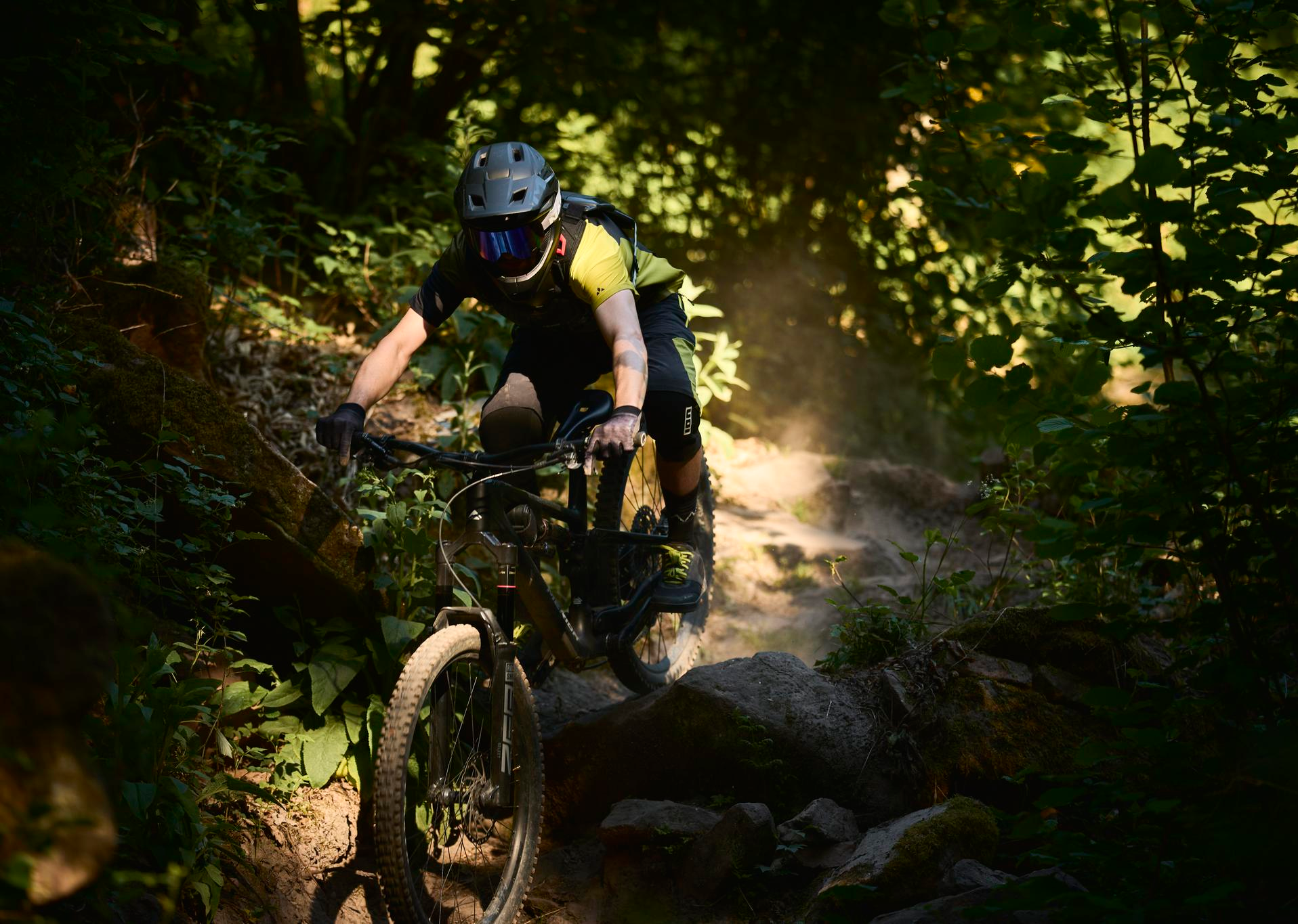
MTB, gravel and bikepacking in the Süden ganz oben
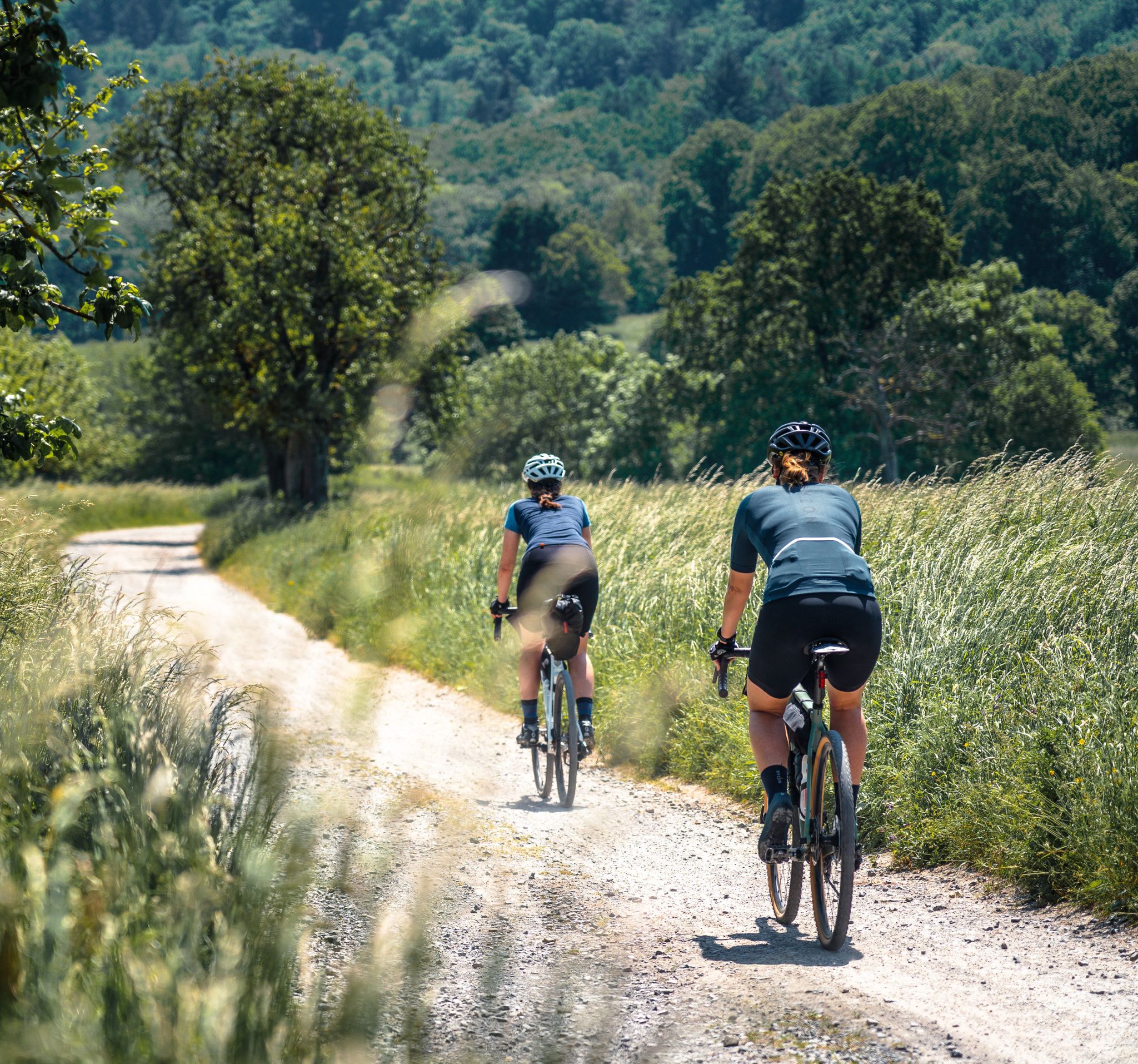
Gravel pleasure in the land of 1,000 hills
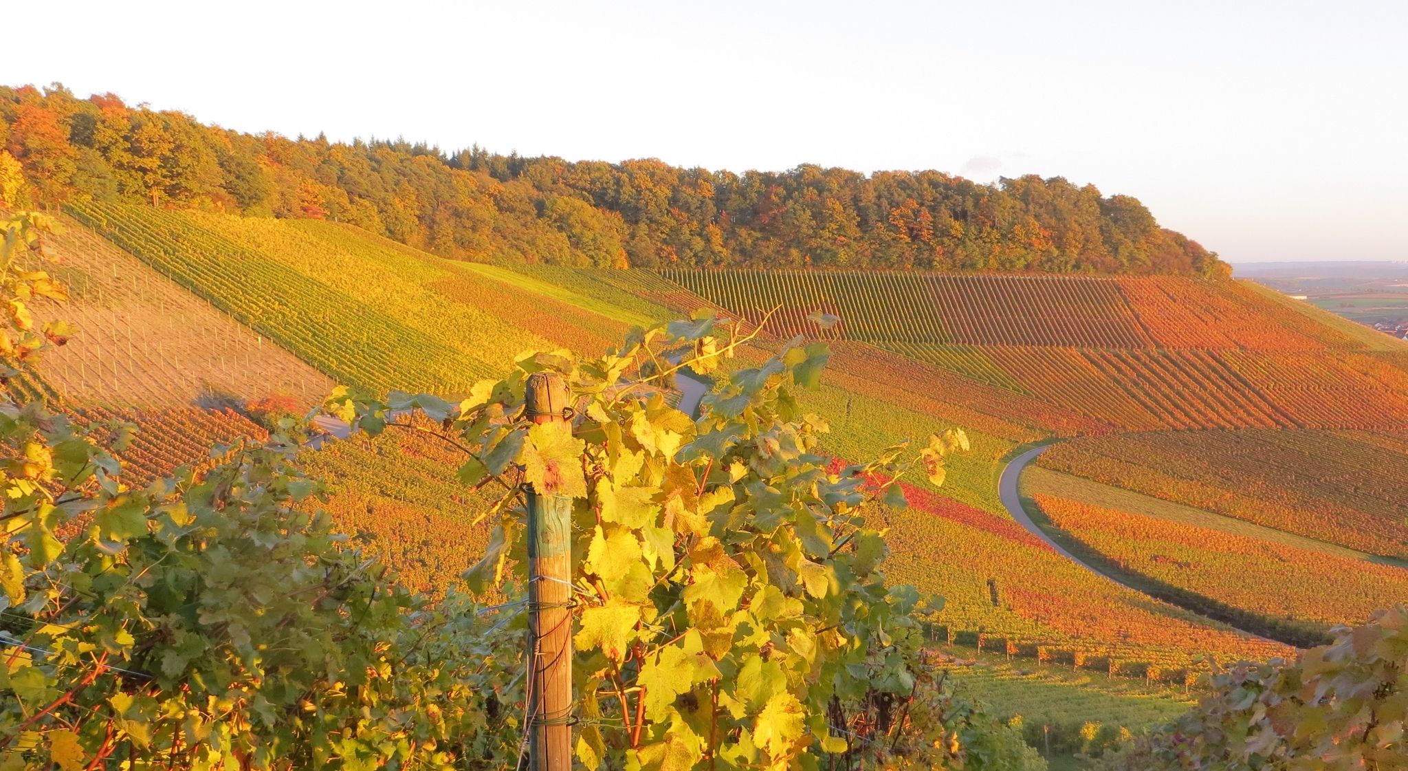
ADFC Wiesloch/Walldorf: Beautiful day tours in Kraichgau, the 'Land of 1000 hills'
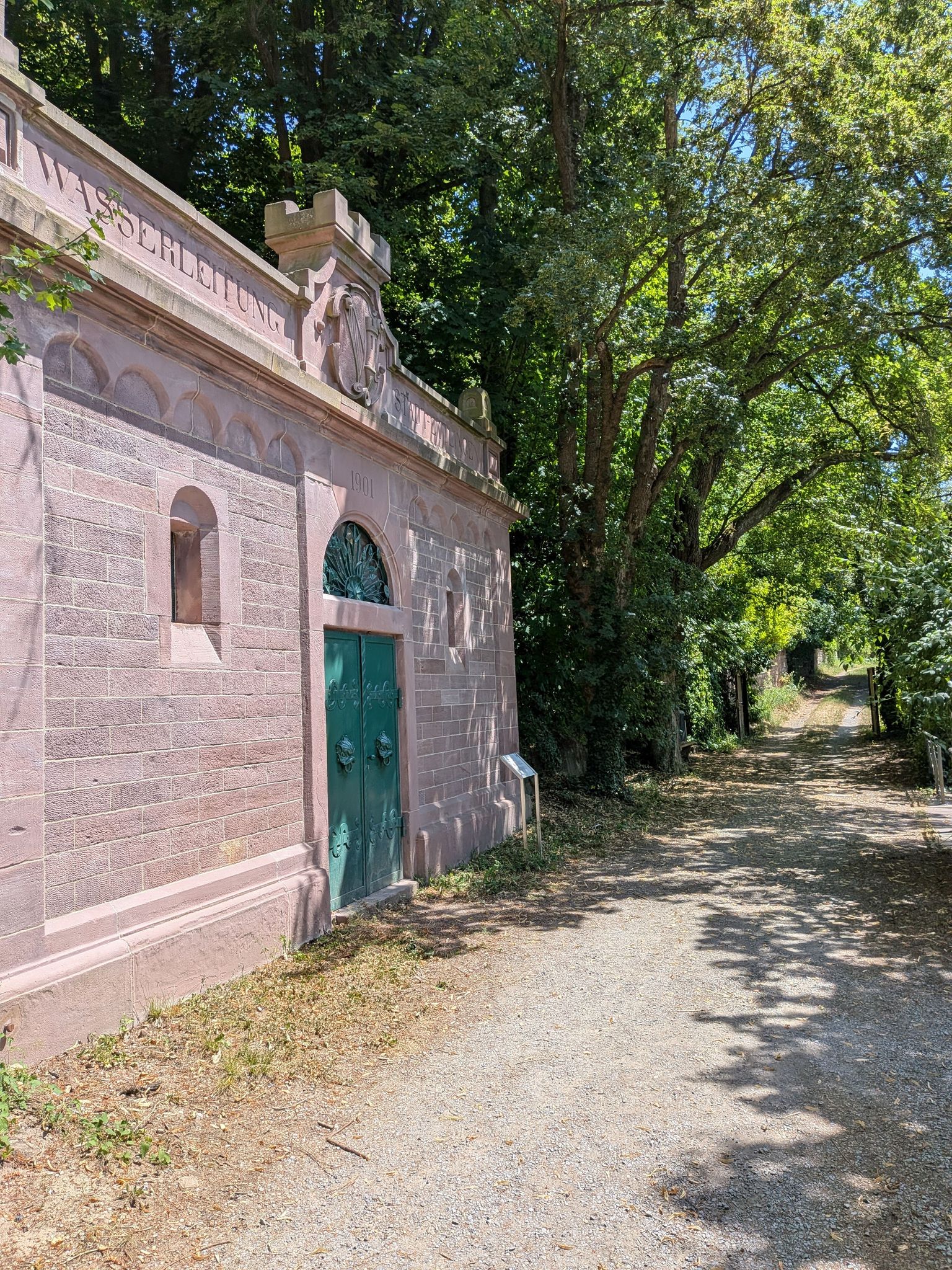
Zeitzeugen am Wegesrand – auf den Spuren der Kleindenkmale im Landkreis Karlsruhe

Zu Fuß durchs Land der 1000 Hügel
Auf die Pässe, fertig, los!
Tritt für Tritt durchs Land der 1000 Hügel
Other adventures around Bruchsal


Tips from the Community

The Ungeheuerklamm is a 15-meter deep, approximately 1,500-meter long nature reserve between Bruchsal and Weingarten. It is considered the largest erosion gorge in the region, is known for its more than 40 rare moss species, and requires sturdy footwear due to the partly slippery paths.
6
0
Small wooden bridge over the comparatively deep gorge. Beautiful view into the gorge from the wooden bridge.
6
0
Beautiful view from the edge of the forest over the hilly landscape of Kraichgau.
6
0
Here you have wonderful views over the Kraichgau, the land of 1000 hills, but also into the distance towards the Odenwald in the north, the Stromberg in the south, and the Northern Black Forest in the southwest.
1
0

Beautiful at sunset too! 🌄
0
0

Great castle, unfortunately privately owned and not accessible
0
0
You should simply stop for a few minutes and admire the details of the facade. You'll find both Jewish and Christian details on the house.
0
0

Unfortunately closed due to renovation
0
0
Frequently Asked Questions
How many bus-accessible hiking trails are available around Bruchsal?
There are over 160 bus-accessible hiking trails around Bruchsal, ranging from easy strolls to more challenging routes. This extensive network allows you to explore the diverse landscapes of the Rhine Rift Valley and the Kraichgau region without needing a car.
What makes hiking from bus stations in Bruchsal unique?
Hiking from bus stations in Bruchsal offers a unique opportunity to explore the region's varied topography, including the 'land of a thousand hills' in Kraichgau, picturesque vineyards, and distinctive 'hollow ways' (Hohlwege). These trails often provide panoramic views and connect you directly to natural landmarks and charming villages, all while utilizing convenient public transport.
Are there circular hiking routes accessible by bus in Bruchsal?
Yes, many of the bus-accessible trails around Bruchsal are circular, allowing you to start and end your hike at the same bus stop. This makes planning your trip straightforward and ensures you can fully immerse yourself in the scenery without worrying about return logistics.
What is the best time of year to enjoy bus-accessible hikes in Bruchsal?
The most favorable seasons for hiking around Bruchsal are generally spring and autumn. During these times, the weather is mild, and the natural surroundings are vibrant with color – spring brings blooming meadows, while autumn offers stunning foliage in the forests and vineyards. Winter also offers picturesque snowy hikes, especially in the Hardtwald forest.
Are there family-friendly hiking trails accessible by bus in Bruchsal?
Absolutely. Bruchsal offers many easy, family-friendly routes accessible by bus. For example, the idyllic quarry pond near Bruchsal features a circular trail of approximately 5 kilometers, perfect for leisurely walks with children. The Bürgerpark also provides ample footpaths and a playground.
Can I bring my dog on bus-accessible hiking trails in Bruchsal?
Yes, many trails around Bruchsal are suitable for dogs. While specific leash laws can vary by area, it's generally recommended to keep your dog on a leash, especially in nature reserves like Rotenberg or Ungeheuerklamm, and when passing through vineyards or near livestock. Always carry water for your pet and dispose of waste properly.
What kind of natural attractions can I expect to see on these bus-accessible routes?
The bus-accessible routes around Bruchsal lead to a variety of natural attractions. You can explore the unique 'hollow ways' (Hohlwege) characteristic of the Kraichgau, visit the serene Ungeheuerklamm Nature Reserve, or enjoy panoramic views from Michaelsberg. The region also features vineyards, forests like the Hardtwald, and charming orchard meadows.
Are there any viewpoints or scenic overlooks on bus-accessible hikes?
Yes, several bus-accessible hikes offer spectacular viewpoints. Michaelsberg is a prominent landmark providing extensive panoramic views over the Rhine Rift Valley, reaching as far as the Palatinate Mountains and the northern Black Forest. You can also find great views on routes like View over Untergrombach, which features great hollow paths.
What is the difficulty level of bus-accessible hikes in Bruchsal?
The bus-accessible hikes around Bruchsal cater to all levels. You'll find a wide range of trails, from easy, flat walks suitable for beginners and families, to moderate routes with some elevation changes that offer a bit more challenge. There are no difficult-rated trails in this selection, making them accessible for most hikers.
Are there any routes that feature the distinctive 'hollow ways' (Hohlwege) of the Kraichgau?
Yes, the distinctive 'hollow ways' (Hohlwege) are a characteristic feature of the Kraichgau region and can be experienced on several bus-accessible routes. For instance, the route View over Untergrombach – Great hollow paths loop from Ungeheuerklamm specifically highlights these unique geological formations, offering an enchanting hiking experience.
What do other hikers enjoy most about bus-accessible trails in Bruchsal?
The komoot community highly rates the bus-accessible trails around Bruchsal, with an average score of 4.6 stars. Reviewers often praise the diverse landscapes, the convenience of public transport access, and the well-maintained paths that lead through vineyards, forests, and charming villages. The panoramic views from spots like Michaelsberg are also frequently highlighted.
Most popular routes around Bruchsal
Most popular attractions around Bruchsal

Get inspired with the komoot mobile app


Explore more
Browse the best Hikes in other regions.
