The best hikes from bus stations in the Provence
4.5
(58807)
412,901
hikers
9,284
hikes
Bus station hiking trails in the Provence traverse a diverse landscape, from the dramatic limestone cliffs of the Calanques to the rolling hills of the Luberon and the vibrant ochre quarries. The region features deep gorges, such as the Gorges du Verdon, and coastal paths along the Mediterranean Sea. Hikers can explore a mix of terrain, including dense cedar forests, vineyards, and open scrubland.
Best bus station hiking trails in the Provence
- The most popular bus station hiking route is…
Last updated: October 13, 2026
4.8
(494)
2,531
hikers
11.4km
03:01
120m
120m
Moderate hike. Good fitness required. Easily-accessible paths. Suitable for all skill levels.
4.7
(442)
2,455
hikers
11.7km
03:37
210m
210m
Hike the Sentier du Littoral – La Tour Fondue, a difficult 7.2-mile route on the Giens Peninsula with stunning Mediterranean views and histo

4.8
(360)
2,034
hikers
9.17km
02:27
100m
100m
The Tour of Cap Ferrat Trail invites you to immerse yourself in the beauty of the French Riviera, winding along a peninsula where lush Mediterranean vegetation meets rocky cliffs and…
4.8
(287)
1,468
hikers
9.83km
03:17
410m
410m
Hike the moderate 6.1-mile Cap Roux Loop Trail for stunning red rock formations, Mediterranean views, and panoramic vistas from the summit.
4.8
(161)
1,992
hikers
9.09km
04:27
610m
610m
Hard hike. Good fitness required. Sure-footedness, sturdy shoes and alpine experience required.
Get access to more routes and recommendations from other explorers.
Already have an account?
Our route recommendations are based on thousands of hikes, rides, and runs completed by other people on komoot.
Start today with a free account
Your next adventure awaits.
Popular around Provence

Hikes from bus stations in Provence-Alpes-Côte d'Azur
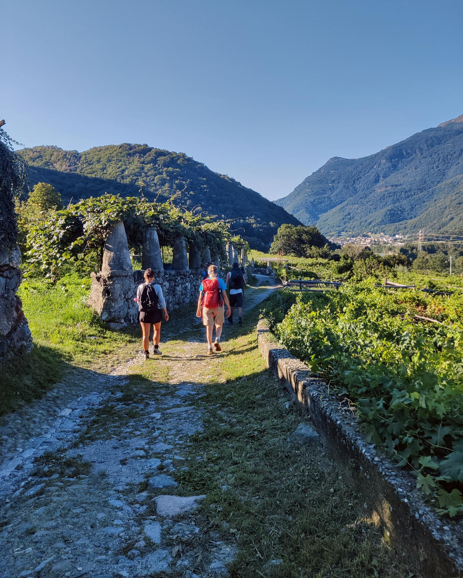
Piemont's Via Francigena
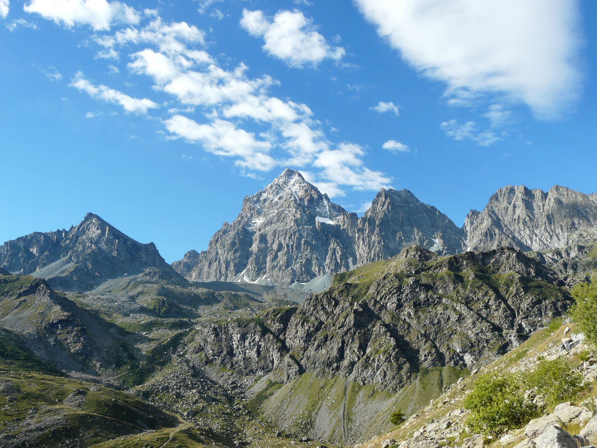
Tour di Viso – Four days around the Stone King from Castello
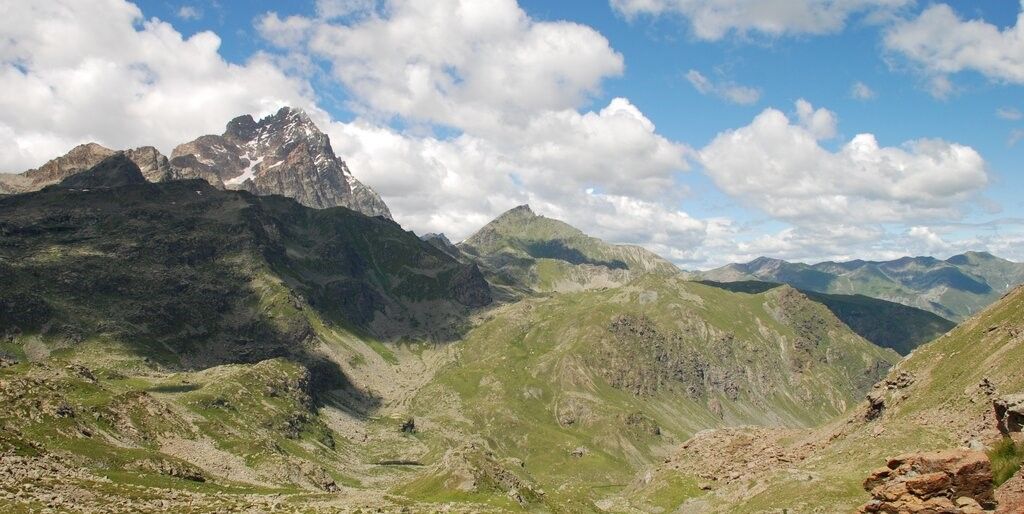
Tour di Viso – Four days around the Stone King from Meire Dacant
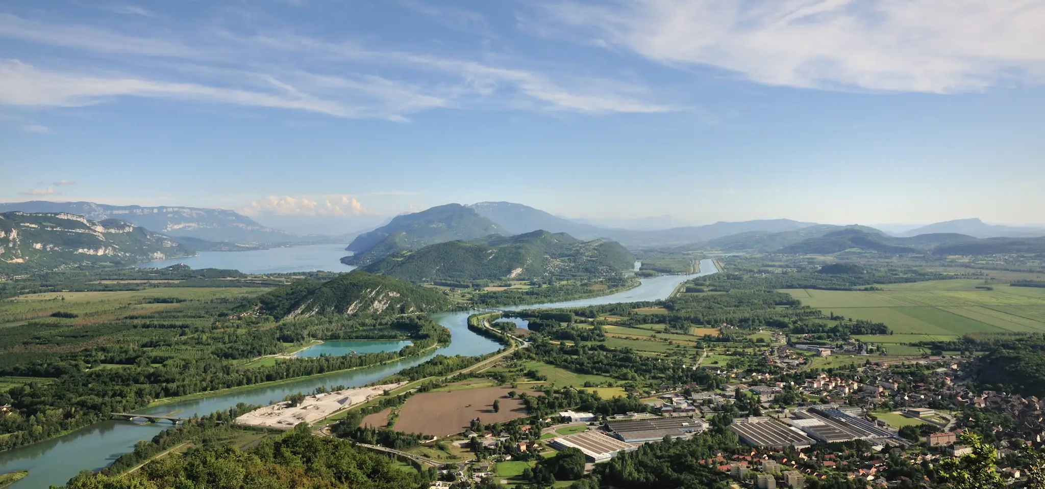
GR 9 from the Jura to the Mediterranean – Crossing contrasts

GR 5 – The Europe Trail from the Mediterranean to Germany
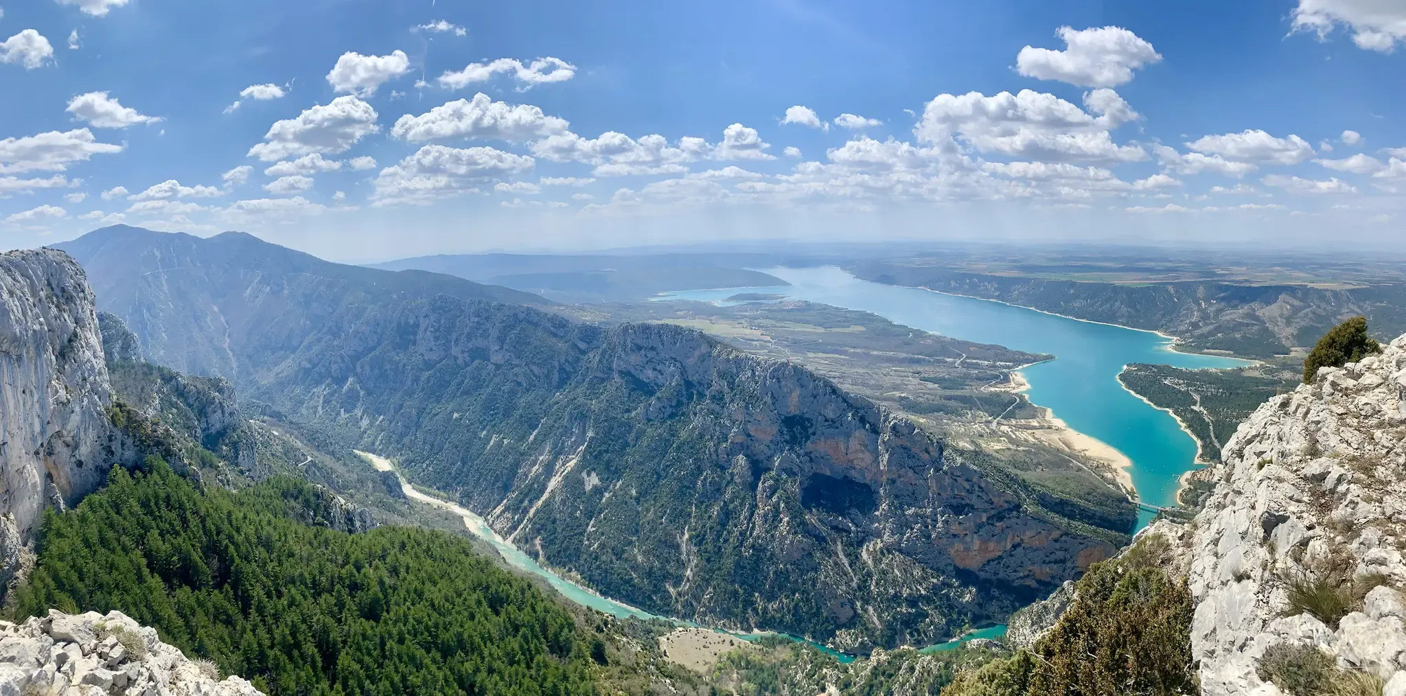
GR 4 – Crossing the south of France from Atlantic Coast to Provence
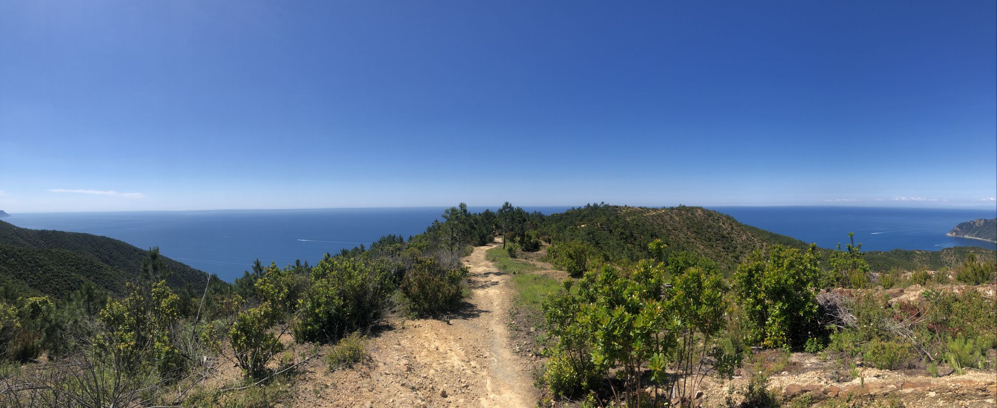
Via della Costa – A breathtaking hike along the Italian Riviera
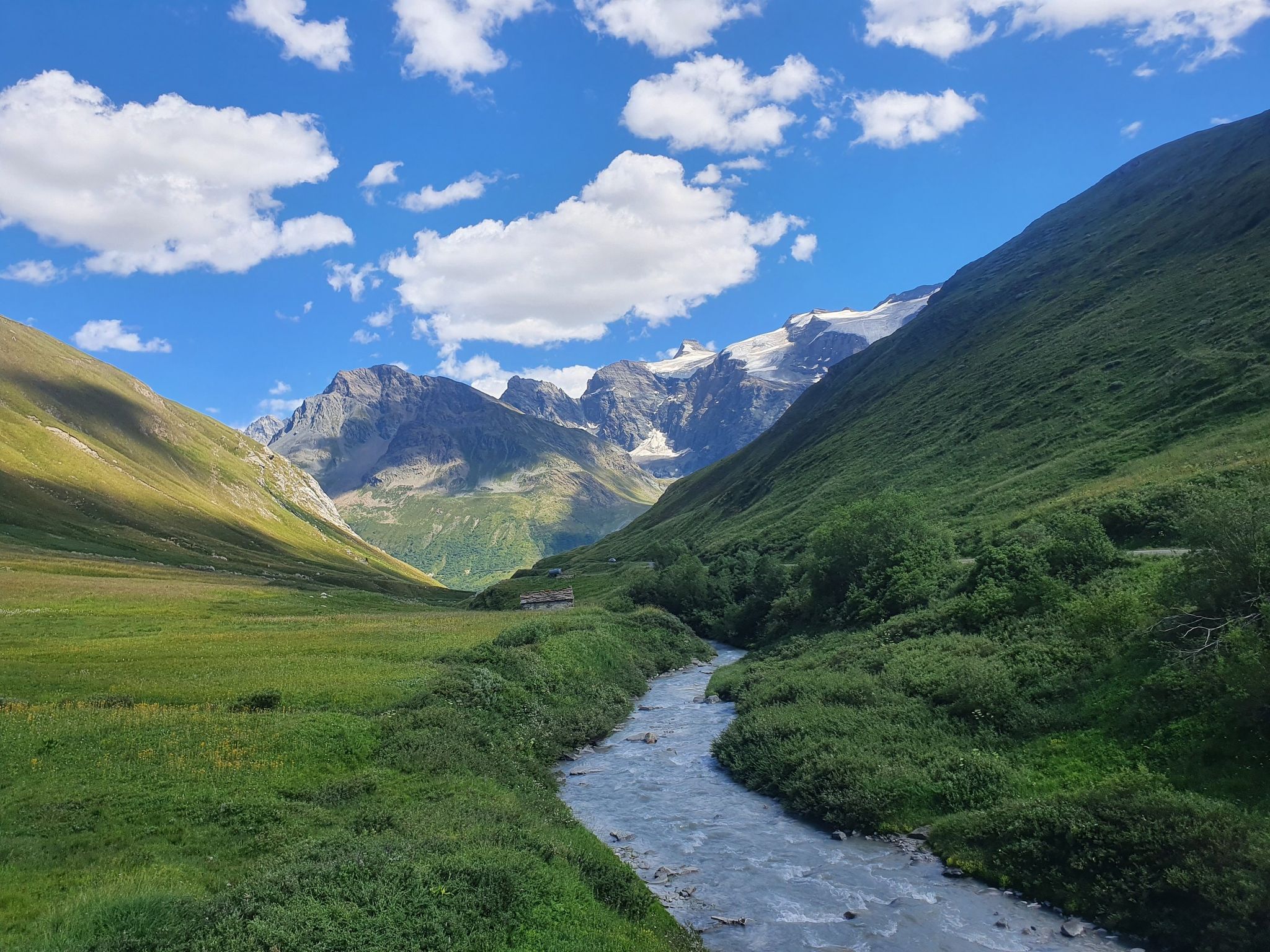
Europe Trail (GR 5) – Hike from Briançon to Landry

Europe Trail (GR 5) – Hike from Nice to Saint-Étienne-de-Tinée
Other adventures in the Provence


Tips from the Community

A delight to pass by the white water river.
1
0

The omelettes are very good, a can of coke is 5 euros
0
0

Indeed, there are many beautiful landscapes in the region and beautiful hikes also on the Esterel or the Mercantour 👍👍
0
0

I was able to discover this magnificent place but be careful on the descents and especially do not go alone. For film fans, these are the steps of The Count of Monte Cristo....
0
0

Incredible view
1
0
It's truly magnificent. I go there every year and I never tire of the view that I captured on my phone.
0
0

Stunning views of the Mediterranean in the heart of the Esterel massif
1
0
Magnificent hike offered in the heart of the Esterel
1
1
Frequently Asked Questions
How many bus station hiking trails are available in Provence?
Komoot offers nearly 9,000 hiking routes accessible from bus stations across Provence. This vast network ensures a wide variety of trails, from gentle coastal walks to challenging mountain ascents, all reachable via public transport.
What do other hikers enjoy most about bus station hikes in Provence?
The komoot community highly rates hiking in Provence, with an average score of 4.5 stars from over 45,000 reviews. Hikers frequently praise the region's stunning and diverse landscapes, the convenience of public transport access, and the well-maintained trails that lead to breathtaking views and charming villages.
Are there any family-friendly bus station hikes in Provence?
Yes, Provence offers many family-friendly options. Look for trails with 'easy' or 'moderate' difficulty ratings. Many routes through the Luberon or near the ochre landscapes of the Provençal Colorado of Rustrel are suitable for families, often featuring gentle inclines and interesting sights to keep younger hikers engaged.
Can I bring my dog on bus station hiking trails in Provence?
Many trails in Provence are dog-friendly, but regulations can vary, especially within national parks like the Calanques. It's always best to check local signage or park rules before you go. Generally, trails outside protected areas are more accommodating, but always keep your dog on a leash and be mindful of other hikers and wildlife.
What kind of natural features can I expect to see on these trails?
Provence's bus-accessible trails offer an incredible array of natural beauty. You can explore dramatic limestone cliffs and turquoise waters in the Calanques, vibrant ochre quarries, fragrant lavender fields, dense cedar forests, and even the towering Mont Ventoux summit. Coastal paths like the Tour of Cap Ferrat provide stunning sea views.
Are there any challenging bus station hikes for experienced hikers?
Absolutely. For experienced hikers, routes like the Sentier du Littoral – La Tour Fondue or the Refuge du Glacier Blanc offer significant elevation gains and rugged terrain. The Gorges du Verdon also provides challenging trails like the Sentier Martel, though specific bus access points should be verified for these more remote areas.
What are some scenic viewpoints accessible by bus in Provence?
Provence is renowned for its panoramic views. Many bus-accessible trails lead to spectacular vistas, such as those overlooking the Calanques, including the View of the Port Miou calanque. The Alpilles Mountains and the Dentelles de Montmirail also offer incredible viewpoints over vineyards and rolling hills, often reachable from nearby villages with bus connections.
Are there circular bus station hikes available?
Yes, many bus-accessible routes in Provence are designed as circular trails, allowing you to start and end at the same bus stop. The Cap Roux Loop Trail is a great example, offering a moderate challenge and beautiful coastal scenery without needing to arrange a return journey from a different point.
What is the best time of year to hike from bus stations in Provence?
The Mediterranean climate makes Provence enjoyable for hiking for much of the year. Spring (April-May) and autumn (September-October) are ideal, offering pleasant temperatures, fewer crowds, and vibrant landscapes. Summer can be hot, especially inland, so early morning hikes are recommended. Winter offers cooler, crisp days, though some higher elevation trails might be less accessible.
What kind of landmarks or attractions can I find along bus-accessible trails?
Beyond natural beauty, Provence's trails often lead through or near charming villages and historical sites. You might encounter medieval hilltop villages like Gordes or Roussillon, ancient Roman ruins, or picturesque coastal towns like Cassis. Specific natural landmarks include the stunning Port-Pin Beach and En-Vau Beach within the Calanques.
Are there easy bus station hikes suitable for beginners?
Certainly. Provence has numerous easy trails perfect for beginners or those seeking a relaxed stroll. These often feature relatively flat terrain and well-marked paths, such as those found in the gentler parts of the Luberon or around the ochre trails of Roussillon. These routes provide a great introduction to the region's beauty without demanding high fitness levels.
Most popular routes in the Provence
Most popular attractions in the Provence

Get inspired with the komoot mobile app


Didn’t find what you were looking for?
Check out more Hikes throughout Provence below and find the perfect route in your destination.
