The best hikes from bus stations in Schwandorf
4.6
(12411)
52,307
hikers
1,732
hikes
Bus station hiking trails in Schwandorf traverse a diverse landscape characterized by picturesque forests, rolling hills, and a network of lakes and rivers. The region, situated between the Naab and Regen rivers and near the Upper Palatinate Forest Nature Park, offers varied terrain for outdoor activities. Hikers can explore dense woodlands, discover numerous small lakes like Lake Steinberg and Lake Eixendorf, and follow paths along scenic river valleys. The area features gentle hills and varied elevations, providing routes for different…
Last updated: July 10, 2026
4.5
(35)
116
hikers
7.38km
01:55
40m
40m
Easy hike. Great for any fitness level. Easily-accessible paths. Suitable for all skill levels.
4.8
(140)
398
hikers
12.0km
03:26
270m
280m
Moderate hike. Good fitness required. Easily-accessible paths. Suitable for all skill levels.

Sign up for free
4.7
(32)
178
hikers
8.52km
02:31
250m
250m
Moderate hike. Good fitness required. Easily-accessible paths. Suitable for all skill levels.
4.8
(114)
337
hikers
13.1km
03:35
200m
200m
Moderate hike. Good fitness required. Easily-accessible paths. Suitable for all skill levels.
4.8
(96)
316
hikers
Moderate hike. Good fitness required. Easily-accessible paths. Suitable for all skill levels.
Get access to more routes and recommendations from other explorers.
Sign up for free
Already have an account?
Our route recommendations are based on thousands of hikes, rides, and runs completed by other people on komoot.
Start today with a free account
Your next adventure awaits.
Login or Signup
Popular around Schwandorf
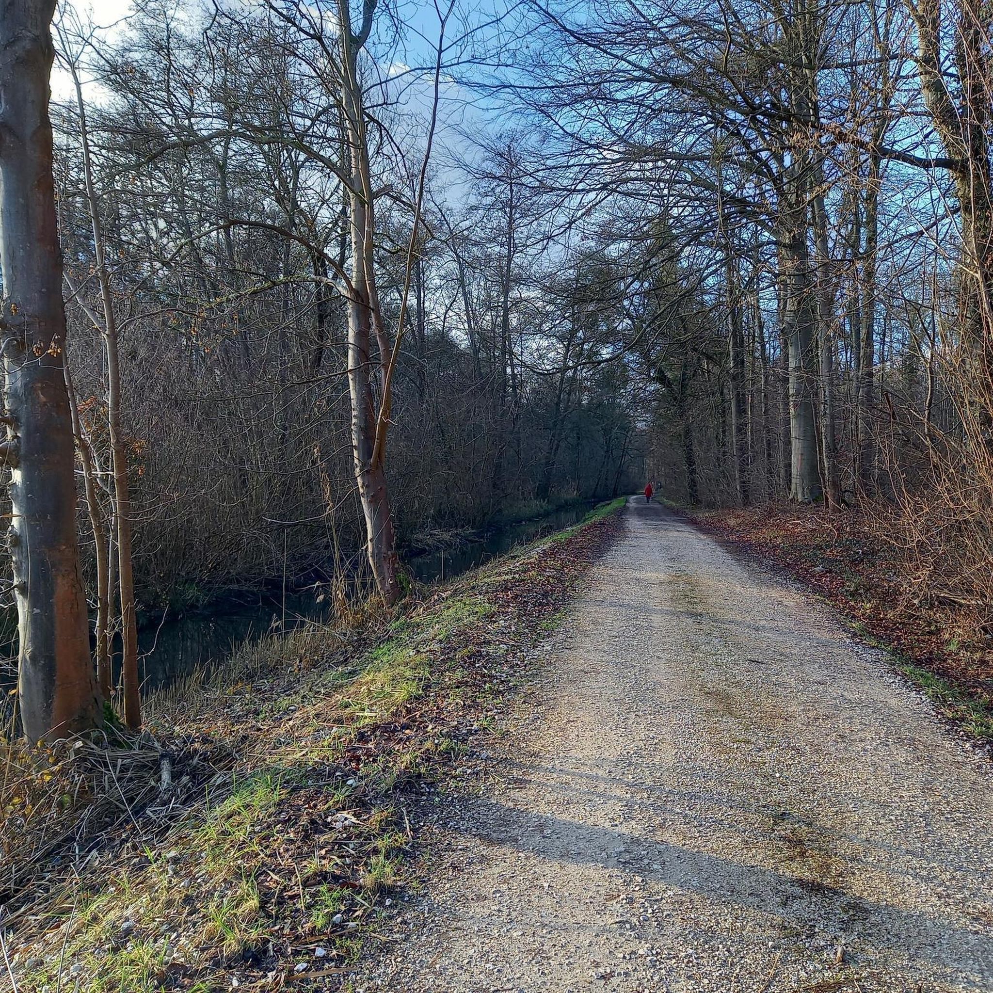
Hikes from bus stations in Naturpark Oberpfälzer Wald
Hikes from bus stations around Burglengenfeld
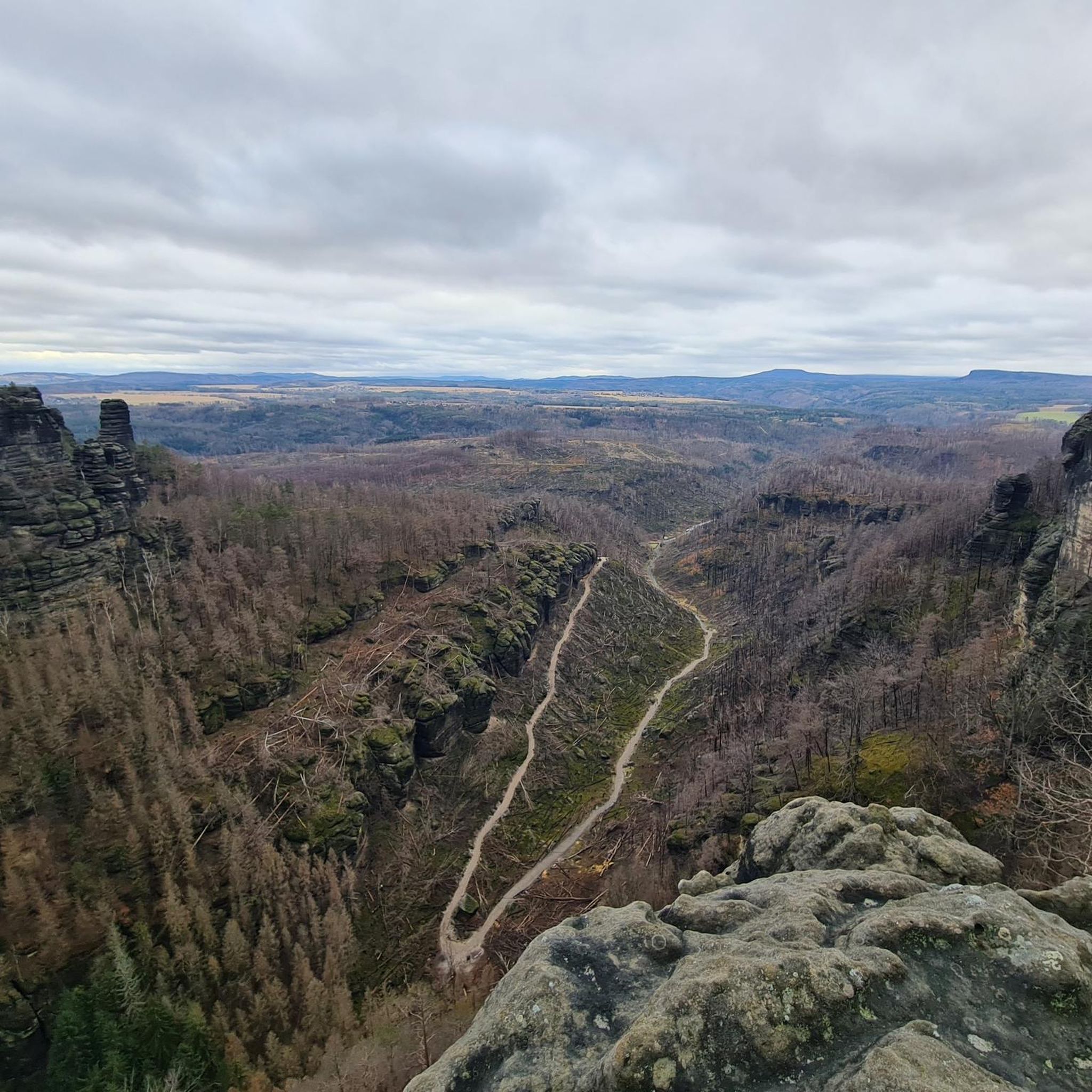
Hikes from bus stations in Pfahl
Hikes from bus stations around Maxhütte-Haidhof
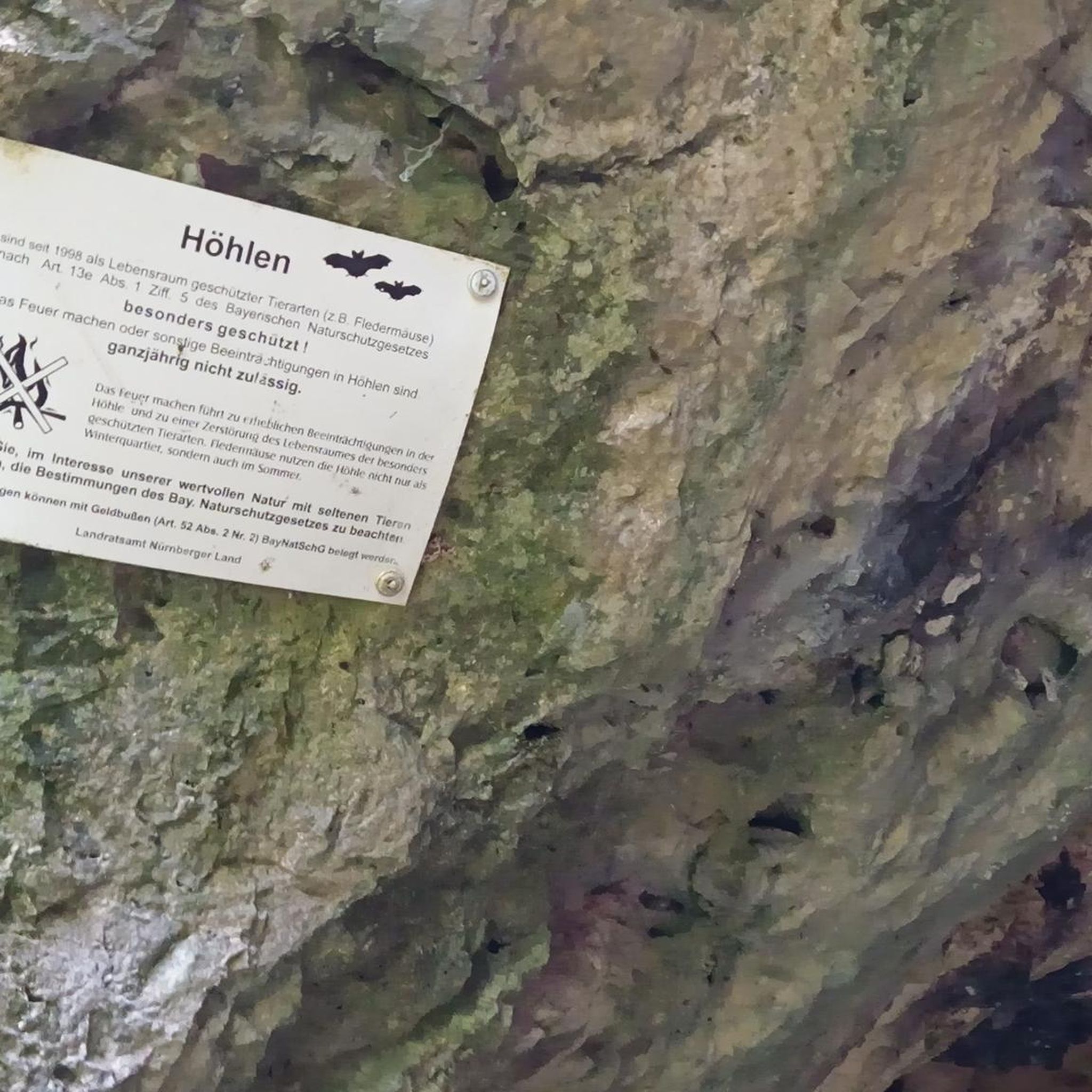
Hikes from bus stations around Charlottenhofer Weihergebiet
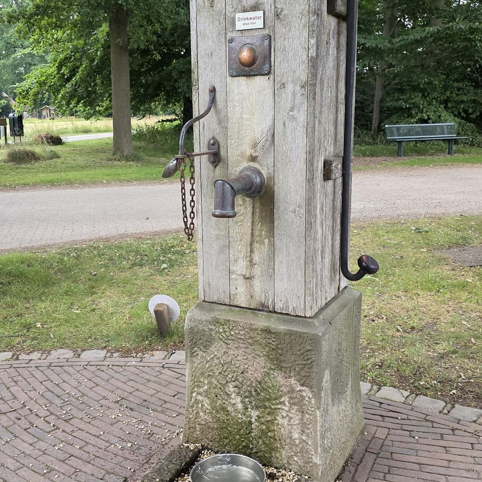
Hikes from bus stations around Hammersee

Hikes from bus stations in Raffa
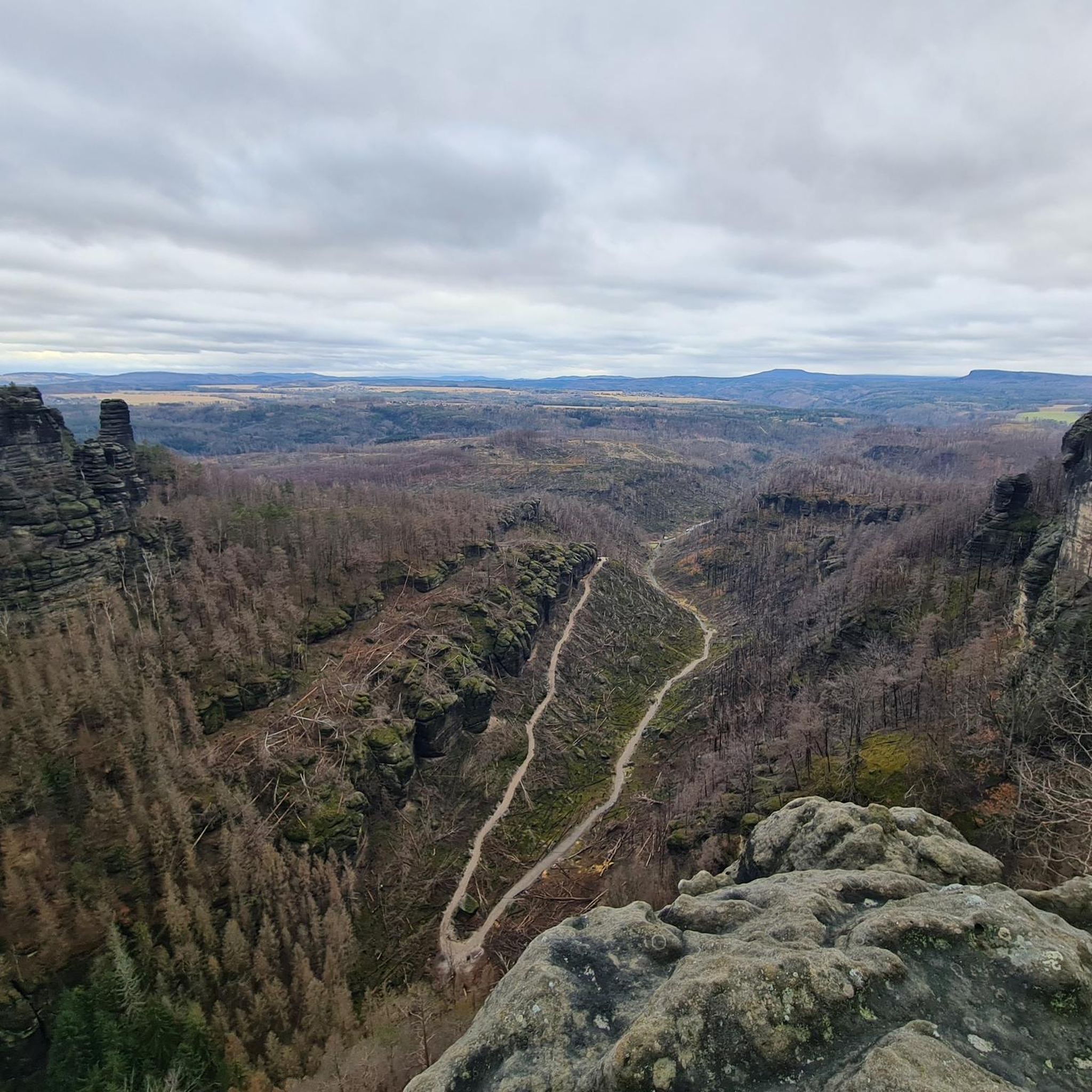
Hikes from bus stations around Brückelsee
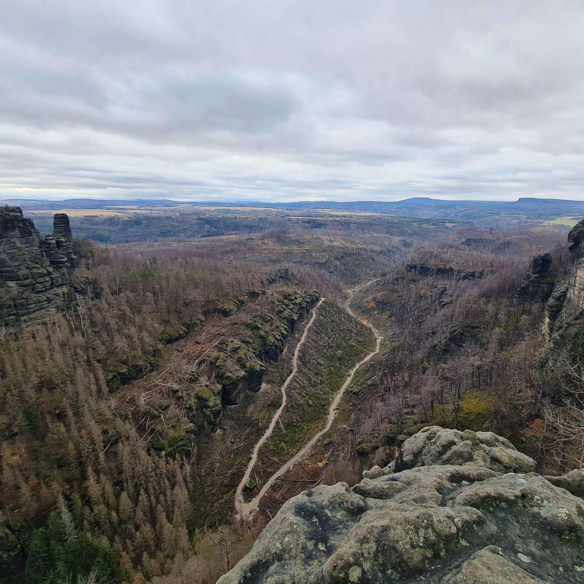
Hikes from bus stations around Murner Lake

Hikes from bus stations in Wald- Und Heidelandschaft Östlich Von Bodenwöhr Und Bruck I. D. Opf.
Other adventures in Schwandorf


Tips from the Community

A beautiful view.
1
0
A beautiful place to linger and enjoy the view
2
0
Reminder of the village with audio information about power generation by hand crank.
0
0
It seems a bit lost if you don't know the historical background. Highly interesting, though.
3
0

beautiful view of the Großer Arber
0
0
Unfortunately left to decay, in some places it seems as if time has stood still
0
0

… abandoned in 2006 when the ski area went bankrupt it still gives you an idea of how it could have been. Too sad there is nothing left of the tourism.
0
0

Good shelter for showers. From here, you can hike to Peilstein, Wackelstein, Riedelhöhe, and Geißeck. You can also descend to Hirschling.
0
0
Frequently Asked Questions
How many bus-accessible hiking trails are available in Schwandorf?
The Schwandorf region offers a vast network of hiking trails, with over 1,700 routes accessible by public transport. This includes a wide range of options, from easy strolls to more challenging treks, ensuring there's something for every hiker.
What kind of landscapes can I expect on bus-accessible hikes in Schwandorf?
Schwandorf's bus-accessible trails lead through diverse landscapes. You'll find picturesque forests, rolling hills, and scenic routes along the Naab and Regen rivers. Many trails also feature beautiful lakes like Lake Murner and Lake Steinberg, offering stunning waterside views.
Are there any easy, circular hikes starting from a bus station in Schwandorf?
Yes, there are several easy, circular routes. For a pleasant and accessible option, consider the Eselweiher loop. This easy hike is just over 7 km long with minimal elevation gain, perfect for a relaxed outing.
What are some notable natural features or landmarks I can see on these trails?
Many bus-accessible trails in Schwandorf offer access to impressive natural features and historical landmarks. You can explore unique rock formations in river valleys, discover historic castles like the Stockenfels castle ruins, or visit the Murnthal gorge. The region is also dotted with beautiful lakes such as Lake Murner and Lake Steinberg.
Are there any family-friendly bus-accessible hikes in Schwandorf?
Absolutely! The trails around Lake Steinberg are particularly ideal for families, often featuring interactive stations for children. Many easy, flat routes, especially those around the lakes, are suitable for all ages and offer beautiful views.
Can I bring my dog on bus-accessible hiking trails in Schwandorf?
Yes, many trails in Schwandorf are dog-friendly. However, it's always recommended to keep your dog on a leash, especially in nature reserves, near wildlife enclosures, or when passing through populated areas. Always carry water for your pet and clean up after them.
What is the best time of year to go hiking from bus stations in Schwandorf?
The best times for hiking in Schwandorf are spring and autumn. During these seasons, the weather is mild, and the landscape is particularly vibrant, with blossoming plants in spring or rich autumnal colors. Summer can also be pleasant, but it's advisable to start early to avoid the midday heat.
Are there any routes that offer good viewpoints or scenic vistas?
Yes, many routes provide excellent viewpoints. For example, the View from Köblitzplatte – Viewpoint loop from Münchshofen offers panoramic views. Additionally, trails along the Regen Valley and around Lake Eixendorf are known for their scenic vistas. Don't miss the View of Lake Murnersee or the Observation Tower at Murner See.
What do other hikers enjoy most about the bus-accessible trails in Schwandorf?
The Schwandorf region is highly rated by the komoot community, with an average score of 4.6 stars. Reviewers often praise the diverse landscapes, the well-maintained trails, and the accessibility of many routes by public transport. The combination of forests, lakes, and historical sites is frequently highlighted as a major draw.
Are there any longer, more challenging bus-accessible hikes available?
For those seeking a longer and more challenging experience, sections of the famous Goldsteig Hiking Trail pass through Schwandorf and are accessible by bus. While not a single bus-accessible loop, you can plan point-to-point hikes along this long-distance trail. Another moderate option is the Bohemian Forest Tower – Na Pleši Inn loop from Stadlern, offering a good workout with significant elevation.
Can I find refreshments or places to eat near the bus-accessible trailheads?
Yes, Schwandorf and its surrounding villages offer various cafes, pubs, and restaurants. Many trailheads, especially those in or near towns, will have options for refreshments. It's always a good idea to check local listings or komoot's highlight feature for specific recommendations along your chosen route.
Most popular routes in Schwandorf
Most popular attractions in Schwandorf

Get inspired with the komoot mobile app


Didn’t find what you were looking for?
Check out more Hikes throughout Schwandorf below and find the perfect route in your destination.
Explore more
Browse the best Hikes in other regions.
