The best hikes from bus stations around Kreis Soest
4.6
(25894)
103,765
hikers
2,260
hikes
Bus station hiking trails around Kreis Soest traverse a varied landscape, from the expansive woodlands of the Arnsberg Forest Nature Park to the shores of the Möhnesee reservoir. The region features gently rolling river valleys along the Lippe in the north and more hilly, forested areas further south. This diverse topography includes the agricultural plains of the Soester Börde and numerous nature reserves protecting varied flora and fauna.
Best bus station hiking trails around Kreis Soest
- The most popular bus…
Last updated: June 29, 2026
4.5
(807)
2,745
hikers
12.9km
03:24
120m
120m
Moderate hike. Good fitness required. Easily-accessible paths. Suitable for all skill levels.
4.4
(376)
1,487
hikers
8.78km
02:17
60m
60m
Moderate hike. Good fitness required. Easily-accessible paths. Suitable for all skill levels.

Sign up for free
4.6
(268)
1,589
hikers
4.67km
01:18
90m
90m
Easy hike. Great for any fitness level. Easily-accessible paths. Suitable for all skill levels.
4.6
(299)
1,065
hikers
9.22km
02:30
120m
130m
Moderate hike. Good fitness required. Easily-accessible paths. Suitable for all skill levels.
3.9
(7)
41
hikers
4.91km
01:15
20m
20m
Easy hike. Great for any fitness level. Easily-accessible paths. Suitable for all skill levels.
Get access to more routes and recommendations from other explorers.
Sign up for free
Already have an account?
Our route recommendations are based on thousands of hikes, rides, and runs completed by other people on komoot.
Start today with a free account
Your next adventure awaits.
Login or Signup
Popular around Kreis Soest

Hikes from bus stations around Lippstadt
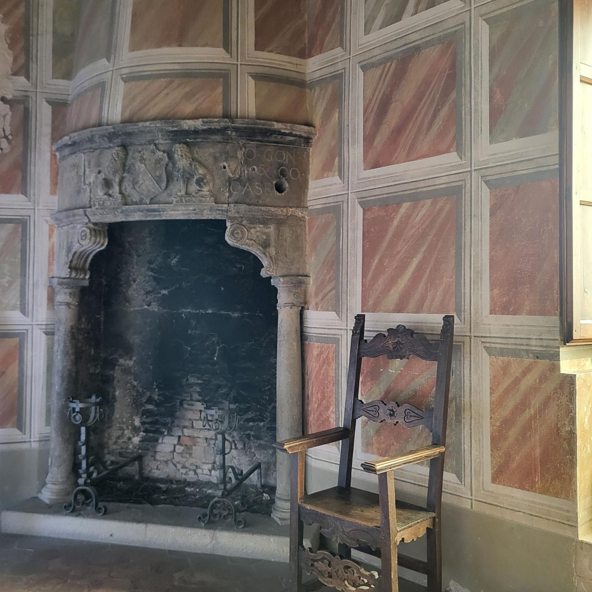
Hikes from bus stations around Warstein

Hikes from bus stations around Rüthen

Hikes from bus stations around Ense

Hikes from bus stations around Bad Sassendorf
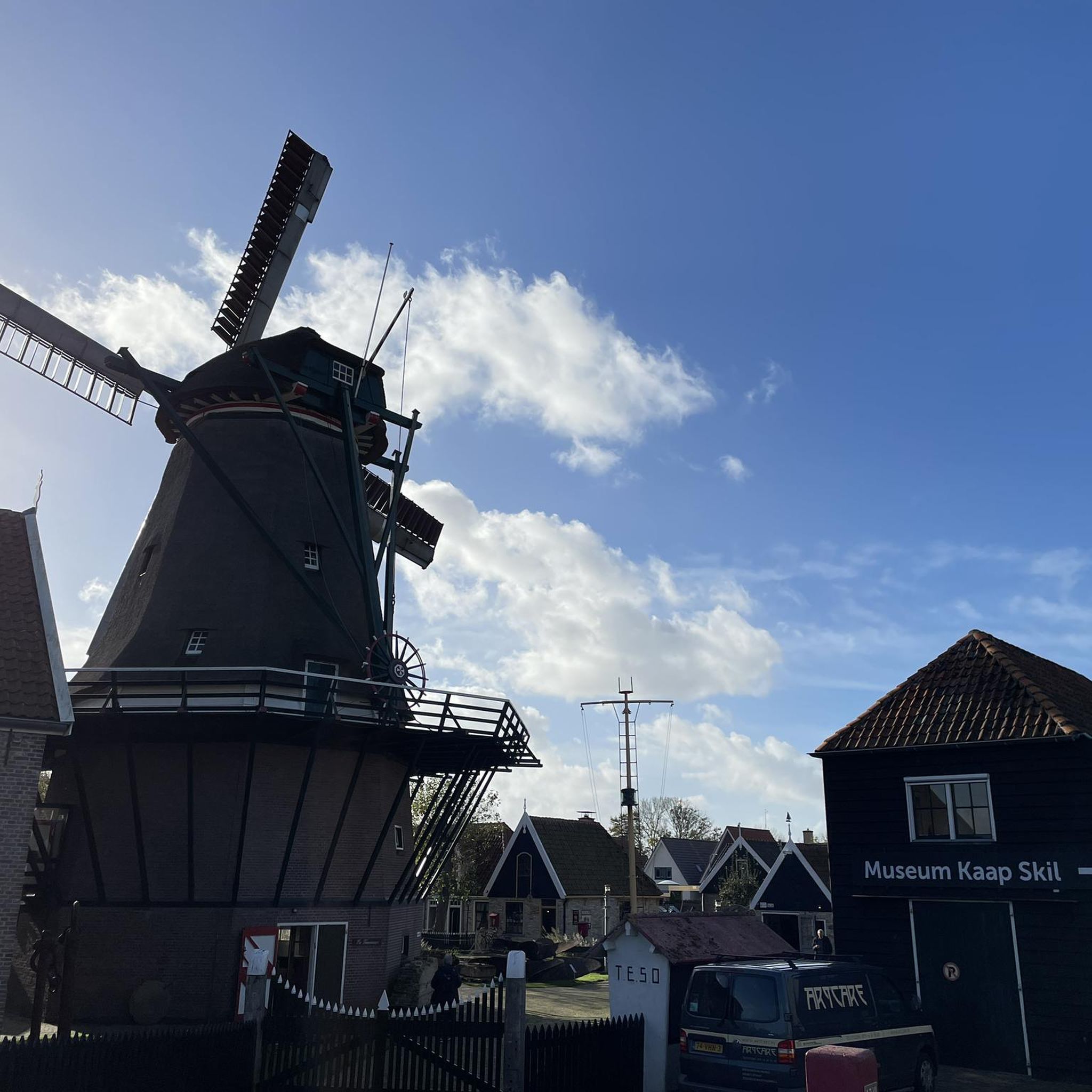
Hikes from bus stations around Erwitte
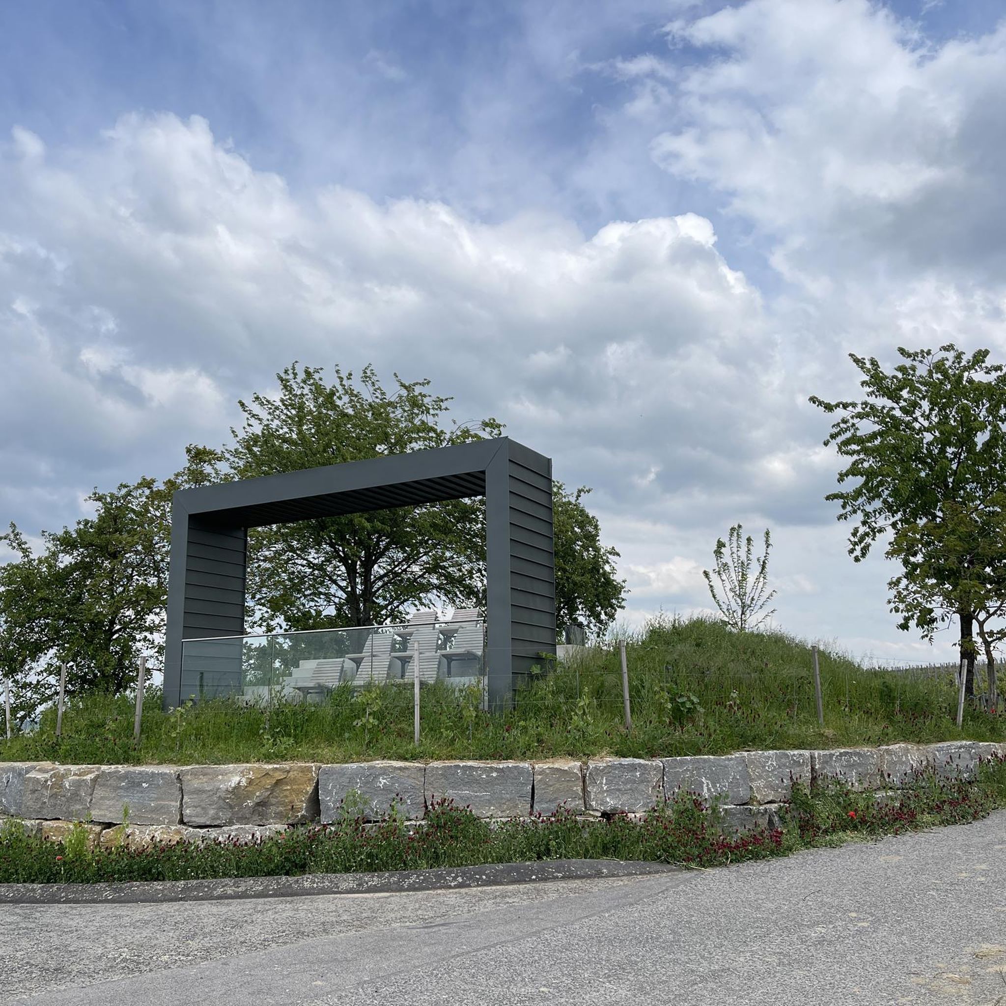
Hikes from bus stations around Wickede (Ruhr)
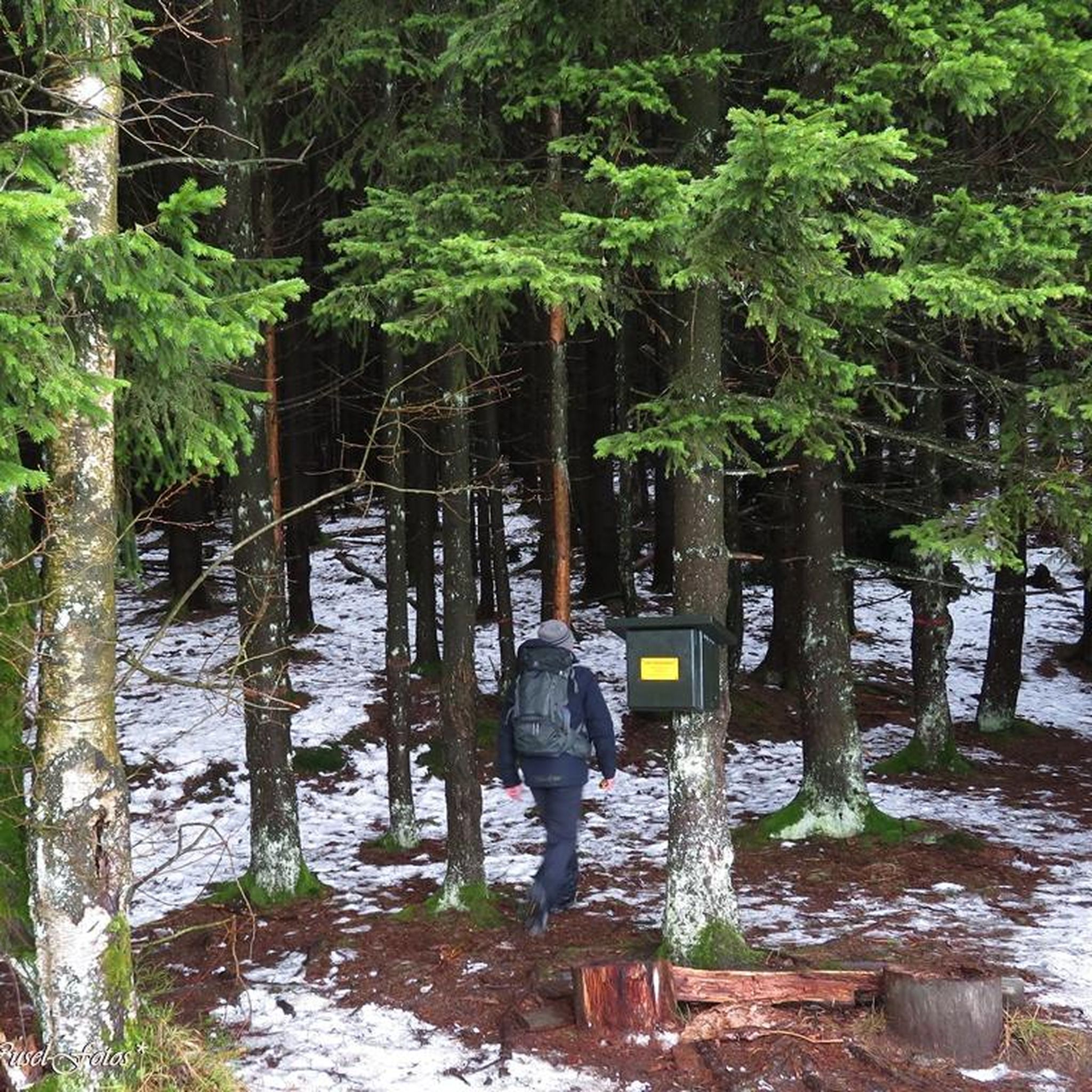
Hikes from bus stations around Lippetal
Hikes from bus stations around Anröchte
Hikes from bus stations around Welver
Other adventures around Kreis Soest


Tips from the Community

The balancing pond (also called balancing basin) of the Möhnetalsperre is a reservoir with a capacity of 0.66 million m³, located directly below the 40-meter-high main dam wall. It primarily serves as a stilling basin, which regulates and absorbs the large volumes of water from the connected hydroelectric power plant. Purpose: Buffer basin for uniform water release into the Möhne, to prevent uncontrolled fluctuations below the dam. Accessibility: A popular starting point for bike and hiking tours directly at the dam wall.
0
0
A small biotope, beautiful photo spot! 📷👍
0
0

nice for taking photos
0
0


🎒👟👟It's wonderful to walk around the balancing basin🔄, Crystal-clear water and a fantastic overall view of the dam🌊,- An impressive structure & photo opportunity 📸🫨
0
0
The Möhne Dam was built from 1908 to 1913 and inaugurated on July 12, 1913. In the year of its inauguration, it was the largest dam in Europe. During World War II, the dam was destroyed by a British bombing raid on the night of May 16-17, 1943. The flood, which spread over the Möhne River and deep into the Ruhr Valley, killed nearly 1,600 people. Reconstruction, using the original building materials, was completed on October 3, 1943, with the laying of the road surface on the dam crest.
4
0
🎒👟👟It's wonderful to walk around the balancing basin🔄, Crystal-clear water and a fantastic overall impression of the dam🌊,- An impressive structure & photo opportunity 📸🫨
2
0

Barrier-free pavilion built into the lake with panoramic views.
2
0
Frequently Asked Questions
How many bus-accessible hiking trails are available in Kreis Soest?
There are over 2300 hiking routes in Kreis Soest that are accessible by bus, offering a wide variety of experiences. Among these, more than 1300 are considered easy, 800+ are moderate, and around 70 are difficult, catering to all fitness levels.
Are there family-friendly hiking routes accessible by bus in Kreis Soest?
Yes, Kreis Soest offers many family-friendly options. For instance, the Wildnis-Erlebnistour für Familien in Bad Sassendorf is an easy 4.9 km route perfect for children, featuring adventure paths and exciting stations. The region's diverse landscapes, from the Möhnesee to the Arnsberg Forest, provide engaging environments for all ages.
What kind of natural features can I expect to see on bus-accessible hikes in Kreis Soest?
Hikes in Kreis Soest offer a rich variety of natural features. You can explore the expansive woodlands of the Arnsberg Forest Nature Park, enjoy the scenic shores of the Möhnesee, or discover the unique riverine landscapes of the Lippe floodplains. The region is also home to 91 nature reserves, preserving diverse flora and fauna, beech forests, and orchards.
Are there any notable landmarks or attractions along the bus-accessible hiking trails?
Absolutely! Many routes pass by significant landmarks. You can visit the historic Möhnesee Dam, a prominent monument, or enjoy panoramic views from the View from Kanzel Bridge. The Hunting Lodge Sankt Meinolf is also accessible on some routes, such as the Hunting Lodge Sankt Meinolf – Torhaus at Möhnesee loop from Wilhelmsruh.
What is the best time of year for hiking in Kreis Soest?
Kreis Soest is suitable for hiking year-round, with each season offering a unique experience. Spring brings blooming landscapes, while summer is ideal for enjoying the Möhnesee. Autumn transforms the Arnsberg Forest with vibrant colors, and even winter offers serene, quiet walks, especially around the Möhnesee or through the forests.
Can I find circular hiking routes that start and end at a bus station?
Yes, many bus-accessible routes in Kreis Soest are circular, allowing for convenient return to your starting point. An excellent example is the Lake Möhne – Möhnesee Pedestrian Bridge loop from Möhnesee, which offers beautiful views around the reservoir.
What do other hikers say about the trails in Kreis Soest?
The komoot community highly rates the hiking experiences in Kreis Soest, with an average score of 4.58 out of 5 stars from over 24,000 ratings. Hikers frequently praise the well-maintained paths, the diverse scenery ranging from dense forests to picturesque lake views, and the accessibility of many trailheads via public transport.
Are there any long-distance or multi-day hiking options accessible by bus?
Yes, parts of longer routes are accessible by bus. For example, a section of the renowned Sauerland Forest Route, recognized as one of NRW's most beautiful multi-day trails, passes through the Arnsberg Forest Nature Park. You can access segments like the Sauerland Waldroute by bus and train – Bestwig (NWL) to Brilon, allowing you to experience portions of these extensive trails.
Are there opportunities for refreshments or places to eat along the bus-accessible trails?
Many hiking areas in Kreis Soest, especially around popular spots like the Möhnesee, offer opportunities for refreshments. While specific cafes or pubs directly at bus stops are not listed, the region is known for its hospitality, and you'll often find eateries in nearby villages or towns accessible from your hiking route.
What kind of terrain can I expect on these bus-accessible hikes?
The terrain in Kreis Soest is quite varied. You'll find everything from gently rolling paths along river valleys and around the Möhnesee to more challenging, hilly sections within the Arnsberg Forest. The district's topography includes 91 named mountains, with Plackweghöhe being the highest, offering diverse landscapes for all preferences.
Can I bring my dog on the bus-accessible hiking trails in Kreis Soest?
Generally, dogs are welcome on hiking trails in Kreis Soest. It's always advisable to keep them on a leash, especially in nature reserves and near wildlife. Specific rules for public transport with dogs may apply, so check local bus operator guidelines before your trip.
Most popular routes around Kreis Soest
Most popular attractions around Kreis Soest

Get inspired with the komoot mobile app


Didn’t find what you were looking for?
Check out more Hikes throughout Kreis Soest below and find the perfect route in your destination.
Explore more
Browse the best Hikes in other regions.
