The best hikes from bus stations around Hildesheim
4.6
(14188)
50,771
hikers
2,319
hikes
Bus station hiking trails around Hildesheim provide access to a diverse landscape characterized by green river floodplains, extensive forests, and rolling hills. The region features areas like the Hildesheim Forest and the Giesener Berge, offering varied terrain for outdoor activities. Hikers can explore tranquil woodlands, open fields, and low mountain regions, with paths suitable for different experience levels.
Best bus station hiking trails around Hildesheim
- The most popular bus station hiking route is Hildesheim Panoramaweg – distant views, a…
Last updated: October 15, 2026
4.3
(25)
74
hikers
6.47km
01:44
80m
80m
Easy hike. Great for any fitness level. Easily-accessible paths. Suitable for all skill levels.
4.4
(20)
61
hikers
11.5km
03:04
120m
120m
Moderate hike. Good fitness required. Easily-accessible paths. Suitable for all skill levels.

5.0
(2)
13
hikers
15.1km
04:14
290m
320m
Moderate hike. Good fitness required. Easily-accessible paths. Suitable for all skill levels.
4.7
(130)
329
hikers
14.4km
04:00
260m
260m
Moderate hike. Good fitness required. Easily-accessible paths. Suitable for all skill levels.
4.2
(98)
279
hikers
Moderate hike. Good fitness required. Easily-accessible paths. Suitable for all skill levels.
Get access to more routes and recommendations from other explorers.
Already have an account?
Our route recommendations are based on thousands of hikes, rides, and runs completed by other people on komoot.
Start today with a free account
Your next adventure awaits.
Popular around Hildesheim
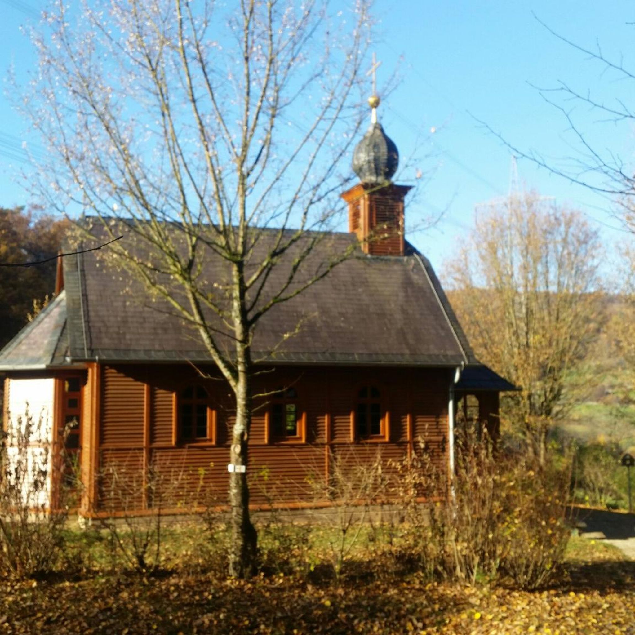
Hikes from bus stations around Sarstedt

Hikes from bus stations around Duinger Wald
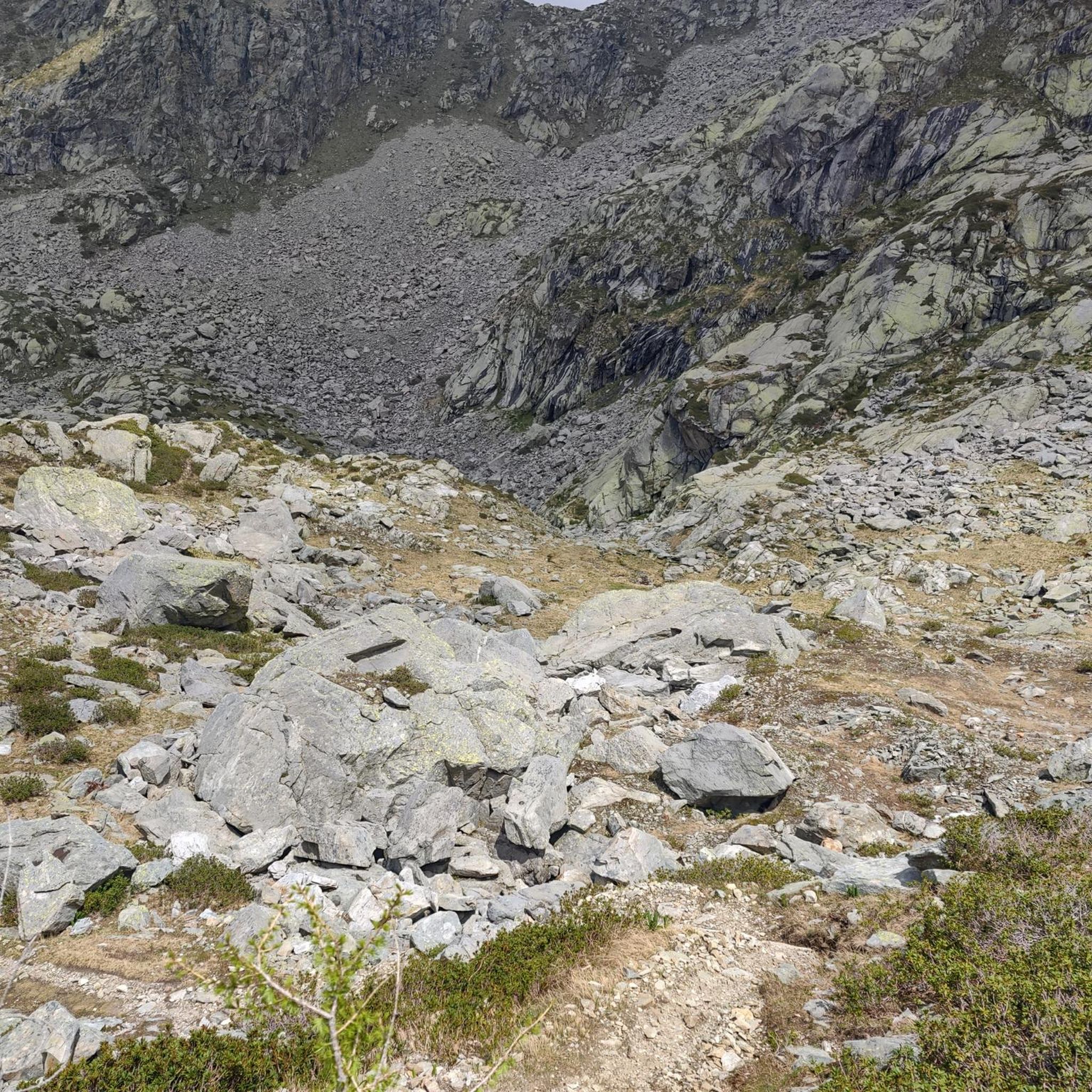
Hikes from bus stations in Finkenberg/ Lerchenberg
Hikes from bus stations around Bad Salzdetfurth

Hikes from bus stations in Weenzer Bruch
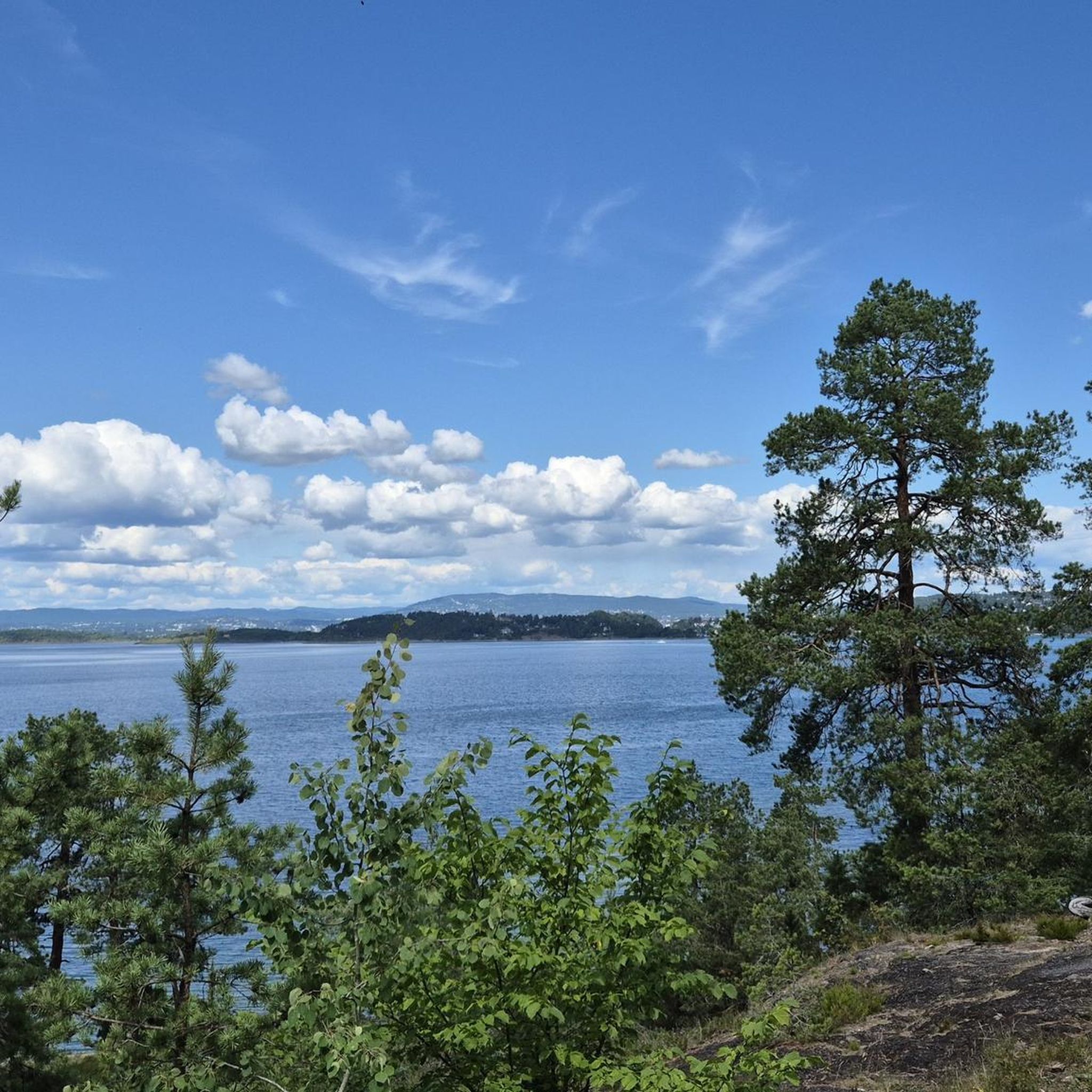
Hikes from bus stations in Duinger Berg

Hikes from bus stations in Sackwald
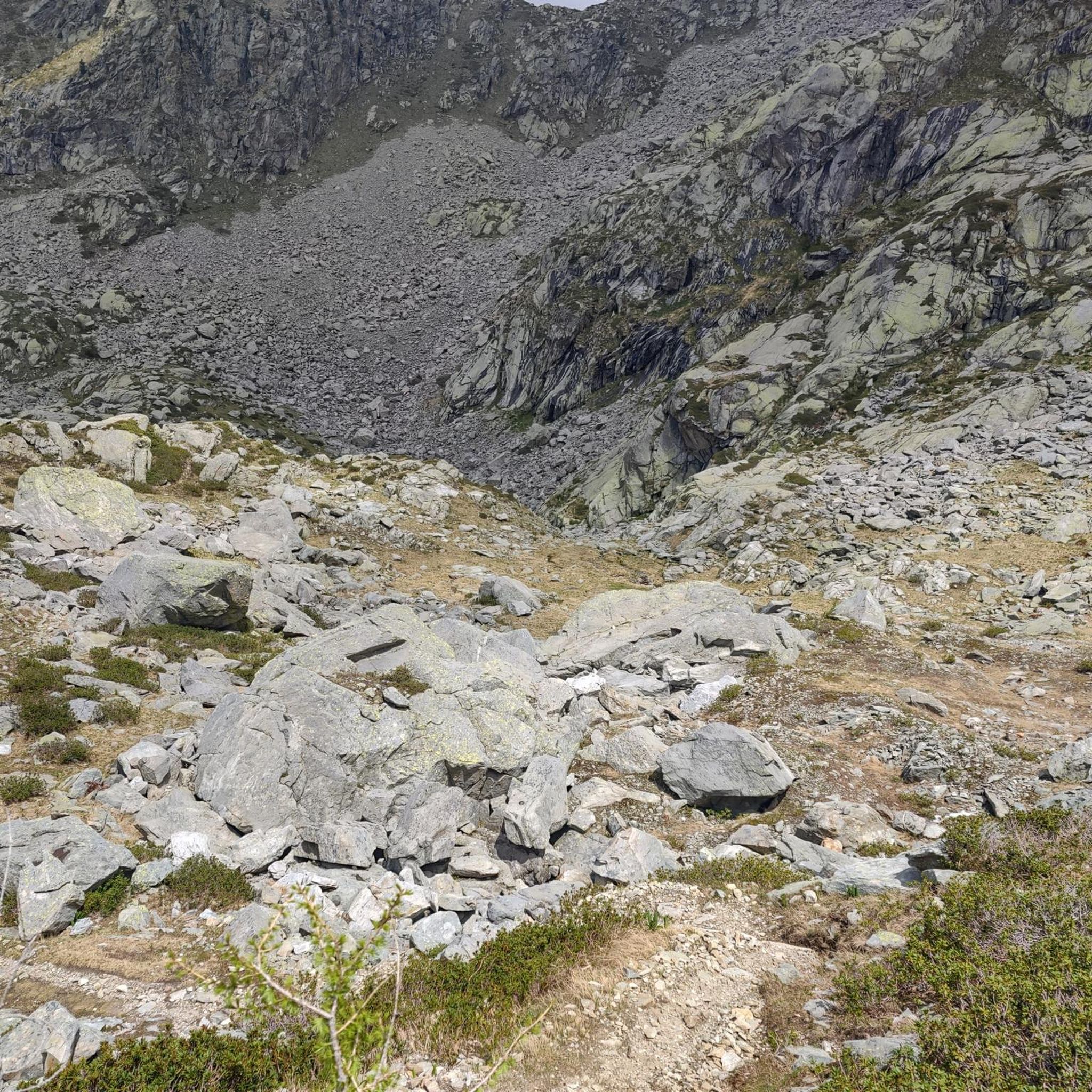
Hikes from bus stations around Hildesheimer Wald

Hikes from bus stations in Sauberge
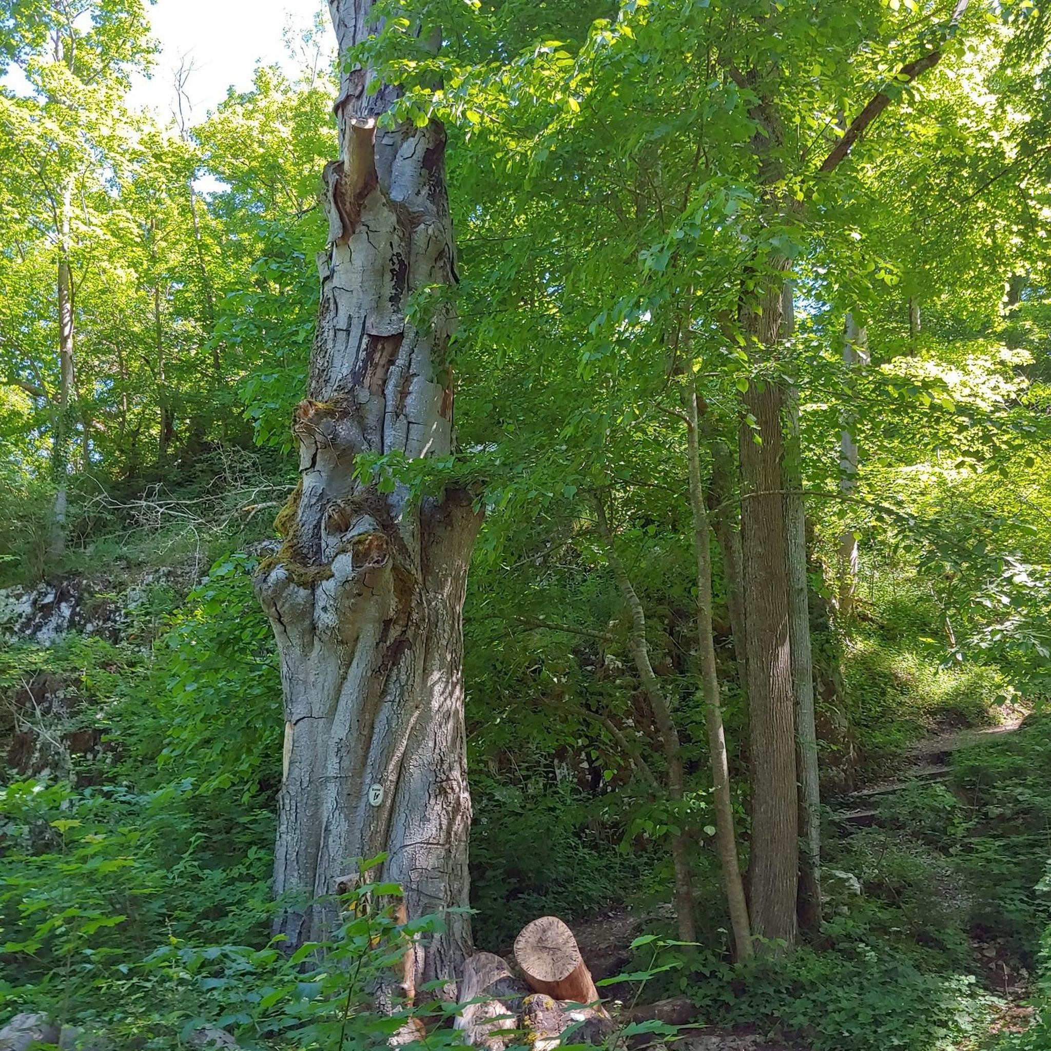
Hikes from bus stations around Marienberg
Other adventures around Hildesheim


Tips from the Community

From here I have a beautiful view🤩.
0
0

The bench for aging heroes came at the right time for me. 😉 A great point on the trail.
1
0

The best view to the north is about 200 m east of the cross
1
0
"Summit" is a bit of an exaggeration
1
0
Nice, not too steep climb to the tower
1
0
If you're in the area, you should definitely stop by 👀.
4
0
We like being here .
5
0

The nature reserve is located on the southwest slope of the Mühlenberg mountain between Barienrode and Söhre near Hildesheim. Former use as sheep pasture and orchards favored the development of nutrient-poor grasslands and heather stands.
2
0
Frequently Asked Questions
How many bus station hiking trails are available around Hildesheim?
There are over 2,200 hiking routes around Hildesheim that are accessible from bus stations. This includes a wide variety of trails, from easy strolls to more challenging forest hikes, ensuring there's something for every preference.
What do other hikers enjoy most about the bus-accessible trails in Hildesheim?
The komoot community highly rates the hiking experiences around Hildesheim, with an average score of 4.6 stars from over 12,500 ratings. Hikers often praise the diverse landscapes, from tranquil river floodplains to dense forests and rolling hills, as well as the convenience of public transport access to trailheads.
Are there any easy, short walks accessible by bus from Hildesheim?
Yes, for an easy and scenic walk, consider the Hildesheim Panoramaweg – distant views. This route is just over 6 km long and offers beautiful vistas across fields to the city's distinctive church steeples, making it perfect for a relaxing outing.
What kind of natural attractions can I expect to see along these bus-accessible routes?
Hildesheim's bus-accessible trails lead through diverse natural settings. You can discover serene lakes like Lake Marien or explore the unique landscapes of the Giesener Teiche Nature Reserve. Some routes also feature interesting natural monuments such as Lippold's Cave.
Are there any moderate, longer hikes that can be reached by bus?
Absolutely. For a moderate challenge, the Schwarze Heide hike – atmospheric offers an engaging 11 km journey through atmospheric woodlands. Another option is the Blaue Hödeken – water loop, a 15 km route that takes you through the Sackwald with several springs.
When is the best time of year to go hiking from bus stations in Hildesheim?
Spring and autumn are generally considered the best seasons for hiking in the Hildesheim region. During these times, nature is particularly vibrant with blooming flowers or adorned with colorful foliage, offering a beautiful backdrop for your walks. The weather is also typically mild and pleasant for outdoor activities.
Are there any circular routes accessible by bus from Hildesheim?
Yes, many routes are designed as loops for convenience. For instance, the Bench for aging heroes – Tosmar Hut loop from Landkreis Hildesheim is a moderate 14 km circular hike. Another option is the Koldingen Lakes – Koldinger See loop from Leineaue zwischen Ruthe und Koldingen, which offers a pleasant 12 km loop around the lakes.
Can I find trails that offer panoramic views or lookout points?
Yes, the region boasts several spots with rewarding views. The Hildesheim Panoramaweg, as its name suggests, provides distant views of the city. Additionally, the Galgenberg Hill, accessible via various trails, offers panoramic views of Hildesheim and its surroundings.
Are there any specific bus routes from Hildesheim ZOB that lead to popular hiking areas?
Many local bus routes from Hildesheim ZOB (central bus station) connect to trailheads. For example, routes heading towards Diekholzen or Marienrode will take you into areas with extensive forests. For specific trails like the Ith-Hils-Weg or Laves Culture Trail, you would typically take regional buses that serve the smaller towns and villages surrounding Hildesheim.
Are the bus station hiking trails in Hildesheim suitable for families?
Yes, many trails are suitable for families. The region offers a variety of easy and moderately challenging routes through forests and along river floodplains, which are enjoyable for all ages. The 'Kleeblatt' nature experience area, for instance, features varied routes that are often family-friendly.
Are there any historical or cultural points of interest along the bus-accessible hiking routes?
Beyond natural beauty, some routes integrate historical elements. The Laves Culture Trail, for example, combines natural landscapes with architectural highlights like Derneburg Castle. While not directly on a bus-accessible route in this guide, Hildesheim itself is rich in history, with UNESCO World Heritage sites like St. Michael's Church and St. Mary's Cathedral, which can be explored before or after your hike.
Most popular routes around Hildesheim
Most popular attractions around Hildesheim

Get inspired with the komoot mobile app


Didn’t find what you were looking for?
Check out more Hikes throughout Hildesheim below and find the perfect route in your destination.
Explore more
Browse the best Hikes in other regions.
