The best hikes from bus stations around Salzgitter
4.5
(4607)
19,475
hikers
363
hikes
Hiking around Salzgitter offers diverse landscapes, blending industrial heritage with natural surroundings. The region is characterized by the Salzgitter-Höhenzug (Salzgitter Hills), providing varied terrain with narrow forest paths and ridge trails. Extensive forests like the Oderwald and parts of the Elm-Lappwald Nature Park offer dense woodlands and diverse flora. Additionally, the Salzgittersee and Oderwaldsee provide tranquil settings for lakeside walks.
Best bus station hiking trails around Salzgitter
- The most popular bus station hiking route is Salzgitter Ridge Trail – Heron…
Last updated: October 13, 2026
4.6
(147)
419
hikers
Moderate hike. Good fitness required. Easily-accessible paths. Suitable for all skill levels.
4.1
(116)
356
hikers
Easy hike. Great for any fitness level. Easily-accessible paths. Suitable for all skill levels.

4.7
(569)
2,069
hikers
7.29km
01:51
20m
20m
Easy hike. Great for any fitness level. Easily-accessible paths. Suitable for all skill levels.
4.6
(66)
218
hikers
Easy hike. Great for any fitness level. Easily-accessible paths. Suitable for all skill levels.
4.7
(78)
221
hikers
10.1km
02:44
130m
130m
Moderate hike. Good fitness required. Easily-accessible paths. Suitable for all skill levels.
Get access to more routes and recommendations from other explorers.
Already have an account?
Our route recommendations are based on thousands of hikes, rides, and runs completed by other people on komoot.
Start today with a free account
Your next adventure awaits.
Popular around Salzgitter

Hikes from bus stations in Lichtenberge

Hikes from bus stations in Tagebau Haverlahwiese

Hikes from bus stations around Salzgittersee

Hikes from bus stations around Reihersee

Hikes from bus stations in Heerter See Und Waldgebiet Heerter Strauchholz

Hikes from bus stations around Worthlah
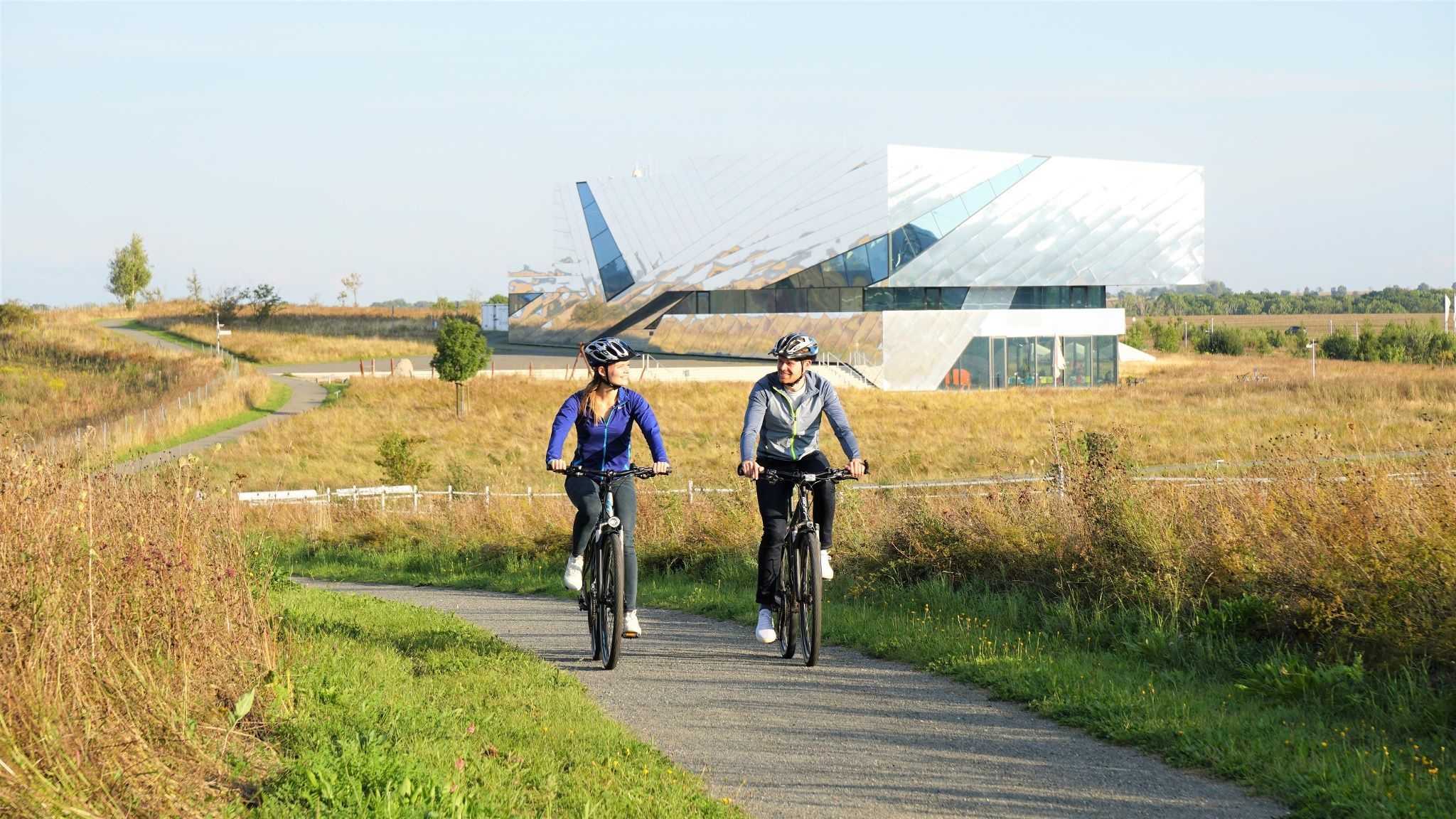
Nature and culture by bike – Brunswick Land loop
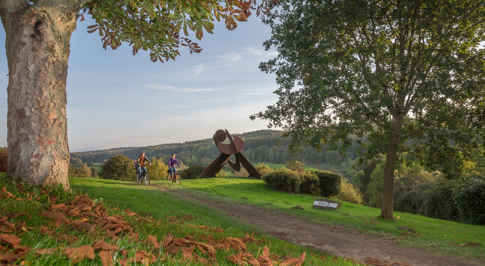
Between knights, industry and rivers – cycling in Salzgitter in Lower Saxony
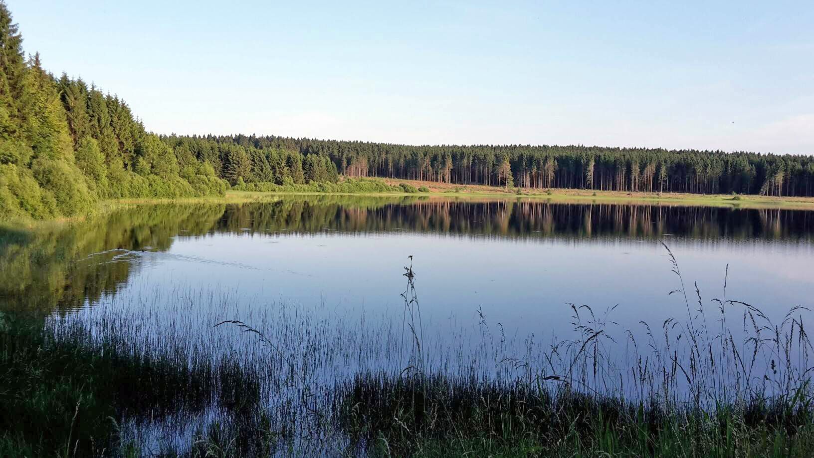
The best swimming lakes in Lower Saxony
Other adventures around Salzgitter


Tips from the Community

The Salzgittersee bridge connects the west bank of the lake directly with the tree-lined island. Construction: It is an impressive cable-stayed bridge (often referred to as a suspension bridge) with striking pylons. Function: It serves as access to the approximately 25-hectare island in the lake, which is used as a local recreation area. View: From the bridge, you have a panoramic view of the entire body of water.
0
0
The Salzgittersee is an artificially created lake in the city area of Salzgitter-Lebenstedt, which primarily serves as a local recreation and water sports area. Construction: The lake was created between 1956 and 1960 by excavating gravel and sand as part of urban development in Salzgitter. In the late 1970s, it was expanded and its island area was enlarged. Today, the water surface covers approximately 75 hectares, with a maximum depth of around 17 meters and a 25-hectare island. Usage: Water sports: Sailing, surfing, stand-up paddling (SUP), canoeing, diving, and a water ski facility. Swimming & Beach: Over two kilometers of sandy beach (on the west and east banks) with DLRG supervision and shallow water zones. Leisure & Sports: A continuous, approx. 15 km long circular path for cycling, inline skating, and walking, as well as playgrounds, barbecue areas, and a disc golf facility. Nature: The inland island, accessible via a bridge, offers park-like paths and green spaces for recreation.
0
0

The sculpture ,, Jakobsleiter " can be admired on the Skulpturenweg Salzgitter Bad. Great photo motif
0
0

Rides best from East to West. 1/3 slightly uphill, 2/3 downhill
0
0


Great limestone wall in front of an unkempt barbecue area.
1
0
No view, the plants have grown.
1
0
Beautiful view of the Heerter See.
1
0
Frequently Asked Questions
How many bus station hiking trails are available in Salzgitter?
There are nearly 400 hiking routes around Salzgitter that are accessible by bus. This includes over 250 easy trails, 119 moderate routes, and a few more challenging options, ensuring a suitable path for every hiker.
What kind of terrain can I expect on bus-accessible hikes in Salzgitter?
Salzgitter's bus-accessible trails offer diverse terrain, from the scenic ridge paths and forest trails of the Salzgitter-Höhenzug to leisurely paved routes around the Salzgittersee. You'll find varied landscapes, including dense forests, open fields, and areas with panoramic views.
Are there family-friendly hiking trails accessible by bus in Salzgitter?
Yes, many bus-accessible trails in Salzgitter are suitable for families. The Salzgittersee Marina – Wasserski Salzgitter loop from Lebenstedt is an easy option around the lake, offering recreational activities. The Animal Adventure Trail in the Lebenstedt municipal forest is also ideal for children, providing an interactive way to learn about local wildlife.
Can I bring my dog on bus-accessible hiking trails in Salzgitter?
Most natural areas and hiking trails in Salzgitter are dog-friendly, provided dogs are kept on a leash, especially in nature reserves or near wildlife. Always check local signage for specific regulations. Trails through forests and around lakes, like the Watercourse in the Forest – Panoramic view of the Reihersee loop from Gebhardshagen, are generally good options for walks with your dog.
What are the best times of year for hiking in Salzgitter?
The best seasons for hiking in Salzgitter are spring and autumn. During these times, the landscape displays vibrant colors, and temperatures are pleasant, making for an enjoyable experience. While summer is also popular, some trails might be busier, especially around the Salzgittersee.
Are there any circular hiking routes accessible by bus?
Yes, many bus-accessible routes in Salzgitter are circular, allowing you to start and end at the same point, often near a bus stop. An example is the Salzgitter Ridge Trail – Heron Lake loop from Lichtenberg, which offers varied terrain and scenic views.
What historical landmarks can I see along bus-accessible hiking trails?
Several bus-accessible trails incorporate historical landmarks. The Lichtenberg Castle Ruins, a 12th-century site with panoramic views, is a prominent feature on routes in the northern Salzgitter area. You can also find trails near Salder Castle, which houses the Municipal Museum of Salzgitter.
Are there any trails with good viewpoints accessible by bus?
Yes, the Salzgitter-Höhenzug (Salzgitter Hills) offers several trails with excellent viewpoints. The
What natural features can I explore on bus-accessible hikes?
Salzgitter's bus-accessible hikes allow you to explore diverse natural features. The Salzgittersee is a central point for leisurely walks and birdwatching. The region also features dense forests, such as those around Oderwaldsee Lake, and unique geological sites like the Rock Nature Trail in Gebhardshagen, showcasing various rock formations.
What do other hikers enjoy most about bus-accessible hiking in Salzgitter?
The bus-accessible hiking trails in Salzgitter are highly rated by the komoot community, with an average score of 4.5 stars from over 4000 ratings. Reviewers often praise the diverse landscapes, the accessibility of trails from public transport, and the combination of natural beauty with historical landmarks like Lichtenberg Castle.
Are there easy, short hiking trails near bus stations in Salzgitter?
Yes, Salzgitter offers many easy and relatively short trails that are well-suited for a quick outing and are accessible by bus. For example, the Heerter See Trailhead Parking – View of Heerter Lake loop from Heerte is an easy 7.4 km loop, perfect for a relaxed walk with scenic lake views.
Can I find amenities like cafes or pubs near bus-accessible trailheads?
While specific amenities vary by location, many bus-accessible trailheads in Salzgitter are located near towns or recreational areas where you can find cafes, restaurants, or pubs. The area around Salzgittersee, for instance, offers various facilities, including places to eat and drink after your hike.
Most popular routes around Salzgitter
Most popular attractions around Salzgitter

Get inspired with the komoot mobile app


Didn’t find what you were looking for?
Check out more Hikes throughout Salzgitter below and find the perfect route in your destination.
Explore more
Browse the best Hikes in other regions.
